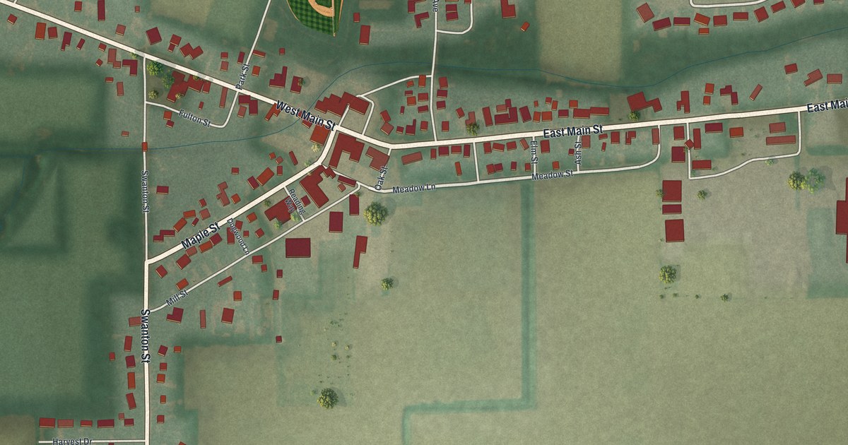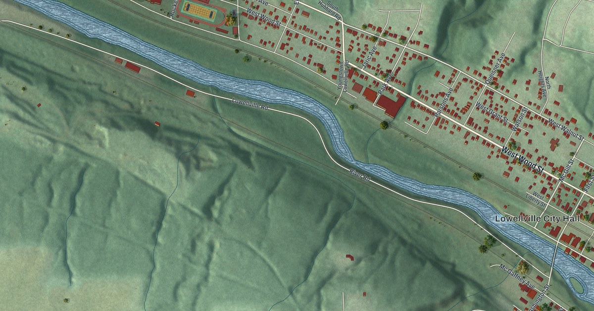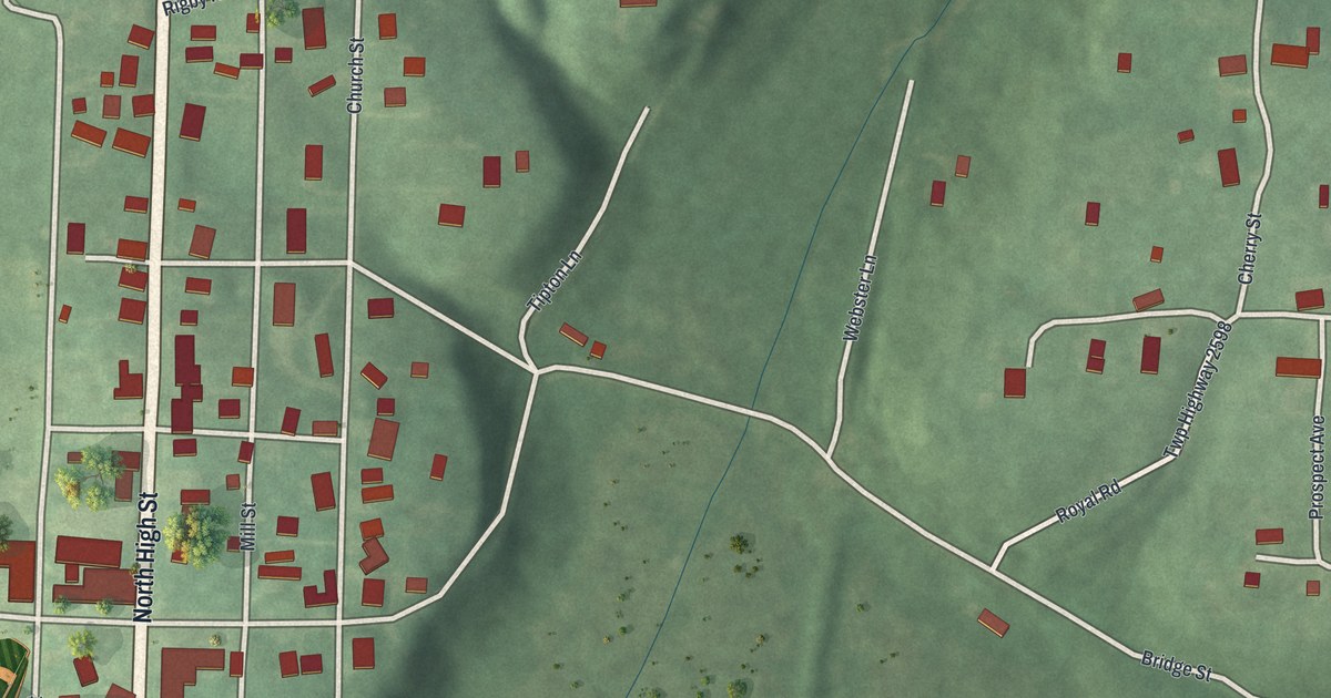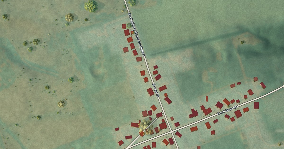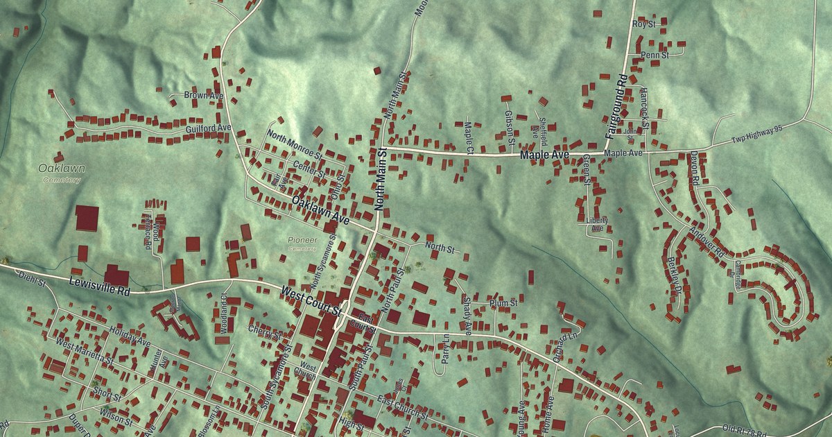
If you grew up in Woodsfield or still have family near Main Street, this map is for you. It's a new aerial view of Woodsfield, the county seat of Monroe County, Ohio, made from modern data and given a vintage look. Green hills fold all around the town. The streets fill the valley in the middle, and more than 1,600 buildings are marked in red.
Main Street, Court Street and the streets of Woodsfield
On this map you'll find North Main Street, South Main Street, West Court Street, East Court Street, Maple Avenue, Eastern Avenue, Lewisville Road, East Church Street, East Marietta Street, Fairground Road, Creamery Street, Lovers Lane, Oaklawn Cemetery, Pioneer Cemetery, and more. Each red shape is a building, so zoom in on the preview and look for yours.
Woodsfield, the Monroe County seat
Woodsfield is the county seat of Monroe County. Henry Howe wrote about it in his Historical Collections of Ohio, printed in 1891. He said the town was founded in 1815. Its founders included Archibald Woods of Wheeling and George Paul. Today the Monroe County Courthouse stands on Main Street, in the thick red blocks at the center of the map. It's on the National Register, and so are the Monroe Bank and the Monroe Theatre on North Main Street.
Sad Sam Jones of Woodsfield
Woodsfield's best-known ballplayer is Samuel Pond Jones, called Sad Sam Jones. An Ohio historical marker tells his story. He won 229 games in a 22-year career as a pitcher. He started with the Cleveland Indians in 1914. Later he pitched for the Boston Red Sox, the New York Yankees and other teams. He won 23 games for Boston in 1921 and played in four World Series. His best day came on September 4, 1923. He threw a no-hitter against the Philadelphia Athletics. His marker stands on East Church Street, just west of Eastern Avenue, near the athletic field. On the map, look for the green ball fields there.
Woodsfield and Monroe County on your wall
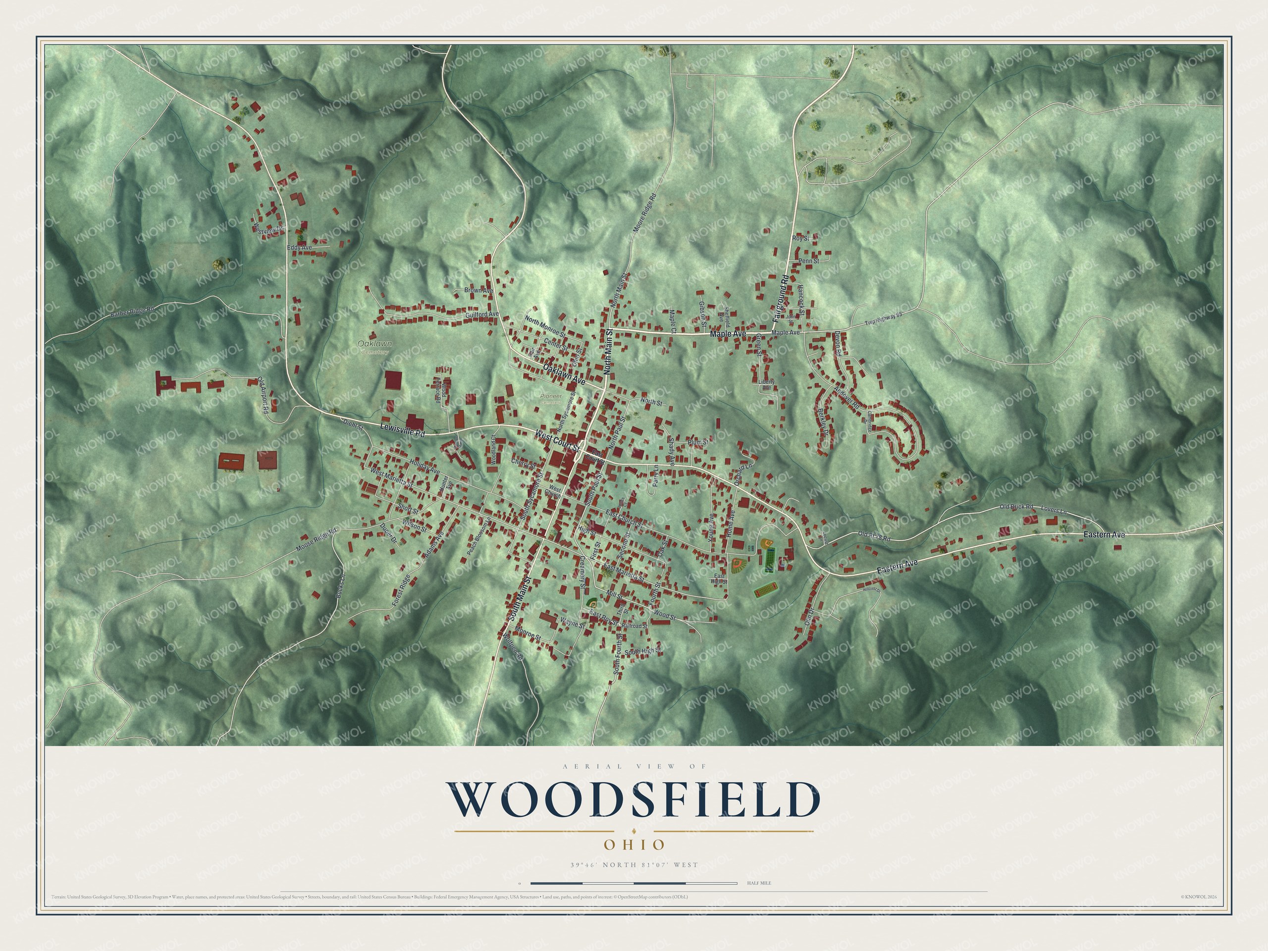
Created by KNOWOL in 2026, this print shows Woodsfield from above, with shaded green hills, pale roads and red buildings. The title panel reads Aerial View of Woodsfield, Ohio, with the coordinates 39°46' North 81°07' West.
It fits a living room, a front hall or an office wall. It's a good gift for someone who moved away and still thinks of the courthouse on Main Street. It suits a baseball fan who knows the Sad Sam Jones story, too. Open the preview and find your street. See sizes and frames for the Woodsfield map.