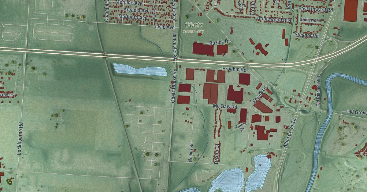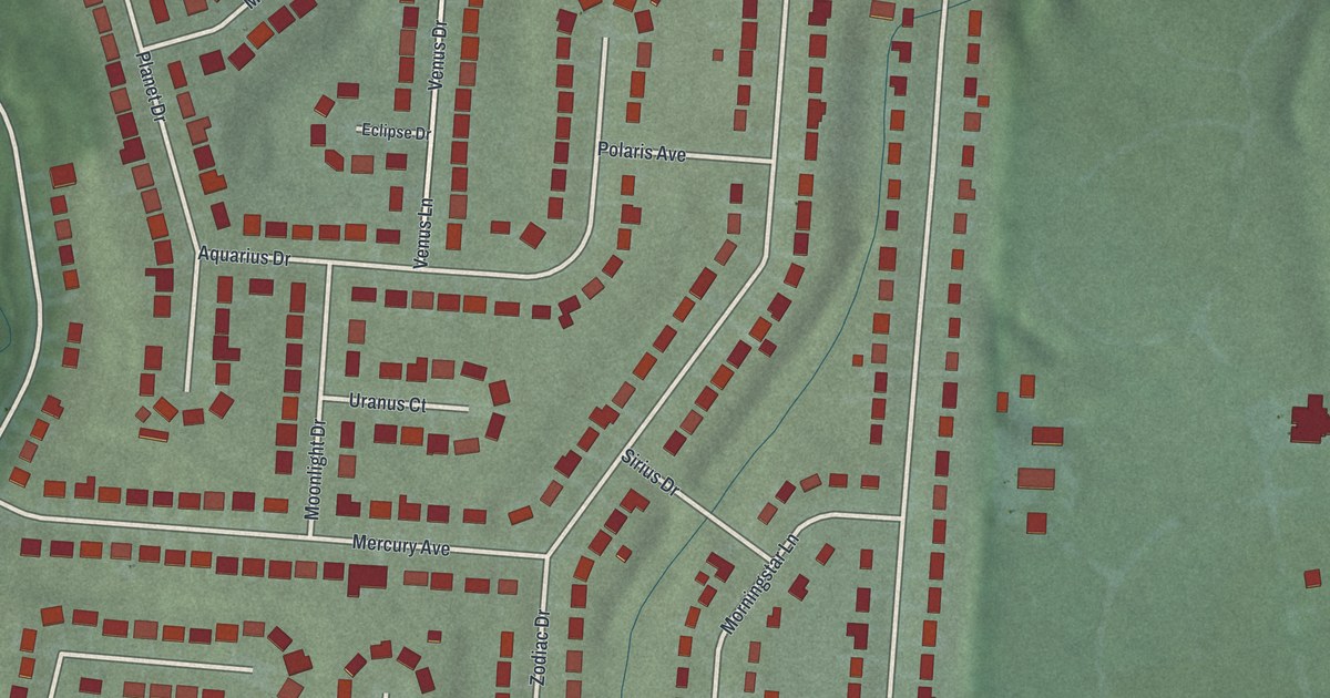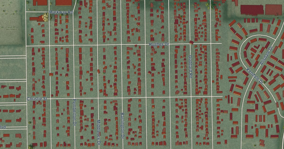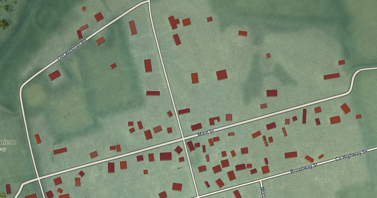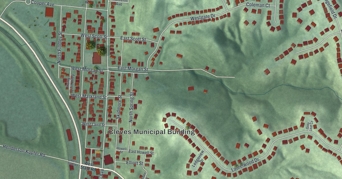
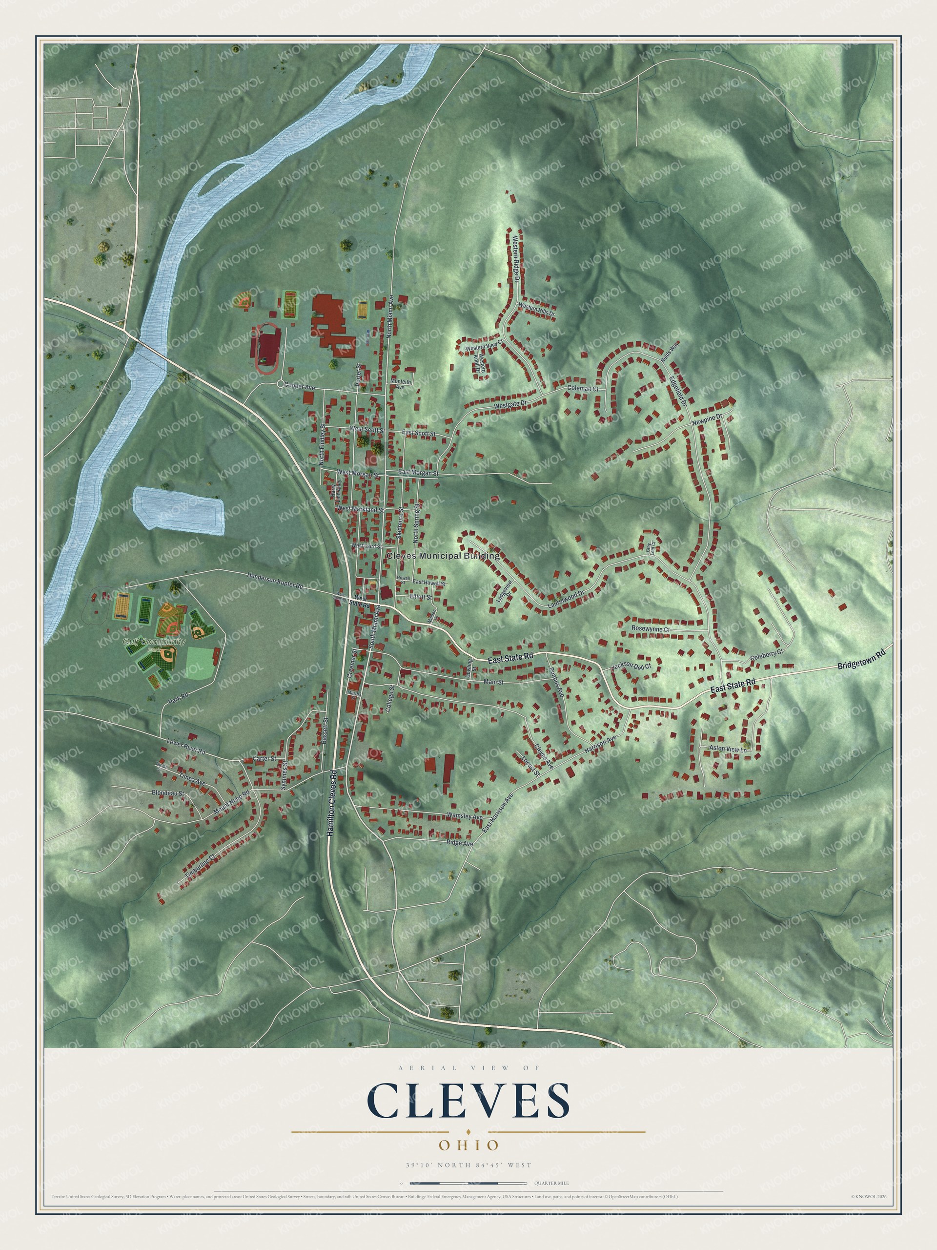
This beautifully detailed map of Cleves, Ohio was created in 2026 using aerial imagery combined with modern topographical, census, street and landmark data. It’s a one-of-a-kind view of Cleves that combines accurate data with a vintage aesthetic. The map shows every building in its true location, many of the roads carry their names, and the shaded topographic relief shows the shape of the land.
Explore an aerial view of Cleves, Ohio
On the map you’ll find Cleves Municipal Building and Gulf Community Park, along with East State Road, Hamilton Cleves Road, Bridgetown Road, South Miami Avenue, North Miami Avenue, Creemer Street, Lower River Road, Cooper Avenue, East Harrison Avenue, West Markland Street, and more. If you look closely you can even find your house accurately drawn in its correct location. Zoom in on the preview to look for yours.
Did you know this piece of Cleves, Ohio history?
Cleves was founded in 1818. It takes its name from John Cleves Symmes, who made his home here. Symmes laid out the first town site and sold its lots himself. The village lies on the land between two rivers, the Great Miami and the Ohio.
Take a closer look at the Cleves map
Street and place names on the Cleves, Ohio map
These names are printed on the map of Cleves, Ohio.
Places: Cleves Municipal Building and Gulf Community Park.
Streets and roads: East State Road, Hamilton Cleves Road, Bridgetown Road, South Miami Avenue, North Miami Avenue, Creemer Street, Lower River Road, Cooper Avenue, East Harrison Avenue, West Markland Street, Laurelwood Drive, Edgefield Drive.
More street names, A to Z
Aston View Lane, Bassett Street, Blondeau Street, Carter Street, Cleves Avenue, Coleberry Court, Coleman Court, College Street, Dowling Street, East Howell Street, East Morgan Street, East Scott Street, Elliott Street, Grey Leaf Court, Harrison Avenue, Harry Linn Alley, Henderson Kupfer Road, Howell Street, Jackson Dell Court, Ledgeview Drive, Locust Street, Maiden Lane, Main Street, Martha Street, Monteith Avenue, Mount Nebo Road, Newpine Drive, North Findley Street, North Spring Street, Park Road, Pontius Avenue, Porter Street, Reids Way, Ridge Avenue, Rosewynne Court, Skidmore Street, Symmes Street, Timberline Court, Timea Avenue, Timea Street, Wamsley Avenue, Western Hills Drive, Western Knoll Drive, Western Ridge Drive, Western View Court, Westgate Drive, West Laird Street, West Morgan Street, West Scott Street, West State Road.
See the Cleves, Ohio map on a wall
The Cleves map as an 18 x 24 inch print in a black frame.

This beautifully detailed map of Cleves makes an attractive addition to your office, library, or den, and it can even be used to teach children the geography and history of the area. It also makes a great gift for anyone who grew up in Cleves or moved away. When you’re done exploring, click here to get your copy of the Cleves map.