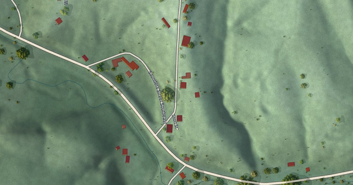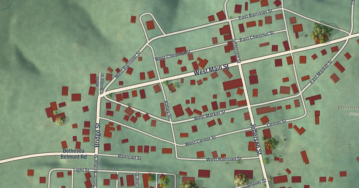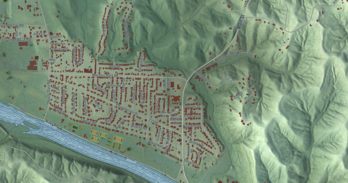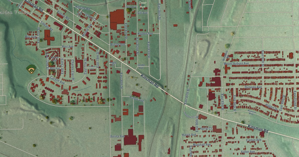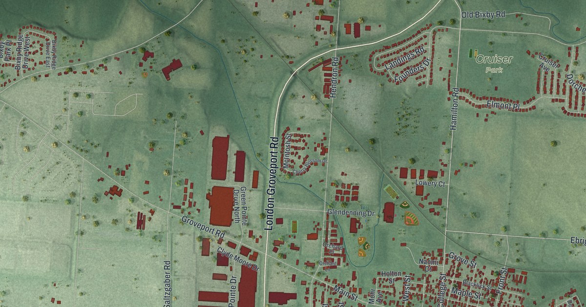
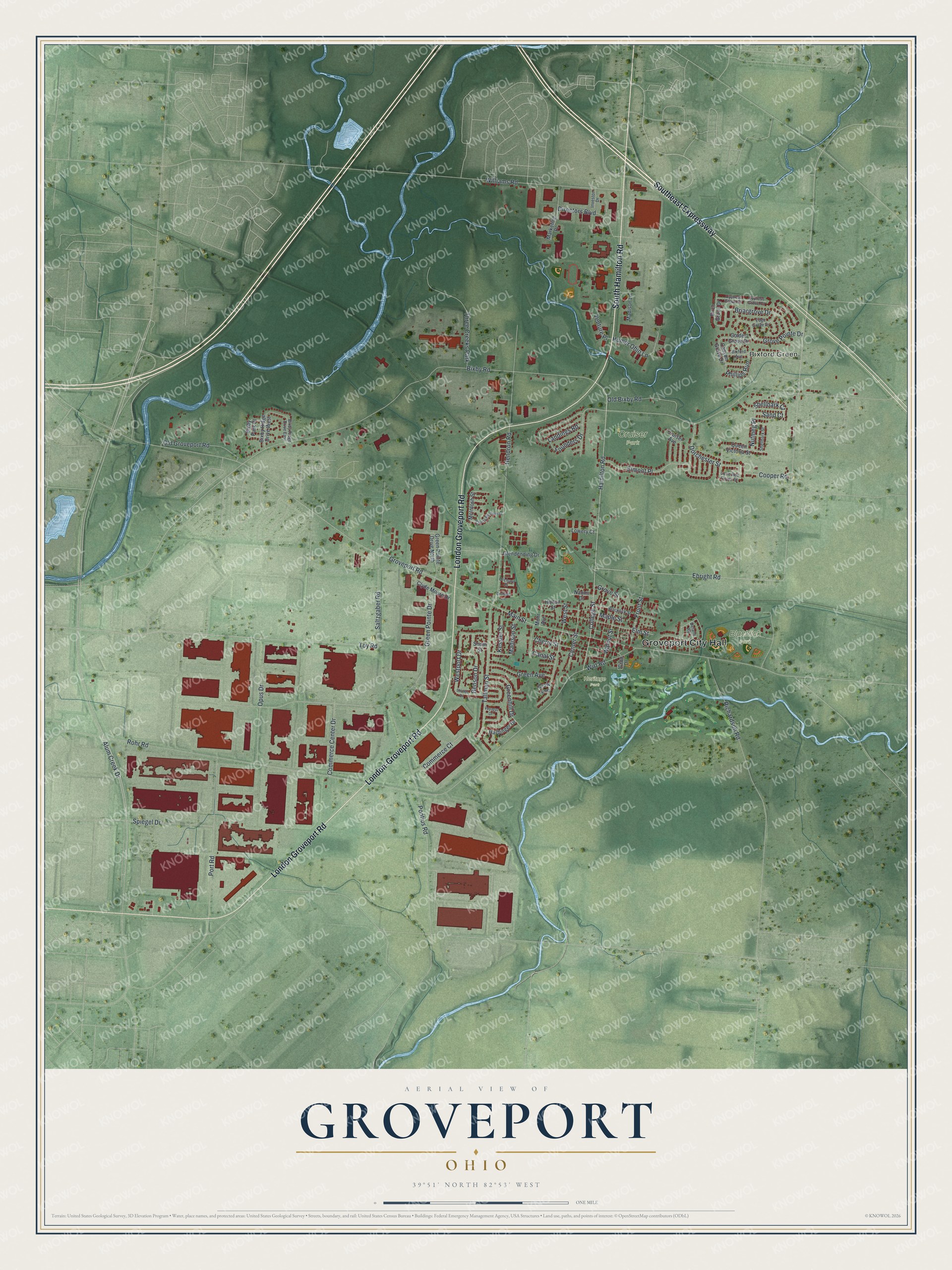
This beautifully detailed map of Groveport, Ohio was created in 2026 using aerial imagery combined with modern topographical, census, street and landmark data. It’s a one-of-a-kind view of Groveport that combines accurate data with a vintage aesthetic. The map shows every building in its true location, many of the roads carry their names, and the shaded topographic relief shows the shape of the land.
Explore an aerial view of Groveport, Ohio
On the map you’ll find Groveport City Hall, Bixford Green, Blacklick Park, Cruiser Park, and Heritage Park, along with South Hamilton Road, London Groveport Road, Southeast Expressway, Alum Creek Drive, Hamilton Road, College Street, and more. If you look closely you can even find your house accurately drawn in its correct location. Zoom in on the preview to look for yours.
Did you know this piece of Groveport, Ohio history?
Groveport began in 1846 when two rival canal towns merged. Wert’s Grove and Rarey’s Port both stood along the Ohio and Erie Canal. The new town became a village in 1847, the year its post office opened. Its oldest landmark, the Groveport Log House, dates from 1815.
Take a closer look at the Groveport map
Street and place names on the Groveport, Ohio map
These names are printed on the map of Groveport, Ohio.
Places: Groveport City Hall, Bixford Green, Blacklick Park, Cruiser Park, Heritage Park and Three Creeks Park.
Streets and roads: South Hamilton Road, London Groveport Road, London-Groveport Road, Southeast Expressway, Alum Creek Drive, Hamilton Road, College Street, Toy Road, Nutmeg Place, Ebright Road, Main Street, Shellbark Court.
More street names, A to Z
Benson Drive, Birch Grove Drive, Bixby Park Place, Bixby Ridge Drive East, Bixby Ridge Drive West, Bixby Road, Bixford Avenue, Blacklick Street, Briargrove Drive, Canal Street, Canyon Grove Drive, Center Street, Cherry Blossom Drive, Cherry Street, Clyde Moore Drive, Commerce Center Drive, Commerce Court, Cooper Road, Cron Drive, Crow Avenue, Cruiser Avenue, Cypress Grove Court, Cypress Grove Drive, Delane Road, Directors Boulevard, Dorchester Street, Edge Grove Drive, Elmont Place, Elm Street, Founders Drive, Front Street, Glendenning Drive, Golden Grove Drive, Green Avenue, Greenhill Drive, Green Pointe Drive, Green Pointe Drive North, Grove Pointe Drive, Groveport Road, Grove Street, Harbinger Drive, Hendron Road, Holton Street, Homer Ohio Lane, Investor Drive, Kessler Street, Landings Road, Little Red Rover Street, Lowery Court, Madison Lane, Madison Street, Maple Street, Marketing Place, McIntosh Street, Mohr Avenue, Naomi Court, Old Bixby Road, Old Groveport Road, Opus Drive, Orchard Lane, Orchard Place, Phillips Run, Pontius Road, Port Road, Queen Victoria Street, Richardson Road, Rohr Road, Saltzgaber Road, Sand Court, Shaffer Drive, Shellbark Street, South Street, Spiegel Drive, Tallman Street, Venture Place, Voyager Drive, Walnut Street, Westport Drive, West Street, Williams Road, Wirt Road.
See the Groveport, Ohio map on a wall
The Groveport map as an 18 x 24 inch print in a black frame.

This beautifully detailed map of Groveport makes an attractive addition to your office, library, or den, and it can even be used to teach children the geography and history of the area. It also makes a great gift for someone who left Groveport and still calls it home. When you’re done exploring, click here to get your copy of the Groveport map.