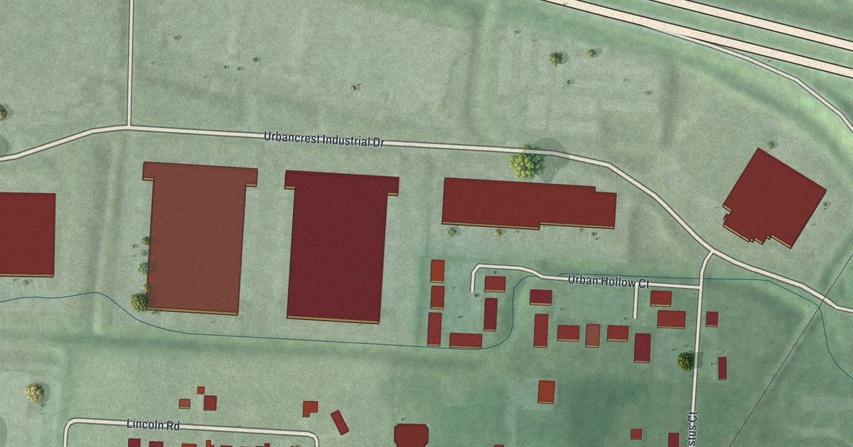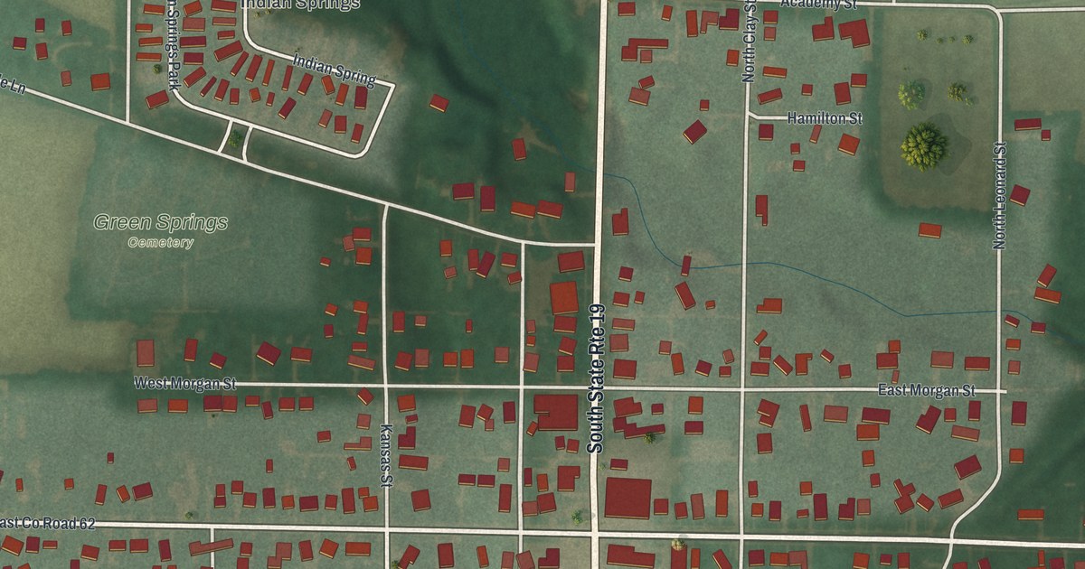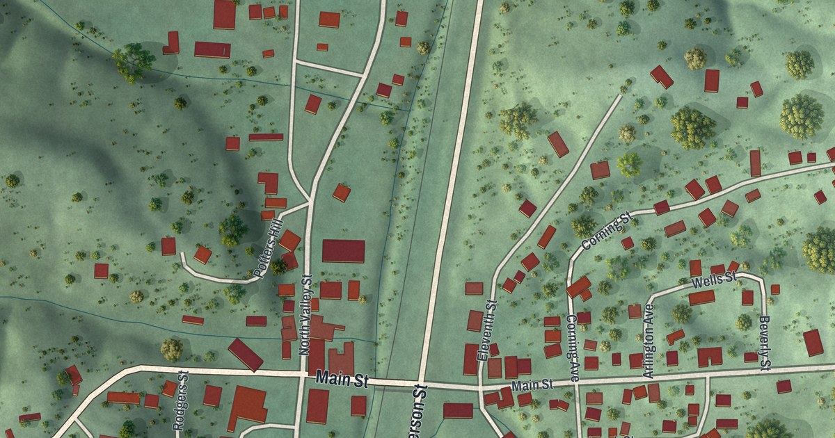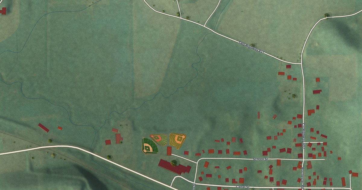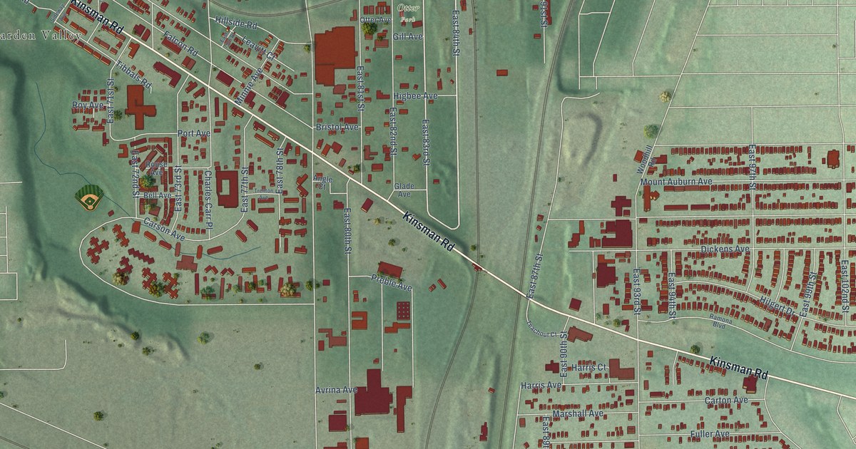
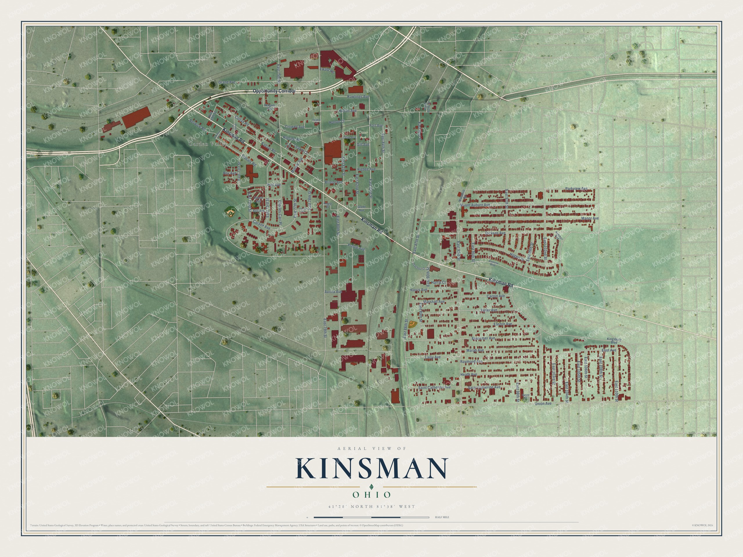
This beautifully detailed map of Kinsman, Ohio was created in 2026 using aerial imagery combined with modern topographical, census, street and landmark data. It’s a one-of-a-kind view of Kinsman that combines accurate data with a vintage aesthetic. The map shows every building in its true location, many of the roads carry their names, and the shaded topographic relief shows the shape of the land.
Explore an aerial view of Kinsman, Ohio
On the map you’ll find Otter Park, Garden Valley, and Opportunity Corridor, along with Kinsman Road, East 84th Street, East 83rd Street, East 79th Street, Bessemer Avenue, East 93rd Street, Union Avenue, Manor Avenue, Dickens Avenue, and more. If you look closely you can even find your house accurately drawn in its correct location. Zoom in on the preview to look for yours.
Did You Know?
From Internet Archive: "After graduating he taught school for a year at Kinsman, Ohio, and was also for a year principal of the Mayflower Grammar School, in Cleveland."
Kinsman is a place in Cuyahoga County.
Take a closer look at the Kinsman map
Names on this map
These names are printed on this map.
Places: Otter Park and Garden Valley.
Streets and roads: Opportunity Corridor, Kinsman Road, East 84th Street, East 83rd Street, East 79th Street, Bessemer Avenue, East 93rd Street, Union Avenue, Manor Avenue, Dickens Avenue, East 102nd Street, East 75th Street.
More street names, A to Z
Angle Court, Audubon Boulevard, Avrina Avenue, Bell Avenue, Berwick Road, Bristol Avenue, Carson Avenue, Carton Avenue, Charles Carr Place, Colfax Road, Crowell Avenue, East 69th Street, East 70th Street, East 71st Street, East 72nd Street, East 73rd Street, East 75th Place, East 77th Street, East 78th Street, East 80th Street, East 81st Street, East 82nd Street, East 87th Street, East 88th Street, East 89th Street, East 90th Street, East 91st Street, East 92nd Street, East 94th Street, East 97th Street, East 98th Street, East 99th Street, East 103rd Street, East 104th Street, East 105th Street, East 106th Street, East 108th Street, East 110th Street, Easton Avenue, Eliot Avenue, Ewald Road, Falcon Road, Fort Avenue, Fuller Avenue, Gill Avenue, Glade Avenue, Grand Avenue, Hanne Court, Harris Avenue, Harris Court, Heath Avenue, Higbee Avenue, Hilgert Drive, Hillside Road, Holton Avenue, Holton Court, Kingsbury Boulevard, Laisy Avenue, Leavitt Court, Marah Avenue, Marshall Avenue, Minnie Avenue, Mount Auburn Avenue, Otter Avenue, Parkview Avenue, Port Avenue, Preble Avenue, Ramona Boulevard, Rawlings Avenue, Raymond Avenue, Rouse Avenue, Roy Avenue, Saint Catherine Avenue, Sideway Avenue, Teachout Court, Tibbals Road, Trenton Avenue, Wagner Avenue, Woodhill Road, Yeakel Court.
See it on a wall
The Kinsman map as a framed print. Swipe for more.


This beautifully detailed map of Kinsman makes an attractive addition to your office, library, or den, and it can even be used to teach children the geography and history of the area. It also makes a great gift for anyone who grew up in Kinsman or moved away. When you’re done exploring, click here to get your copy of the Kinsman map.