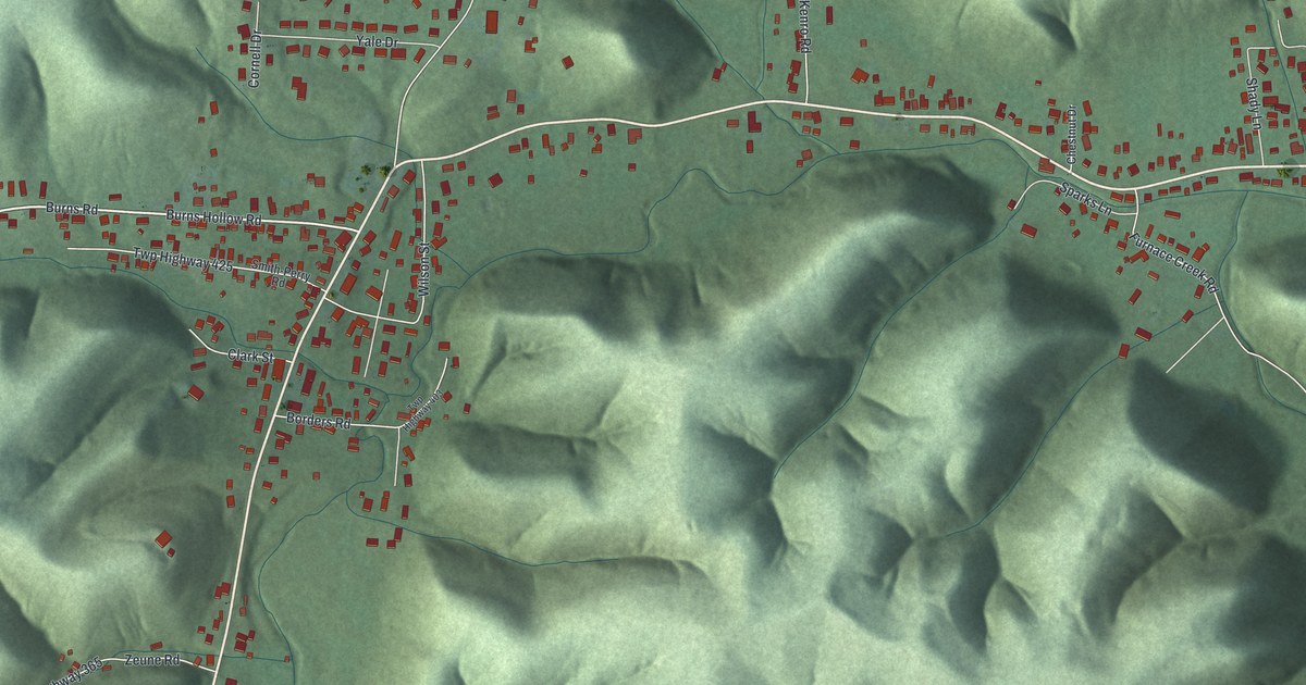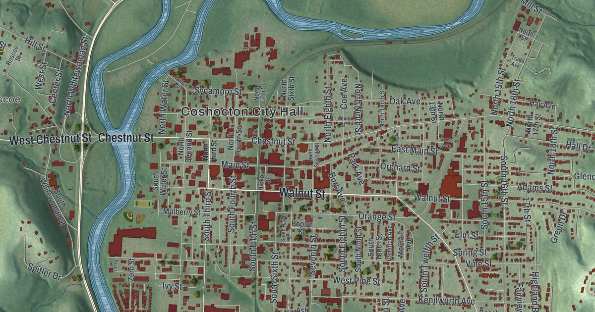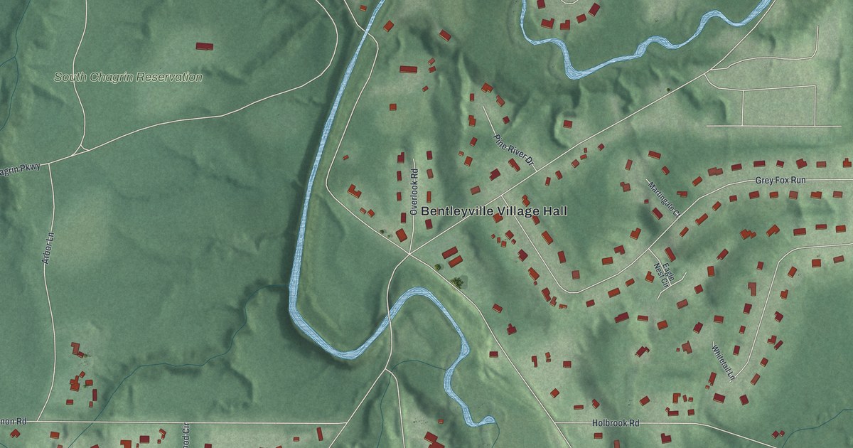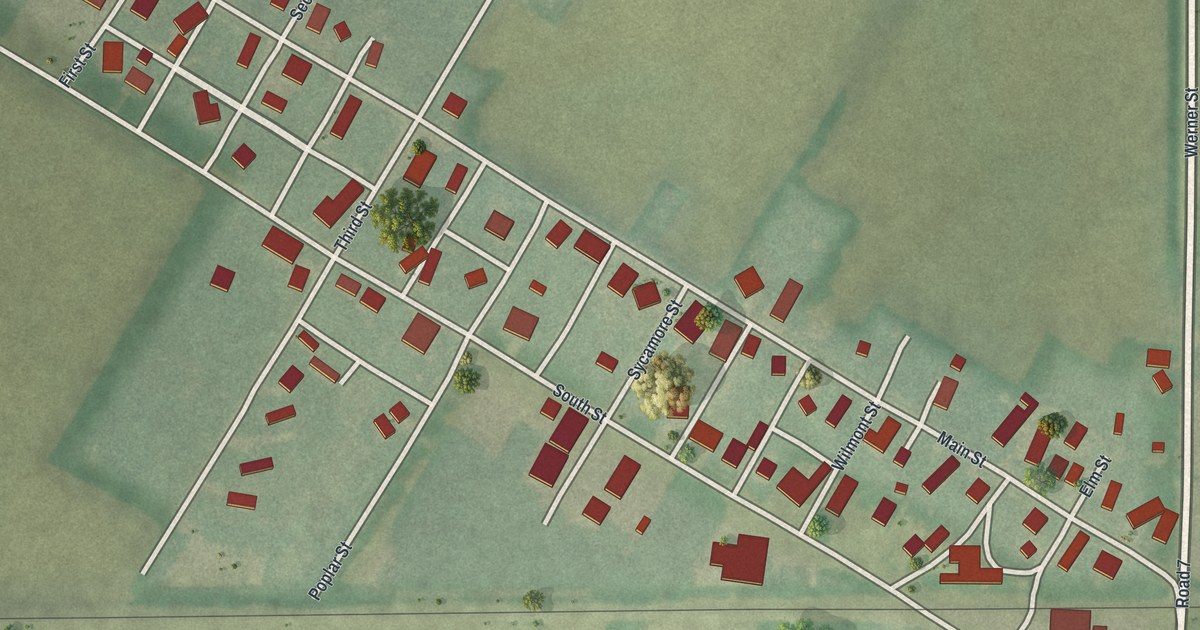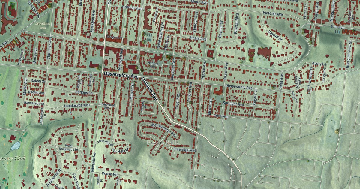
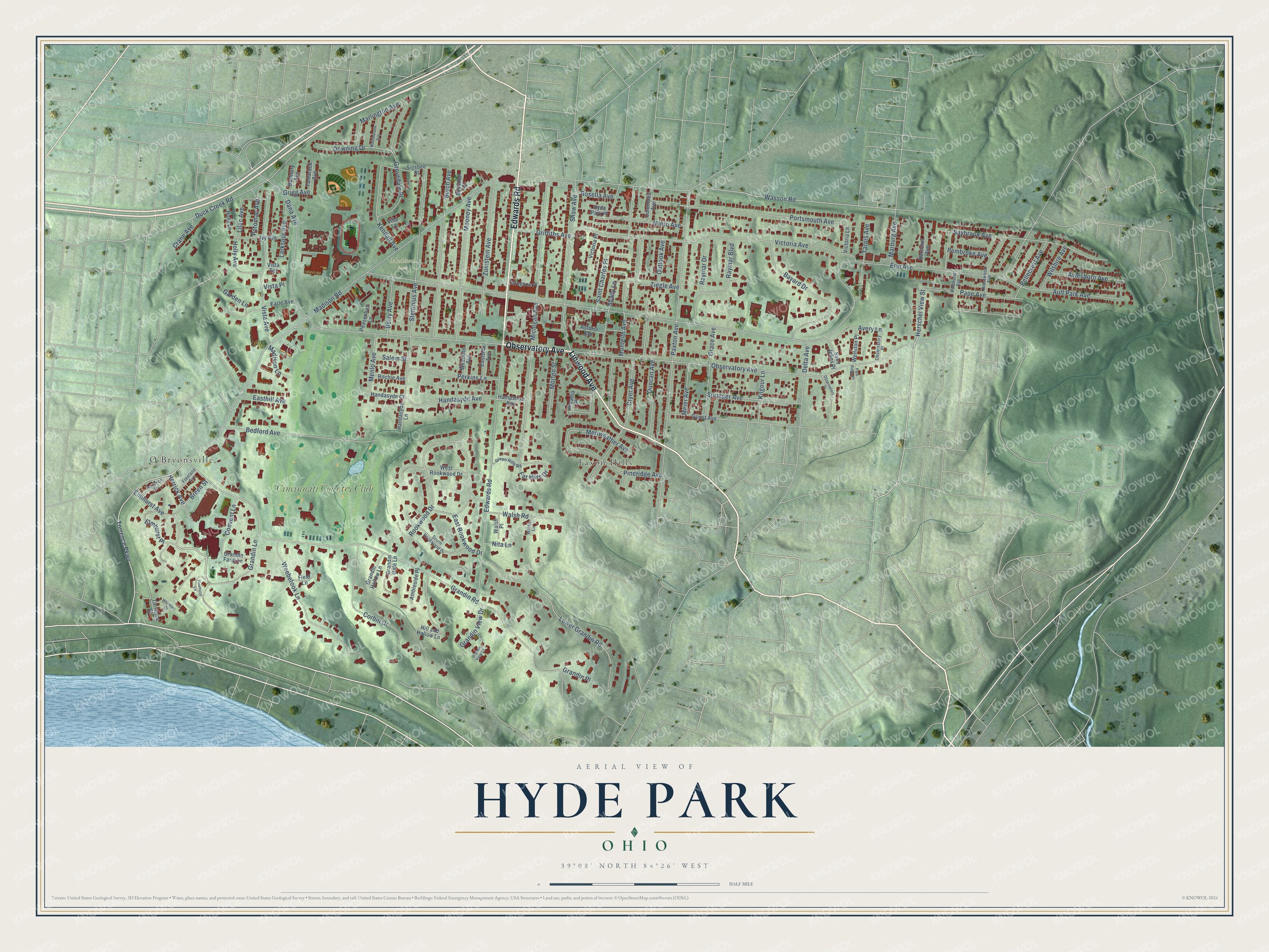
This beautifully detailed map of Hyde Park, Ohio was created in 2026 using aerial imagery combined with modern topographical, census, street and landmark data. It’s a one-of-a-kind view of Hyde Park that combines accurate data with a vintage aesthetic. The map shows every building in its true location, many of the roads carry their names, and the shaded topographic relief shows the shape of the land.
Explore an aerial view of Hyde Park, Ohio
On the map you’ll find Madison Park, O’Bryonsville, Faxon Hills, Cincinnati Country Club, and Elmhurst Place, along with Edwards Road, Linwood Avenue, Observatory Avenue, Grandin Lane, Torrence Parkway, Herschel View Street, Grandin Road, and more. If you look closely you can even find your house accurately drawn in its correct location. Zoom in on the preview to look for yours.
Did You Know?
From Internet Archive: "Even yet Hyde Park is a separated settlement, and a dozen or more villages stand out as distinctly by themselves as ever they did."
Hyde Park is a place in Hamilton County.
Take a closer look at the Hyde Park map
Names on this map
These names are printed on this map.
Places: Madison Park, O'Bryonsville, Faxon Hills and Cincinnati Country Club.
Streets and roads: Edwards Road, Linwood Avenue, Observatory Avenue, Grandin Lane, Elmhurst Place, Torrence Parkway, Herschel View Street, Grandin Road, Wasson Road, Handasyde Avenue, Erie Avenue, Madison Road.
More street names, A to Z
Ambleside Place, Arcadia Place, Astoria Avenue, Ault Park Avenue, Avery Lane, Aylesboro Avenue, Barberry Avenue, Bayard Drive, Bedford Avenue, Bellecrest Avenue, Berry Avenue, Besuden Court, Breen Street, Brentwood Avenue, Burch Avenue, Columbus Avenue, Convent Lane, Corbin Drive, Crane Avenue, Cryer Avenue, Dana Avenue, Delta Avenue, Downing Drive, Duck Creek Road, Duncan Avenue, Earle Avenue, Easthill Avenue, East Rookwood Drive, Eastside Avenue, Elmhurst Avenue, Far Hills Drive, Field Lane, Freeland Avenue, Garden Lane, Grace Avenue, Grandin Farm Lane, Grandin Gate Lane, Grandin Hollow Lane, Grandin Place, Grandin View Drive, Grandin View Lane, Green Hills Road, Gregson Place, Griest Avenue, Griffiths Avenue, Grigg Avenue, Grovedale Place, Hampshire Avenue, Handasyde Court, Handasyde Lane, Herrick Avenue, Herschel Avenue, Hill and Hollow Lane, Holly Avenue, Holly Lane, Hyde Park Place, Ivy Avenue, Kendall Avenue, Kilgour Lane, Larkspur Avenue, Lilac Avenue, Lower Grandin Road, Madison Lane, Marburg Avenue, Marlington Avenue, Meier Avenue, Menlo Avenue, Meriweather Avenue, Michigan Avenue, Middlebrook Avenue, Minto Avenue, Monteith Avenue, Mooney Avenue, Morten Street, Nita Lane, Observatory Drive, Observatory Place, Outlook Avenue, Pape Avenue, Park Ridge Place, Paxton Avenue, Peasenhall Lane, Pembroke Avenue, Perkins Lane, Pinehurst Avenue, Pinehurst Lane, Pineridge Avenue, Portsmouth Avenue, Potomac Avenue, Raymar Boulevard, Raymar Drive, Ritchie Avenue, Rookwood Drive, Rosella Avenue, Saint Charles Place, Saint Johns Place, Salem Street, Saybrook Avenue, Shady Lane, Shaw Avenue, Sigsbee Street, South Rookwood Drive, Springer Avenue, Stettinius Avenue, Tamarack Avenue, Tarpis Avenue, Torrence Court, Torrence Lane, Victoria Avenue, Victoria Lane, Victoria Place, Villa Lane, Vista Avenue, Vista Place, Vista Terrace, Walsh Lane, Walsh Place, Walsh Road, Weebetook Lane, Wellston Place, West Rookwood Drive, Westside Avenue, Whitman Court, Wilshire Avenue, Ziegle Avenue, Zumstein Avenue.
See it on a wall
The Hyde Park map as a framed print. Swipe for more.


This beautifully detailed map of Hyde Park makes an attractive addition to your office, library, or den, and it can even be used to teach children the geography and history of the area. It also makes a great gift for anyone with Hyde Park roots. When you’re done exploring, click here to get your copy of the Hyde Park map.