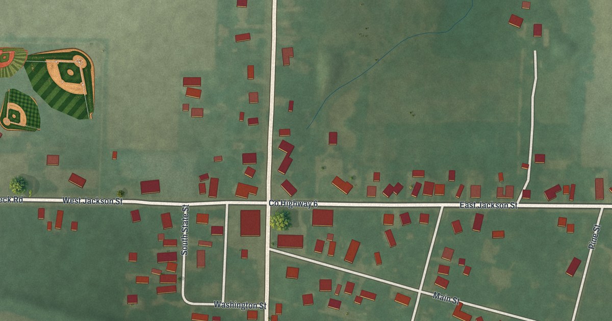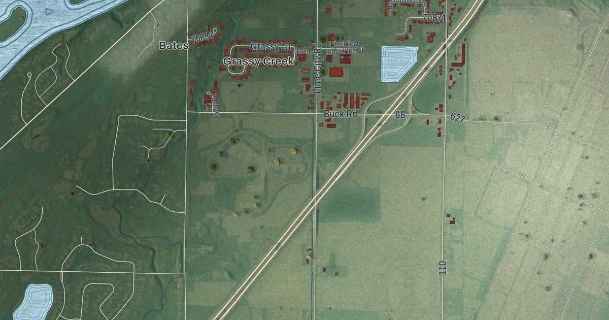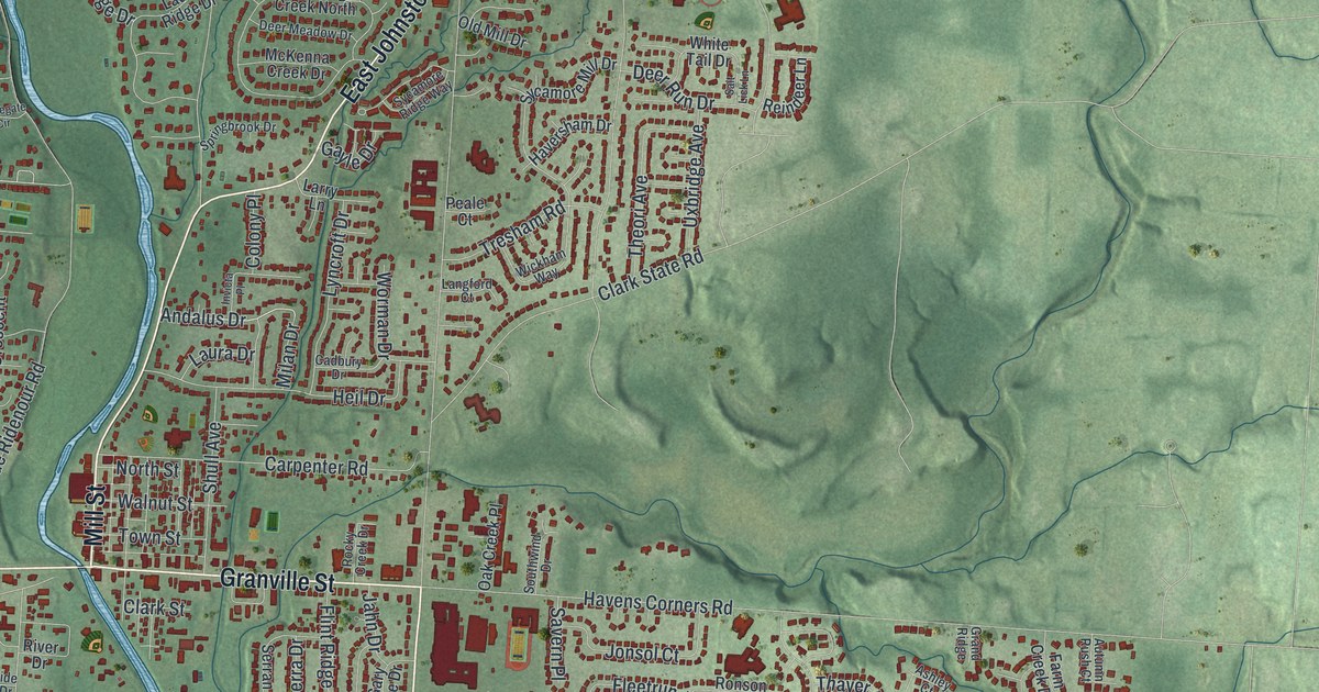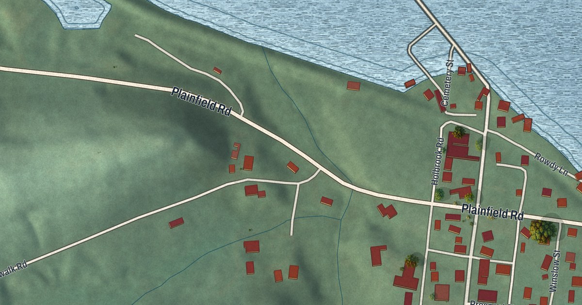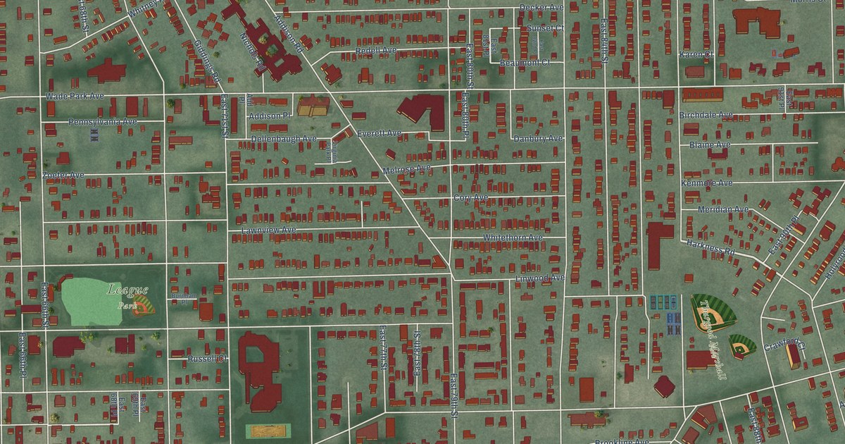
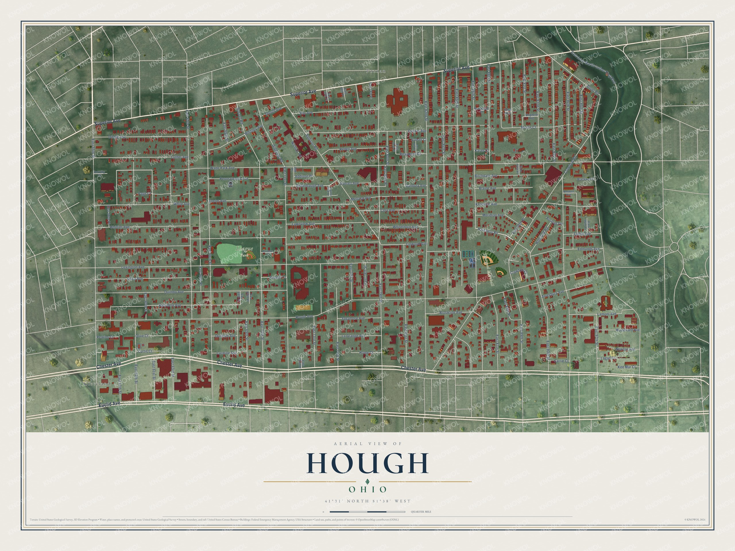
This beautifully detailed map of Hough, Ohio was created in 2026 using aerial imagery combined with modern topographical, census, street and landmark data. It’s a one-of-a-kind view of Hough that combines accurate data with a vintage aesthetic. The map shows every building in its true location, many of the roads carry their names, and the shaded topographic relief shows the shape of the land.
Explore an aerial view of Hough, Ohio
On the map you’ll find Thurgood Marshall Park, League Park, Cleveland, and Poznan, along with Chester Avenue, Superior Avenue, Euclid Avenue, Harkness Road, Wade Park Avenue, Belvidere Avenue, Hough Avenue, Linwood Avenue, and more. If you look closely you can even find your house accurately drawn in its correct location. Zoom in on the preview to look for yours.
Did You Know?
From the 1908 20th Century History of Delaware County, Ohio: "Johnson Pelton and Sylvester Hough came into this township in 1812, and settled just south of Galena."
Hough is a place in Cuyahoga County.
Take a closer look at the Hough map
Names on this map
These names are printed on this map.
Places: Thurgood Marshall Park, League Park, Cleveland and Poznan.
Streets and roads: Chester Avenue, Superior Avenue, Euclid Avenue, Harkness Road, Wade Park Avenue, Belvidere Avenue, Hough Avenue, Linwood Avenue, East 93rd Street, East 82nd Street, East 66th Street, East 65th Street.
More street names, A to Z
Addison Place, Addison Road, Add Place, Amesbury Avenue, Amwell Avenue, Ansel Road, Beaumont Court, Birchdale Avenue, Blackwell Court, Blaine Avenue, Brookdale Court, Brookline Avenue, Burnham Place, Carrie Court, Cory Avenue, Crawford Court, Crawford Road, Curtis Court, Danbury Avenue, Decker Avenue, Dellenbaugh Avenue, Dibble Avenue, Dorothy Court, Duluth Avenue, Dunham Avenue, East 55th Street, East 56th Place, East 57th Street, East 59th Street, East 60th Street, East 61st Street, East 63rd Street, East 66th Place, East 68th Place, East 68th Street, East 69th Place, East 69th Street, East 70th Street, East 71st Street, East 72nd Place, East 73rd Street, East 75th Place, East 75th Street, East 76th Place, East 77th Street, East 78th Place, East 78th Street, East 79th Street, East 80th Place, East 80th Street, East 81st Place, East 81st Street, East 82nd Place, East 84th Street, East 85th Street, East 86th Street, East 87th Street, East 88th Place, East 88th Street, East 89th Street, East 90th Place, East 90th Street, East 91st Place, East 91st Street, East 92nd Street, East 94th Street, East 95th Street, East 96th Place, East 97th Street, East Drive Martin Luther King Boulevard, Edmunds Avenue, Ethel Avenue, Everett Avenue, Giddings Road, Holyrood Road, Home Court, Karen Court, Kee Mar Court, Kenmore Avenue, La Grange Avenue, Lamont Avenue, Lawnview Avenue, Lexington Avenue, Logan Court, Lucerne Avenue, Luther Avenue, Melrose Avenue, Meridian Avenue, Morris Court, Newton Avenue, Nichols Road, Olive Court, Page Court, Pennsylvania Avenue, Perkins Court, Quimby Avenue, Redell Avenue, Rosalind Avenue, Russell Court, Russell Road, Sagamore Avenue, Shipherd Avenue, Star Avenue, Sunset Court, Talbot Avenue, Utica Avenue, Virginia Park Place, White Avenue, Whitethorn Avenue, Whitney Avenue, Whittier Avenue, Woodward Avenue, Zoeter Avenue.
See it on a wall
The Hough map as a framed print. Swipe for more.


This beautifully detailed map of Hough makes an attractive addition to your office, library, or den, and it can even be used to teach children the geography and history of the area. It also makes a great gift for anyone with Hough roots. When you’re done exploring, click here to get your copy of the Hough map.