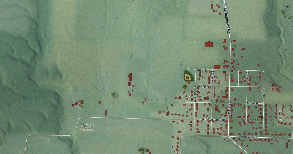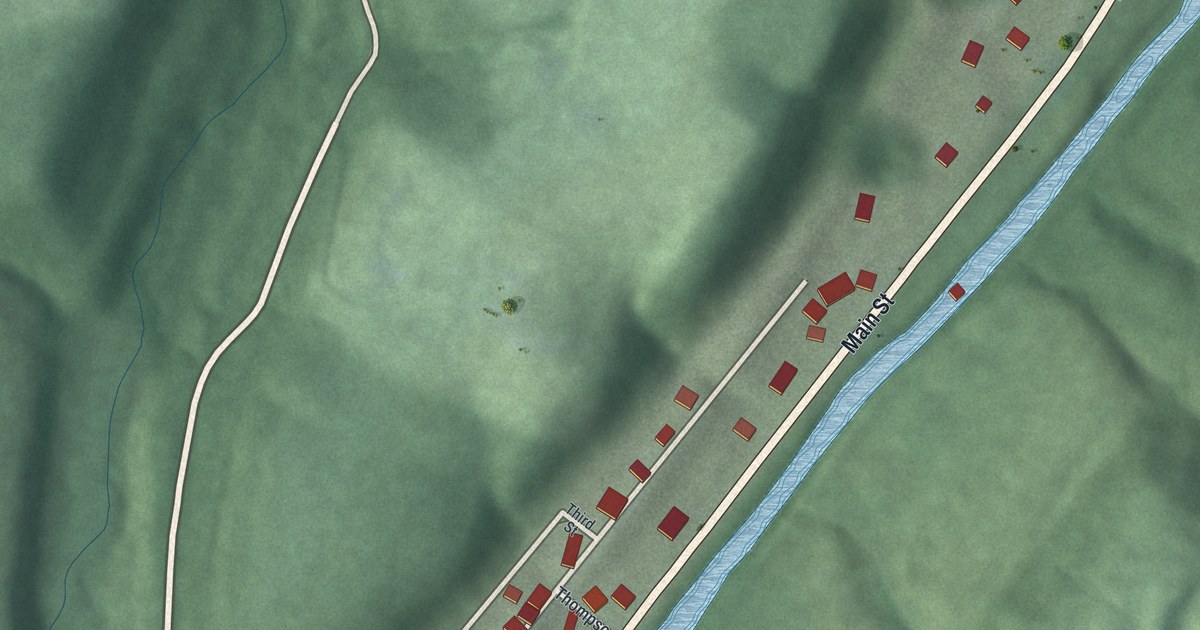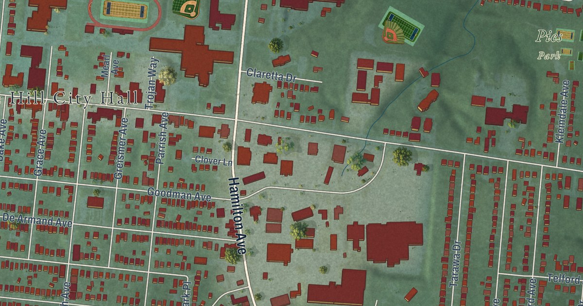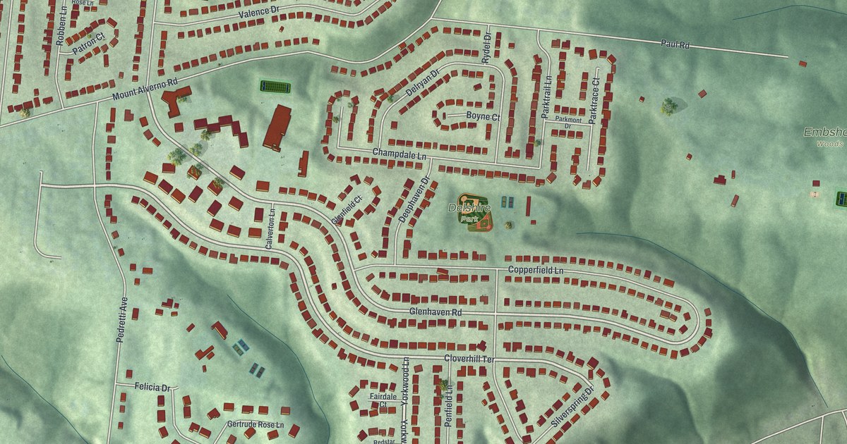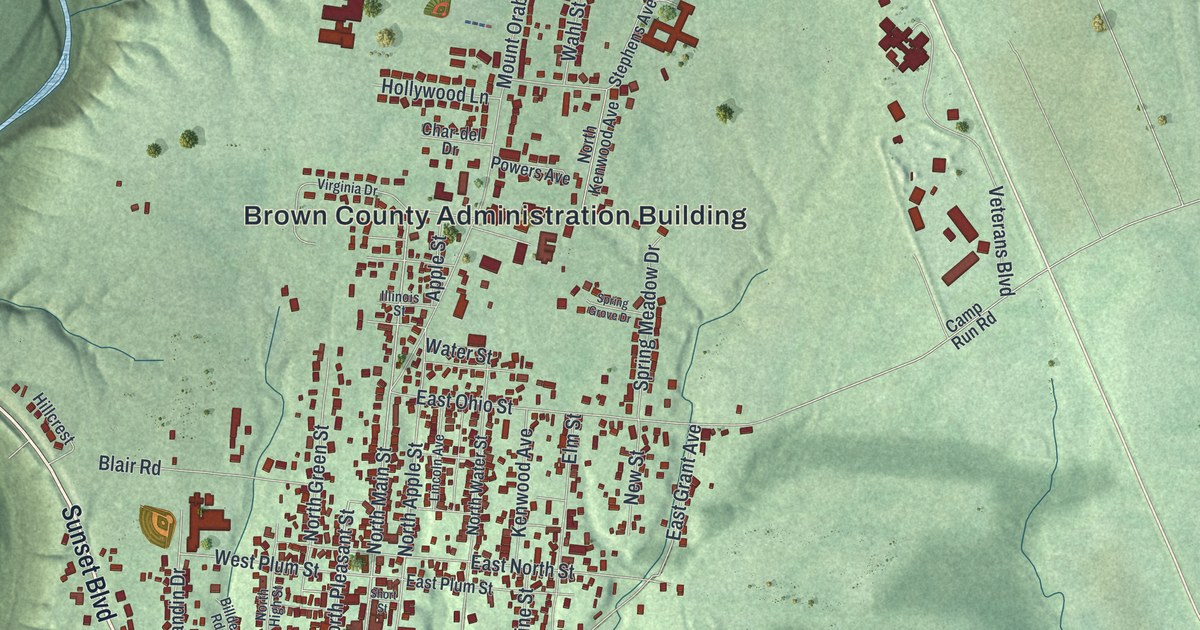
This beautifully detailed map of Georgetown, Ohio was created in 2026 using aerial imagery combined with modern topographical, census, street and landmark data. It’s a one-of-a-kind view of Georgetown that combines accurate data with a vintage aesthetic. The map shows every building in its true location, many of the roads carry their names, and the shaded topographic relief shows the shape of the land.
Explore an aerial view of Georgetown, Ohio
On the map you’ll find Brown County Administration Building and Confidence Cemetery, along with West State Street, Sunset Boulevard, Arnheim-Day Hill Road, East State Street, South High Street, West Grant Avenue, South Main Street, South Pleasant Street, North Main Street, and more. If you look closely you can even find your house accurately drawn in its correct location. Zoom in on the preview to look for yours.
Did you know this piece of Georgetown, Ohio history?
Ulysses S. Grant grew up in Georgetown. His parents, Jesse and Hannah Grant, built a brick house there in 1823. The family moved in when he was 16 months old. He lived there until 1839, when he left for West Point. No other home was his for as long.
Take a closer look at the Georgetown map
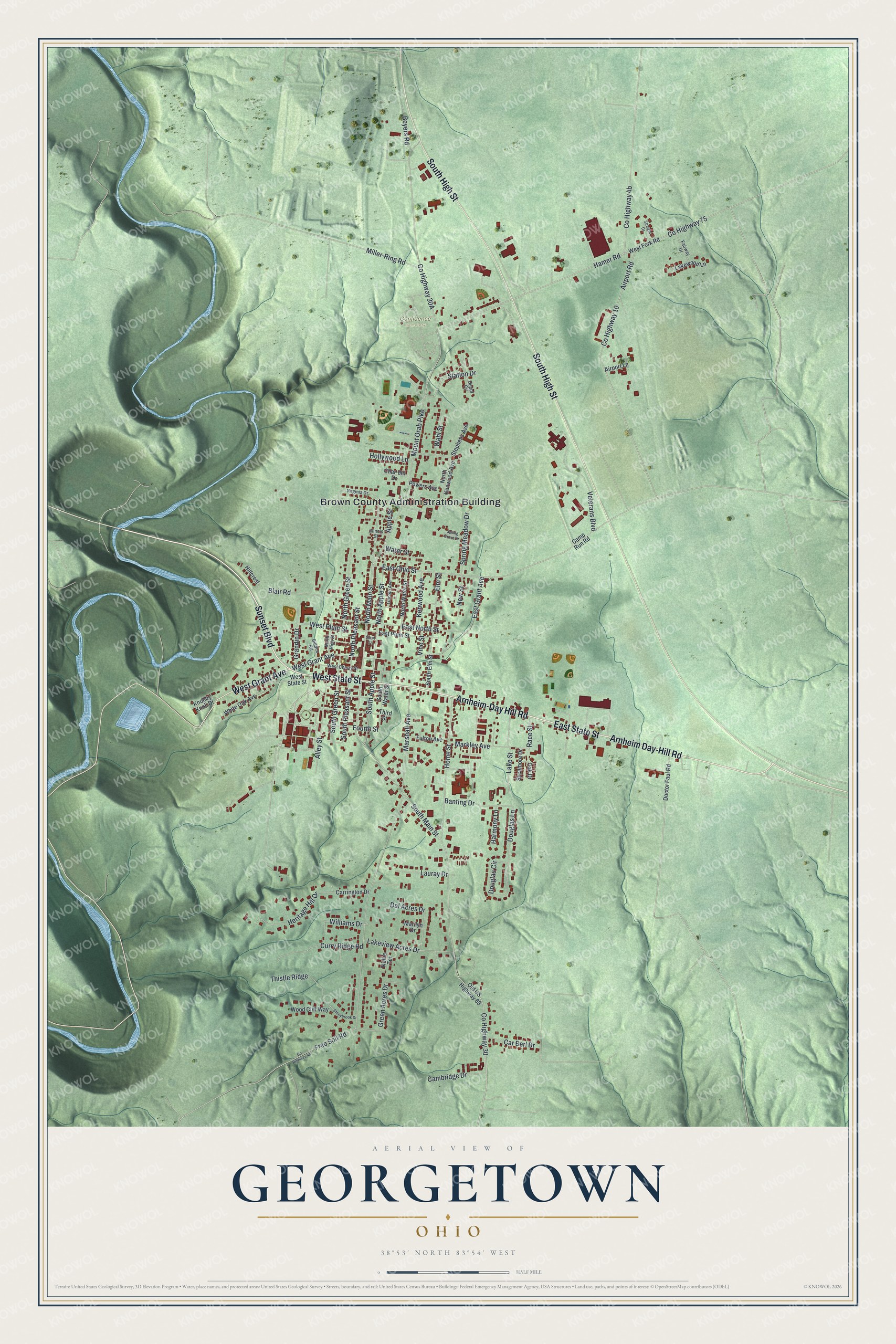
Street and place names on the Georgetown, Ohio map
These names are printed on the map of Georgetown, Ohio.
Places: Brown County Administration Building and Confidence Cemetery.
Streets and roads: West State Street, Sunset Boulevard, Arnheim-Day Hill Road, Arnheim Day-Hill Road, East State Street, South High Street, West Grant Avenue, South Main Street, South Pleasant Street, North Main Street, North Pleasant Street, Fourth Street.
More street names, A to Z
Airport Lane, Airport Road, Alley Street, Apple Street, Banting Drive, Beyers Road, Billdee Road, Blair Road, Cambridge Drive, Camp Run Road, Car Berl Drive, Carrington Drive, Char-del Drive, County Highway 10, County Highway 30, County Highway 75, Curry Ridge Road, Del Acres Drive, Depot Circle, Doctor Faul Road, Douglas Circle, Douglas Lane, East Grant Avenue, East North Street, East Ohio Street, East Plum Street, Elm Street, Fairway Drive, Free Soil Road, Fulton Avenue, Grandin Drive, Green Acres Drive, Hamer Road, Harmony Lane, Heritage Hill Drive, Hillcrest, Hollywood Lane, Home Street, Illinois Street, Kellie Terrace, Kenwood Avenue, Knobby Knoll Drive, Lake Street, Lakeview Acres Drive, Lakewood Lane, Lauray Drive, Lincoln Avenue, Marilyn Drive, Markley Avenue, Marshall Avenue, Miller-Ring Road, Mount Orab Pike, New Street, North Apple Street, North Green Street, North High Street, North Kenwood Avenue, North Water Street, Oak Drive, Old US Highway 68, Powers Avenue, Race Street, Short Street, South Apple Street, South Elm Street, South Green Street, South Water Street, Spring Grove Drive, Spring Meadow Drive, Station Drive, Stephens Avenue, Stonybrook Drive, Straight Drive, Sycamore Drive, Third Street, Thistle Ridge, Veterans Boulevard, Vine Street, Virginia Drive, Wahl Street, Water Street, West Cherry Street, West Fork Road, West Plum Street, White Oak Avenue, Williams Drive, Wood Cliff Way.
See the Georgetown, Ohio map on a wall
The Georgetown map as an 18 x 24 inch print in a black frame.

This beautifully detailed map of Georgetown makes an attractive addition to your office, library, or den, and it can even be used to teach children the geography and history of the area. It also makes a great gift for anyone who grew up in Georgetown or moved away. When you’re done exploring, click here to get your copy of the Georgetown map.