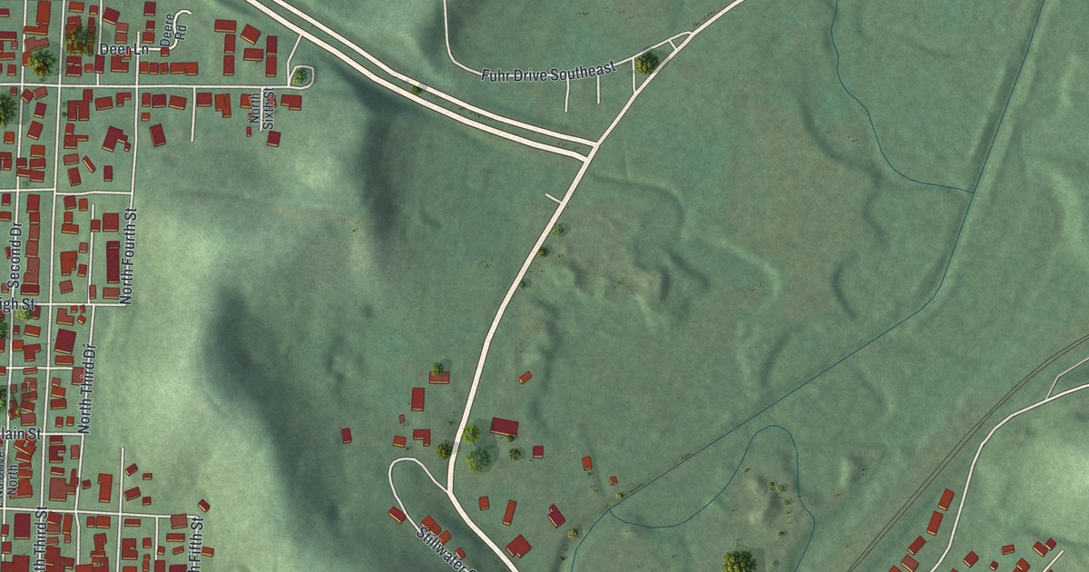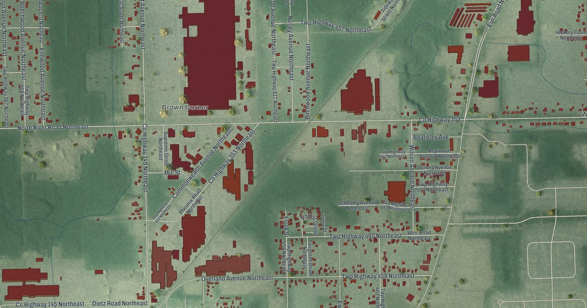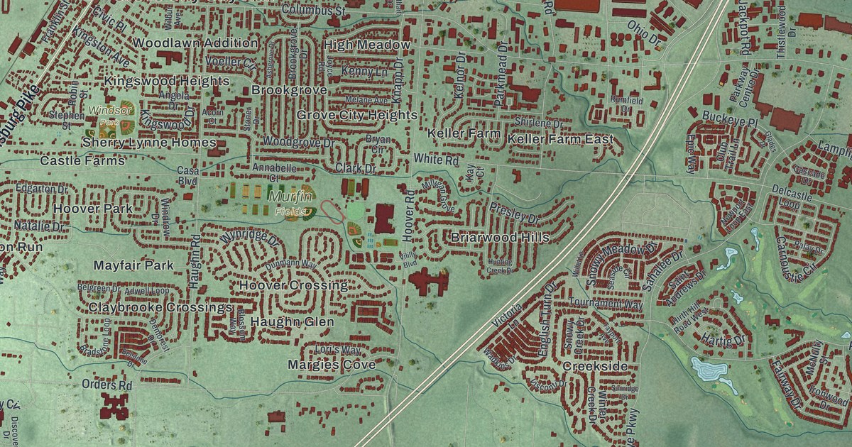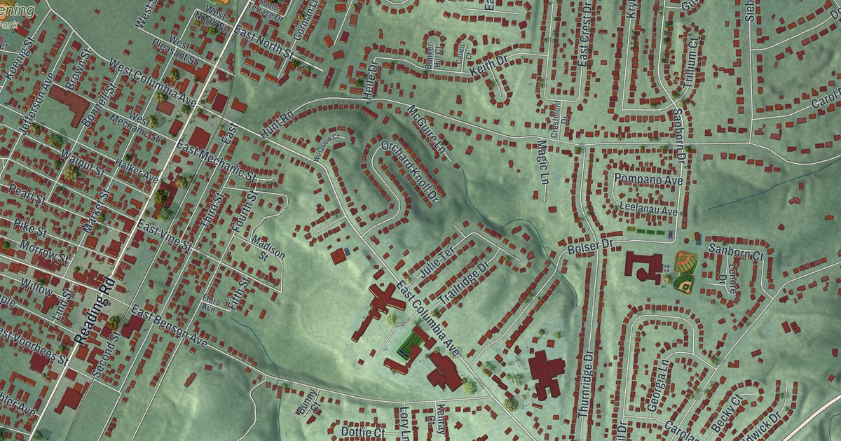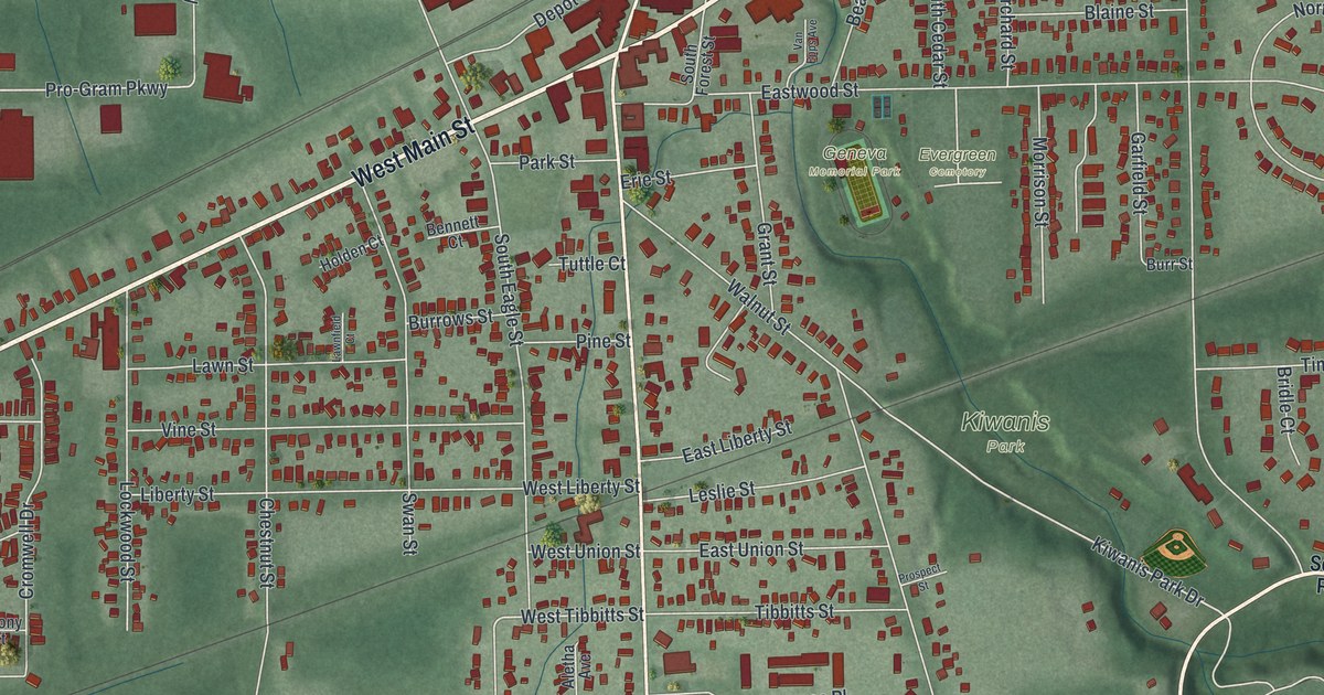
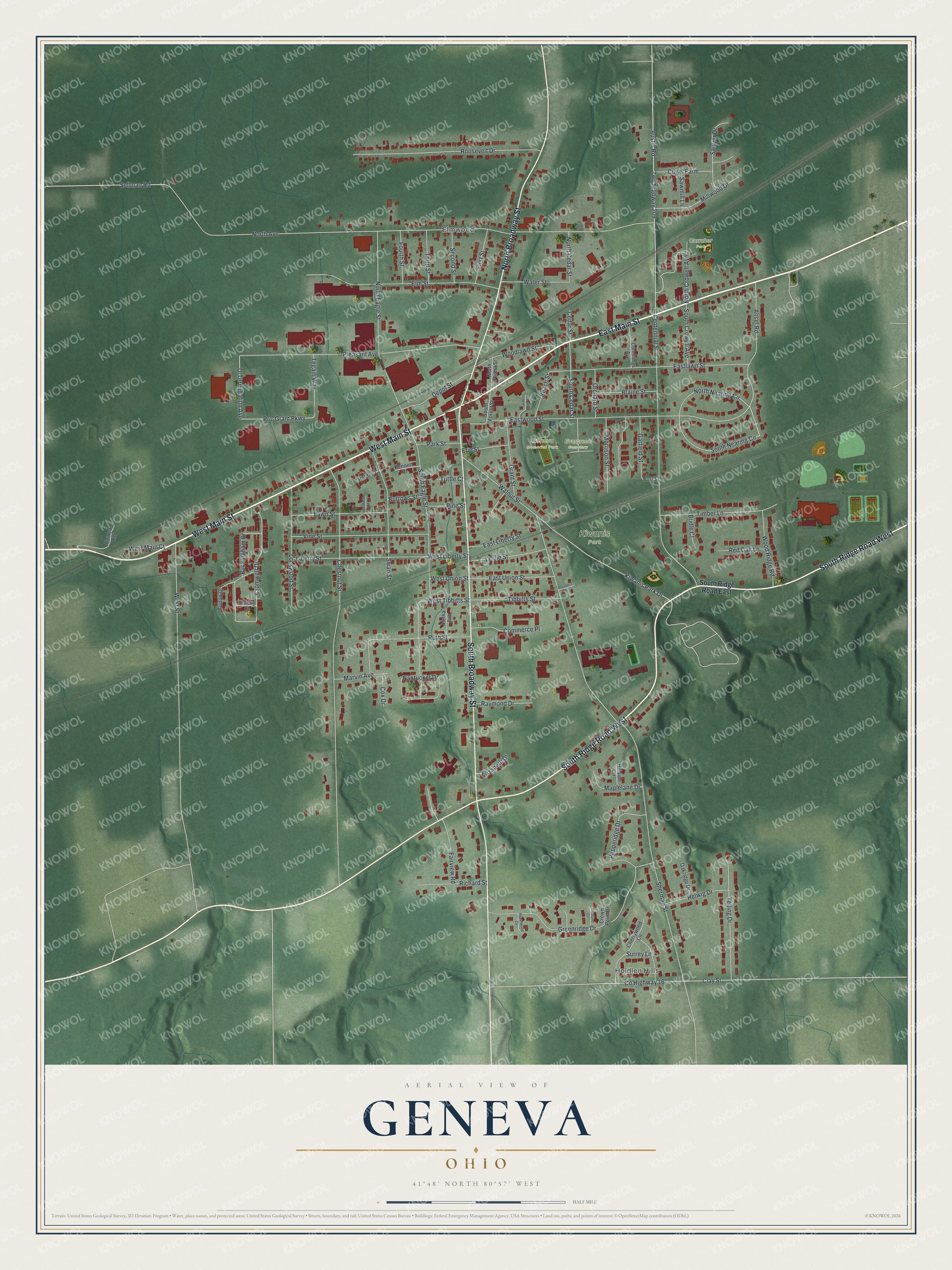
This beautifully detailed map of Geneva, Ohio was created in 2026 using aerial imagery combined with modern topographical, census, street and landmark data. It’s a one-of-a-kind view of Geneva that combines accurate data with a vintage aesthetic. The map shows every building in its true location, many of the roads carry their names, and the shaded topographic relief shows the shape of the land.
Explore an aerial view of Geneva, Ohio
On the map you’ll find Holdlen Hills, Elmwood, Kiwanis Park, Evergreen Cemetery, Geneva Memorial Park, and Carraher Park, along with East Main Street, West Main Street, South Ridge Road West, South Broadway Street, North Broadway Street, Pro-Gram Parkway, and more. If you look closely you can even find your house accurately drawn in its correct location. Zoom in on the preview to look for yours.
Did you know this piece of Geneva, Ohio history?
On April 12, 1966, Geneva marked its 100th anniversary by claiming ownership of the moon. More than 200 people attended the ceremony at the high school. The Declaration of Lunar Ownership carried 35 signatures. It offered deeds to 100 acres of moon land, each acre priced at 100 dollars.
Take a closer look at the Geneva map
Street and place names on the Geneva, Ohio map
These names are printed on the map of Geneva, Ohio.
Places: Holdlen Hills, Elmwood, Kiwanis Park, Evergreen Cemetery, Geneva Memorial Park and Carraher Park.
Streets and roads: East Main Street, West Main Street, South Ridge Road West, South Broadway Street, North Broadway Street, Pro-Gram Parkway, D-Termination Avenue, Austin Road, Kiwanis Park Drive, West Tibbitts Street, North Avenue, Sherman Street.
More street names, A to Z
Aletha Avenue, Ansel Road, Beach Street, Bennett Court, Blaine Street, Bridle Court, Britton Drive, Buckingham Drive, Burrows Street, Burr Street, Cedar Street, Centennial Street, Cherrywood Circle, Chestnut Street, Clay Street, Colony Court, Commerce Place, Cortland Circle, County Highway 16, Cox Drive, Cromwell Drive, Crown Point Drive, Cugel Farm, Cummings Avenue, Depot Street, Eastlawn Street, East Liberty Street, East Union Street, Eastwood Street, Elizabeth Drive, Elm Street, Erie Street, Fairview Road, First Street, Fourth Street, Garfield Street, Grant Street, Greenridge Drive, Hazelwood Circle, Helwig Drive, Hillside Circle, Holden Court, Lawnfield Court, Lawn Street, Leslie Street, Liberty Street, Lockwood Street, Maplelane Drive, Marvin Avenue, Millwood Drive, Morrison Street, Nantucket Drive, North Cedar Street, North Crowell Avenue, North Eagle Street, North Forest Street, North Nearing Circle, Oakridge Drive, Orchard Street, Park Street, Pepperidge Drive, Pine Street, Pleasant Avenue, Prospect Street, Raymond Drive, Red Oak Lane, Richard Street, Romeo Road, Roosevelt Drive, Ruth Street, Sawmill Lane, Sawyer Drive, Second Street, Sellman Road, South Cedar Street, South Crowell Avenue, South Eagle Street, South Forest Street, South Nearing Circle, South Ridge Road East, Surrey Lane, Swan Street, Tegam Way, Telling Drive, Third Street, Tibbitts Street, Timber Lane, Tuttle Court, Twp Highway 209, Van Epps Avenue, Vine Street, Walnut Street, Water Street, West Liberty Street, West Main Court, West Street, West Union Street, Woodlawn Street, Wood Ridge Road.
See the Geneva, Ohio map on a wall
The Geneva map as an 18 x 24 inch print in a black frame.

This beautifully detailed map of Geneva makes an attractive addition to your office, library, or den, and it can even be used to teach children the geography and history of the area. It also makes a great gift for anyone who grew up in Geneva or moved away. When you’re done exploring, click here to get your copy of the Geneva map.