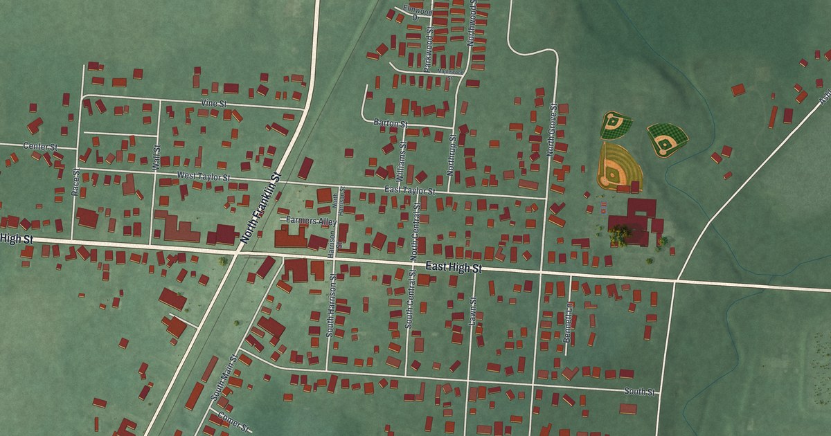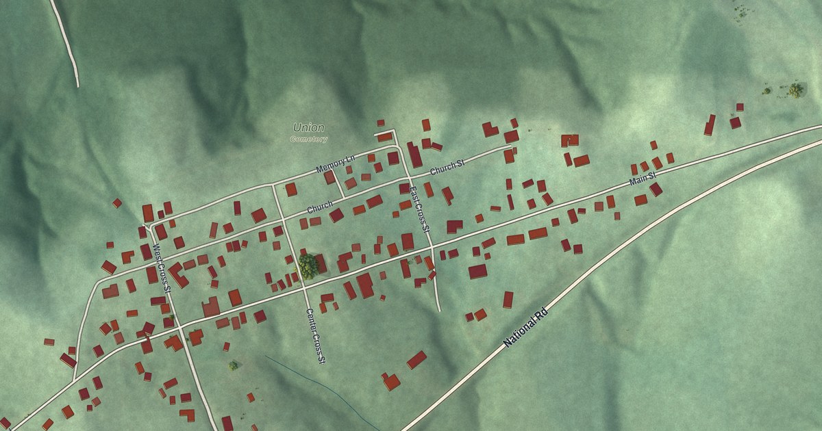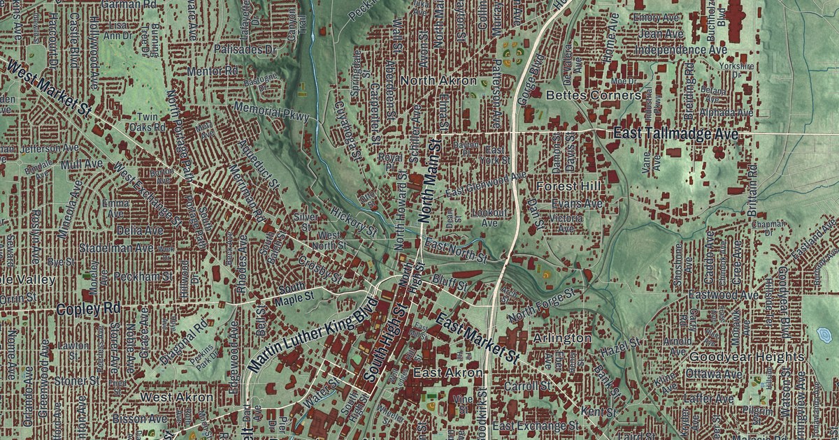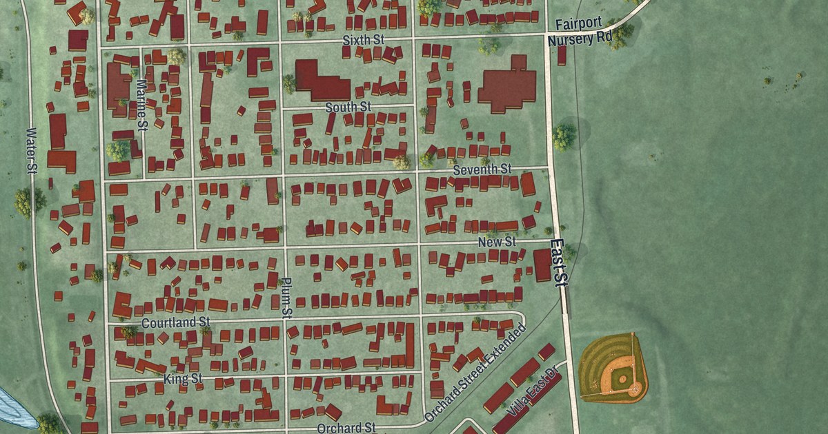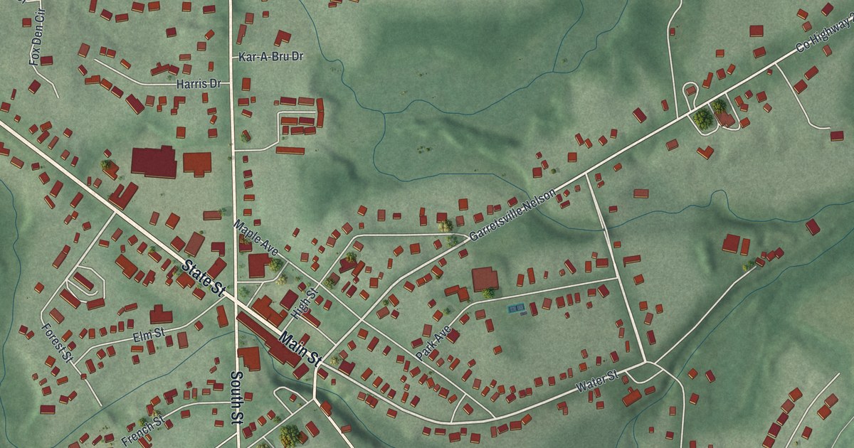
If you grew up in Garrettsville or cheered for the G-Men, this map of home is for you. It's a modern aerial view of Garrettsville in Portage County, Ohio, made from modern data and given a vintage look. You'll see Main Street at the center, the homes and shops in red all around it, and green hills rolling out to every edge.
Main Street, Freedom Street and the streets of Garrettsville
On this map you'll find Main Street, State Street, Windham Street, Freedom Street, High Street, South Street, North Street, Liberty Street, Water Street, Maple Avenue, Garfield Drive, Tom Hardesty Park, Bill Phelps Village Park, Park Cemetery, and more. Each red shape is a building, so zoom in on the preview and look for yours.
When Garrettsville was Ohio's maple sugar town
Garrettsville was once the center of the maple industry in Ohio. That's what the state marker on High Street says, and it lasted from the 1880s into the 1900s. In 1881, the village held the first professional meeting of maple syrup and sugar makers. They kept meeting here every year into the early 1900s. The one square mile of town had several syrup canneries. Shops here also built evaporators, the machines that boil sap down into syrup. In 1893, local makers took their syrup and sugar to the World's Fair in Chicago. A farmer from the Garrettsville area won first place for the best maple sugar in the world. The marker says Lifesavers candy was here too, and it started out as a maple sugar company. Clarence Crane, who invented Lifesavers, lived in town. His son Hart Crane was born in 1899 at the corner of Freedom Street and Highland Avenue. He grew up to be a major American poet. The maple marker stands on High Street, in the garden behind the Historical Society.
The 1935 train heist at Freedom Street
Garrettsville has a second story, from 1935. On November 7, 1935, gangster Alvin "Creepy" Karpis and his men held up an Erie train at the old Garrettsville Train Depot. They got away with over 46,000 dollars in cash and securities. A state marker calls it the last great train heist in American history. Karpis was caught on May 1, 1936. Local legend says FBI agents filled the town while they hunted for him. That's how, the story goes, the James A. Garfield School District teams came to be called the G-Men. The marker stands where Freedom Street meets White Street, by the Headwaters Trail parking area.
Garrettsville, from Main Street to Tom Hardesty Park
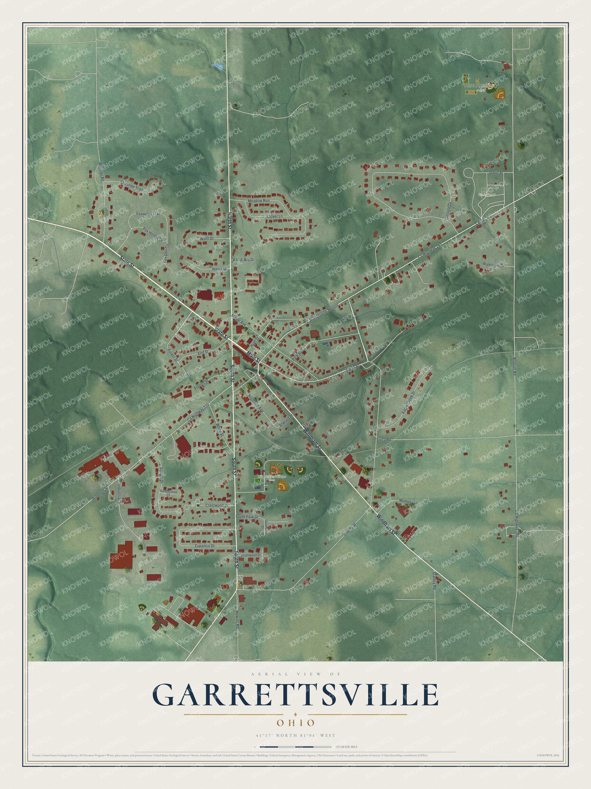
Created by KNOWOL in 2026, this print shows Garrettsville from above, with soft green hills, white roads and every building in red. The title panel reads "Aerial View of Garrettsville, Ohio" with the coordinates 41°17' North 81°06' West.
It fits a living room, a kitchen or a home office. It makes a good gift for a James A. Garfield graduate, a G-Men fan, or anyone who moved away from Main Street. Open the preview and look for your street. See sizes and frames for the Garrettsville map.