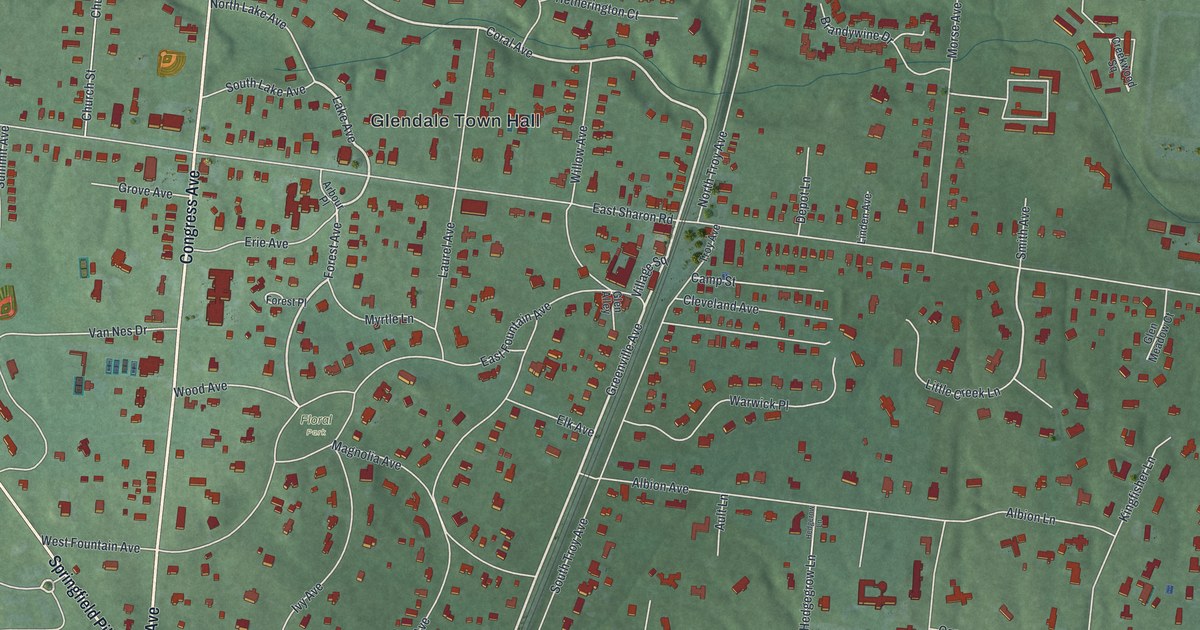
If you grew up on the curving streets around Glendale Town Hall, this map will feel like home. It's a modern aerial view of Glendale in Hamilton County, Ohio, made from modern data and finished with a vintage feel. You'll see Congress Avenue and Springfield Pike, Washington Park and Floral Park, and a rail line that cuts across the middle of town on a slant. Every home and shop shows up as a small red shape on soft green land.
How Glendale became Ohio's first planned community
On this map you'll find Congress Avenue, Springfield Pike, East Sharon Road, West Sharon Road, Glendale Town Hall, Village Square, Washington Park, Floral Park, Washington Avenue, Greenville Avenue, Laurel Avenue, Coral Avenue, Oak Road, Chester Road, Depot Lane, and more. Each red shape is a building, so zoom in on the preview and look for yours.
Glendale was founded in 1851. That was soon after the Cincinnati, Hamilton and Dayton Railway came through. In 1855 the village became a town of its own. It was Ohio's first planned community, and one of the first planned villages in the whole country. That's what the state historical marker at Village Square says. The planners set aside parks and strips of woods. They drew big lots and asked for well-built homes. And they bent the streets around trees that were already standing.
The curving streets around Floral Park
You can still see that plan from above. Look at the streets around Floral Park. They loop and curve instead of meeting in a straight grid. A rail line still runs through the heart of town, too. The marker says Glendale kept to its plan with great care. What's left includes 59 of the first key buildings, the old tree cover, stone gutters, gas streetlights and the railroad depot. Today the whole village is a National Historic Landmark community.
Glendale, from Washington Park to Oak Road
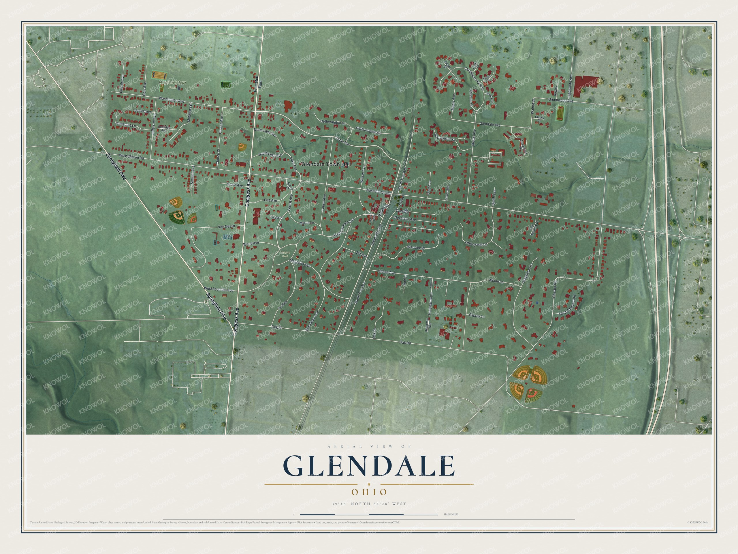
Created by KNOWOL in 2026, this print shows Glendale from above in soft greens, with gently shaded hills, pale streets and red buildings. The cream title panel reads Aerial View of Glendale, Ohio, with 39°16' North 84°28' West printed below.
It suits a front hall, a study or a family room. It's a good gift for someone who grew up near Glendale Town Hall and moved away, or for a family that just settled on Congress Avenue. Open the preview and find your street. See sizes and frames for the Glendale map.