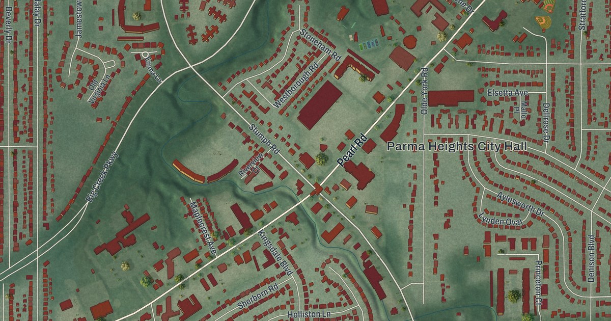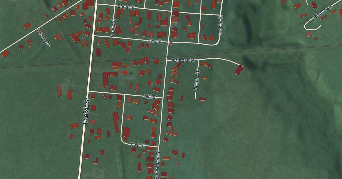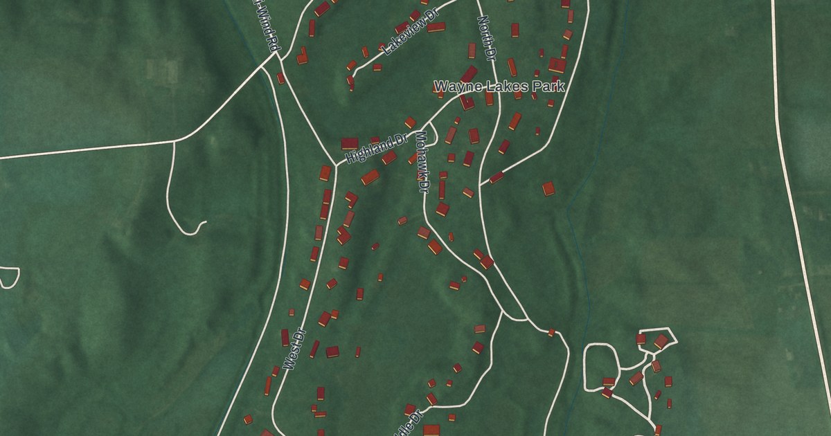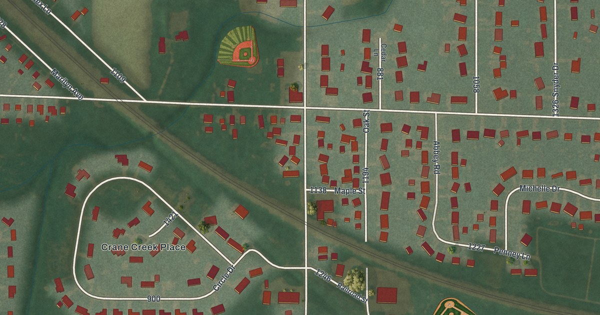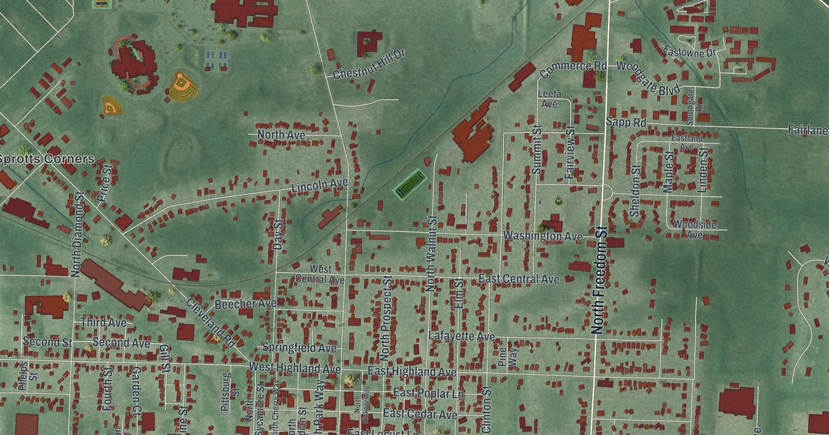
If you grew up in Ravenna, or you still have family on a street near Main and Chestnut, this map was made with you in mind. It's a new aerial view of Ravenna in Portage County, Ohio, built from modern data and given a vintage look. Downtown sits in the middle, packed with red buildings. Maple Grove Cemetery is near the top, and Windmill Lakes Golf Club is in the top right corner. Havres Woods Park and Diamond Park are down toward the bottom.
How Benjamin Tappan started Ravenna in 1808
On this map you'll find West Main Street, East Main Street, North Chestnut Street, South Chestnut Street, North Freedom Street, West Riddle Avenue, Kent Ravenna Road, Ravenna Warren Road, Cleveland Road, Tappan Court, Maple Grove Cemetery, Havres Woods Park, Diamond Park, Sprotts Corners, Windmill Lakes Golf Club, and more. Each red shape is a building, so zoom in on the preview and look for yours.
Ravenna got its start just months before it became the county seat. Benjamin Tappan laid out the town in the spring of 1808. On August 23 of that year, the new county met for its first session. It chose Ravenna as its seat of justice. That's how the 1885 History of Portage County tells it. Henry Howe later wrote that the town was named for a city in Italy. He placed it 34 miles southeast of Cleveland. Look for Tappan Court among the printed streets.
The Riddle Block on Main Street
Some of Ravenna's oldest buildings stand right downtown. The Riddle Block sits on the public square at Chestnut and Main streets. It joined the National Register of Historic Places in 1976. Three more Riddle Blocks, the Phoenix Block and the Etna House followed in 1985. All of them are on Main Street. Two Griffin houses on South Walnut Street are listed as well. Zoom in where Main Street crosses Chestnut Street. Those old blocks are in that tight cluster of red.
From Maple Grove Cemetery to Havres Woods Park

Created by KNOWOL in 2026, this print sets deep red buildings and thin pale streets over soft green aerial land. The title panel at the bottom reads Aerial View of Ravenna, Ohio, with 41°10' North 81°15' West printed below the name.
It fits a front hall, a home office or a family room. It makes a good gift for someone who grew up near Havres Woods Park, or for anyone who moved away from Portage County and misses home. Open the preview and find your street. See sizes and frames for the Ravenna map.