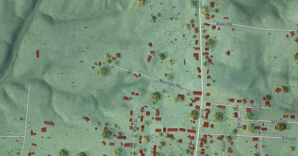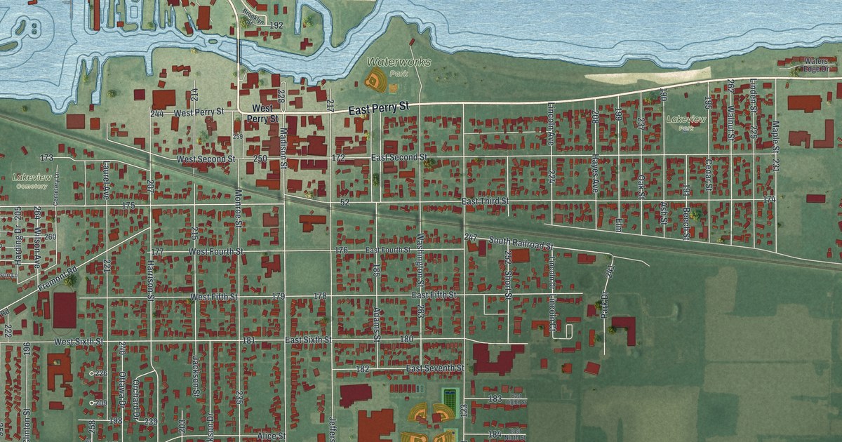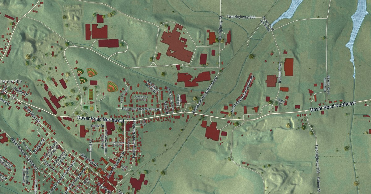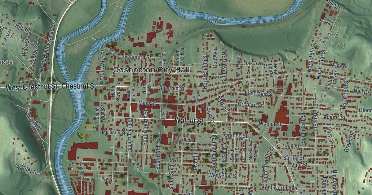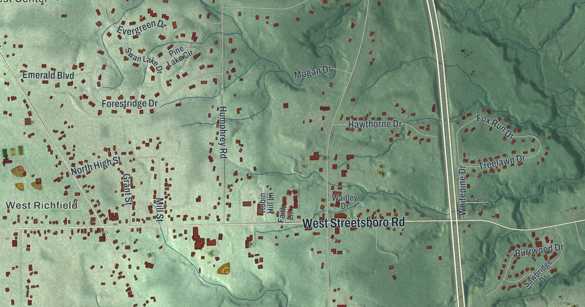
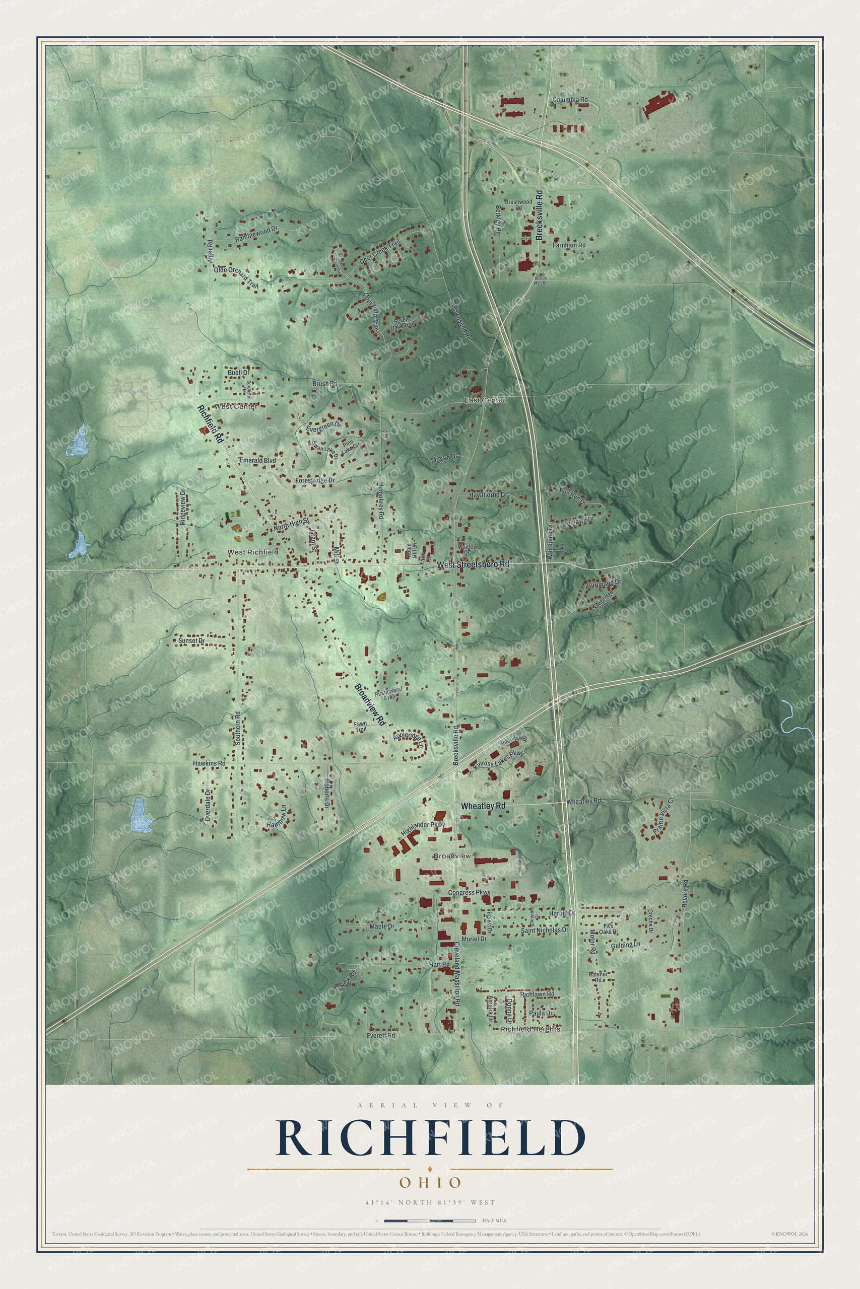
This beautifully detailed map of Richfield, Ohio was created in 2026 using aerial imagery combined with modern topographical, census, street and landmark data. It’s a one-of-a-kind view of Richfield that combines accurate data with a vintage aesthetic. The map shows every building in its true location, many of the roads carry their names, and the shaded topographic relief shows the shape of the land.
Explore an aerial view of Richfield, Ohio
On the map you’ll find Richfield Heights, Broadview, West Center, East Center, and West Richfield, along with Brecksville Road, Broadview Road, West Streetsboro Road, Wheatley Road, Richfield Road, New Road, Everett Road, and more. If you look closely you can even find your house accurately drawn in its correct location. Zoom in on the preview to look for yours.
Did you know this piece of Richfield, Ohio history?
Richfield was founded in 1809 and named for the richness of its soil. From 1974 to 1994 the village was home to the Cleveland Cavaliers of the NBA. The team played its games at the Richfield Coliseum.
Take a closer look at the Richfield map
Street and place names on the Richfield, Ohio map
These names are printed on the map of Richfield, Ohio.
Places: Richfield Heights, Broadview, West Center, East Center and West Richfield.
Streets and roads: Brecksville Road, Broadview Road, West Streetsboro Road, Wheatley Road, Richfield Road, New Road, Everett Road, Cleveland Massillon Road, Brush Road, Southern Road, Hawkins Road, Revere Road.
More street names, A to Z
Alger Road, Amelia Drive, Appleridge Lane, Berkley Road, Boston Mills Road, Brushwood Road, Buell Drive, Burrwood Drive, Carroll Drive, Christine Drive, Columbia Road, Congress Parkway, Creche Drive, Deer Creek Circle, Deer Creek Trail, Deer Path Trail, Donna Drive, Emerald Boulevard, Evergreen Drive, Faith Lane, Farnham Road, Fawn Trail, Five Oaks Drive, Forestridge Drive, Fox Run Drive, Gelding Lane, Grant Street, Harold Drive, Hart Road, Hawthorne Drive, Highlander Parkway, Humphrey Road, Interstate Drive, Kinross Lakes Parkway, Maple Drive, Mill Street, Mogan Drive, Motor Road, Muriel Drive, North High Street, Olde Orchard Trail, Overdale Drive, Paula Drive, Pine Lake Circle, Prairie Vista Court, Rainbow Lane, Ramblewood Drive, Ratener Road, Richlawn Road, Ridgeview Drive, Roberts Drive, Robin Hill Lane, Rusticwood Trail, Saint Nicholas Drive, Sawbridge Drive, Seven Oaks Trail, Sorenson Road, Sunset Drive, Swan Lake Drive, Townsend Road, Treelawn Drive, Virginia Drive, Waitley Drive, Whitepine Drive.
See the Richfield, Ohio map on a wall
The Richfield map as an 18 x 24 inch print in a black frame.

This beautifully detailed map of Richfield makes an attractive addition to your office, library, or den, and it can even be used to teach children the geography and history of the area. It also makes a great gift for anyone who grew up in Richfield or moved away. When you’re done exploring, click here to get your copy of the Richfield map.