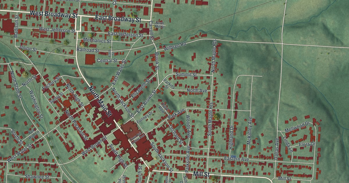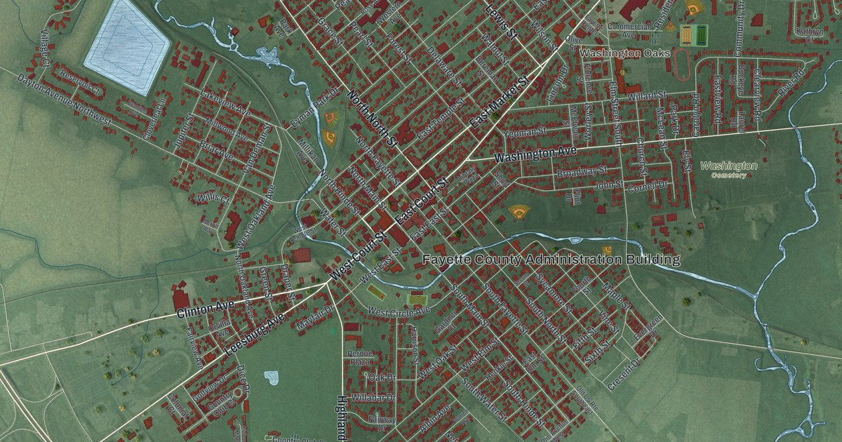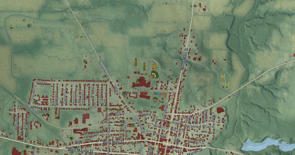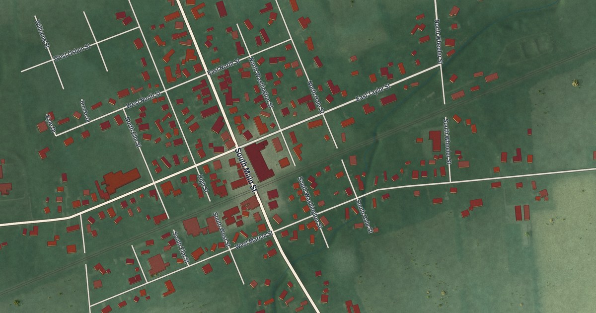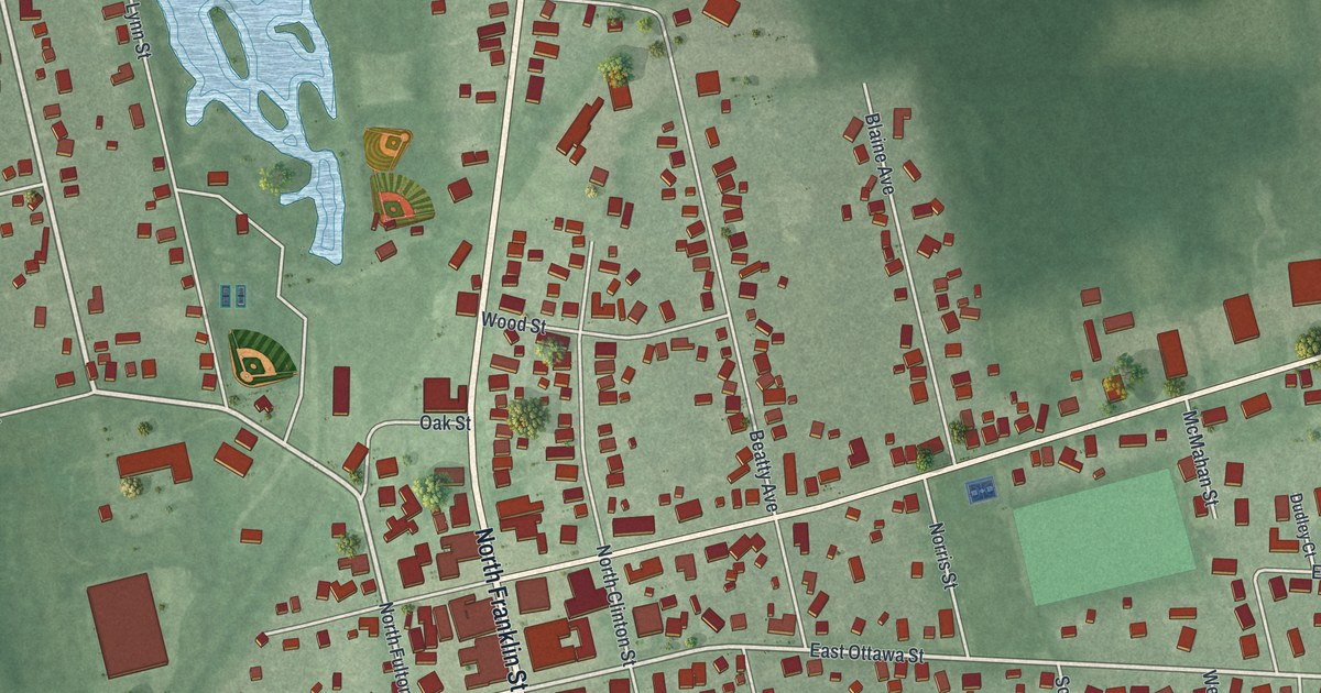
If you grew up in Richwood, or you still know the way to the Richwood Fairgrounds, this map was made with you in mind. It's a modern aerial view of Richwood in Union County, Ohio, built from modern data and given a vintage feel. Green farm fields ring the village on every side. North Franklin Street and South Franklin Street run through the middle, and red buildings crowd the blocks around them. A pale blue pond and ball fields fill the top of the sheet, and the fairgrounds oval sits at the lower left.
From Franklin Street to the Richwood Fairgrounds
On this map you'll find North Franklin Street, South Franklin Street, West Ottawa Street, East Ottawa Street, East Blagrove Street, West Blagrove Street, Grove Street, Veterans Way, Beatty Avenue, Blaine Avenue, School Street, Maple Street, Walnut Street, Ira Bean Parkway, the Richwood Fairgrounds, and more. Each red shape is a building, so zoom in on the preview and look for yours.
The Richwood Opera House and Town Hall, built in 1890
One landmark on South Franklin Street is the Richwood Opera House and Town Hall. It was built in 1890 at 101 South Franklin Street. It was made to hold a lot under one roof. The town council met there. The fire department and the jail were there too. So was the opera house. The Remarkable Ohio marker says it served Richwood in all these ways for nearly 75 years.
The stage saw a long list of events. There were concerts, movies and lectures. There were revivals, farmers' institutes, graduations and town meetings. Upstairs, a gym held a men's basketball league and dance classes. After World War II, it was a teen center. In 1906, an interurban railway opened between Richwood and the resort town of Magnetic Springs. That brought even more people to the shows. On the map, look along South Franklin Street, just below the busy corner where it meets the Ottawa streets.
A Richwood map to keep close

Created by KNOWOL in 2026. The print shows Richwood from above, with red buildings, pale roads and soft green fields shaded by the lay of the land. The title panel reads Aerial View of Richwood, Ohio, with 40°26' North 83°18' West below it.
It fits a front hall, a den or a kitchen wall. It's also a good gift for anyone who spent summer days at the Richwood Fairgrounds, or who grew up near the Opera House on South Franklin Street and moved away. Open the preview and find your street. See sizes and frames for the Richwood map.