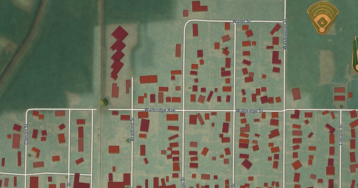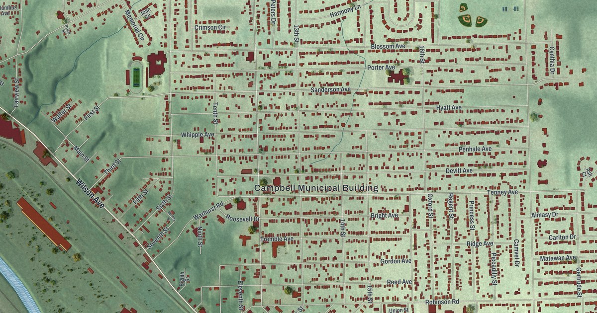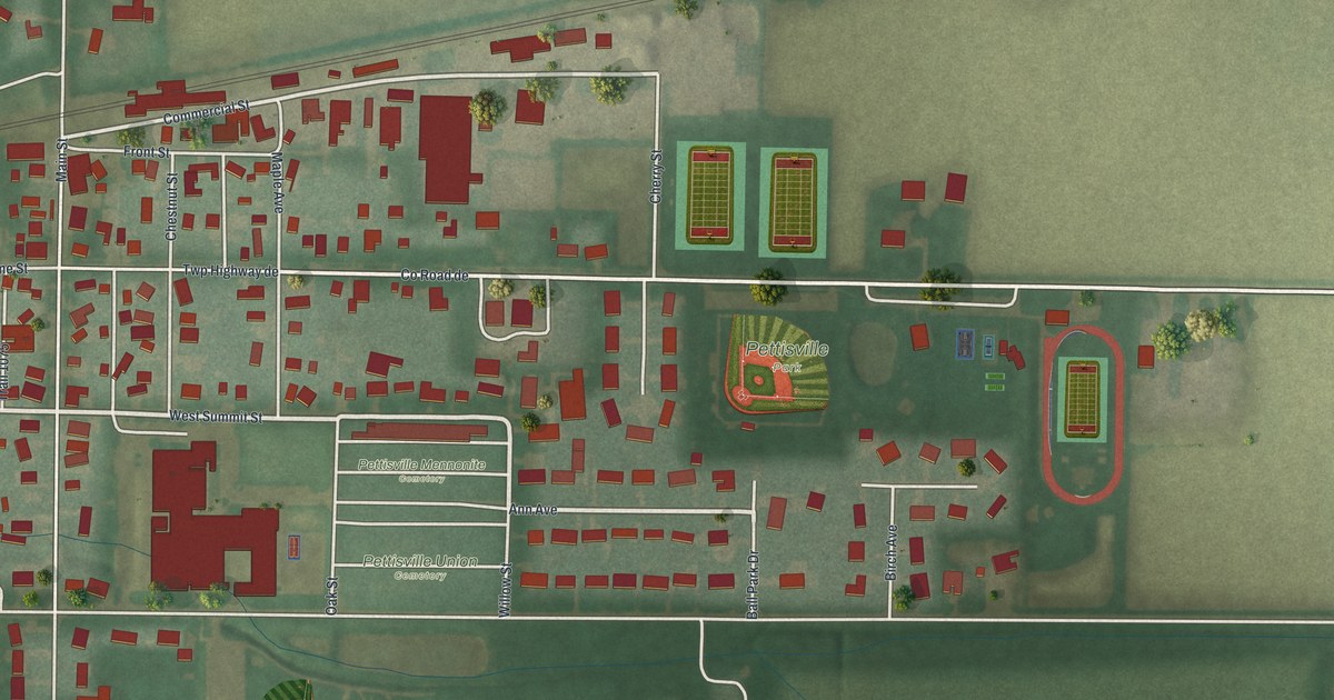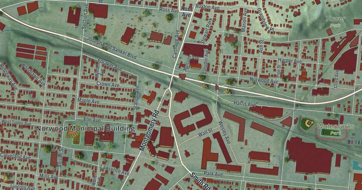
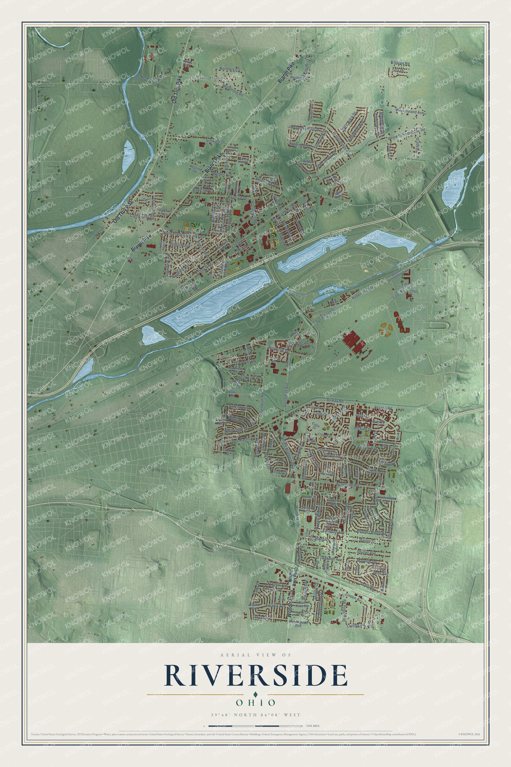
This beautifully detailed map of Riverside, Ohio was created in 2026 using aerial imagery combined with modern topographical, census, street and landmark data. It’s a one-of-a-kind view of Riverside that combines accurate data with a vintage aesthetic. The map shows every building in its true location, many of the roads carry their names, and the shaded topographic relief shows the shape of the land.
Explore an aerial view of Riverside, Ohio
On the map you’ll find Clement, Beverly Gardens, Avondale, Harries, Hooks Corner, and Page Manor, along with Old Troy Pike, Brandt Pike, Woodman Drive, Valley Pike, Springfield Street, Huberville Avenue, and more. If you look closely you can even find your house accurately drawn in its correct location. Zoom in on the preview to look for yours.
Take a closer look at the Riverside map
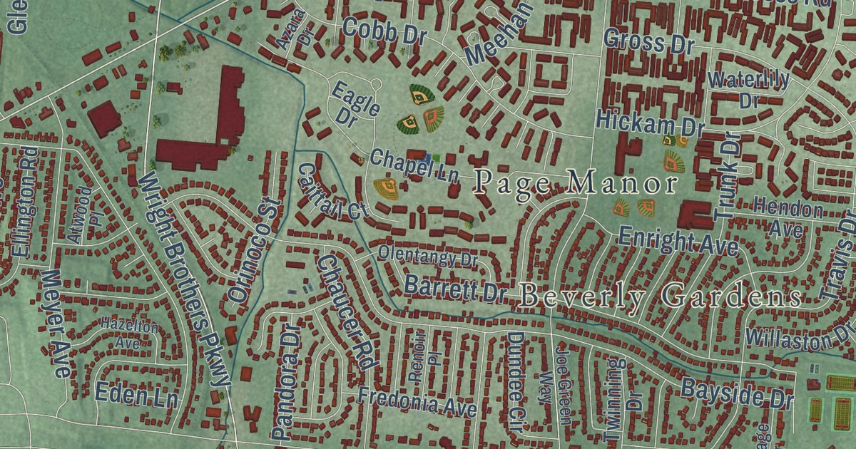
Street and place names on the Riverside, Ohio map
These names are printed on the map of Riverside, Ohio.
Places: Clement, Beverly Gardens, Hooks Corner, Avondale, Harries and Page Manor.
Streets and roads: Old Troy Pike, Brandt Pike, Woodman Drive, Harshman Road, Valley Pike, Harshman Avenue, Huberville Avenue, Loop Road, Airway Road, Landola Lane, Springfield Street, Spinning Road.
More street names, A to Z
Access Road, Agricola Avenue, Albrecht Avenue, Amble Way, Ames Avenue, Arcadia Avenue, Arcadia Boulevard, Arrowrock Avenue, Atwood Place, Azara Drive, Barrett Drive, Bayside Drive, Beatrice Drive, Blue Bell Road, Blue Rock Road, Bower Avenue, Brio Drive, Broomsedge Drive, Burkhardt Road, Bushnell Avenue, Butane Boulevard, Caittail Court, Carlotta Drive, Carlton Drive, Cascade Drive, Chapel Lane, Chaucer Road, Christy Avenue, Clarewood Avenue, Cobb Drive, Cobblestone Street, Colin Kelly Drive, Community Drive, Corkwood Drive, Coury Lane, Craycraft Avenue, Crestmont Drive, Dawes Avenue, Dayton Springfield Pike, Delhi Drive, Derwent Drive, Dora Avenue, Dundee Circle, Duquesne Avenue, Eagle Drive, Eastman Avenue, Eden Lane, Ellington Road, Elmshaven Drive, Elverne Avenue, Encore Drive, Enright Avenue, Fairpark Avenue, Falke Drive, Feldman Avenue, Fifth Street, Forest Ridge Boulevard, Fourth Street, Franlou Avenue, Fredonia Avenue, Freesia Drive, Georgia Drive, Glendean Avenue, Gleneagle Drive, Glen Martin Drive, Golden Meadows Court, Golf Street, Granville Place, Gross Drive, Halsey Drive, Harlan Place, Harlou Drive, Hawkey Lane, Hayden Avenue, Hazelton Avenue, Helenwood Drive, Hendon Avenue, Hickam Drive, Homecrest Avenue, Honeyleaf Way, Hunters Ridge Road, Hyland Drive, Hypathia Avenue, Ingleside Avenue, Intercity Drive, Irmal Drive, Jeanette Drive, Joe Green Way, Kalida Avenue, Kay Court, Kevin Drive, Kitridge Road, Kolmar Avenue, Laramie Drive, Leising Road, Linden Avenue, Little Meadow Drive, Logan Avenue, Lorella Avenue, Marianne Drive, Marjorie Avenue, Marshfield Street, Matt Way, Mattway Drive, Mayapple Avenue, Mayville Drive, Meadowsweet Drive, Meehan Drive, Mentor Avenue, Mertland Avenue, Meyer Avenue, Minnesota Drive, Morningside Boulevard, Mundy Court, Needmore Road, Nimitz Drive, Norman Boulevard, Northcliff Drive, Northern Circle, North Pleasant Valley Avenue, Oakdell Avenue, Obie Street, Old Harshman Road, Old Needmore Road, Olentangy Drive, Orinoco Street, Pandora Drive, Penn Avenue, Planters Avenue, Pleasant Valley Avenue, Pocatello Avenue, Quinby Lane, Radio Road, Rausch Avenue, Reading Road, Redbay Drive, Renfield Drive, Renoir Place, Richland Drive, Ridgepath Drive, Robinwood Avenue, Rohrer Boulevard, Rondowa Avenue, Sagamore Avenue, Sanford Drive, Schwinn Drive, Sedgewick Drive, Serro Place, Share Drive, Sharp Road, Sheller Avenue, Silver Arrow Drive, Silverberry Avenue, Silverleaf Drive, Silver Oak Street, Sixth Street, Spaulding Road, Spicewood Drive, Split Rock Drive, Strathaven Drive, Sweetleaf Drive, Tall Oaks Drive, Tica Drive, Titan Street, Torlage Drive, Travis Drive, Trunk Drive, Tulip Lane, Twinning Drive, Twin Oaks Drive, Union Schoolhouse Road, Valencia Street, Valleycrest Drive, Valley Street, Vandergrift Drive, Wagon Wheel Drive, Wainwright Drive, Wake Avenue, Wald Avenue, Waneta Avenue, Waterlily Drive, West Hyland Avenue, Willaston Drive, Willow Brook Court, Worchester Road, Wright Bros Parkway, Wright Brothers Parkway.
See the Riverside, Ohio map on a wall
The Riverside map as an 18 x 24 inch print in a black frame.

This beautifully detailed map of Riverside makes an attractive addition to your office, library, or den, and it can even be used to teach children the geography and history of the area. It also makes a great gift for anyone with Riverside roots. When you’re done exploring, click here to get your copy of the Riverside map.