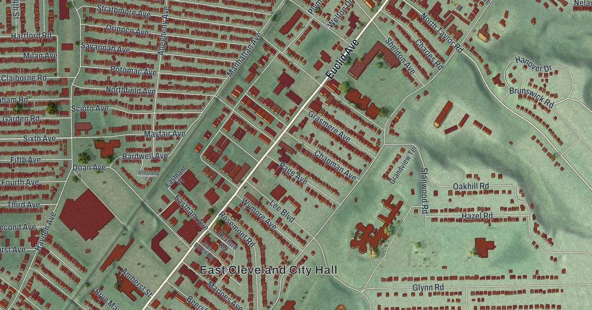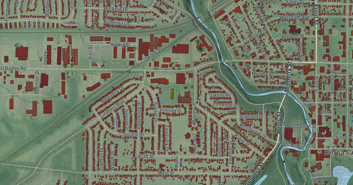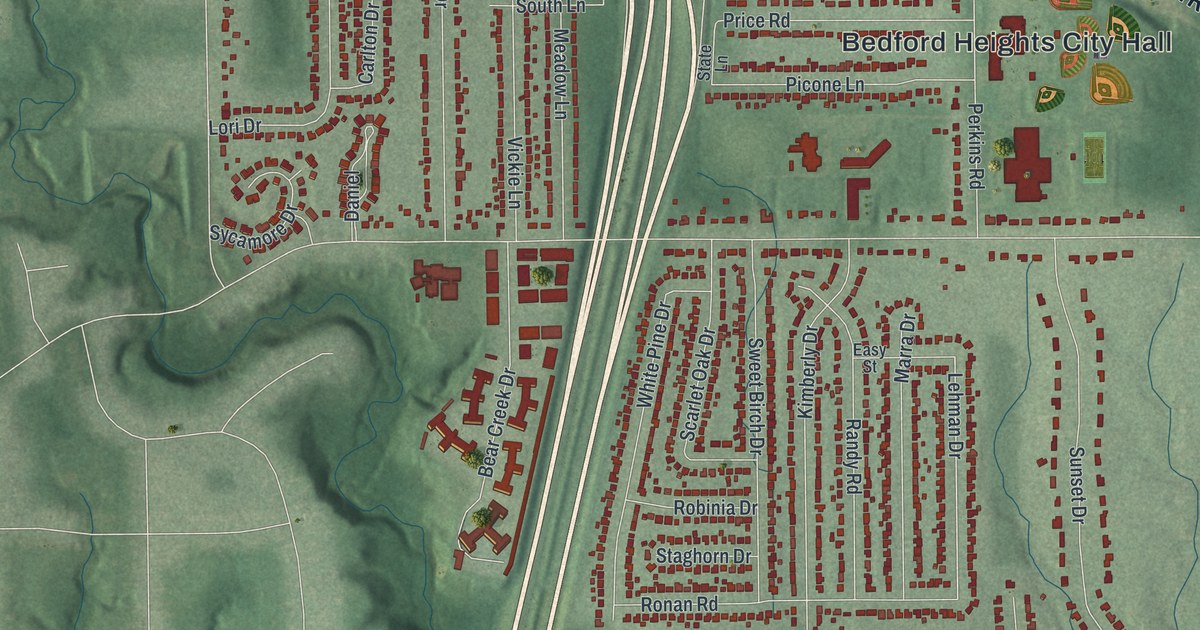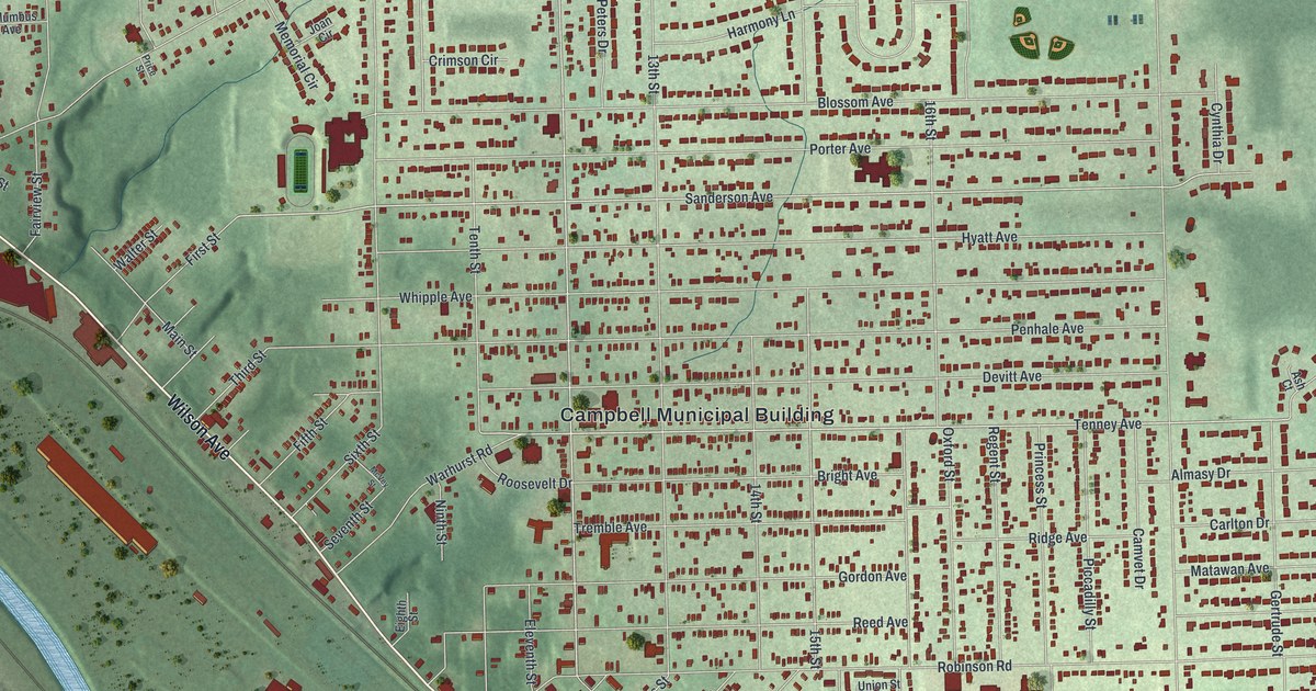
This beautifully detailed map of Campbell, Ohio was created in 2026 using aerial imagery combined with modern topographical, census, street and landmark data. It’s a one-of-a-kind view of Campbell that combines accurate data with a vintage aesthetic. The map shows every building in its true location, many of the roads carry their names, and the shaded topographic relief shows the shape of the land.
Explore an aerial view of Campbell, Ohio
On the map you’ll find Campbell Municipal Building, Roosevelt Park, and Crab Creek Junction, along with Struthers Coitsville Road, Wilson Avenue, McCartney Road, Notre Dame Drive, Tenney Avenue, Sanderson Avenue, Twelfth Street, Harold Lane, Struthers Liberty Road, and more. If you look closely you can even find your house accurately drawn in its correct location. Zoom in on the preview to look for yours.
Did you know this piece of Campbell, Ohio history?
From the City of Campbell: "The form of what was to become the City of Campbell began in 1902 when the Youngstown Iron, Sheet and Tube Company established operations on the banks of the Mahoning River in Coitsville Township."
Take a closer look at the Campbell map
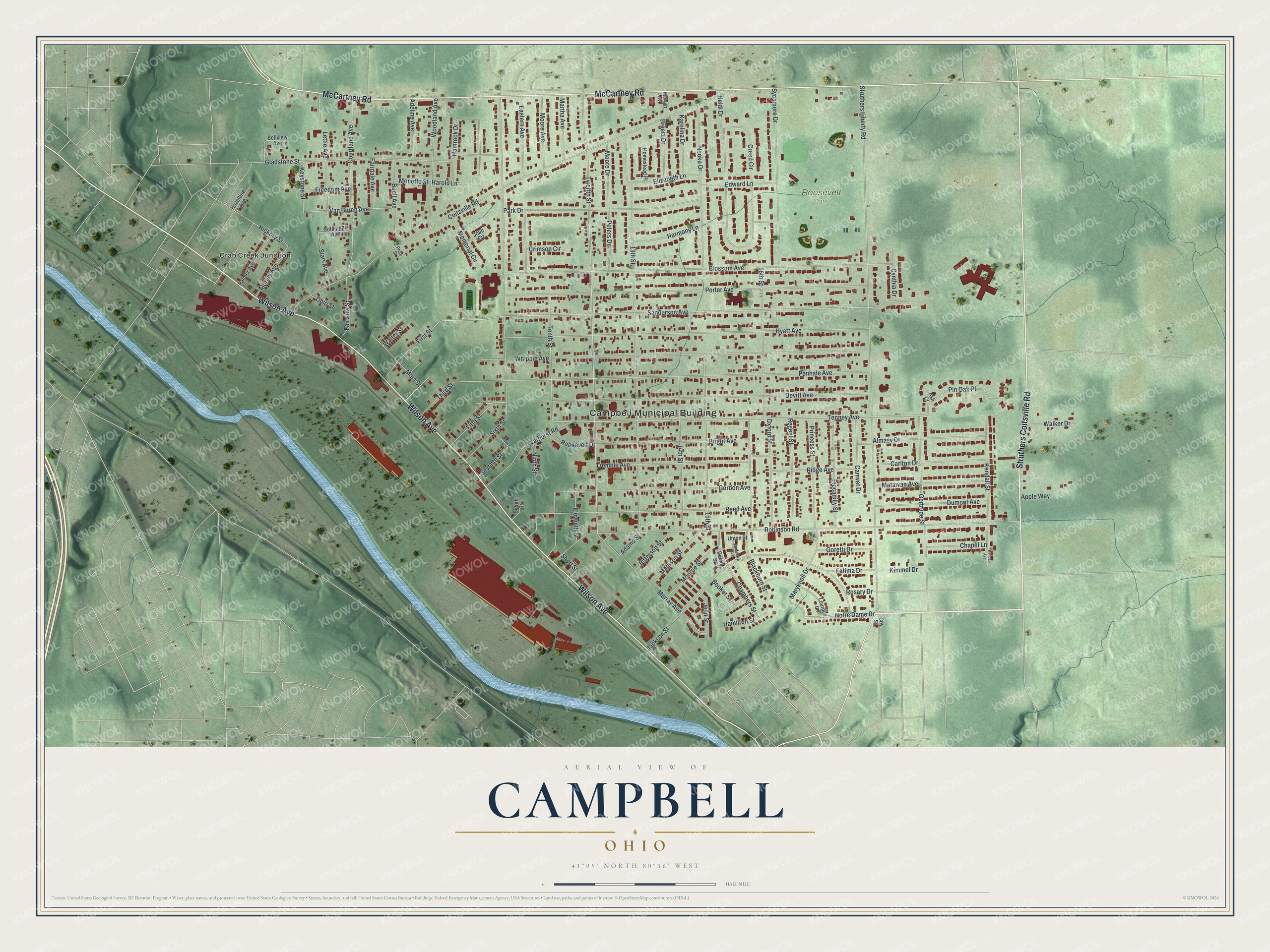
Street and place names on the Campbell, Ohio map
These names are printed on the map of Campbell, Ohio.
Places: Campbell Municipal Building, Roosevelt Park and Crab Creek Junction.
Streets and roads: Struthers Coitsville Road, Wilson Avenue, McCartney Road, Notre Dame Drive, Tenney Avenue, Sanderson Avenue, Twelfth Street, Harold Lane, Struthers Liberty Road, Coitsville Road, Robinson Road, Penhale Avenue.
More street names, A to Z
13th Street, 14th Street, 15th Street, 16th Street, Adams Street, Adeline Avenue, Almasy Drive, Andrews Avenue, Apple Way, Ash Court, Bellview Avenue, Blackburn Street, Blossom Avenue, Booker Street, Breetz Drive, Bright Avenue, Buell Avenue, Camvet Drive, Carlton Drive, Chambers Street, Chapel Lane, Columbus Avenue, Courtland Avenue, Coy Street, Creed Circle, Crimson Circle, Cynthia Drive, Delmar Street, Devitt Avenue, Dumont Avenue, Eastern Avenue, Edward Lane, Eighth Street, Eleventh Street, Elizabeth Lane, Fairdale Avenue, Fairview Street, Fatima Drive, Fifth Street, First Street, Freedom Avenue, Gertrude Street, Gladstone Street, Gordon Avenue, Goretti Drive, Hamilton Street, Hamrock Drive, Harmony Lane, Hazeltine Avenue, Heidi Drive, Hickory Street, Homestead Place, Hyatt Avenue, Jackson Street, Jean Street, Jefferson Street, Joan Circle, Karolina Drive, Kendall Avenue, Kendall Street, Keystone Street, Kimmel Drive, Lettie Avenue, Lourdes Lane, Madison Street, Main Street, Marlyn Avenue, Martha Avenue, Maryknoll Drive, Matawan Avenue, McVey Street, Memorial Circle, Monette Street, Monroe Street, Moore Avenue, Moore Drive, Morley Avenue, Murray Avenue, Neoka Drive, Ninth Street, Ohio Street, Oxford Street, Palmer Avenue, Park Drive, Peters Drive, Piccadilly Street, Pin Oak Place, Porter Avenue, Price Street, Princess Street, Reed Avenue, Regent Street, Ridge Avenue, Roosevelt Drive, Rosary Drive, Seventh Street, Short Street, Sixth Street, Starr Avenue, Sycamore Drive, Tenth Street, Third Street, Tremble Avenue, Union Street, Van Buren Avenue, Walker Drive, Walter Street, Warhurst Road, Whipple Avenue, Woodland Avenue.
See the Campbell, Ohio map on a wall
The Campbell map as an 18 x 24 inch print in a black frame.

This beautifully detailed map of Campbell makes an attractive addition to your office, library, or den, and it can even be used to teach children the geography and history of the area. It also makes a great gift for someone who left Campbell and still calls it home. When you’re done exploring, click here to get your copy of the Campbell map.