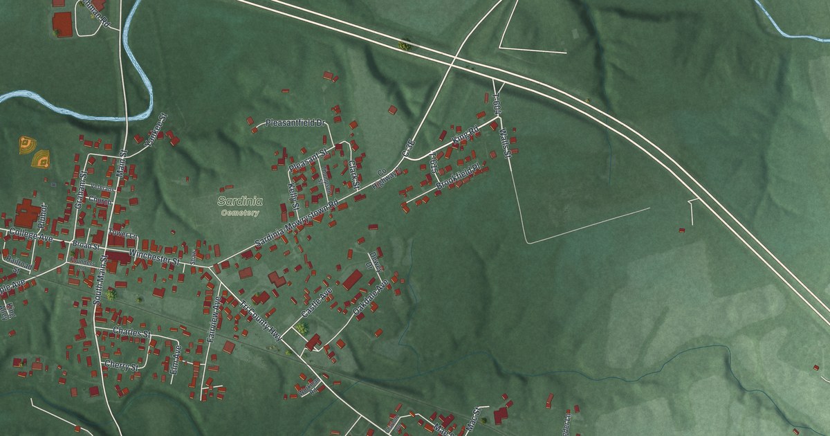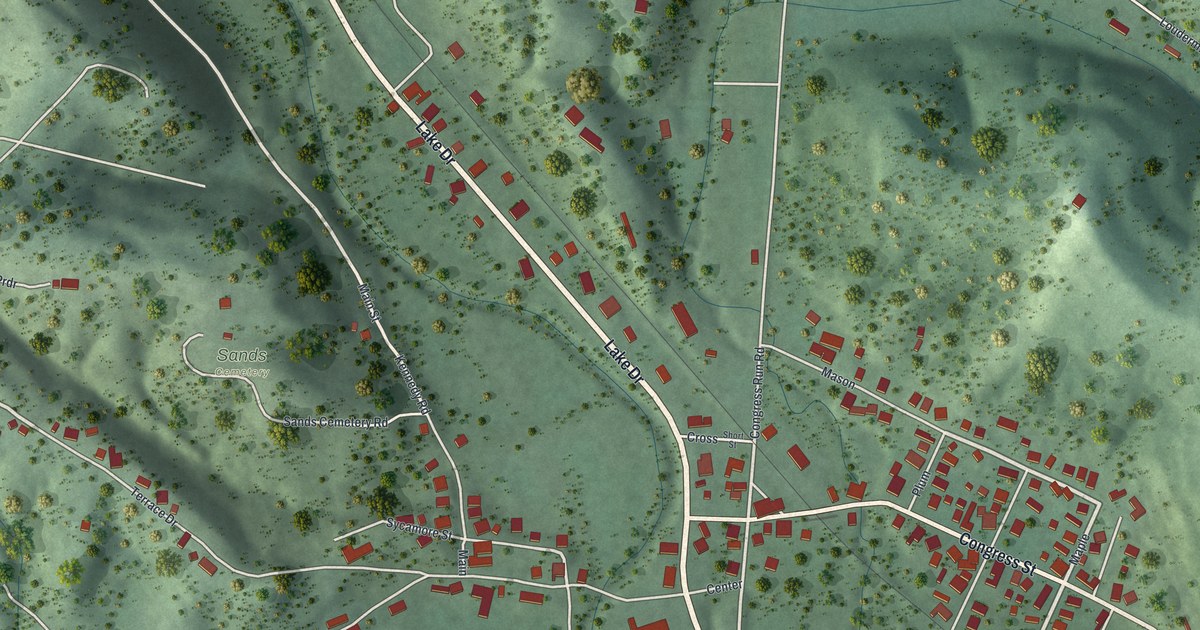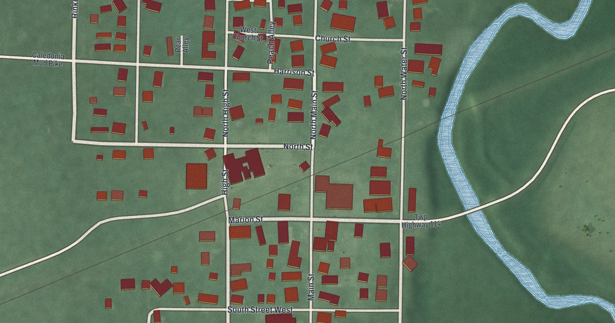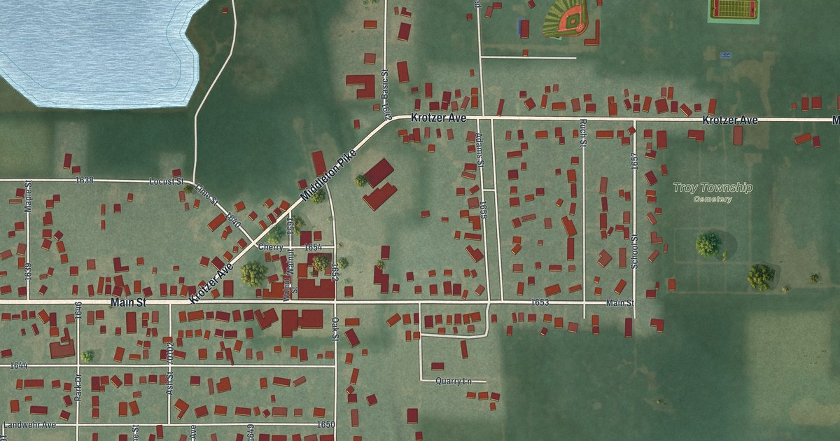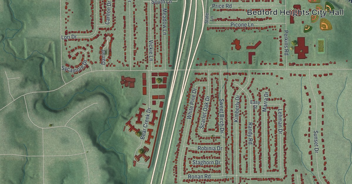
If you grew up in Bedford Heights, this print gives you familiar streets to find. It's a modern aerial view of Bedford Heights in Cuyahoga County, Ohio, made with modern data and a vintage feel. Red buildings fill the blocks, while green hills and a winding blue waterway shape the view.
Northfield Road and Bedford Heights City Hall
On this map you'll find Richmond Road, Aurora Road, Northfield Road, Rockside Road, Miles Road, Libby Road, Cannon Road, Perkins Road, Bartlett Road, Bedford Heights City Hall, Bedford Reservation, Evergreen Manor, and more. Each red shape is a building, so zoom in on the preview and look for yours.
Northfield Road also connects this view to a place of remembrance. At 5461 Northfield Road, Zion Memorial Park holds the Kol Israel Foundation Holocaust Memorial. The Ohio historical marker tells how a Cleveland group of Holocaust survivors dedicated it on May 28, 1961. They dedicated it in remembrance of the Jewish people targeted by Nazi Germany during World War II. The marker says it's believed to be among the first of its kind in the United States. Human remains, ashes, and artifacts from three concentration camps lie beneath the monument. You can find Northfield Road by name on this print.
Bedford Heights and Bedford Reservation in View
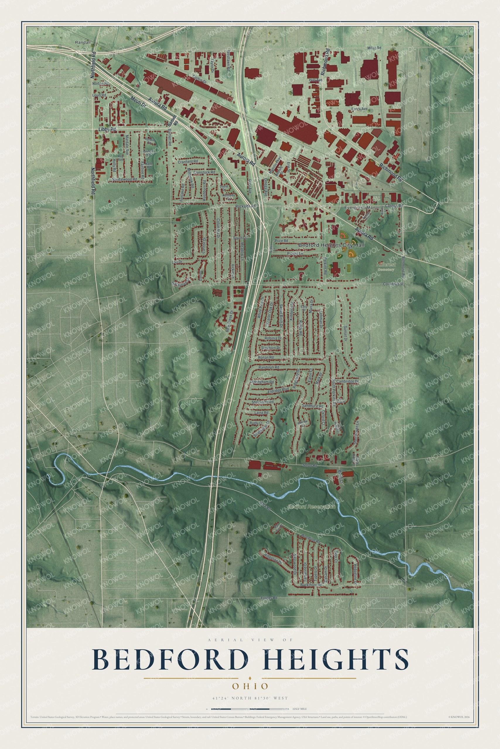
Created by KNOWOL in 2026, the print pairs green terrain with red buildings, pale roads, and blue water. A cream border surrounds the view. The title panel reads AERIAL VIEW OF, BEDFORD HEIGHTS, OHIO, and 41°24' NORTH 81°30' WEST.
Hang it in a living room, office, or entryway to keep home close. It's a thoughtful gift for someone who grew up near Northfield Road and moved away. Open the preview to find a familiar block and see the full view. See sizes and frames for the Bedford Heights map.