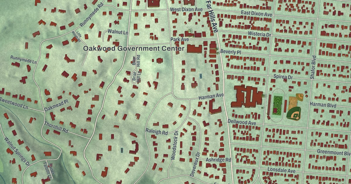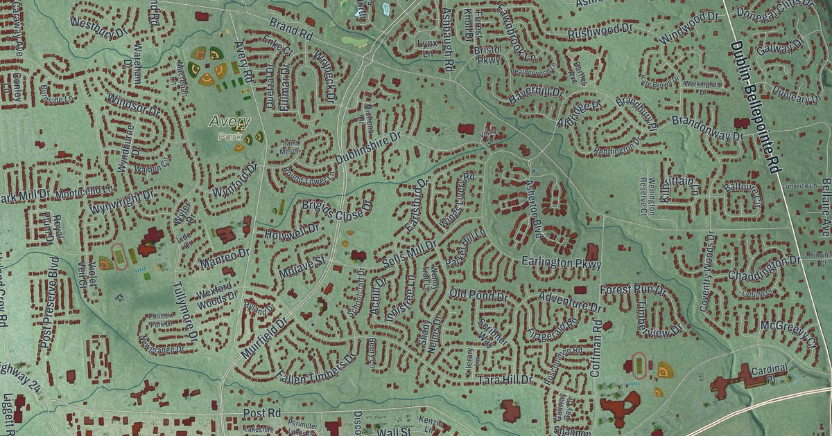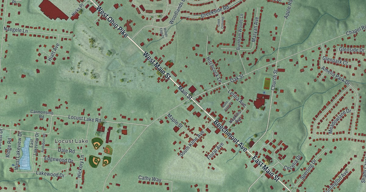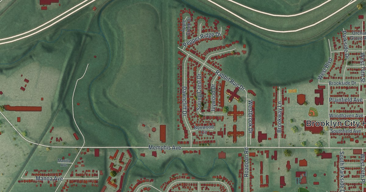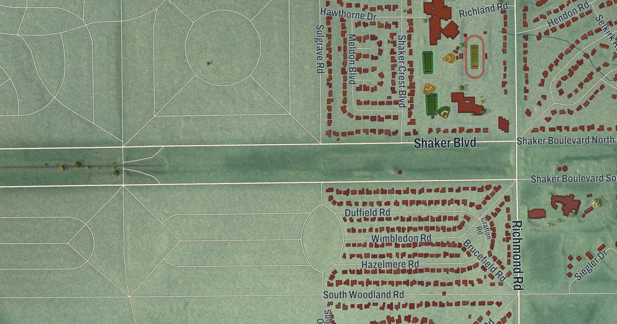
If you grew up in Beachwood, look for your old block on this print. It's a modern aerial view of Beachwood in Cuyahoga County, Ohio, made with modern data and a vintage feel. Red buildings fill the neighborhoods around Richmond Road. Canterbury Golf Club's green fairways stand out among the nearby streets.
Beachwood's streets and Canterbury Golf Club
On this map you'll find Chagrin Boulevard, Richmond Road, Shaker Boulevard, Fairmount Boulevard, Cedar Road, Beachwood City Hall, Canterbury Golf Club, Green Road, South Woodland Road, Beachwood Boulevard, Bryden Road, Commerce Park, and more. Each red shape is a building, so zoom in on the preview and look for yours.
Beachwood also has a story of people who found a new home. The Gates of Hope marker tells of Jewish refugees who fled Germany after Kristallnacht. They settled in Cleveland in 1940 and formed Shaarey Tikvah. Its name means "Gates of Hope" in Hebrew. At first, they met in private homes. Later, they found space above the Tasty Shop Bakery on Euclid Avenue. After several moves and mergers, the congregation settled in Beachwood in 1986.
The marker stands at 26811 Fairmount Boulevard, a street you can find on this map. Rabbi Jacob Shtull started Cleveland's annual Kristallnacht commemoration to honor the founders. In 1994, the congregation began "Face to Face." This Holocaust education program shares the refugees' story with local schools.
A Beachwood map for your wall
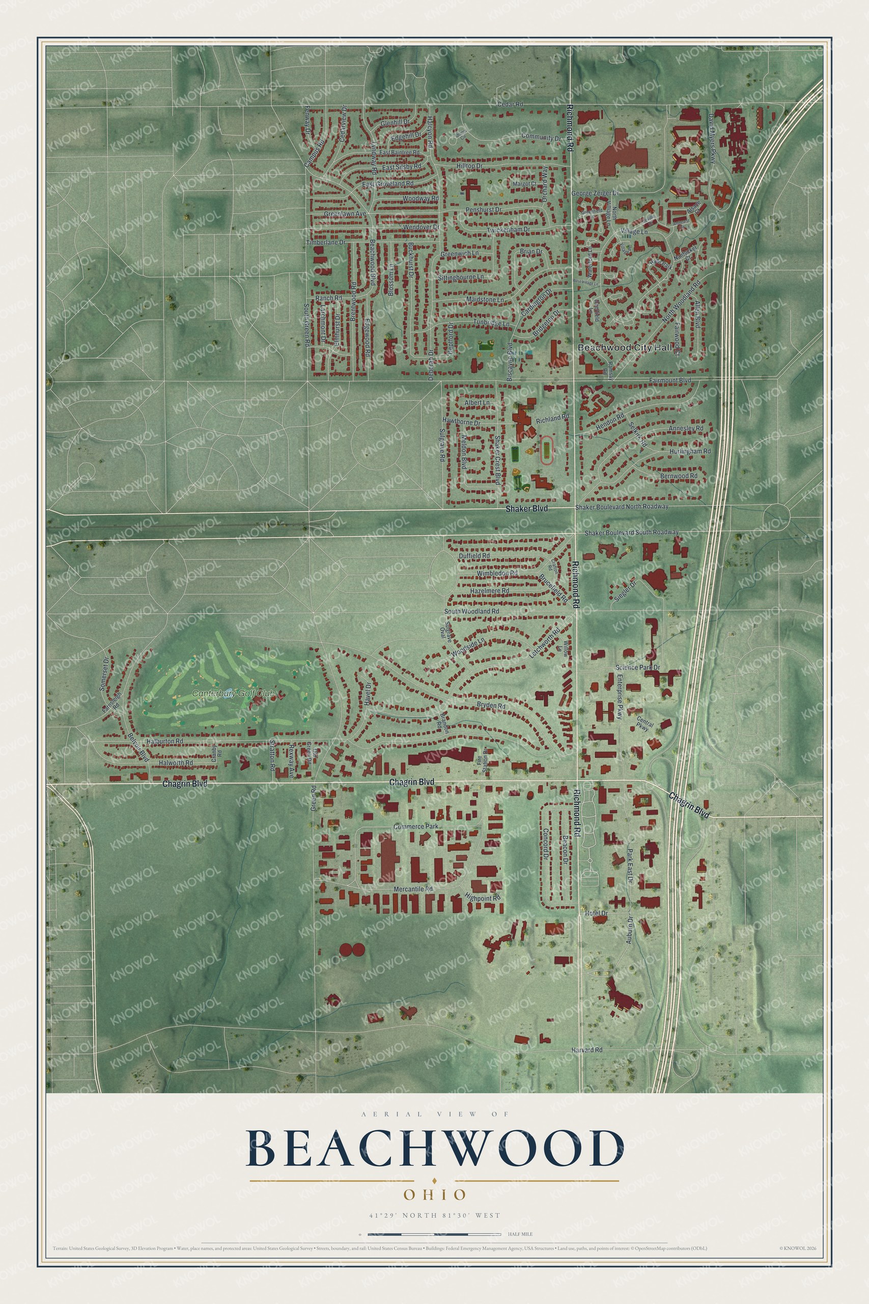
Created by KNOWOL in 2026, this print pairs soft green terrain with red buildings, pale roads, and a cream border. The title panel reads AERIAL VIEW OF, BEACHWOOD, OHIO, and 41°29' NORTH 81°30' WEST.
It suits a living room, office, or entryway. It's a thoughtful gift for someone who grew up near Fairmount Boulevard or moved away from Beachwood. Open the preview to look for a familiar street and keep a piece of home close. See sizes and frames for the Beachwood map.