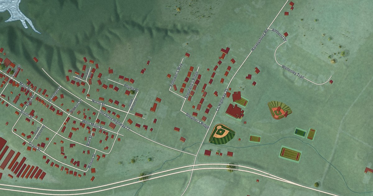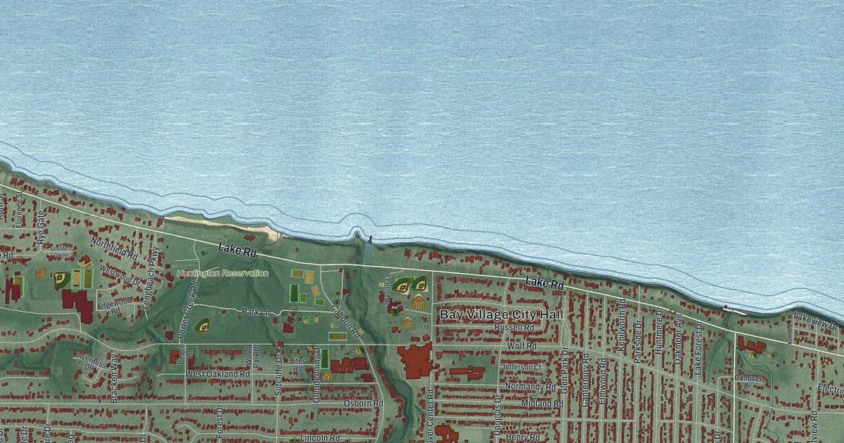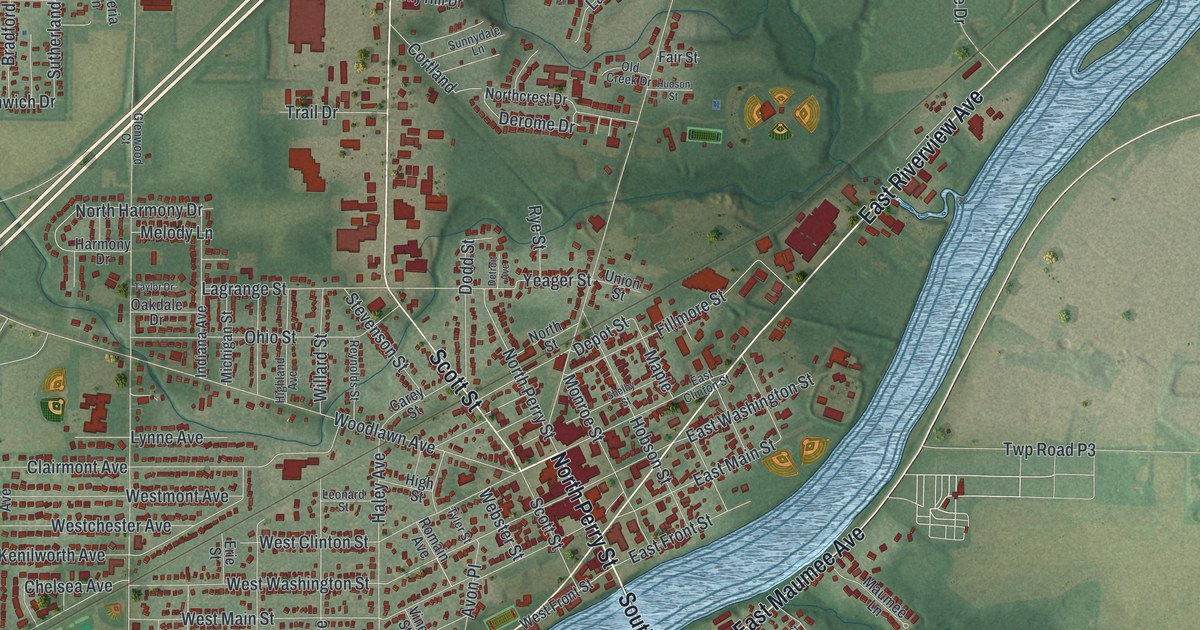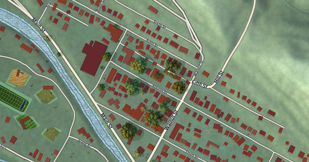
If you grew up in Lowell, look for your old block on this print. It's a modern aerial view of Lowell in Washington County, Ohio, made with modern data and a vintage feel. Red buildings line the streets beside blue water, with green hills rising around town.
Lowell's covered bridge across the Muskingum
On this map you'll find Main Street, State Road 60, Water Street, Lock Street, New Bridge Street, Market Street, Walnut Street, Fifth Street, Fourth Street, Third Street, Buell Street, Cats Creek Road, and more. Each red shape is a building, so zoom in on the preview and look for yours.
Lowell's covered bridge served a daily need: reaching the railroad across the river. The Covered Bridges marker tells how the wooden span was built in 1881. It linked Lowell to the railroad on the south side of the Muskingum. Wood was cheap and easy to work with. The roof kept rain off the bridge's timbers. The marker stands in Lowell on Lock Street, which is printed on this map.
The bridge faced trouble almost from the start. A storm blew off its roof in 1882. Two years later, a flood swept it off its stone piers. The bridge was restored, but the 1913 flood destroyed it. That flood took many bridges along the river. An iron bridge was built on the same site. Look at Lowell's streets beside the Muskingum and you're looking at a town that kept rebuilding its way across the river.
Main Street and the hills around Lowell
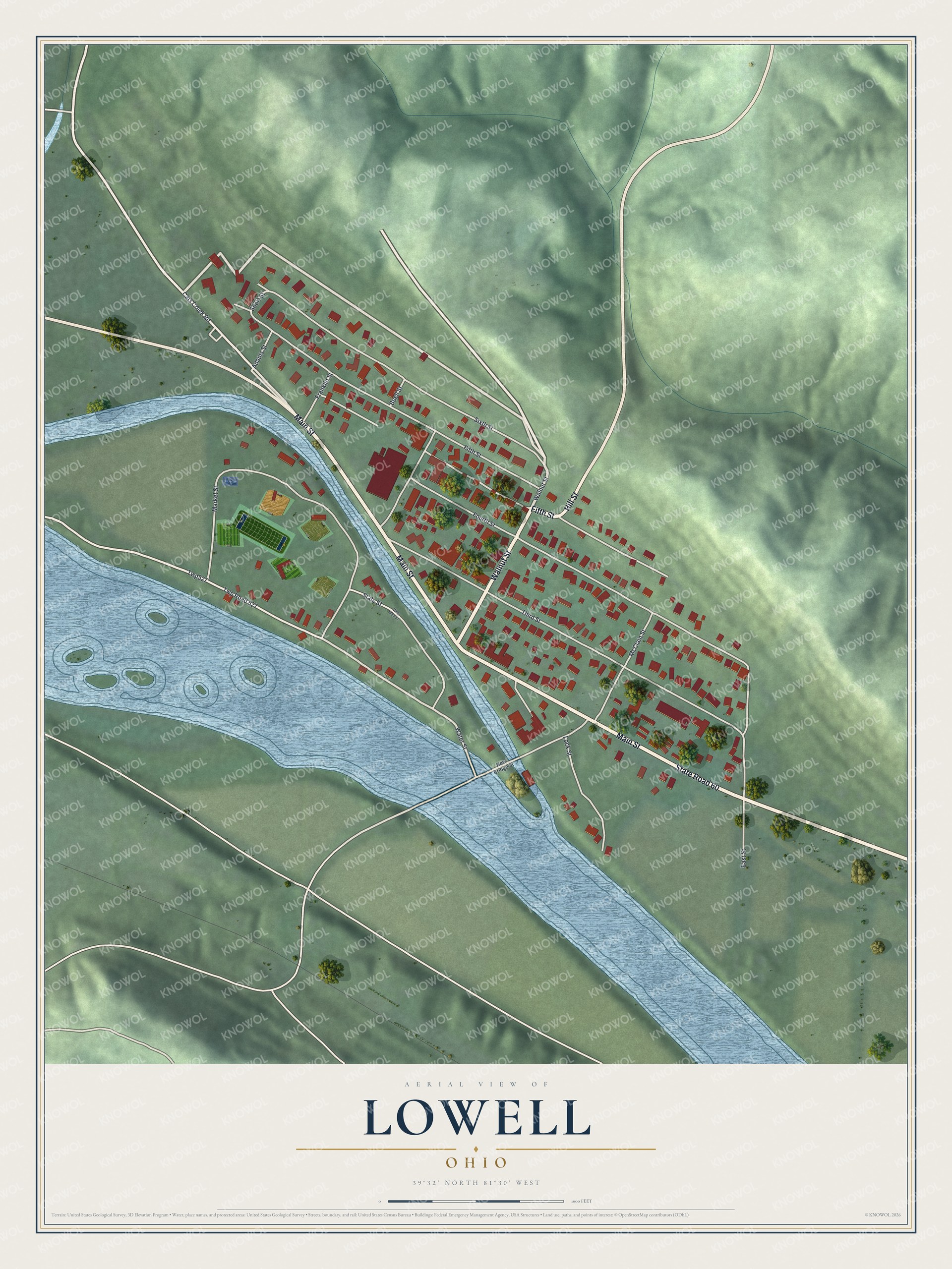
Created by KNOWOL in 2026, the print pairs green hills with blue water, cream roads and red buildings. A cream border surrounds the view. The title panel reads AERIAL VIEW OF, LOWELL, OHIO, with 39°32' NORTH 81°30' WEST below.
Hang it in a living room, office or entryway to keep Lowell close. It's a warm gift for someone who grew up near Main Street or moved away from town. Open the preview and look for the blocks you know. See sizes and frames for the Lowell map.