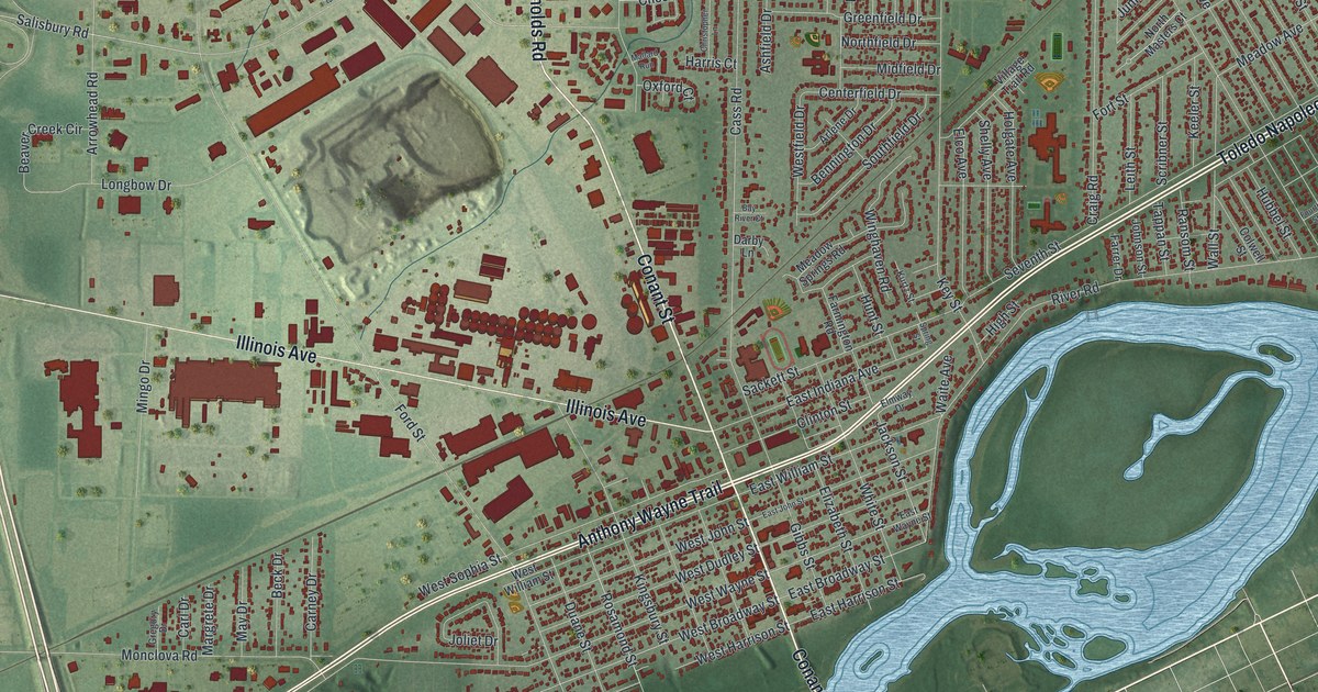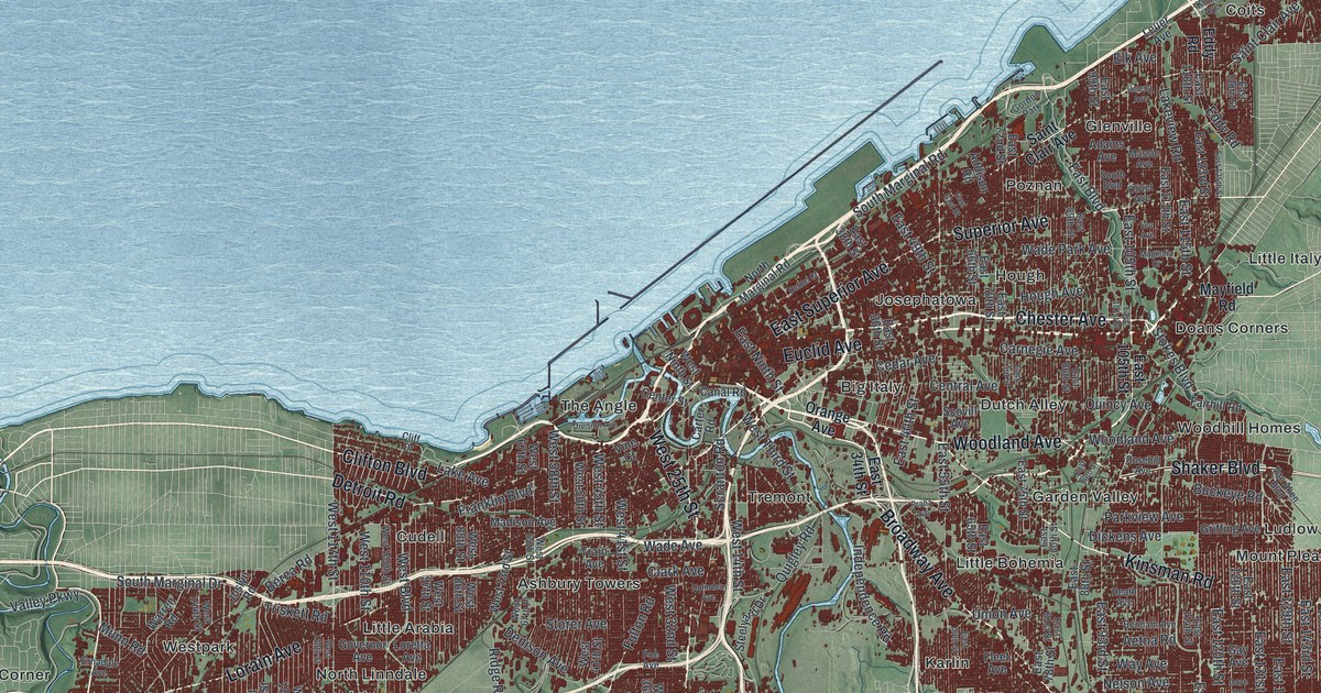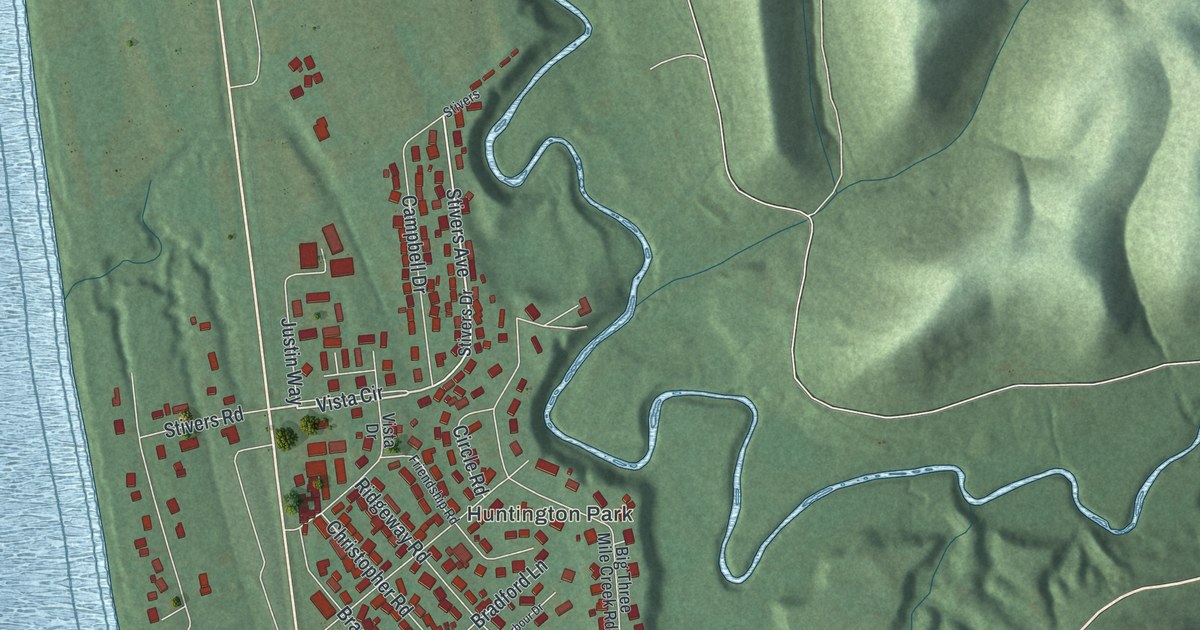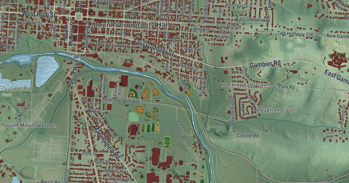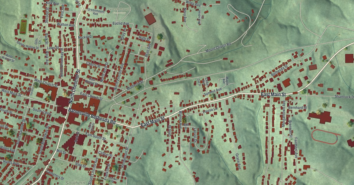
If you grew up in Barnesville, or your family still lives off Main Street, this map is for you. It's a new aerial view of Barnesville in Belmont County, Ohio, made from modern data and given a vintage look. Green hills fold around the village on every side. A small blue lake sits in the top left corner. More than 2,400 red buildings fill the streets from the park at the top to the cemetery on the south side.
What's on the Barnesville map
On this map you'll find North Chestnut Street, South Chestnut Street, East Main Street, West Main Street, East Church Street, Railroad Street, Watt Avenue, Bond Avenue, Leatherwood Pike, Barnesville Bethesda Road, Barnesville Memorial Park, Greenmount Cemetery, Southern Cemetery, Crestview Cemetery, and more. Each red shape is a building, so zoom in on the preview and look for yours.
How the Barnesville strawberry got famous
Barnesville was once known far and wide for its strawberries. Henry Howe wrote about them in his Historical Collections of Ohio in 1891. He said the shipping trade started about 1870. The first berries went to Columbus and Wheeling. Later they went to other towns nearby. By the time Howe wrote, the town was shipping 1,000 bushels a day. About 800 of those went to Chicago. Howe said the fame of the Barnesville strawberry had spread over the whole country, and even "so far as Russia." The town's Baltimore and Ohio depot stood on East Church Street. It's now listed on the National Register of Historic Places, and you can find East Church Street on the map.
The Watt car wheel works on Watt Avenue
At 511 Watt Avenue, an Ohio historical marker tells the story of the Watt Car and Wheel Company. Joseph Watt and his son James started a small foundry in 1862. They made plow points, window sash weights and heating stoves. Later, more of the Watt brothers joined. The family got a patent for a mine car wheel that oiled itself, and the business grew onto a 27-acre site. William McKinley dedicated the buildings in 1891, years before he became president. By 1901, more than 135 people worked there building mine and rail cars. The company was sold in 1966 and closed in 1996. The marker says that ended an era of work for generations of local people.
From East Main Street to Barnesville Memorial Park
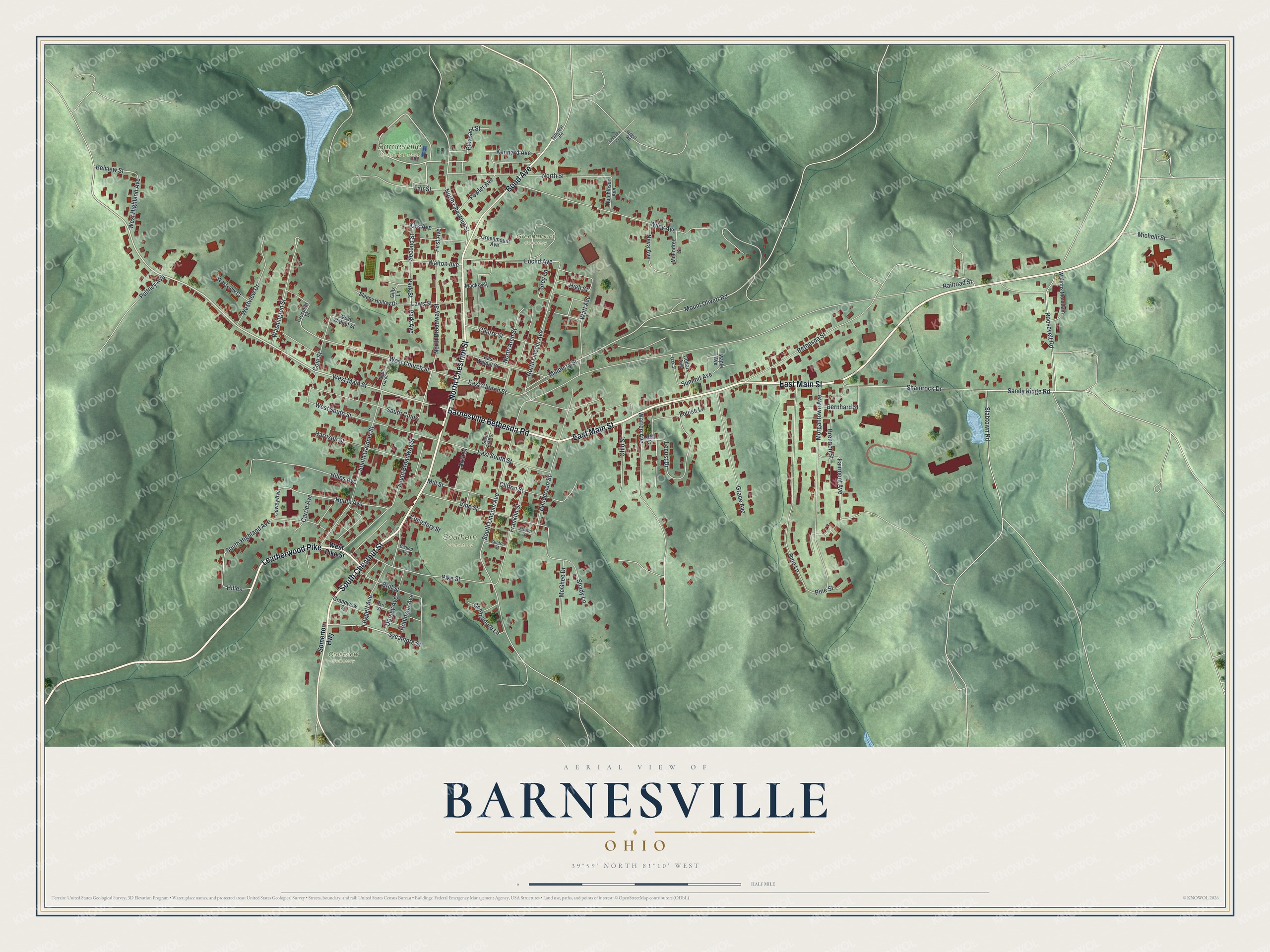
Created by KNOWOL in 2026, this print shows Barnesville as soft green hills with red buildings and pale roads winding between them. The title panel reads "Aerial View of Barnesville, Ohio" with 39°59' North 81°10' West printed below.
It fits well in a living room, a hallway or a home office. It's a good gift for someone who moved away but still thinks about East Main Street and Barnesville Memorial Park. Open the preview and find your own street. See sizes and frames for the Barnesville map.