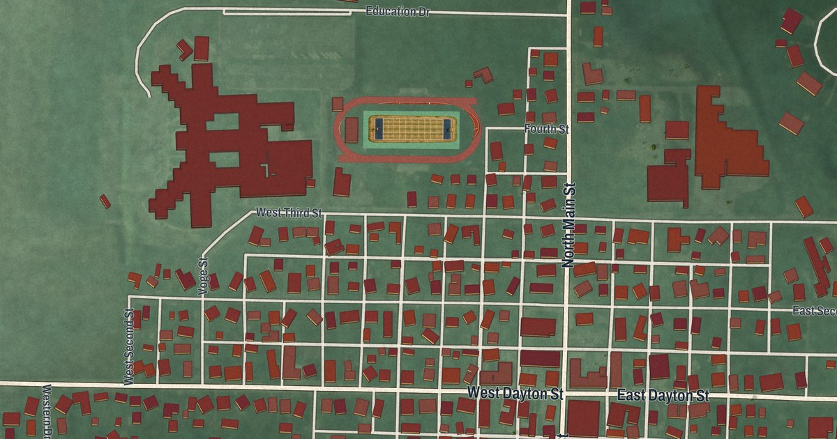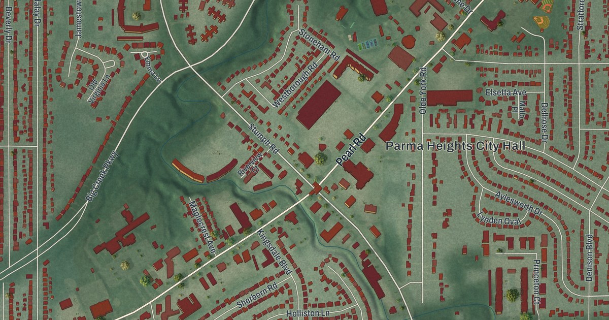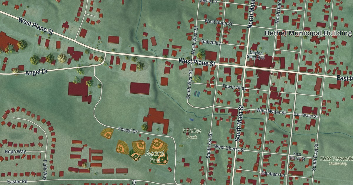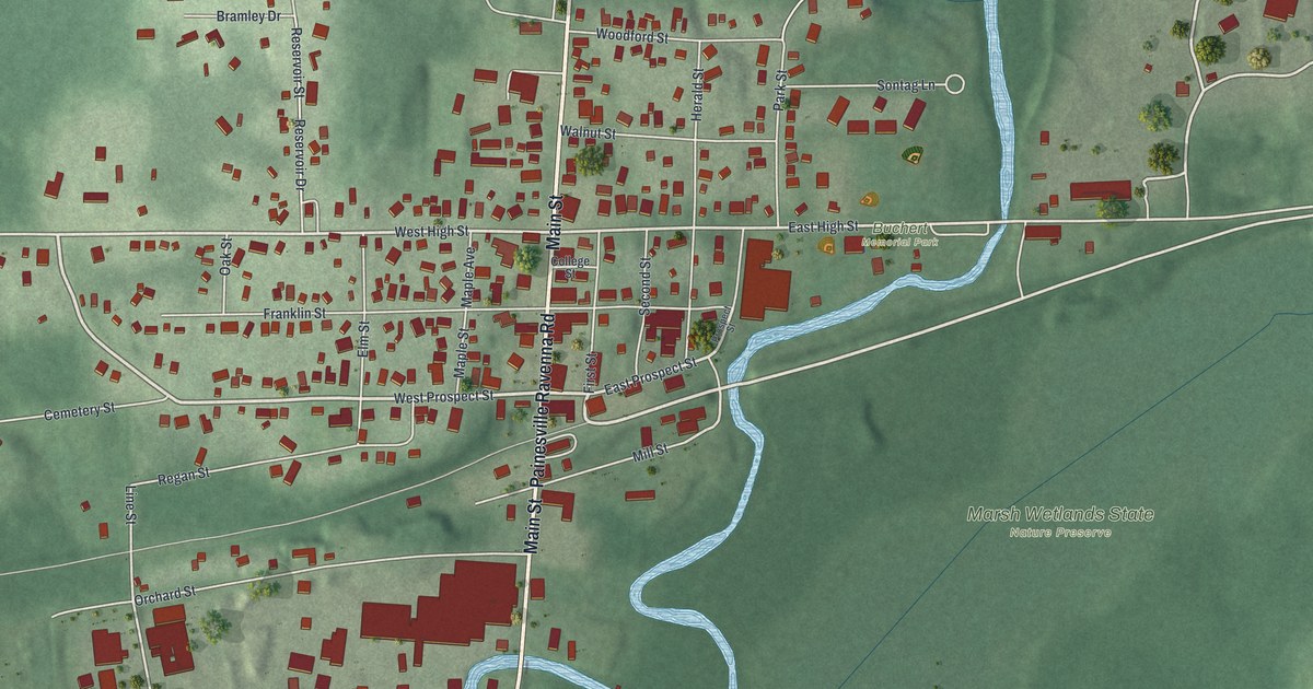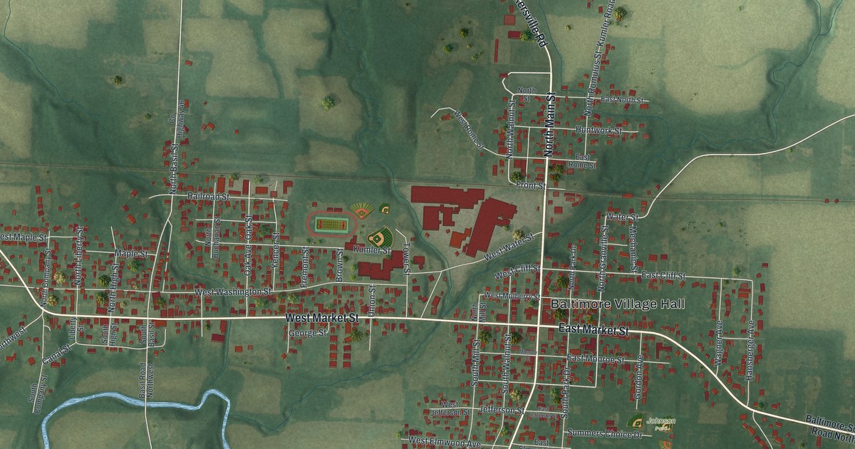
If you grew up in Baltimore, look for your old block here. This modern aerial view of Baltimore in Fairfield County, Ohio, uses modern data with a vintage feel. Red buildings fill the street grid, with green fields and blue creeks around town.
West Market Street and the Twin Cities
On this map you'll find North Main Street, South Main Street, East Market Street, West Market Street, Baltimore Village Hall, Alt Park, North Basil Street, South Basil Street, West Water Street, Canal Street, Railroad Street, North Walnut Street, and more. Each red shape is a building, so zoom in on the preview and look for yours.
Baltimore's story once belonged to two towns. The local history marker tells how the Ohio & Erie Canal passed under the Market Street Bridge. The canal and nearby Pawpaw Creek divided Swiss settlers in Basil from Virginia pioneers in New Market. New Market was called Baltimore by 1833. The two towns were dedicated just one day apart in March 1825.
Their rivalry often led to fights at the bridge. It lasted well into the next century, before the towns joined in 1947. On the map, look for West Market Street and West Water Street. The marker stands at their meeting point. North Basil Street and South Basil Street also give you a familiar name to look for while reading this part of Baltimore's past.
Baltimore Village Hall and the Streets Around Home
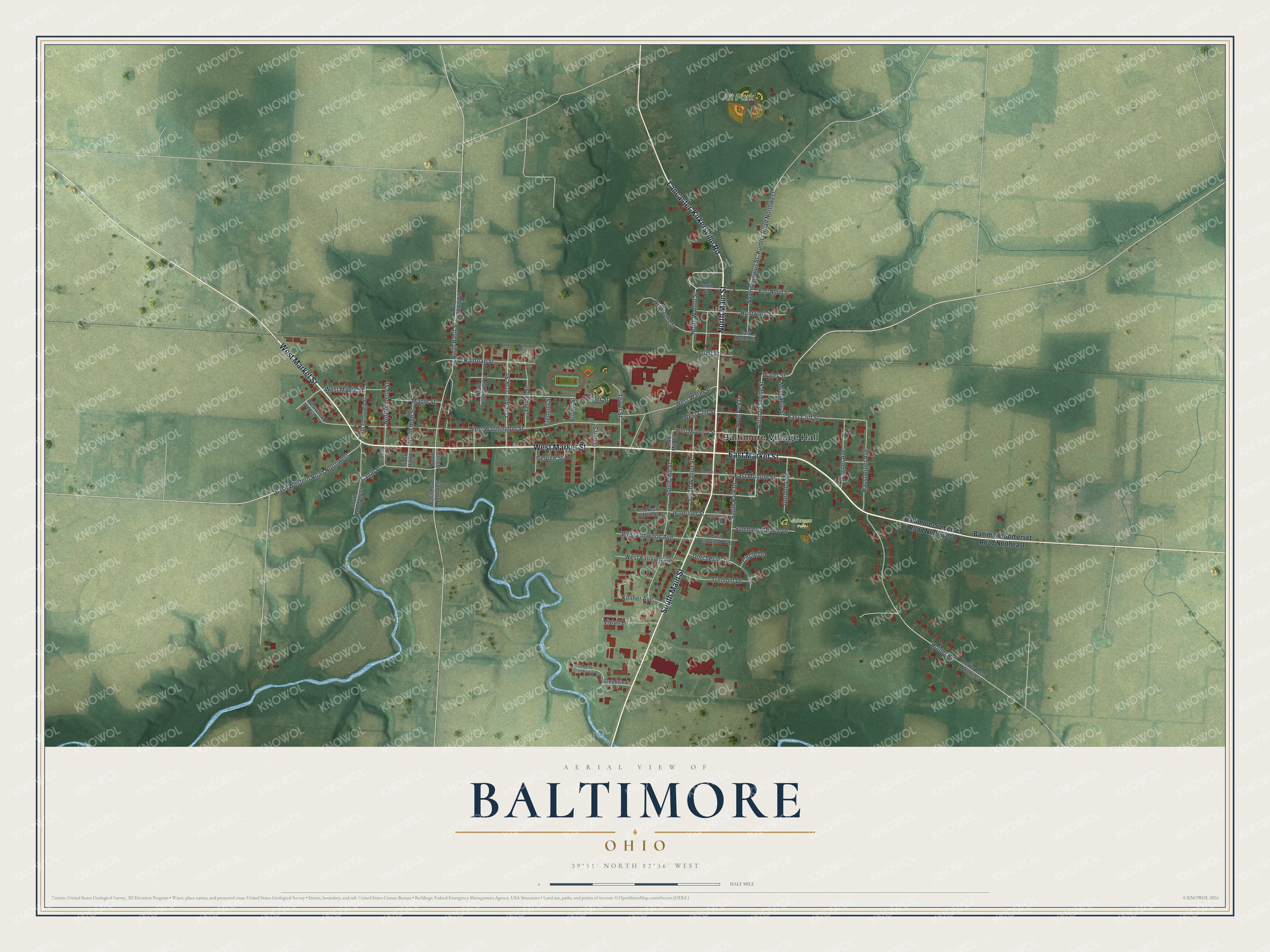
Created by KNOWOL in 2026, the print pairs green land with red buildings, pale roads and blue water. A cream border surrounds the view. The title panel reads AERIAL VIEW OF BALTIMORE, OHIO, with 39°51' NORTH 82°36' WEST below.
Hang it in a living room, office or entryway to keep home close. It's a thoughtful gift for someone who grew up near Alt Park or moved away from Baltimore. Open the preview and look for the streets you know. See sizes and frames for the Baltimore map.