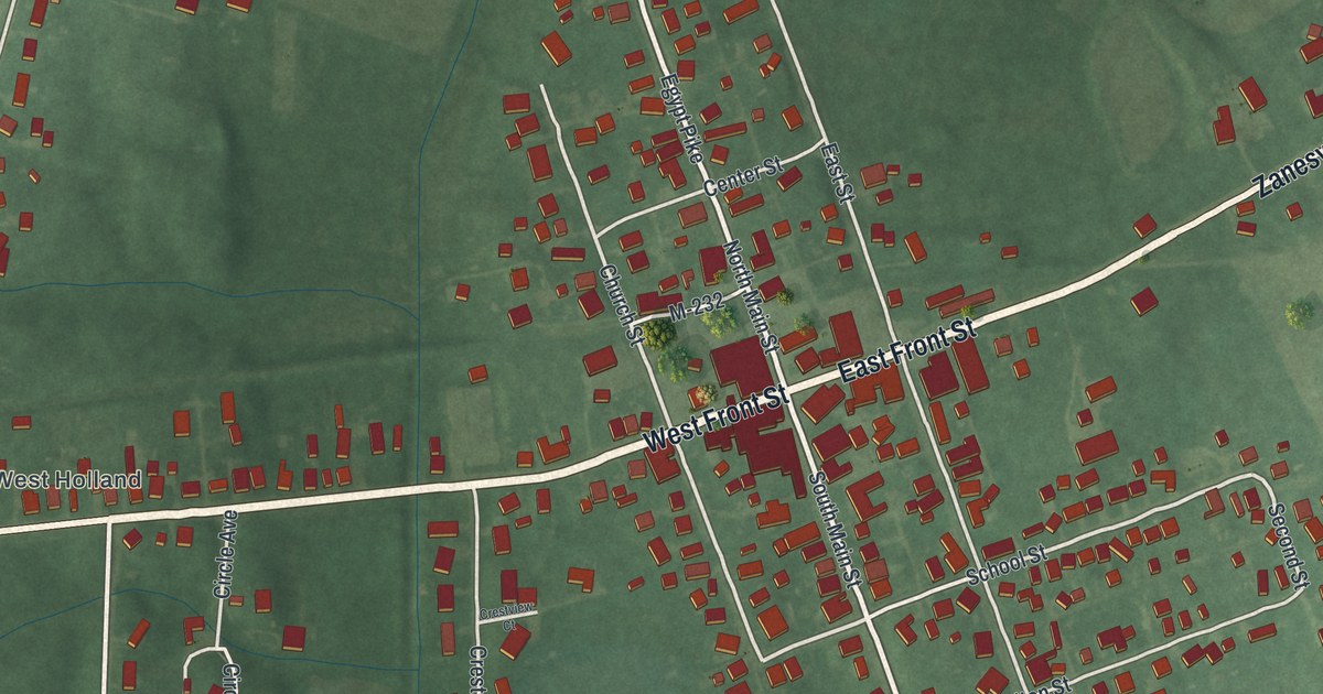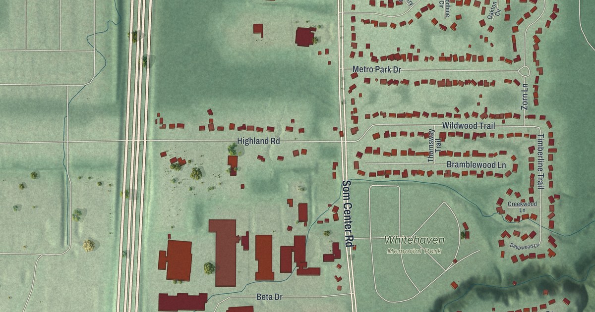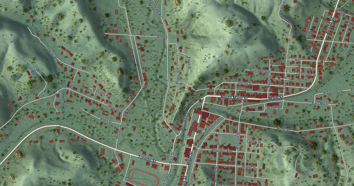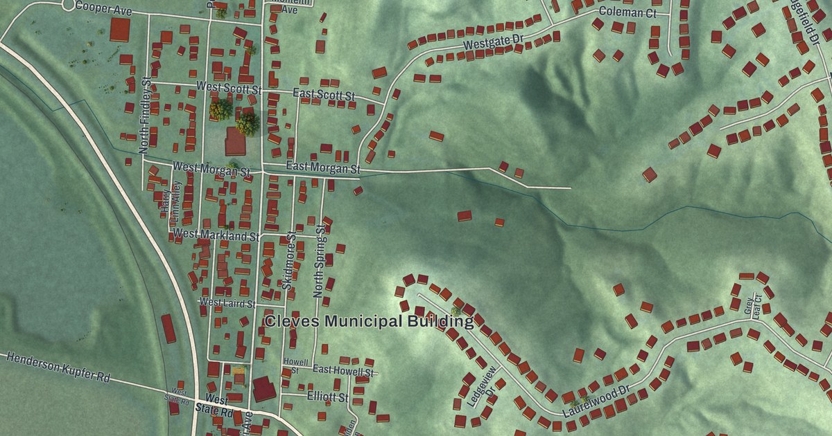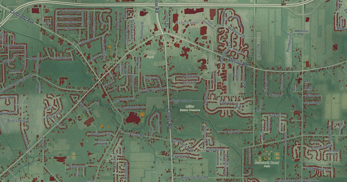
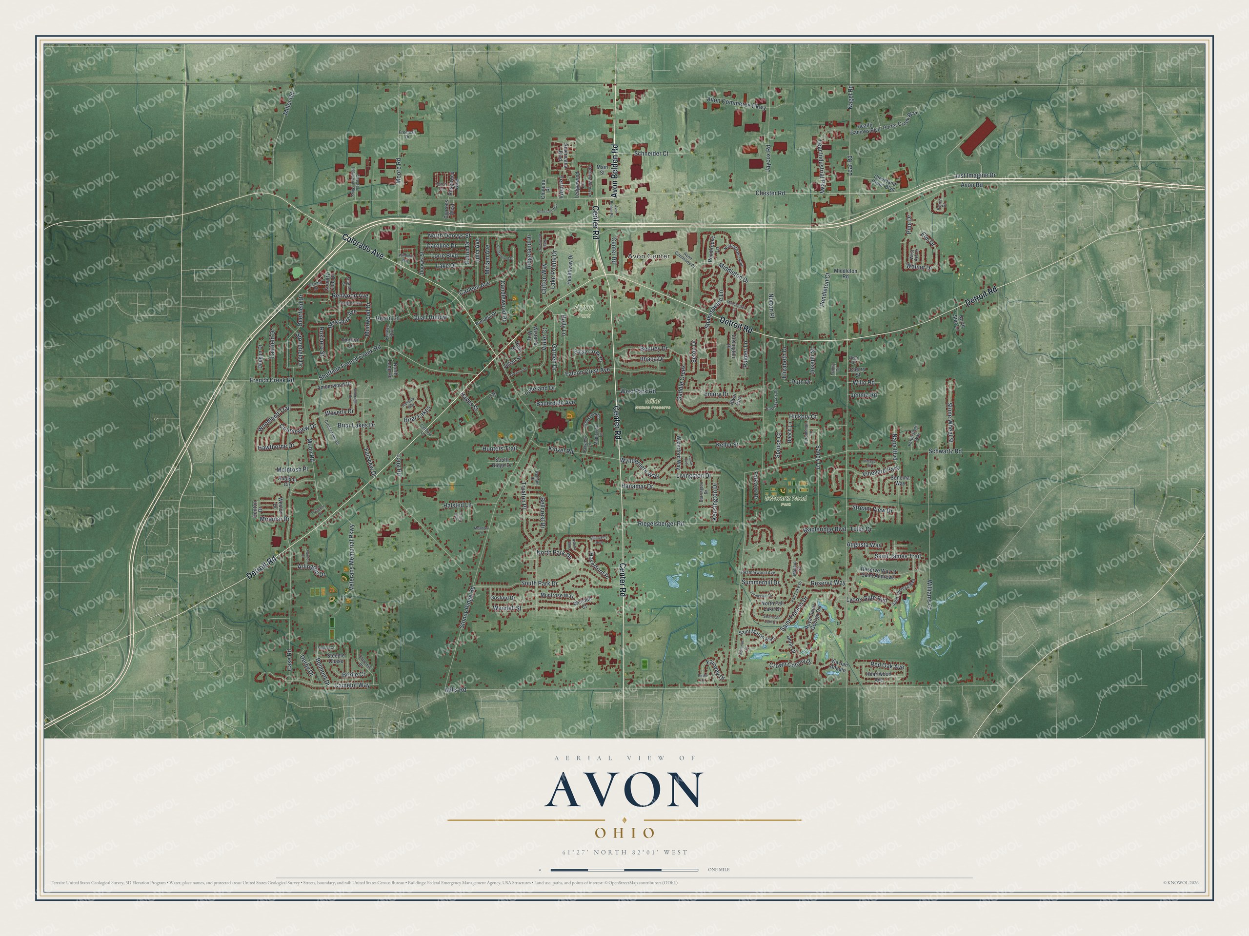
This beautifully detailed map of Avon, Ohio was created in 2026 using aerial imagery combined with modern topographical, census, street and landmark data. It’s a one-of-a-kind view of Avon that combines accurate data with a vintage aesthetic. The map shows every building in its true location, many of the roads carry their names, and the shaded topographic relief shows the shape of the land.
Explore an aerial view of Avon, Ohio
On the map you’ll find Avon Center, Avon Park, Miller Nature Preserve, and Schwartz Road Park, along with Center Road, Avon Belden Road, Detroit Road, Colorado Avenue, Chester Road, Just Imagine Drive, Lear Road, Walnut Drive, and more. If you look closely you can even find your house accurately drawn in its correct location. Zoom in on the preview to look for yours.
Did you know this piece of Avon, Ohio history?
Wilbur Cahoon led the first permanent settlers to Avon in 1814. They came from Montgomery County, New York. The township was organized in 1818 under the name Xeuma and was later called Troy. When Lorain County was created in 1824, the name changed to Avon.
Take a closer look at the Avon map
Street and place names on the Avon, Ohio map
These names are printed on the map of Avon, Ohio.
Places: Avon Center, Avon Park, Miller Nature Preserve, Schwartz Road Park and Vineyard Park.
Streets and roads: Center Road, Avon Belden Road, Detroit Road, Colorado Avenue, Chester Road, Just Imagine Drive, Lear Road, Walnut Drive, Nagel Road, Elm Drive, Bellcrest Drive, Jaycox Road.
More street names, A to Z
Addison Circle, Amberwood Drive, Ambridge Drive, Americana Boulevard, American Way, Arlington Drive, Astoria Way, Augusta Way, Avon Commerce Parkway, Avon Commons Drive, Avon Road, Barrington Drive, Bauerdale Avenue, Beech Lane, Bellerive Court, Belmont Drive, Bentley Drive, Berkshire Avenue, Billingsley Row, Birch Lane, Birdie Lane, Briar Lakes, Briar Lakes Drive, Bridle Court, Camelot Way, Candlewood Drive, Carleen Avenue, Carmel Drive, Caroline Drive, Case Road, Century Lane, Chateau Place, Cherry Street, Chester Industrial Parkway, Churchill Drive, Cleveland Clinic Boulevard, Clifton Way, Conrad Street, Country Club Drive, Courseview Drive, Covington Place, Creekview Lane, Crescent Drive, Crosscreek Drive, Crown Colony Drive, Cypress West, Daegan Drive, Deerfield Drive, Denton Drive, Derby Drive, Doovys Street, Doral Drive, Eagle Creek Drive, East Jaycox Street, Eaton Drive, Elizabeth Drive, Emory Drive, Fairfield Drive, Fairview Drive, Fairway Drive, Falcon Crest Avenue, Fall Lake Drive, Foxglen Avenue, Freeman Drive, French Creek Road, Garden Drive, Gosford Drive, Hale Street, Halsted Lane, Hanamar Drive, Harvest Drive, Hatteras Way, Haverford Place, Hawthorne Drive, Hayes Street, Health Campus Boulevard, Healthway Drive, Heartwood Avenue, Heatherwood Avenue, Heron Lane, Hickory Court, Hollow Wood Lane, Holly Lane, Hunters Trail, Ithaca Drive, Jennie Road, Joseph Street, Julia Avenue, Julian Street, Keller Street, Kensington Drive, Kenwyn Boulevard, Kinzel Road, Lake Drive, Lakeland Drive, Lake Pointe Drive, Lear Industrial Parkway, Ledgewood Lane, Lenox Oval, Livingston Drive, Long Road, Lorie Boulevard, Lyons Gate Run, Main Street, Mallard Cv, Manchester Lane, Mapleridge Boulevard, Mapleview Lane, McIntosh Place, Meadow Lane, Middleton Drive, Middleton Road, Miller Road, Mills Road, Mill Street, Miramar Drive, Miriam Avenue, Montrose Way, Moon Road, Moore Road, Muirwood Drive, Napa Boulevard, North Doovys Street, North Fall Lake Drive, North Long Road, North Park Drive, North Star Lane, Norton Place, Nottingham Parkway, Oakview Lane, Orchard Street, Palmer Lane, Parkview Drive, Peach Drive, Pear Street, Pelham Place, Pembrooke Lane, Pendleton Court, Persimmon Lane, Pine Drive, Porter Creek Way, Potterstone Way, Puth Drive, Quail Hollow, Red Oak Avenue, Renwood Avenue, Reserve Way, Reserve Way at Saint Andrews, Ridgeland Drive, Riegelsberger Road, River Run, Rosewood Boulevard, Roxboro Street, Royal Saint George Drive, Saddle Creek, Saint Francis Drive, Saint James Trail, Saint Maron Boulevard, Saint Theresa Boulevard, Sandalwood Drive, Sandy Lane, Schneider Court, Schwartz Road, Seton Drive, Shakespeare Lane, Sheffield French Creek Road, Sonoma Way, South Fall Lake Drive, South Park Drive, South Ridge Drive, Split Rail Lane, Springvale Circle, Spruce Court, Stallion Court, Steeple Chase, Stonefield Drive, Stone Wheel Street, Stoney Ridge Road, Stream View Drive, Summerhill Drive, Swinton Drive, Territory, Thorton Lane, Trinity Court, Truxton Place, Tullis Drive, Veterans Memorial Parkway, Via San Angelo, Vintage Circle, Violet Court, Waterford Way, Waverly Drive, Wendell Court, Wendell Street, West Ash Drive, Weston Drive, West Park Road, West Reserve Circle, Williams Court, Willo Road, Windmill Way, Wisteria Way, Woodland Trail, Wyndemere Way.
See the Avon, Ohio map on a wall
The Avon map as an 18 x 24 inch print in a black frame.

This beautifully detailed map of Avon makes an attractive addition to your office, library, or den, and it can even be used to teach children the geography and history of the area. It also makes a great gift for someone who left Avon and still calls it home. When you’re done exploring, click here to get your copy of the Avon map.