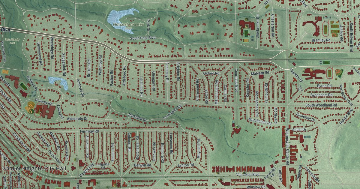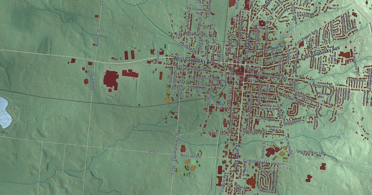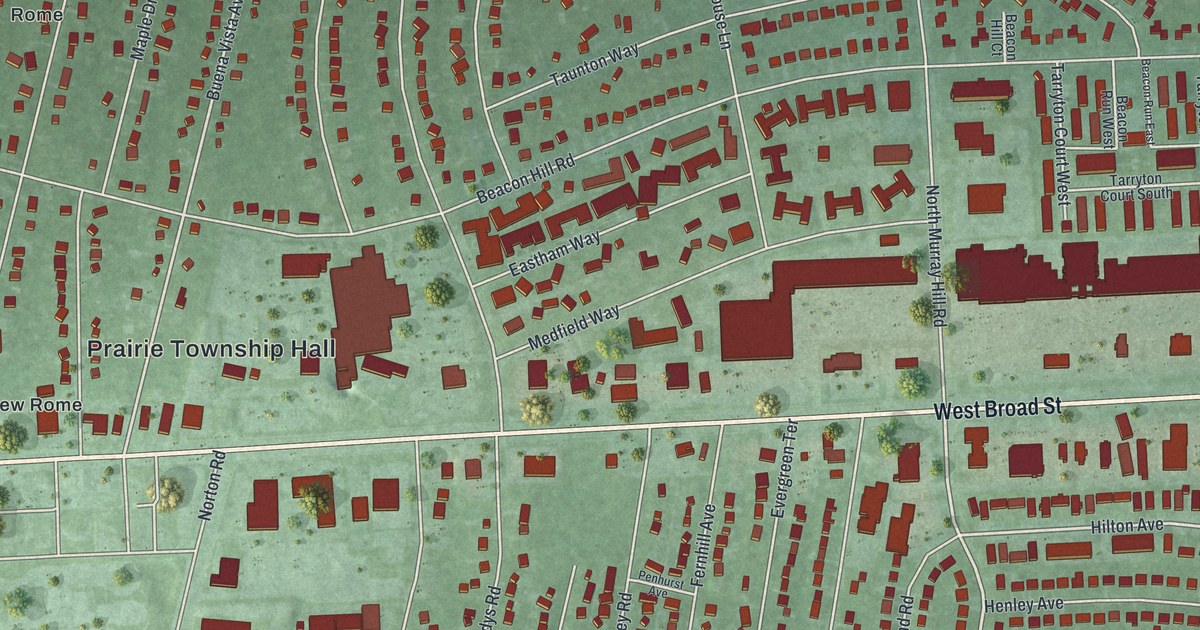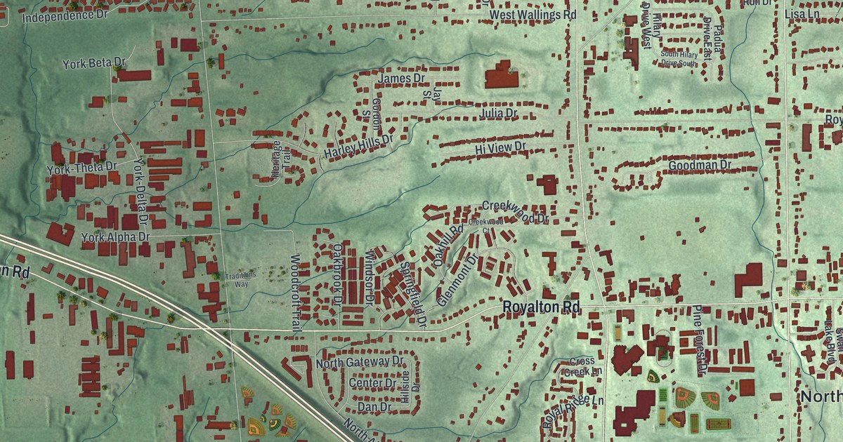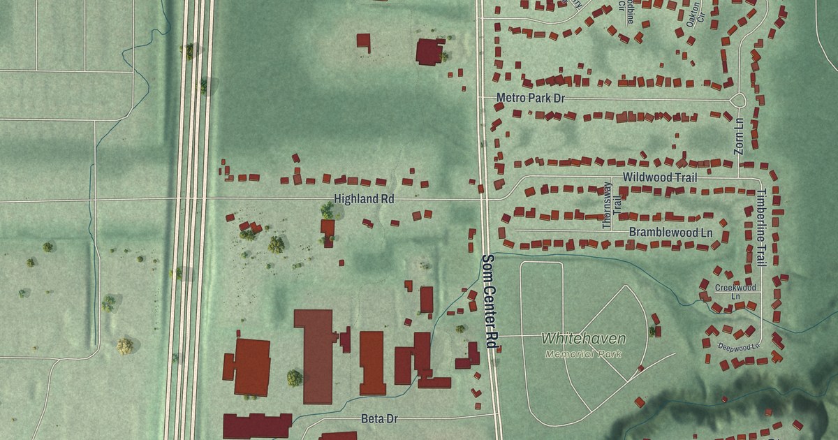
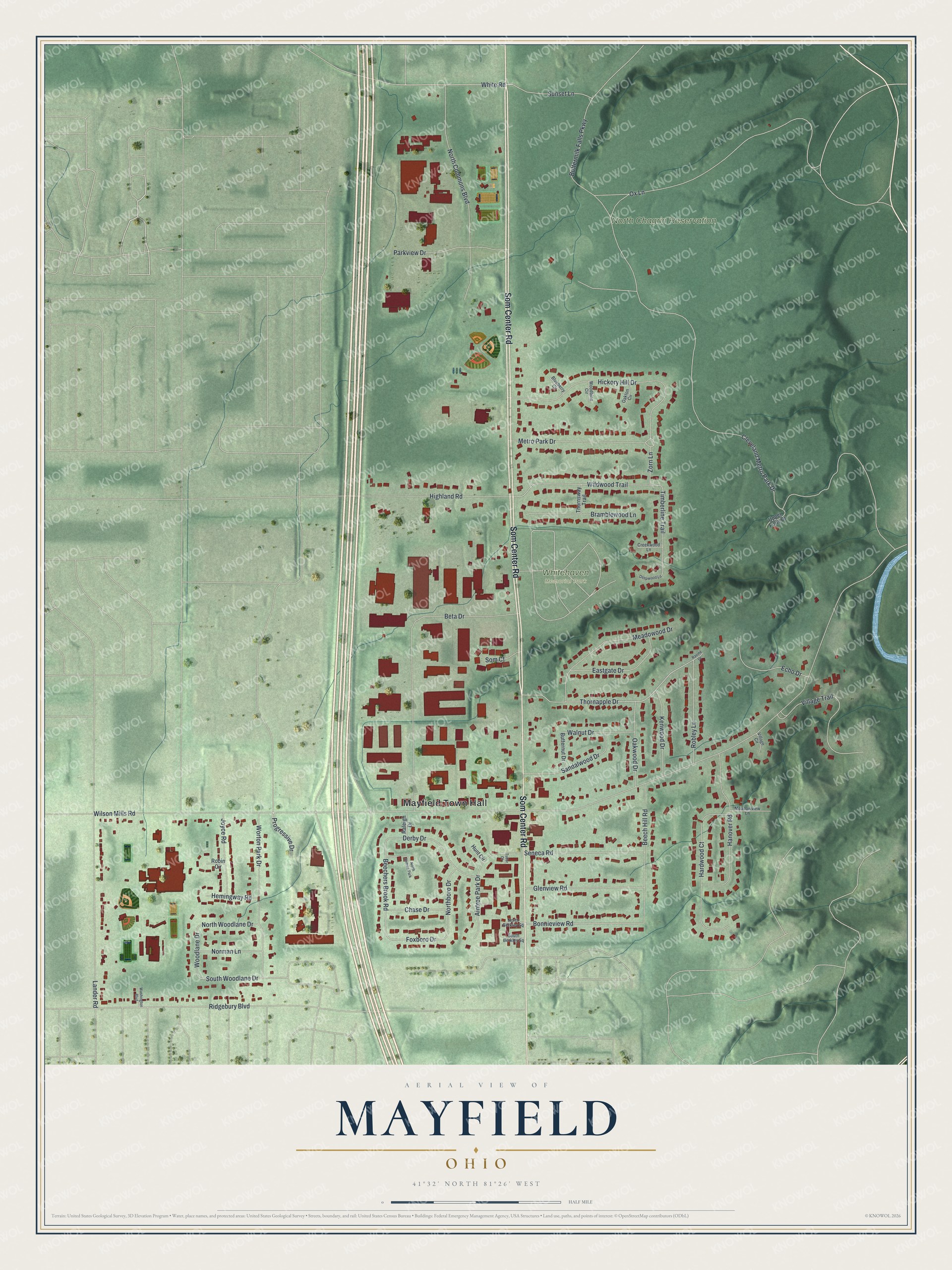
This beautifully detailed map of Mayfield, Ohio was created in 2026 using aerial imagery combined with modern topographical, census, street and landmark data. It’s a one-of-a-kind view of Mayfield that combines accurate data with a vintage aesthetic. The map shows every building in its true location, many of the roads carry their names, and the shaded topographic relief shows the shape of the land.
Explore an aerial view of Mayfield, Ohio
On the map you’ll find Mayfield Town Hall, North Chagrin Reservation, and Whitehaven Memorial Park, along with Som Center Road, Ox Lane, South Woodlane Drive, White Road, Sunset Lane, Thornapple Drive, Wildwood Trail, Zorn Lane, Foxboro Drive, and more. If you look closely you can even find your house accurately drawn in its correct location. Zoom in on the preview to look for yours.
Did you know this piece of Mayfield, Ohio history?
Several families from Ontario County, New York, began settling the Mayfield area in 1805. The modern village later separated from the township and incorporated in 1921. That’s from the Encyclopedia of Cleveland History.
Take a closer look at the Mayfield map
Street and place names on the Mayfield, Ohio map
These names are printed on the map of Mayfield, Ohio.
Places: Mayfield Town Hall, North Chagrin Reservation, Whitehaven Memorial Park and North Aintree Park.
Streets and roads: Som Center Road, Ox Lane, South Woodlane Drive, White Road, Sunset Lane, Thornapple Drive, Wildwood Trail, Zorn Lane, Foxboro Drive, Woodlane Drive, Beechers Brook Road, Timberline Trail.
More street names, A to Z
Aintree Park Drive, Beech Hill Road, Beta Drive, Blueberry Circle, Bonnieview Road, Bramblewood Lane, Buttermilk Falls Parkway, Butternut Drive, Chase Drive, Cleveland Metro Park Drive, Creekwood Lane, Deepwood Lane, Derby Drive, Eastgate Drive, Echo Drive, Glenview Road, Hanover Road, Hardwood Court, Hemingway Road, Hickory Hill Drive, Highland Road, Hunt Circle, Joyce Road, Kenwood Drive, Lander Road, Meadowood Drive, Meadowview Lane, Metro Park Drive, Norman Lane, North Berkley Square, Northboro Drive, North Commons Boulevard, North Woodlane Drive, Oakton Circle, Oakwood Drive, Parkview Drive, Progressive Drive, Raleigh Drive, Ravine Drive, Ridgebury Boulevard, Robin Circle, Robley Lane, Sandalwood Drive, Seneca Road, Som Court, South Berkley Square, Thornsway Trail, Tudor Court, Upper Forty Drive, Village Circle, Village Trail, Walnut Drive, Washington Boulevard, Wilson Mills Road, Woodbine Circle, Worton Park Drive.
See the Mayfield, Ohio map on a wall
The Mayfield map as an 18 x 24 inch print in a black frame.

This beautifully detailed map of Mayfield makes an attractive addition to your office, library, or den, and it can even be used to teach children the geography and history of the area. It also makes a great gift for someone who left Mayfield and still calls it home. When you’re done exploring, click here to get your copy of the Mayfield map.