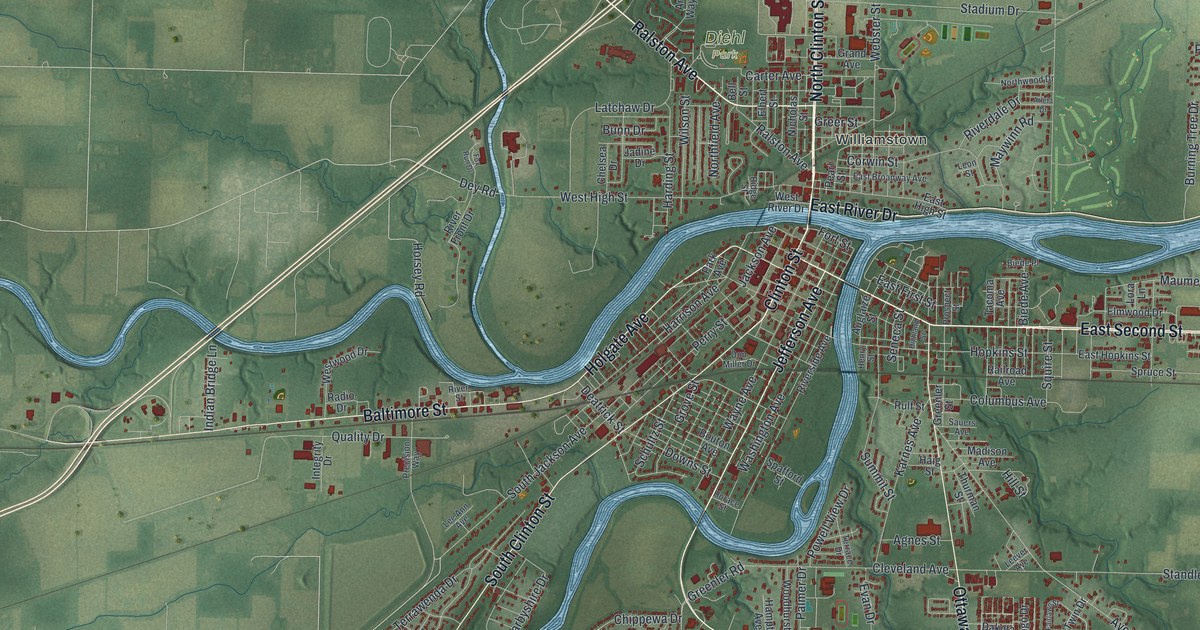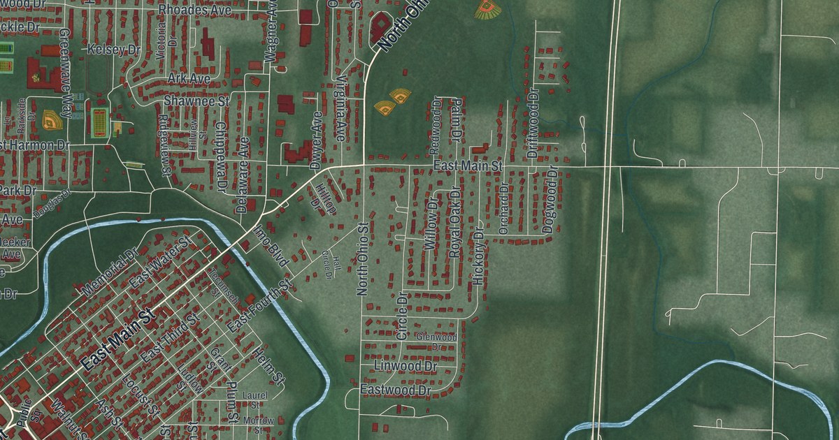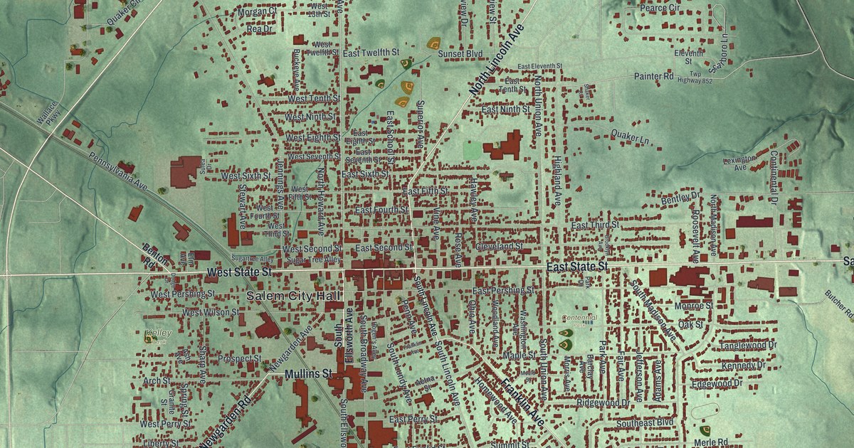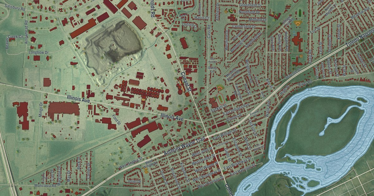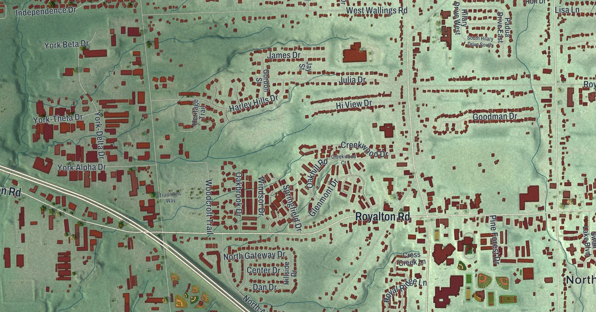
If you grew up in North Royalton, look for your old block. This modern aerial view of North Royalton in Cuyahoga County, Ohio, uses modern data with a vintage feel. Red building shapes fill the neighborhoods, with green hills and blue streams between them. Ridge Road, Royalton Road, and Mill Stream Run Reservation give you familiar places to start.
Ridge Road and the North Royalton Green
On this map you'll find Ridge Road, Royalton Road, State Road, Bennett Road, York Road, Albion Road, Wallings Road, Royalwood Road, Akins Road, Boston Road, Mill Stream Run Reservation, Bennetts Corners, and more. Each red shape is a building, so zoom in on the preview and look for yours.
The Green Heart of North Royalton marker tells how the town's center took shape. In 1825, John Watkins sold five acres to create the Green. The land gave the township room for a cemetery, public square, and public buildings. Ridge, Royalton, and Bennett Roads bound the Green. Find those three printed road names to place this story on the map.
North Royalton was once known for milk, cheese, and nurseries. After World War II, the small farm community became a Cleveland suburb. It became a city in 1961. Today's map lets you see the streets and clusters of homes around that old center. You can pick out one block, then see how it fits into the wider town.
Keep North Royalton and Mill Stream Run Close

Created by KNOWOL in 2026, the print pairs green shaded hills with red buildings, blue waterways, and a cream border. The title panel reads AERIAL VIEW OF, NORTH ROYALTON, OHIO, and 41°19' NORTH 81°44' WEST.
It's a good fit for a living room, home office, or entryway. Give it to someone who grew up near Royalton Road or spent time at Mill Stream Run Reservation. Open the preview and look for the street you'd show them first. See sizes and frames for the North Royalton map.