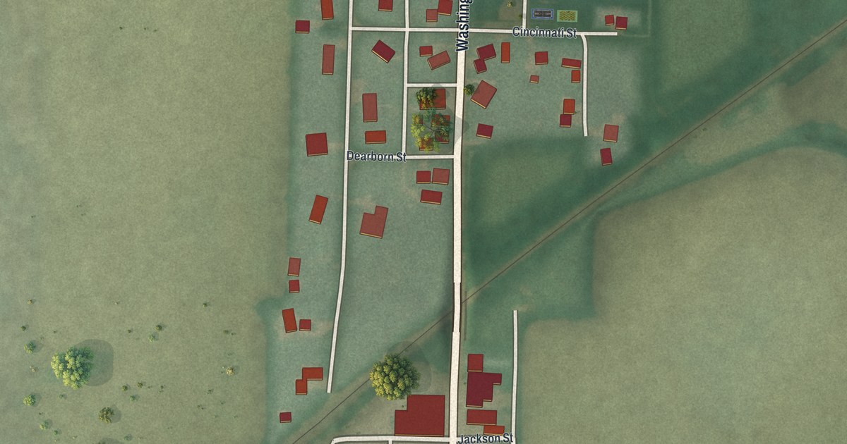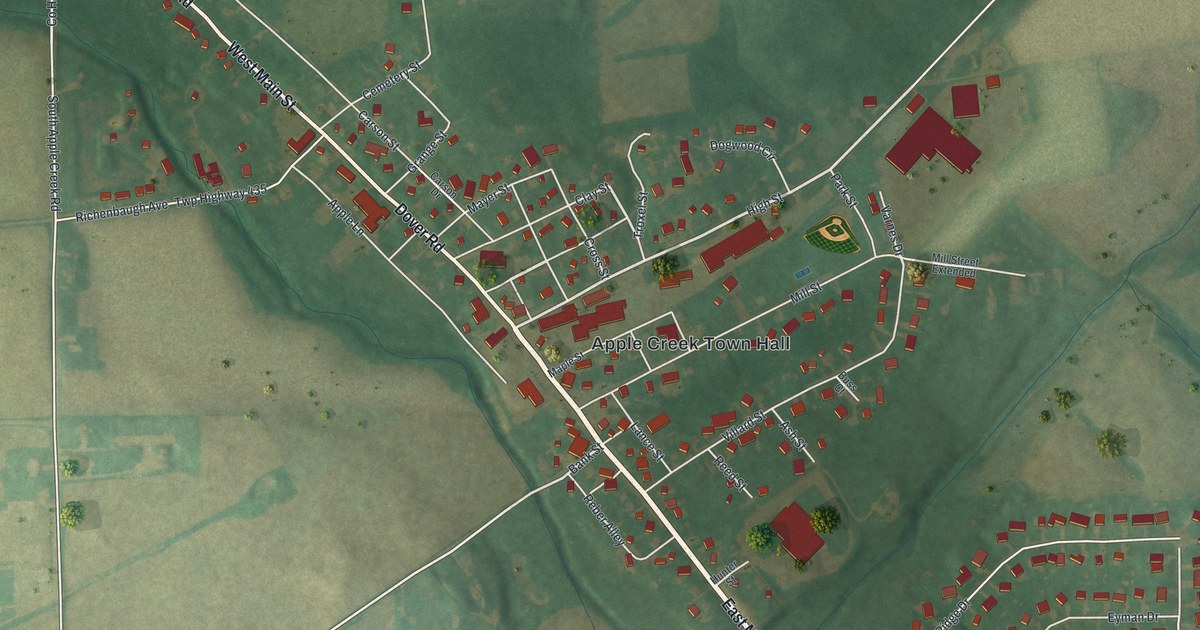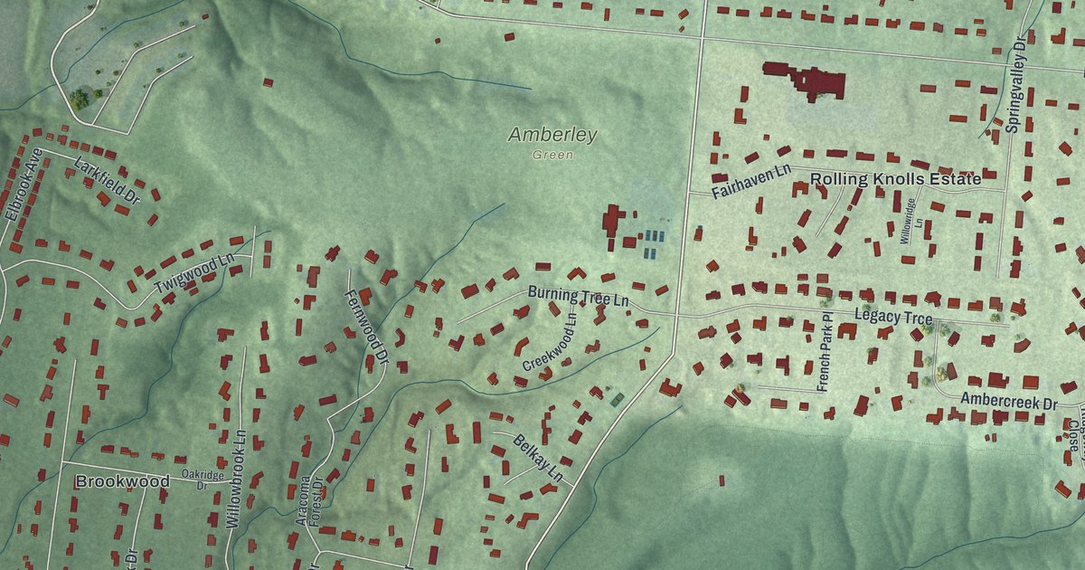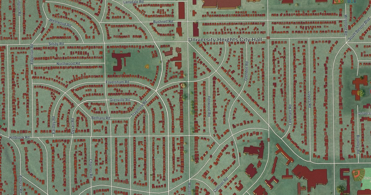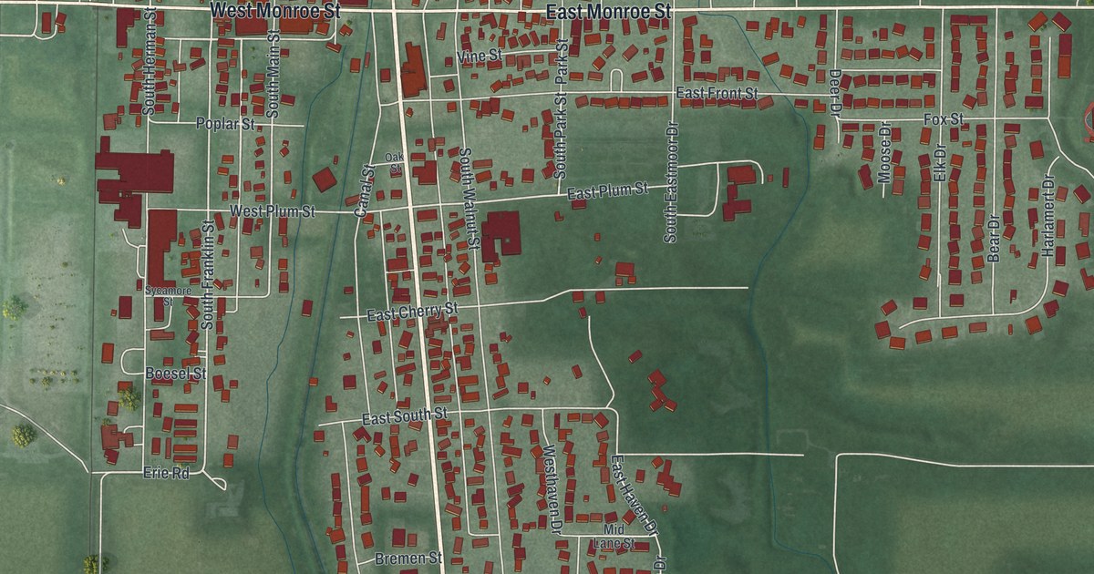
If you grew up in New Bremen, look for your old block here. This modern aerial view shows New Bremen in Auglaize County, Ohio, using modern data with a vintage feel. Red building shapes fill the town's streets, with green land around them. You can pick out familiar blocks and the open spaces between them.
New Bremen and the Miami & Erie Canal
On this map you'll find West Monroe Street, East Monroe Street, North Washington Street, South Washington Street, North Main Street, South Main Street, Canal Street, North Franklin Street, East Plum Street, Kuenning Dicke Natural Area, and more. Each red shape is a building, so zoom in on the preview and look for yours.
New Bremen once stood at the end of a growing canal. The town's canal marker tells how work continued north from here. The Miami Extension Canal began in 1833. Hard building work, disease, and the Panic of 1837 held it back. In June 1845, the packet boat Banner made the full trip. It traveled almost 250 miles from Cincinnati to Toledo in three days.
New Bremen was about halfway along that route. The waterway took the name Miami & Erie Canal in 1849. It carried trade, military transport, and mail before the railroad era. The canal stayed in use until 1913. The marker stands at West Monroe Street and South Washington Street. Find those printed names on the map to place this part of town's story.
West Monroe Street and the streets of home

Created by KNOWOL in 2026, this print pairs green land with red buildings and pale roads. A cream border surrounds the view. The title panel reads AERIAL VIEW OF, NEW BREMEN, OHIO, and 40°26' NORTH 84°23' WEST.
Hang it in a living room, home office, or entryway. It's a gift for someone who grew up near West Monroe Street or moved away from New Bremen. Open the preview and take a closer look at the streets you know. See sizes and frames for the New Bremen map.