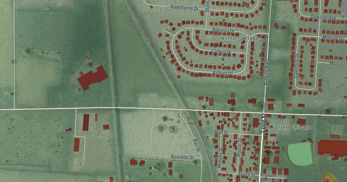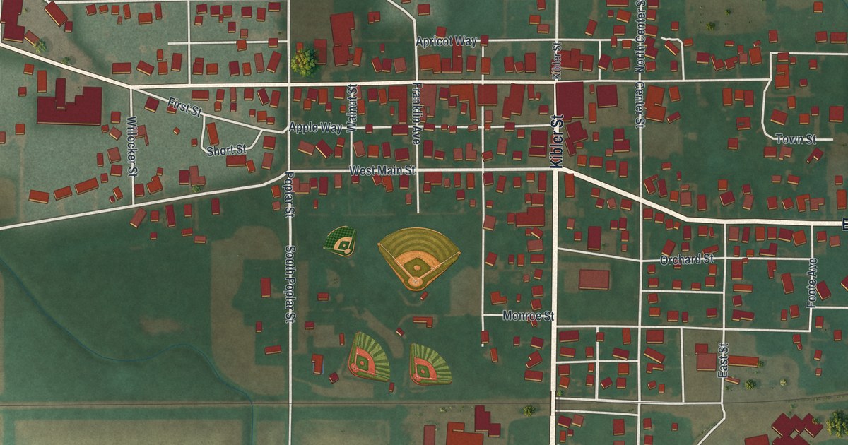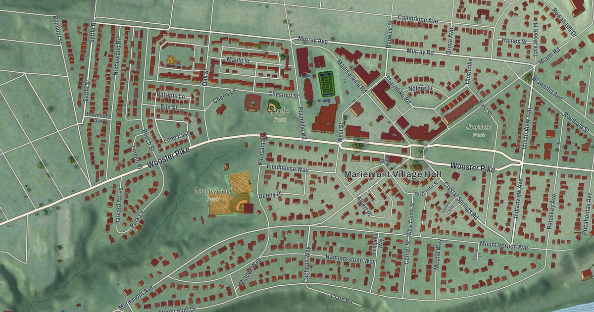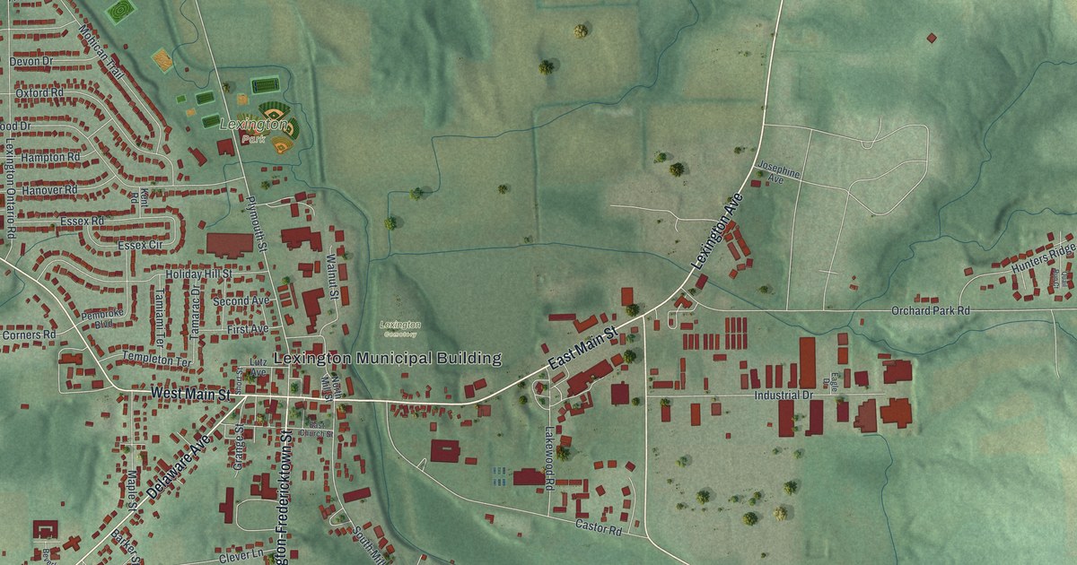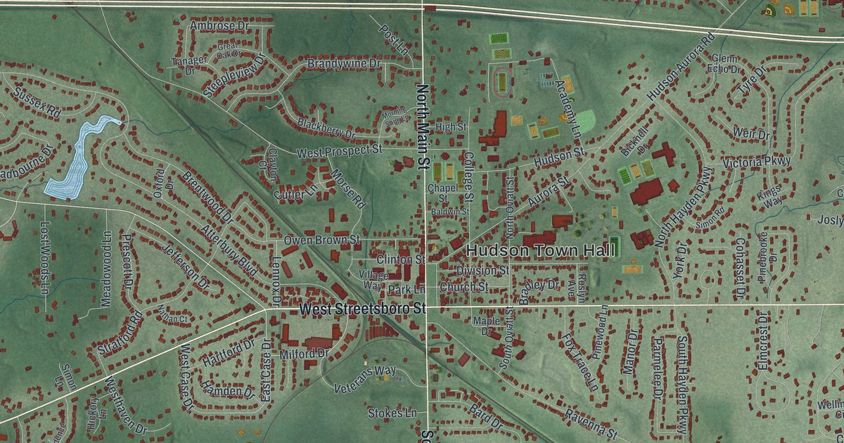
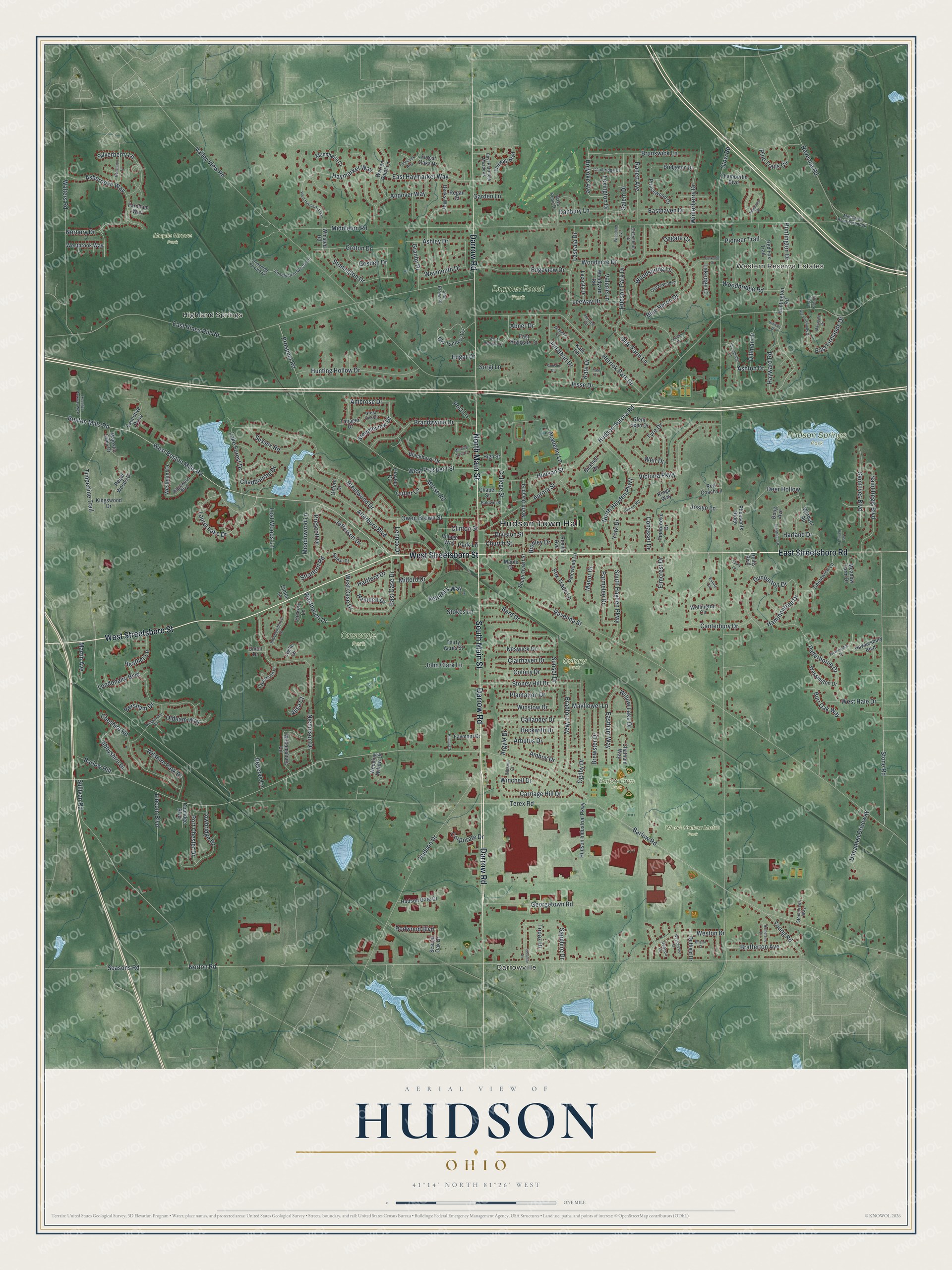
This beautifully detailed map of Hudson, Ohio was created in 2026 using aerial imagery combined with modern topographical, census, street and landmark data. It’s a one-of-a-kind view of Hudson that combines accurate data with a vintage aesthetic. The map shows every building in its true location, many of the roads carry their names, and the shaded topographic relief shows the shape of the land.
Explore an aerial view of Hudson, Ohio
On the map you’ll find Hudson Town Hall, Western Reserve Estates, Highland Springs, Barlow Farm Park, Cascade Park, Colony Park, Darrow Road Park, Hudson Springs Park, Maple Grove Park, Wood Hollow Metro Park, and Darrowville, along with Darrow Road, and more. If you look closely you can even find your house accurately drawn in its correct location. Zoom in on the preview to look for yours.
Did you know this piece of Hudson, Ohio history?
From Warren Jenkins’s 1841 Ohio Gazetteer, and Travelers Guide: "Hudson, a post township of Portage county, 13 miles northwesterly from Ravenna, and 6 from the Ohio canal. Population in 1830, 775. A college was chartered in this town, in January, 1826, called the Western Reserve College."
Take a closer look at the Hudson map
Street and place names on the Hudson, Ohio map
These names are printed on the map of Hudson, Ohio.
Places: Hudson Town Hall, Western Reserve Estates, Highland Springs, Barlow Farm Park, Cascade Park, Colony Park, Darrow Road Park, Hudson Springs Park, Maple Grove Park, Wood Hollow Metro Park and Darrowville.
Streets and roads: Darrow Road, West Streetsboro Street, East Streetsboro Road, North Main Street, South Main Street, Stone Road, Laurel Lake Drive, Boston Mills Road, West Boston Mills Road, East Case Drive, Barlow Road, Norton Road.
More street names, A to Z
Abbyshire Drive, Abner Drive, Academy Lane, Alexandra Drive, Alisa Court, Amboy Drive, Ambrose Drive, Andover Way, Arbutus Drive, Argyle Drive, Ashbrooke Way, Ashley Drive, Ashton Drive, Atterbury Boulevard, Aurora Street, Baldwin Street, Bard Drive, Barlow Hill, Beckwith Drive, Bendleton Drive, Benjamin Circle, Berks Way, Bersham Drive, Bicknell Drive, Blackberry Drive, Blaikley Drive, Blue Heron Drive, Bradford Way, Bradley Drive, Brafferton Avenue, Brandywine Drive, Brentwood Drive, Brewster Drive, Bridgeton Drive, Bridgewater Boulevard, Bristol Court, Brunswick Lane, Burr Oak Way, Callander Drive, Cambridge Drive, Canterbury Drive, Carriage Hill Drive, Cedarwood Court, Chadbourne Drive, Chamberlin Boulevard, Chapel Street, Chatham Way, Cheshire Road, Chestwick Lane, Church Street, Clairhaven Drive, Clayton Court, Clinton Street, Cohasset Drive, College Street, Colony Drive, Connecticut Woods Drive, Coolidge Boulevard, Corporate Drive, Crown Point Drive, Cutler Lane, Danbury Lane, Deacon Court, Deer Hollow, Dillman Drive, Division Street, Doug Avenue, Duffield Drive, Dunbarton Drive, East Firelands Drive, Eastham Way, Easthaven Drive, East Haymarket Way, East Highgate Court, East Hines Hill Road, East Partridge Meadows, Ebury Lane, Edgar Drive, Edgeview Drive, Elmcrest Drive, Evergreen Drive, Executive Parkway, Executive Parkway West, Exline Circle, Fairway Boulevard, Farnham Way, Faymont Drive, Forest Oaks Drive, Foxden Drive, Fox Trace Lane, Garden Lane, Georgetown Road, Gibson Court, Glenn Echo Drive, Goshen Drive, Granby Drive, Great Oak Drive, Greenthorn Drive, Groton Drive, Hamden Drive, Hammontree Drive, Harland Drive, Hartford Drive, Hawkesbury Boulevard, Haymarket Way, Hayward Road, Heather Lane, Herrick Circle, Herrick Park Drive, Hickory Lane, High Street, Holland Drive, Hollis Boulevard, Holyoke Avenue, Hudson Aurora Road, Hudson Drive, Hudson Gate Drive, Hudson Industrial Parkway, Hudson Park Drive, Hudson Street, Humelsine Drive, Hunting Hollow Drive, Huntington Drive, Huntington Road, Independence Drive, Jefferson Drive, Jesse Drive, John Brown Place, John Clark Lane, Jonathan Drive, Joslyn Lane, Kate Circle, Kate Court, Kate Drive, Keswick Drive, Kings Way, Kingswood Drive, Lacosta Drive, Lakedge Court, Lake Forest Drive, Lascala Drive, Last Valley Lane, Laurawood Lane, Leeway Drive, Lennox Drive, Leslie Drive, Lexington Drive, Lincoln Boulevard, Londonairy Boulevard, Lost Woods Lane, Majestic Oaks Drive, Mannheim Court, Manor Drive, Maple Drive, Martin Avenue, Mayapple Drive, Mayflower Lane, Meadow Farm Drive, Meadowood Lane, Middleton Road, Middleton Road Extended, Milford Drive, Morning Song Lane, Morse Road, Nathan Court, Nicholson Drive, Norbury Drive, North Hayden Parkway, North Oviatt Street, Ogilby Drive, Olde Farm Lane, Oldham Way, Old Tannery Circle, Owen Brown Street, Oxford Drive, Oxgate Court, Paderborne Drive, Park Lane, Parkside Drive, Parmelee Drive, Pheasants Ridge, Pickerington Drive, Pinebrooke Drive, Pine Trails Circle, Pinewood Lane, Pioneer Trail, Plantation Drive, Port Chester Drive, Post Lane, Prescott Drive, Princewood Drive, Prospect Road, Ranett Avenue, Ravenna Road, Ravenna Street, Red Coach Lane, Red Fox Trail, Redwood Boulevard, Regal Woods Drive, Regan Court, Reserve Lane, Ridgewood Boulevard, Roslyn Avenue, Saint Ives Boulevard, Saint Regis Boulevard, Salem Drive, Samson Circle, Sapphire Drive, Scarlet Oak Drive, Seasons Road, Silverberry Lane, Simon Lane, Simon Road, Sodalite Drive, Sorgi Lane, South Hayden Parkway, South Oviatt Street, Steepleview Drive, Stokes Lane, Stonebridge Court, Stonecreek Way, Stoney Hill Drive, Stonington Drive, Stow Road, Stratford Road, Sullivan Road, Sunset Drive, Sussex Road, Tanager Drive, Terex Road, Thirty Acres Street, Timberline Trail, Topaz Drive, Towbridge Drive, Tyre Drive, Union Drive, Unnamed Driveway, Unnamed Private Drive, Valerie Lane, Valley View Road, Veterans Way, Victoria Parkway, Village Way, Wake Robin Drive, Walters Road, Warren Point Lane, Weeping Willow Drive, Weir Drive, Wellington Circle, Wessington Drive, Westbrook Way, West Case Drive, Westchester Court, West Firelands Drive, West Hale Drive, Westhaven Drive, West Haymarket Way, West Highgate Court, Weston Drive, Westpoint Drive, West Prospect Street, Weymouth Drive, Williamsburg Circle, Willow Lake Drive, Wilshire Park Drive, Winchell Drive, Windsor Road, Winslow Drive, Winsted Road, Winterberry Drive, Woodacre Drive, Woodbridge Road, Woodland Avenue, Woodspring Lane, Woodyard Road, Yennicook Way, York Drive, Young Road.
See the Hudson, Ohio map on a wall
The Hudson map as an 18 x 24 inch print in a black frame.

This beautifully detailed map of Hudson makes an attractive addition to your office, library, or den, and it can even be used to teach children the geography and history of the area. It also makes a great gift for someone who left Hudson and still calls it home. When you’re done exploring, click here to get your copy of the Hudson map.