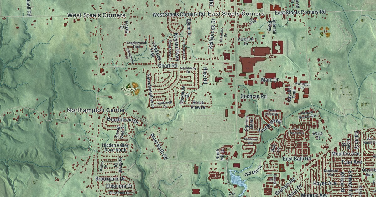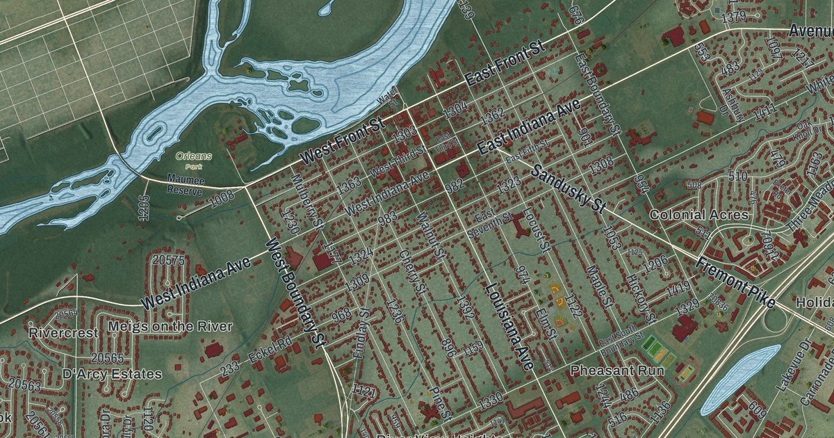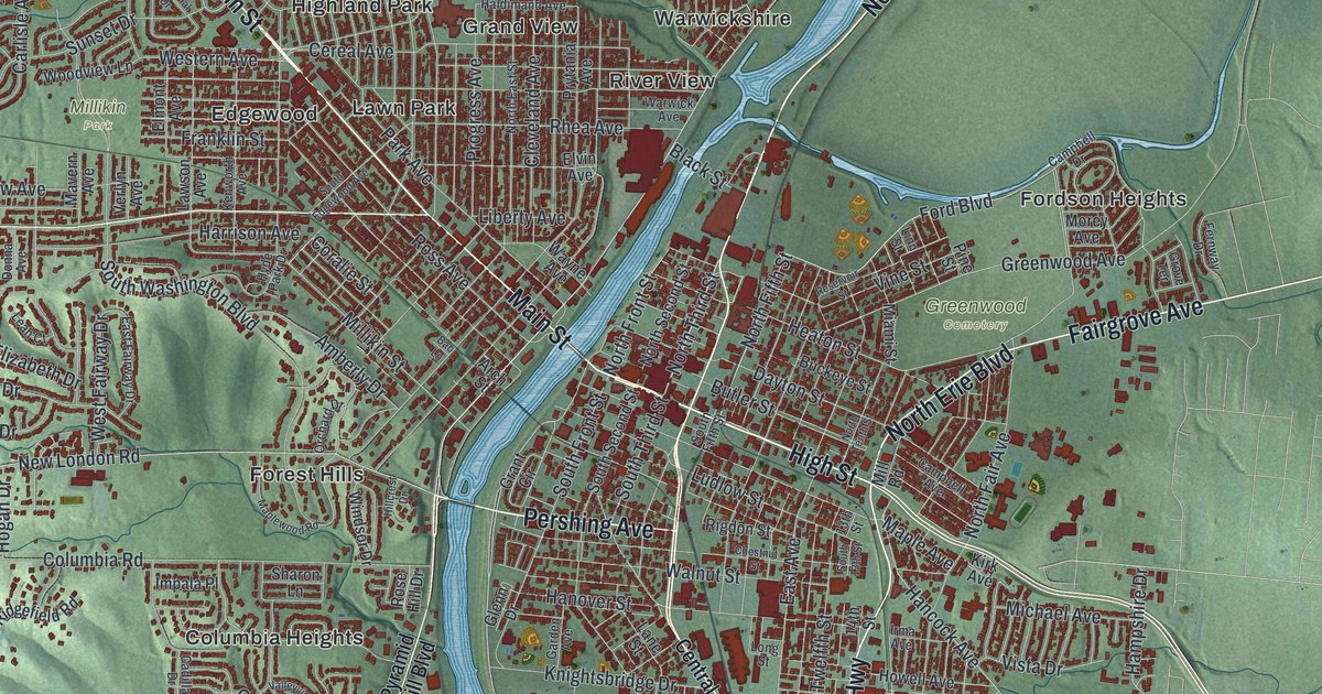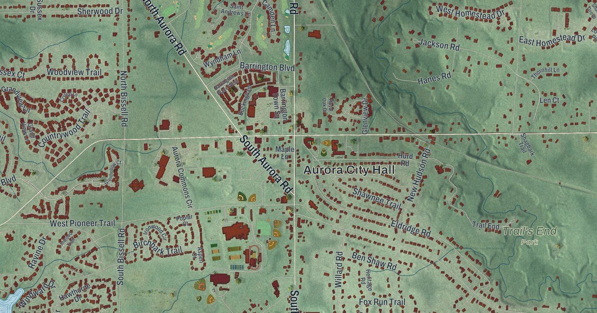
If you grew up in Aurora, spent summer days at Geauga Lake, or still have family off Chillicothe Road, this map has plenty for you to find. It's a modern aerial view of Aurora in Portage County, Ohio, built from modern data and given a vintage look. More than 8,000 buildings are marked in deep red on soft green hills. A big blue lake runs down the upper left side, and the woods of Tinkers Creek State Park fill the lower left corner.
Aurora City Hall, Chillicothe Road and Geauga Lake
Start at Aurora City Hall, printed near the middle of the sheet. Two big roads cross right beside it. North Chillicothe Road comes down from the top, and South Chillicothe Road keeps going south. East Garfield Road runs out to the right edge, and West Garfield Road heads off to the left. Now follow North Aurora Road as it slants up to the top left. Near the corner, the Geauga Lake label sits over a small grid of streets. Look for California, Ohio, Pennsylvania and Michigan Streets there.
A marker says Geauga Lake was first called Giles Pond. The park that became Geauga Lake Park opened in 1887 and closed in 2007. Back at City Hall, head east. Just east of City Hall, New Hudson Road meets Shawnee Trail and Hurd Road. Farther out, Trail's End Park sits by Trail End, and Hartman Park sits by Townline Road. Now go south on South Chillicothe Road. You'll pass East Mennonite Road, then a cluster of big red buildings along Aurora Industrial Park Drive, Harris Drive and Campus Drive. Out to the lower left, Old Mill Road passes Liberty Park, just above Tinkers Creek State Park. Many roads are labeled, and each red shape marks a building. Zoom in on the preview and look for your own.
When farmers paid in cheese on South Chillicothe Road
In the 1800s, Aurora was part of a cheese-making region called "Cheesedome," as the Silver Creek Cheese Factory marker explains. James Willard Converse opened a store at 10 South Chillicothe Road in 1825. His daybook still survives. It shows that people bought whiskey often, and even more on George Washington's birthday. Hopson Hurd Sr. bought the store in 1845. Local farmers paid their bills with their own homemade cheese. Hurd kept a barrel of whiskey in the basement for customers who paid up. He added a cheese warehouse and shipped cheese to Cleveland, Warren and Pittsburgh. By 1904, the Aurora cheese trade was shipping 4,000,000 pounds a year.
The store stood by the crossroads just above the City Hall label. The Silver Creek Cheese Factory added to Aurora's cheese trade until a flood destroyed it in 1913. The same flood destroyed many other industries in the Chagrin Valley. Chillicothe Road is older than the cheese trade. Benjamin Tappan started the Chillicothe Turnpike in 1802. It ran from Lake Erie toward Chillicothe, Ohio's first capital. In Aurora, the old road turned southwest toward Hudson. On the map, Aurora Hudson Road heads the same way, down toward the lower left.
From Geauga Lake down to Tinkers Creek
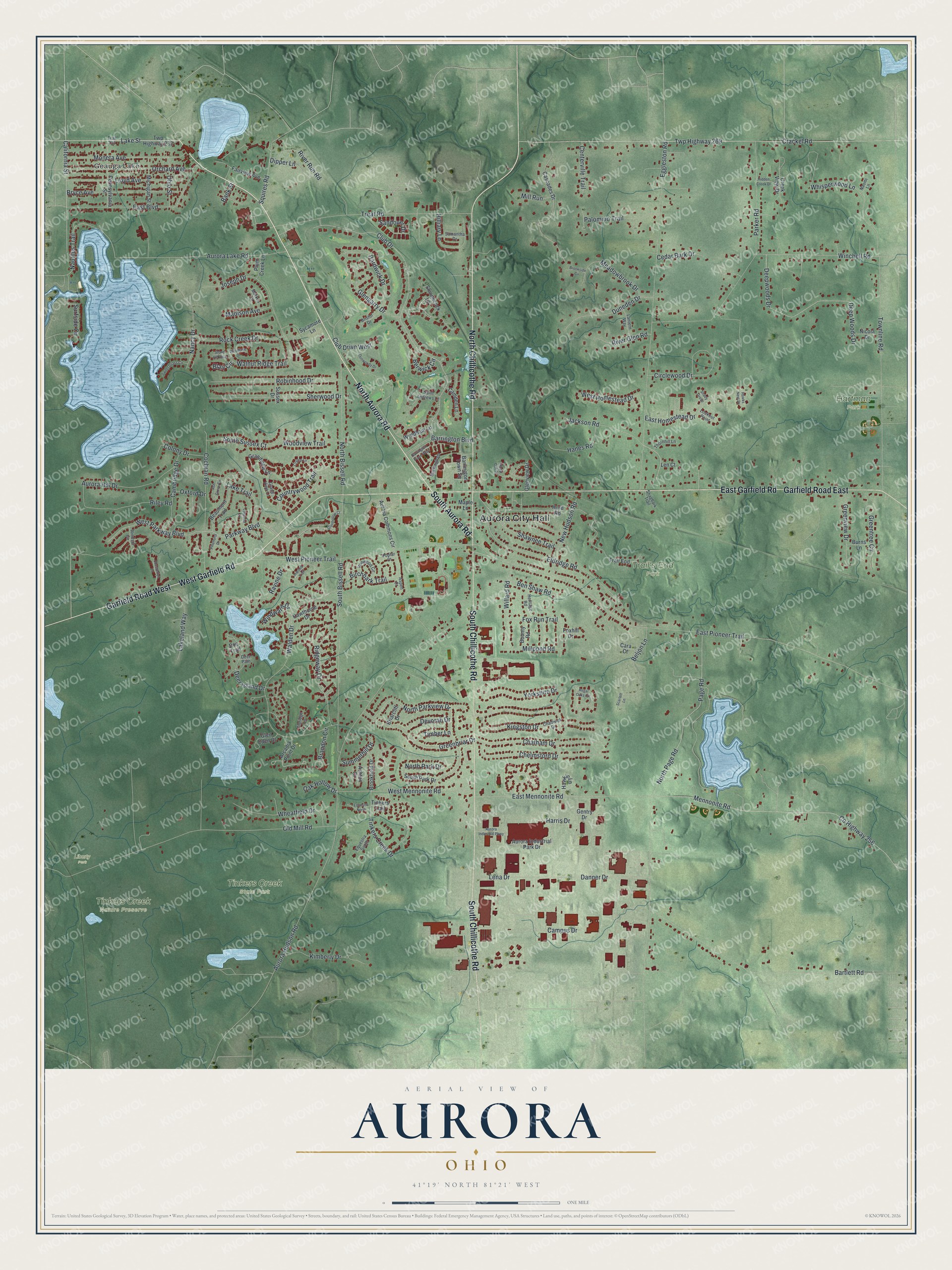
Created by KNOWOL in 2026, this Aurora map shades the hills in soft green, with USGS elevation data behind the land. The buildings are drawn in deep red, and the lakes and ponds are pale blue. The title panel reads "Aerial View of Aurora, Ohio," with the coordinates 41°19' North, 81°21' West and a one-mile scale bar.
Hang it in a front hall, a family room or a home office. It makes a good gift for someone who moved away from Aurora, or for anyone who remembers summers at Geauga Lake. Open the preview, start at the crossroads by City Hall, and find your own street. See sizes and frames for the Aurora map.