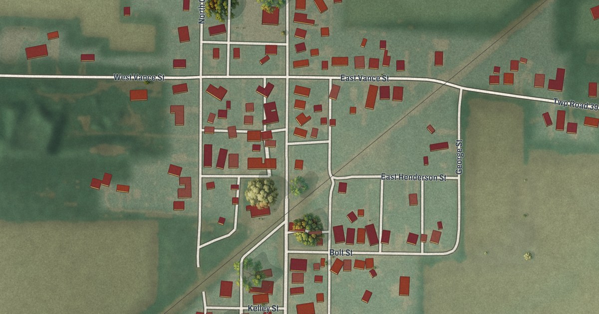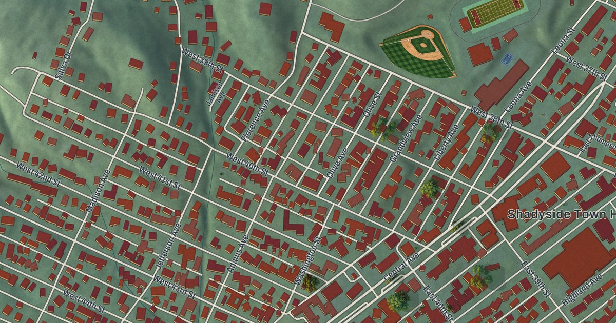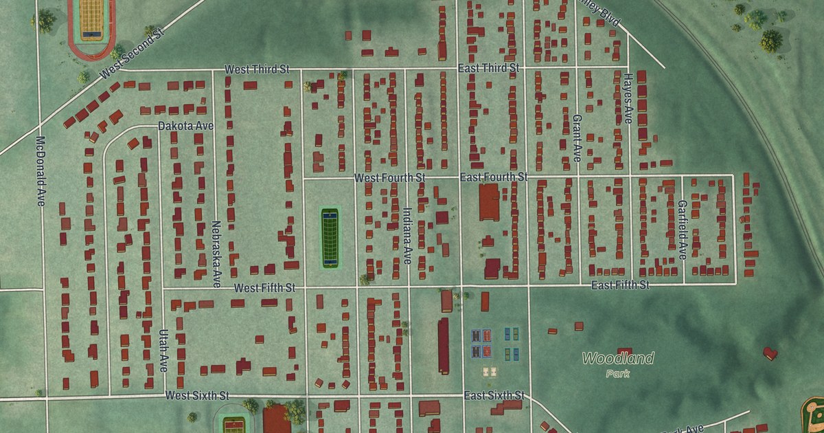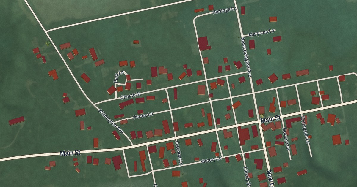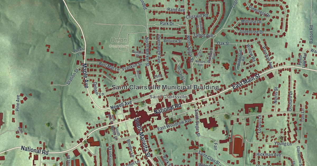
If you grew up along Main Street, or you still drive the old National Road through town, this map is for you. It's a modern aerial view of the Belmont County seat in Ohio, made from modern data with a vintage feel. The red rooftops of St. Clairsville crowd close around Main Street. Green hills roll out on every side, and two small blue lakes sit off to the west.
Where the National Road Started in Ohio
On this map you'll find East Main Street, West Main Street, National Road, South Marietta Street, North Market Street, Memorial Park, Union Cemetery, the Saint Clairsville Municipal Building, Maple Avenue, North Sugar Street, Newell Avenue, Walnut Avenue, Provident, and more. Each red shape is a building, so zoom in on the preview and look for yours.
On July 4, 1825, workers broke ground for the National Road in Ohio. They started near the Belmont County Courthouse on West Main Street. A state marker there tells the story. The National Road was America's first highway planned and paid for by the federal government. Work began in Cumberland, Maryland, in 1811. The road reached Wheeling in 1818. Then it sat for years while people argued over whether the federal government should pay for roads. In Belmont County, the road ran 28.5 miles. It went from Bridgeport on the Ohio River to Fairview at the west end of the county. You can still read the name on the map today, printed as National Rd and National Road East.
Why St. Clairsville Is the Belmont County Seat
The town shares its name with Arthur St. Clair. He was born in Scotland. From 1787 to 1802, he was the first governor of the Northwest Territory. That land took in Ohio, Indiana, Illinois, Michigan, Wisconsin and part of Minnesota. In 1801, he set up Belmont County and named St. Clairsville its county seat. His marker stands at the courthouse too, right beside the one for the road.
From Memorial Park to South Marietta Street
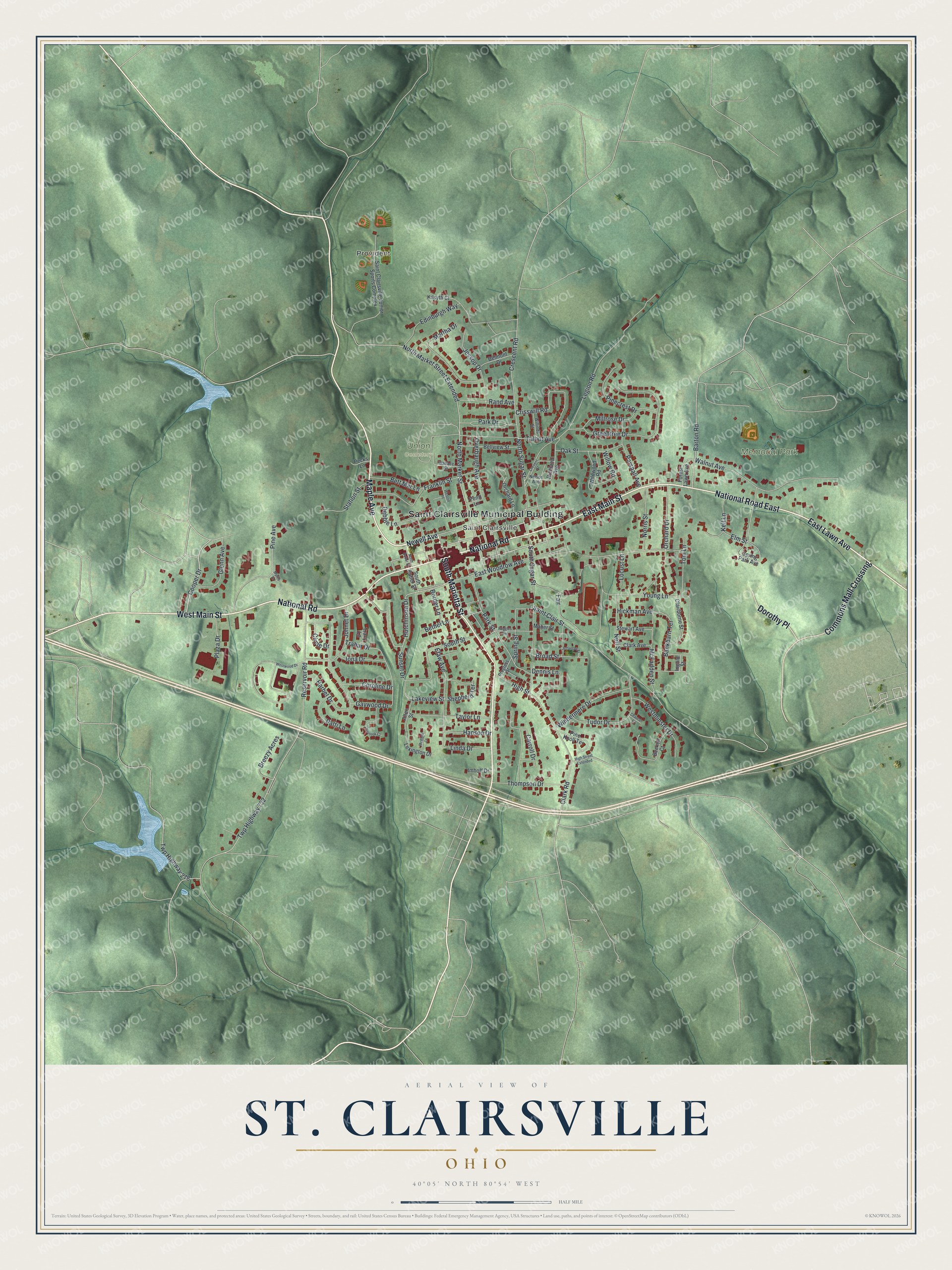
Created by KNOWOL in 2026, this print shows the hills around St. Clairsville in soft green shading, with buildings in deep red and streets in thin pale lines. The title panel at the bottom reads Aerial View of St. Clairsville, Ohio, with the coordinates 40°05' North 80°54' West.
It fits a living room, a front hall or a home office. It's a good gift for anyone who spent summer nights at the Saint Clairsville Junior Sports Complex, or for someone who moved away and still thinks of Main Street. Open the preview and find your street. See sizes and frames for the St. Clairsville map.