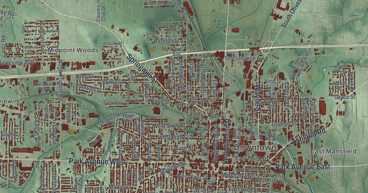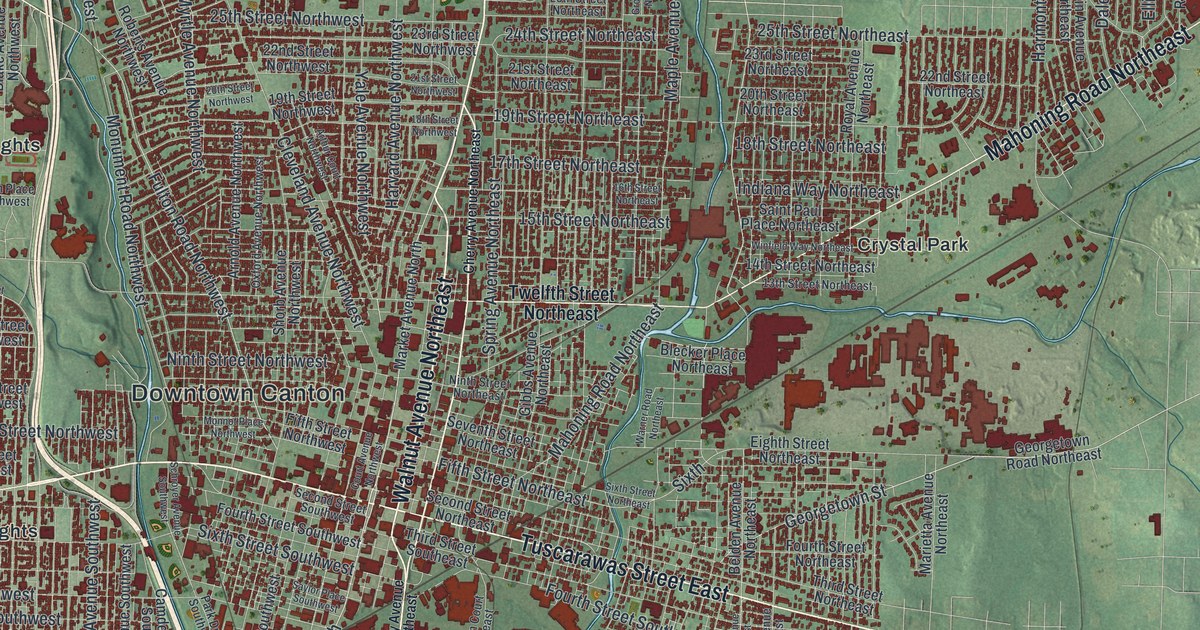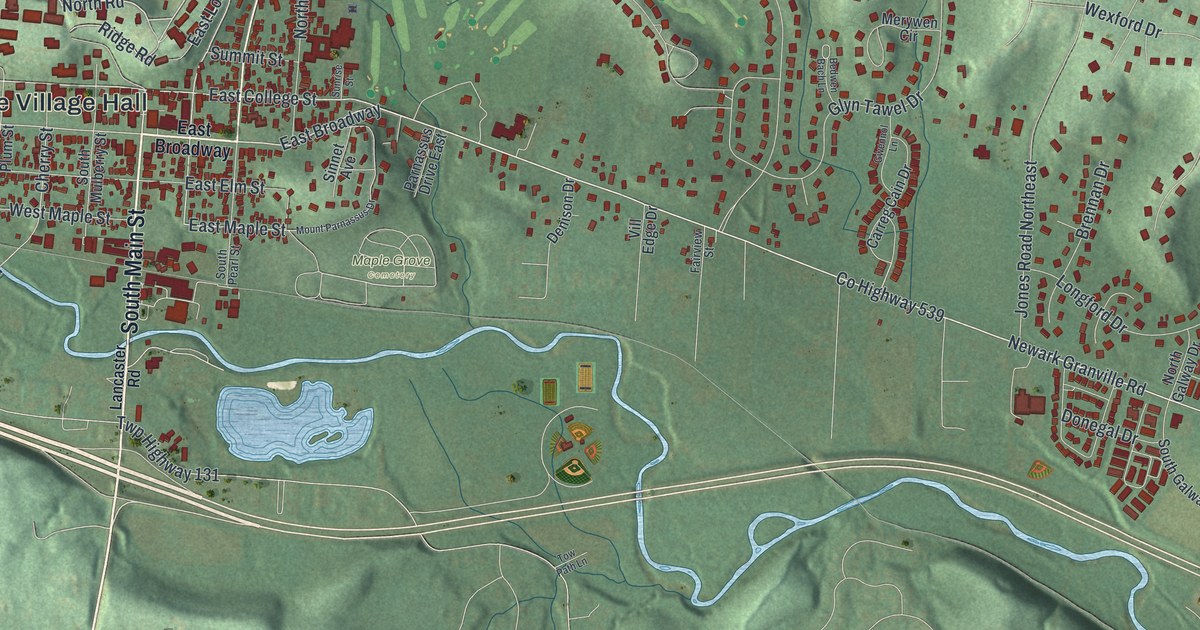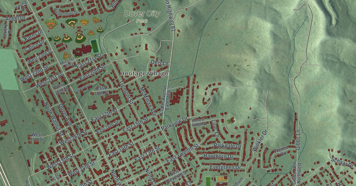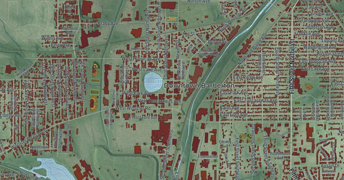
If you grew up in Barberton, went to school here, or still have family on the east side or out by Johnsons Corners, this map has a lot for you to find. It's a modern aerial view of Barberton in Summit County, Ohio, made from modern data and given a vintage look. Downtown Barberton sits in the middle of the sheet, right beside a small round lake. A wide blue river cuts across the city from the upper right and bends south. More than 23,000 buildings are drawn in dark red on soft green hills.
Downtown Barberton, Robinson Avenue and Johnsons Corners
Start at Downtown Barberton, next to the round lake. Robinson Avenue runs east from downtown and crosses the river. Keep going to Fifth Street Southeast, the long street that runs up and down the east side. Its north end is printed as Fifth Street Northeast. Now follow Fifth Street Southeast south. Just east of it, Shenandoah Boulevard links Austin Drive, Mesa Verde Drive and Lockwood Road, where the streets curve in loops.
Head back downtown and go north. Barber Road runs north from Norton Avenue to Morgan Street, which crosses New Portage. Glenn Street and Orchard Avenue pass Newton Park nearby. On the left side of the sheet, Johnsons Corners sits along Wooster Road West. Thomas Johnson built Norton Township's first sawmill there by 1817, and his village was there 77 years before Barberton was founded. Hudson Run Road runs east from near there to Fairland Road. A PPG plant near that corner opened in 1900 and ran the world's deepest limestone mine, 2,200 feet down. Many roads are labeled, and each red shape is a building, so zoom in and look for yours.
O.C. Barber's Anna Dean Farm on Austin Drive
Ohio Columbus Barber founded Barberton. In 1905 he retired to build a farm he named Anna Dean, for his daughter and son-in-law. Work started in 1909, and Barn No. 1 went up first. The farm was a showcase for new, science-based farming. Barber liked his buildings painted red, white and blue. The colt barn went up in 1910 for bulls. In 1912 it became a stable for colts. It was the smallest barn on the farm. Barber died in 1920. By 1974, when the Barberton Historical Society was founded, all but nine of the estate's first 35 buildings had been torn down. A state historical marker says the society saved the colt barn in 1978. That was the start of the city's historic preservation work.
You can trace the old farm on the east side of this map. The colt barn's address is 740 Austin Drive. Barn No. 1 is on Third Street Southeast, and the farm's creamery is on Portsmouth Avenue. The main gatehouse stood at the corner of Robinson Avenue and Fifth Street Southeast. All five streets are printed on the east side, so the farm's old ground is easy to find.
The title panel: 41°01' North, 81°37' West
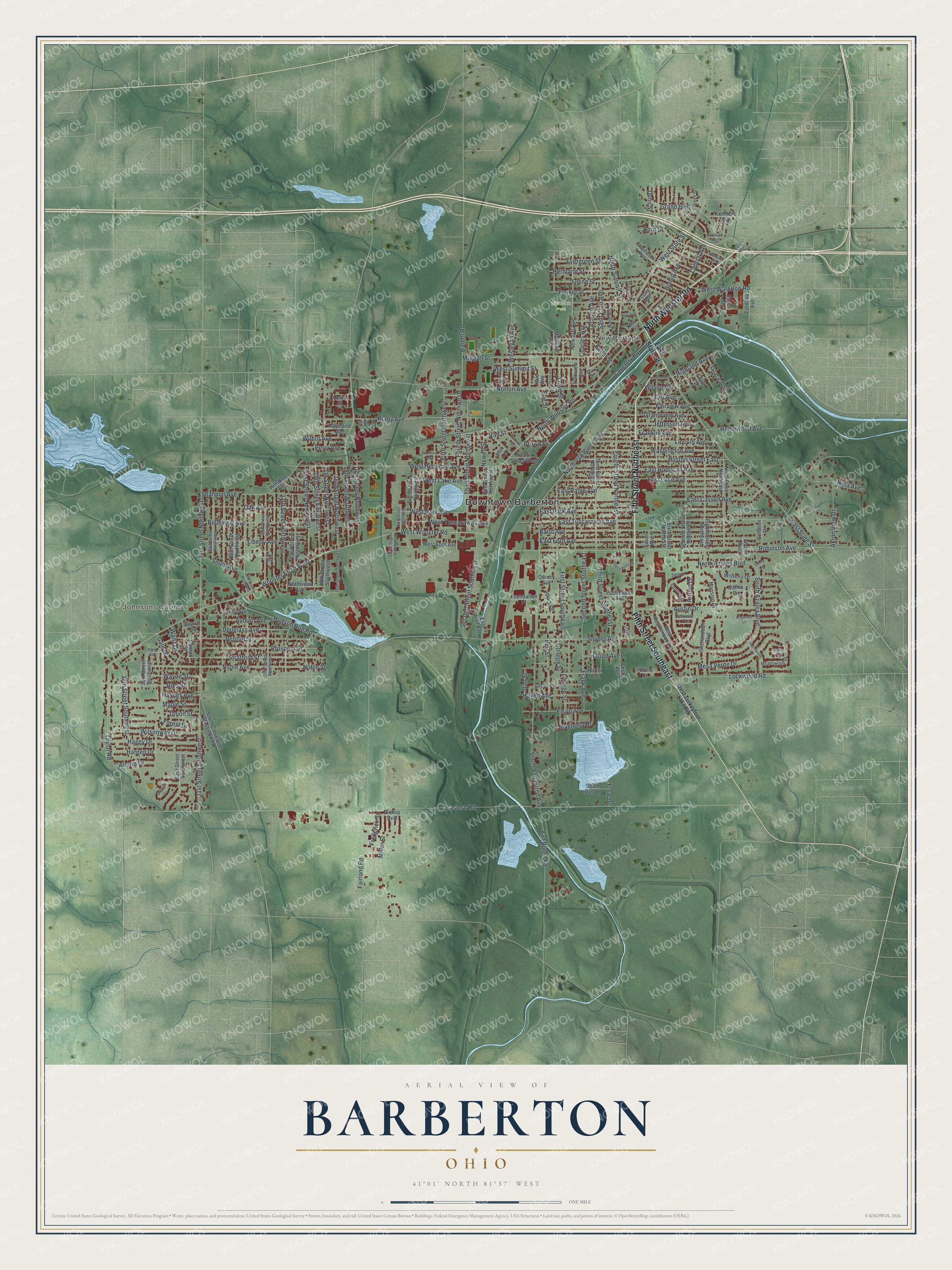
Created by KNOWOL in 2026, the Barberton print shows the city in deep red over green shaded hills. The hills are shaded from USGS elevation data. The streets come from Census Bureau records. The river and the lakes are pale blue. The title panel reads "Aerial View of Barberton, Ohio," with 41°01' North 81°37' West and a one-mile scale bar.
It suits a den, a kitchen or a home office. It's a good gift for someone who grew up near the colt barn on Austin Drive and moved away, or for a family that's been in Barberton for years. Open the preview, find Robinson Avenue and follow it to a street you know. See sizes and frames for the Barberton map.