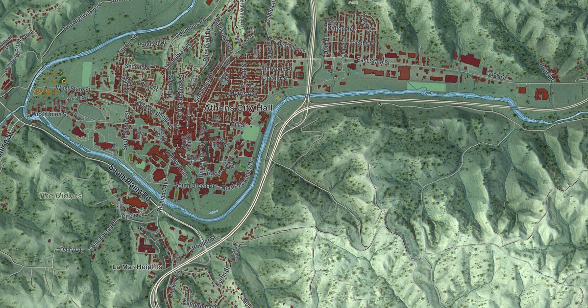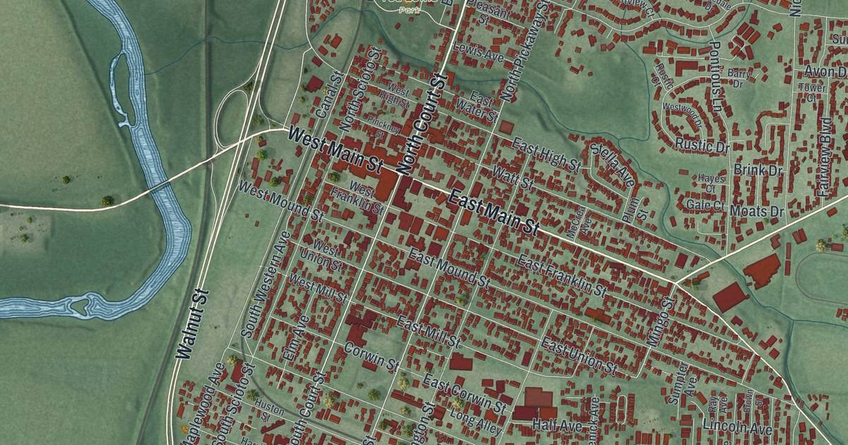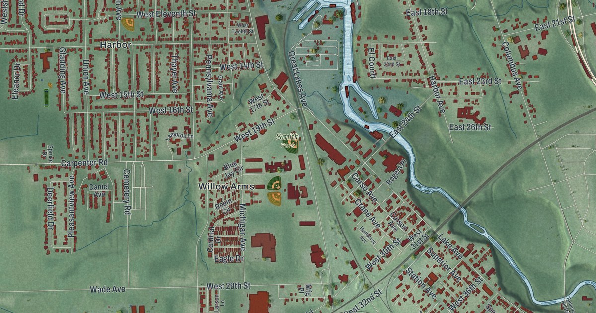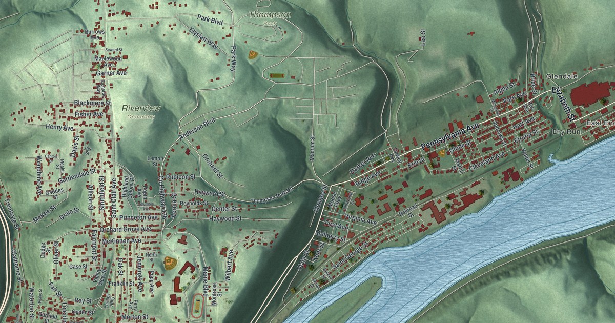
If you grew up in East Liverpool, or your family still lives up Saint Clair Avenue or out in the East End, this map gives you a lot to find. It's a modern aerial view of East Liverpool in Columbiana County, Ohio, made from modern data and given a vintage look. The Ohio River isn't labeled, but you can't miss it. It bends along the bottom and right side of the sheet. Downtown fills the bend, and green shaded hills rise behind it. Nearly 6,000 buildings are marked in red. Explore the print options for East Liverpool.
From Broadway Street to Riverview Cemetery and the East End
Start downtown, in the bend of the river at the lower left. Broadway Street and Walnut Street both run down toward the water, and River Road follows the bank. From there, take Saint Clair Avenue north. It climbs past Henry Avenue to Riverview Cemetery, which is named on the map, and on past Garner Avenue. Keep going up to Hill Boulevard and Park Boulevard, with Thompson Park just to the east. Lisbon Street runs down the west side of the sheet. It passes Pleasant Heights and ends at Jethro, where it meets the Ohio River Scenic Byway. Now go back to the bottom middle. Pennsylvania Avenue heads northeast along the river through Glendale, Dry Run and East End. Harvey Avenue carries on toward the top right corner. Many of the roads are labeled, and each red shape is a building, so zoom in on the preview and look for yours.
For nearly a century, East Liverpool led the country's pottery trade. An Ohio historical marker at Broadway Wharf tells how it started. James Bennett, a potter born in Britain, opened the first commercial pottery here in 1841. He came for the clay, which was easy to reach, and for the river, which could ship the ware. Other potters soon followed. From 1865 to 1910, the city's potteries made most of America's crockery. Nearly the whole city worked in the trade. In the 1900s, imports, plastics and a narrow valley with little room to grow brought the trade's decline. The marker says three large potteries still carry on the work.
Before it was East Liverpool, the town was called Fawcettstown. A second marker at the wharf says it was the first Ohio town that river travelers reached. Many early English potters stepped ashore there. The wharf isn't labeled, but Broadway Street and Walnut Street lead you to it. Up the hill in Pleasant Heights, look for Ceramic Street near Spring Grove Avenue. Then follow Harvey Avenue out past the East End toward the Pennsylvania line, which isn't marked. Near there, on September 30, 1785, Thomas Hutchins drove a stake. He was the first Geographer of the United States. That stake was the Point of Beginning for the survey of the first Seven Ranges of townships.
For someone who knows Saint Clair Avenue
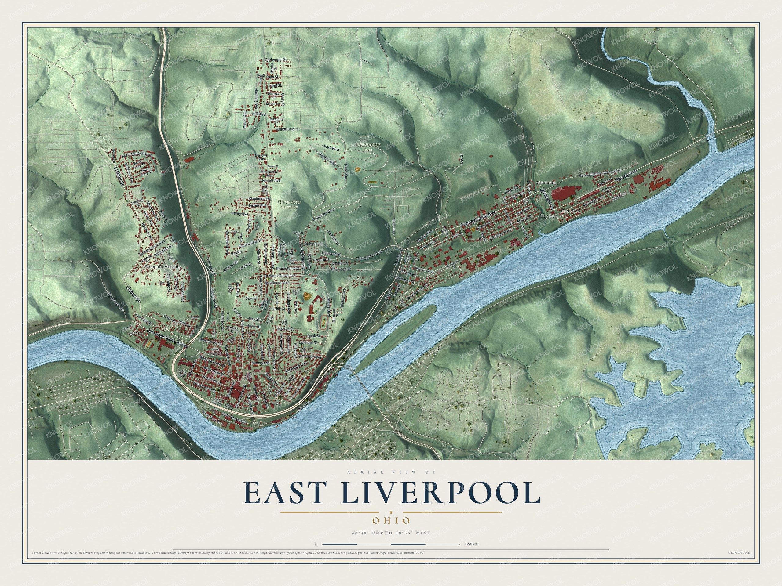
Created by KNOWOL in 2026, this East Liverpool map shows the river bend, the steep green hills and the streets that climb them. The shaded hills come from USGS elevation data. The title panel reads "Aerial View of East Liverpool, Ohio," with the coordinates 40°38' North, 80°35' West and a one-mile scale bar.
It suits an office, a den or a kitchen wall. It's a good gift for someone who grew up here and moved away, or for a family whose people worked in the potteries. Open the preview, zoom in and find the street you know. Shop the East Liverpool, Ohio map.