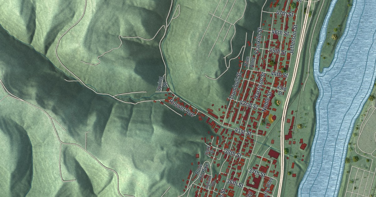
If you grew up in Bellaire, went to Bellaire High School, or still have family along Belmont Street, this map gives you a lot to find. It's a modern aerial view of Bellaire in Belmont County, Ohio, made from modern data and given a vintage feel. The town runs in a long, narrow strip between steep green hills and the Ohio River. The river isn't labeled, but its wide blue band runs the full length of the sheet. Buildings are drawn in red, and a creek winds in from the west. Explore the print options for Bellaire.
Belmont Street, Guernsey Street and Greenwood Cemetery
Start where 32nd Street meets Belmont Street, near the middle of town. Belmont Street and Guernsey Street run north from here, side by side, through the numbered blocks. Follow Guernsey Street past 35th and 36th Streets. Farther up, Noble Street and Jefferson Street carry on toward 48th Street near the top of town. Now go back to 32nd Street, which is also printed as Rose Hill Pike. Washington Street heads west from it and passes Greenwood Cemetery, named on the map. Hamilton Street and West 26th Street run close beside it. Farther west, Maple Avenue, Birch Street and Taney Avenue make a small grid of their own, and Dorer Avenue leads down to Winding Hill Road. Many of the roads are labeled, and each red shape is a building, so zoom in on the preview and look for yours.
The Great Stone Viaduct isn't labeled on the map, but you can find where it starts. Work on it began in 1870 at Union Street. It was the Ohio end of a railroad bridge across the river. It reached Rose Hill in April 1871. Trains started crossing to West Virginia on June 21, 1871. The sandstone piers rise 10 to 20 feet above the streets. On top sit 43 stone arches. Each arch has 37 ring stones, 18 on each side of a keystone. They were meant to stand for a Union of 37 states. That's from the state historical marker at Union and 31st Streets, and both streets are printed on the map.
The stone was cut right in town. Stonemasons shaped the blocks on Union Square, now a city park on Belmont Street between 34th and 35th Streets. A steam derrick and horses helped move them to the work site. During the Civil War, the same square fed Union recruits. It also held circuses, tent shows and baseball games. Theodore Roosevelt gave a speech there in 1912. Union Square isn't labeled either, but Belmont, 34th and 35th Streets are, so you can find its block.
For anyone who knows Union Street and the stone arches
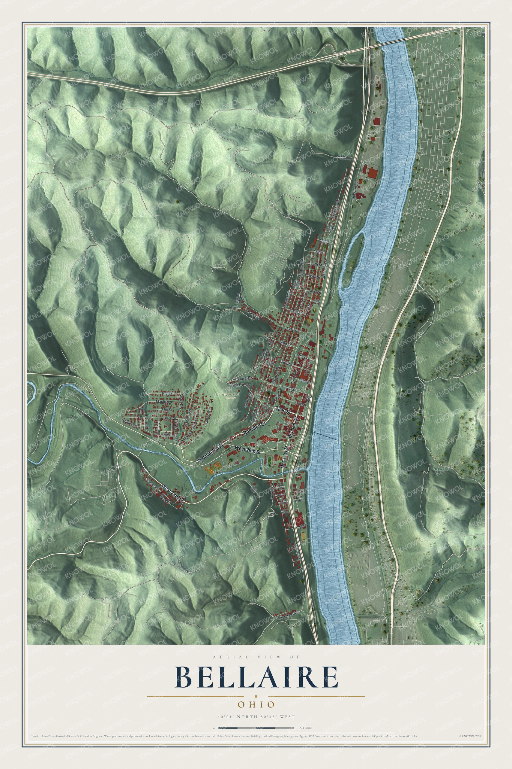
Created by KNOWOL in 2026, this Bellaire map shows the steep hills in shaded green from USGS elevation data. The streets come from Census Bureau records, and the buildings are drawn in red. The title panel reads "Aerial View of Bellaire, Ohio" with 40°01' North 80°45' West and a half-mile scale bar.
It suits a kitchen, a den or an office wall. It's a good gift for a Bellaire High School graduate, for someone who worked at Imperial Glass, or for anyone who grew up here and moved away. Open the preview, zoom in on Belmont Street and find a block you know. Shop the Bellaire, Ohio map.