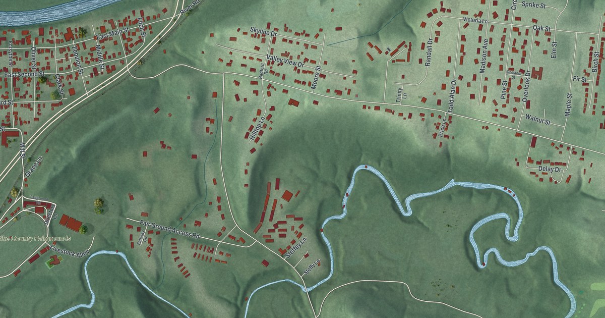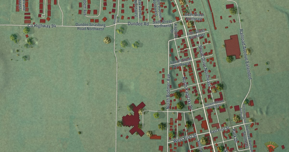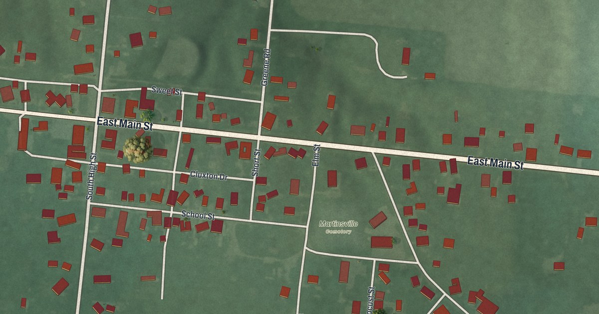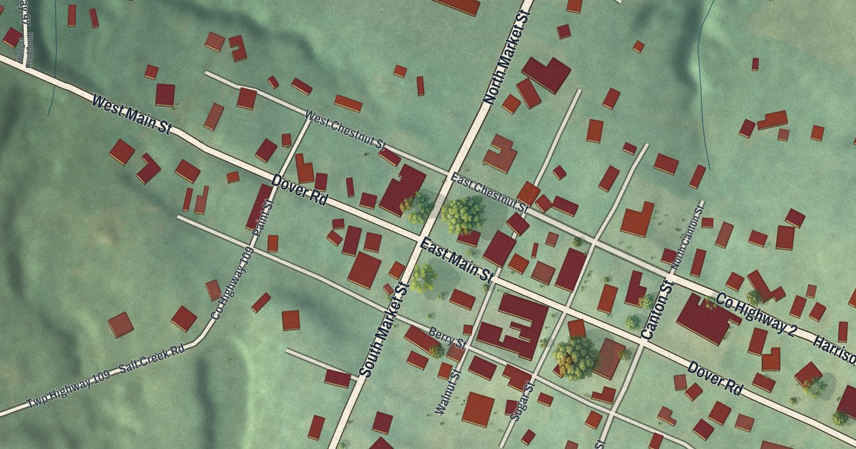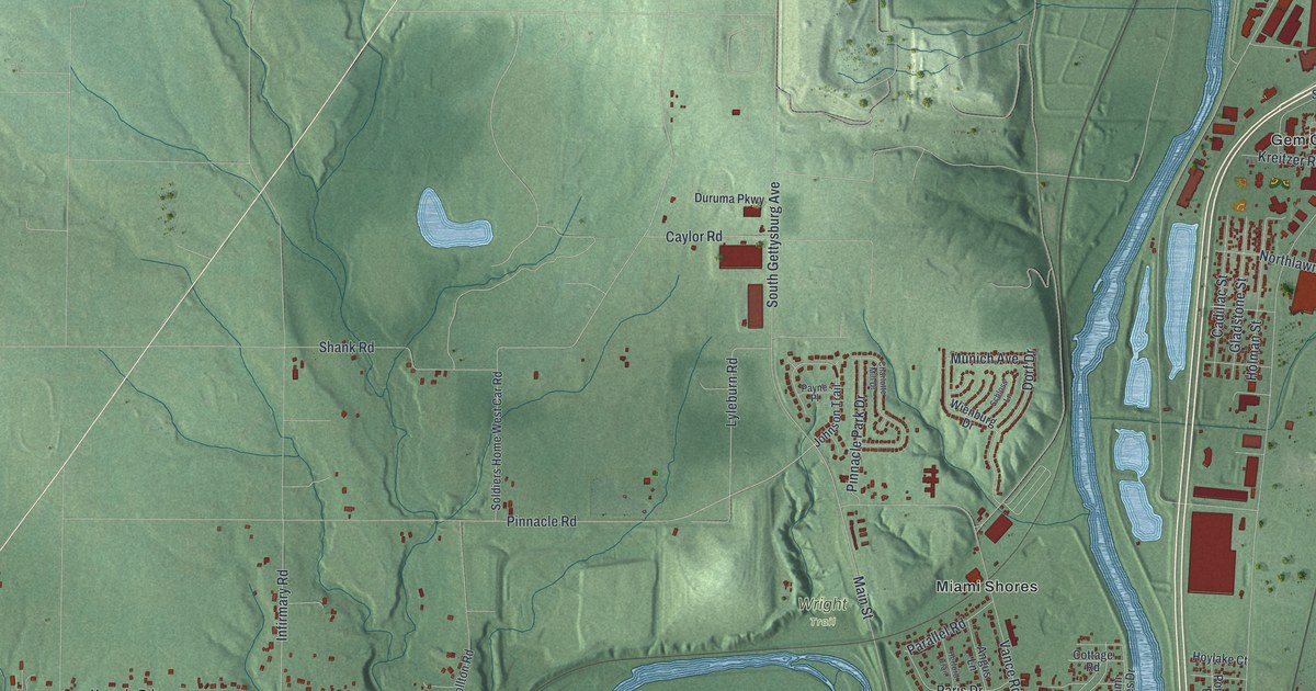
If you grew up in Miami Shores or Berkley Heights, or you still drive Springboro Pike every day, this map was made with you in mind. It's a modern aerial view of Moraine in Montgomery County, Ohio, built from modern data and given a vintage look. A wide blue river winds down the middle and makes a deep loop around Miami Shores. Green hills and creek valleys roll across the west side, with Ellerton down in the bottom left corner. On the east side, rows of red buildings fill the land between the river and the hills.
Moraine's Streets from Springboro Pike to Miami Shores
On this map you'll find Springboro Pike, State Road 741, South Dixie Drive, Kettering Boulevard, West Dorothy Lane, Dryden Road, East River Road, Carillon Boulevard, Germantown Pike, Pinnacle Road, Miami Shores, Berkley Heights, Gem City Estates, Calvary Cemetery, and more. Each red shape is a building, so zoom in on the preview and look for yours.
The Wright Flyer III at Carillon Park
Carillon Boulevard is on the map. The Wright Flyer III is kept at Carillon Park. The Wright brothers started building it on May 23, 1905. At first it flew no better than their 1904 plane. The longest flight that month lasted only 19.5 seconds. Damage and accidents happened almost every day. So they rebuilt it. They made the elevator and rudder bigger and moved them. They gave the pilot separate controls for the wings and the rudder. They even added small tips to the propellers, which they called "Little Jokers." After those changes, the Flyer III became what its National Register nomination calls the world's first practical airplane.
Orville Wright's Seaplanes on the Great Miami River
Wilbur Wright died in 1912, but Orville kept flying. In 1913 and 1914 he flew seaplanes on the Great Miami River, near West Carrollton. An Ohio historical marker explains why he chose this stretch of water. A dam made the river deep. Nothing built by people stood in the way. And a sharp bend let him take off north to south or east to west, depending on the wind. In June and July 1913 alone, he made more than 100 flights, often with passengers. On the map, find the sharp bend in the blue river just below Miami Shores. The marker stands by that part of the river.
Keep Miami Shores and Springboro Pike Close
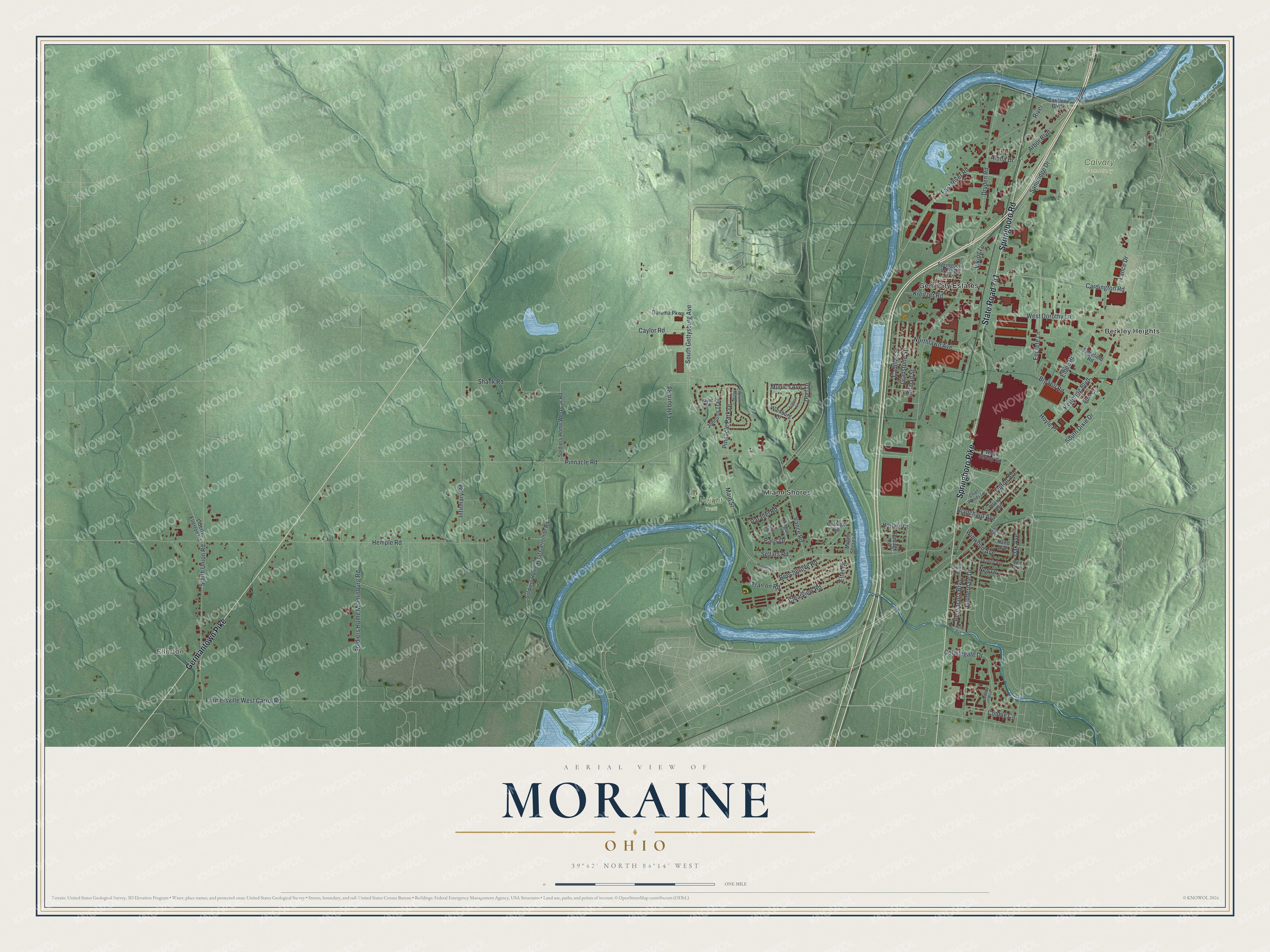
Created by KNOWOL in 2026, this print sets red buildings and a blue river over soft green shaded hills, with a cream title panel at the bottom. The panel reads "Aerial View of Moraine, Ohio" above the line 39°42' North 84°14' West.
It fits a living room, a home office or the hallway by the front door. It's a thoughtful gift for someone who grew up in Miami Shores and moved away, or for a friend who loves the Wright brothers' story. Open the preview and zoom in to find your own street. See sizes and frames for the Moraine map.