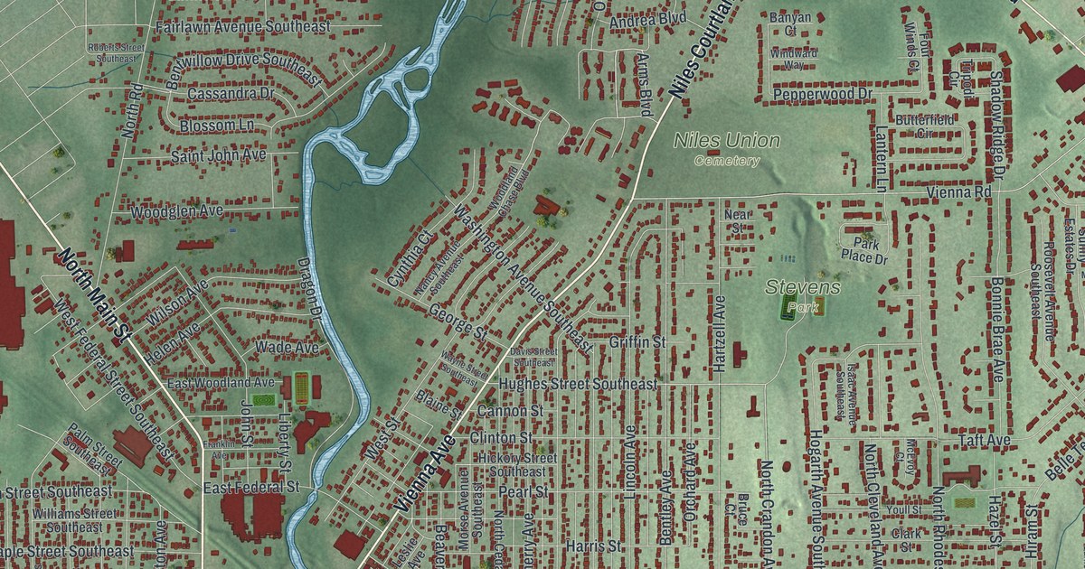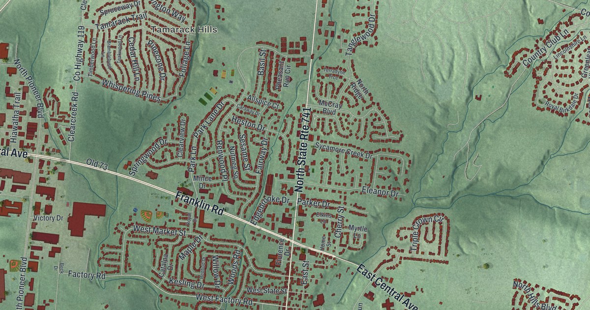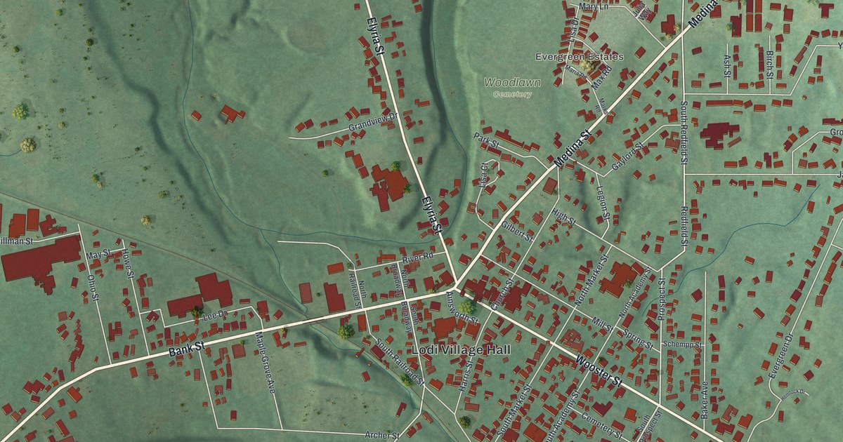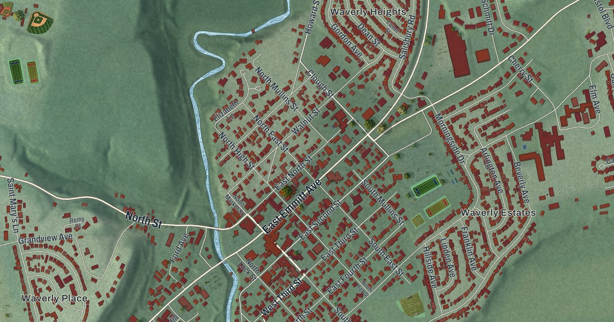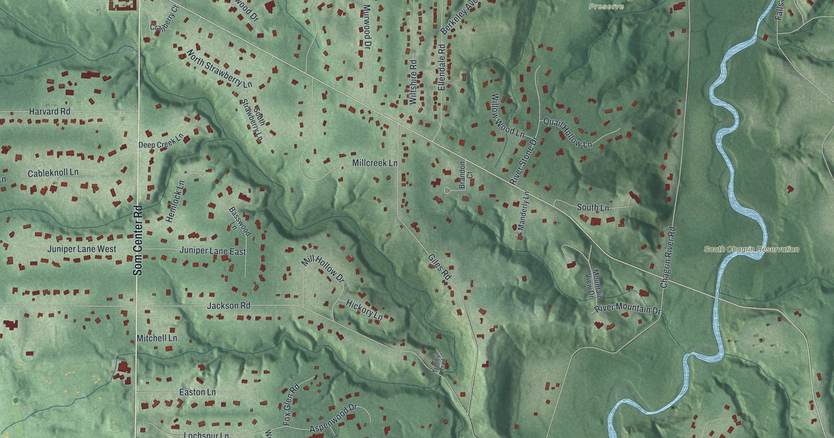
If you grew up on one of the quiet lanes off Som Center Road, or you've spent weekends in South Chagrin Reservation, this map is for you. It's a new aerial view of Moreland Hills in Cuyahoga County, Ohio, made from modern data and given a vintage look. Wooded ravines fold through the hills. Homes show up as small red shapes along the curving streets. A wide blue river winds down the right side, past the Polo Field and Forest Ridge Preserve.
Som Center Road, Chagrin Boulevard and Your Street
On this map you'll find Som Center Road, Chagrin Boulevard, South Woodland Road, Chagrin River Road, Jackson Road, Harvard Road, Miles Road, Bentleyville Road, Gail Allison Drive, Juniper Lane West, Old Farm Road, South Chagrin Reservation, Forest Ridge Preserve, the Polo Field, and more. Each red shape is a building, so zoom in on the preview and look for yours.
President Garfield Was Born in Moreland Hills
James A. Garfield, the 20th President of the United States, was born here in 1831. That's what the Ohio historical marker says. It stands on Som Center Road, just north of the village's municipal buildings, so look for Som Center Road on the map. His father died when James was two. The family stayed on the farm, and James helped out when he wasn't in school. He still lived here while he worked on the canal as a driver and bowsman. He also lived here while he studied at Geauga Seminary and at Hiram Eclectic Institute, which later became Hiram College. He left in 1859, when he was elected to the Ohio Senate.
The 1965 Grand Prix at the Polo Field
The Polo Field sits near the top right of the map, by South Woodland Road. On July 25, 1965, nearly 10,000 people came here to watch the Cleveland Grand Prix. It was the first horse show jumping grand prix ever held in North America. Another state marker at the field tells the story. Twenty riders from six countries rode a course of 16 jumps. Mary Mairs Chapot won on her horse Tomboy. Her husband Frank, who had ridden in the Olympics, came in second on Manon.
Keep Som Center Road and the Polo Field Close
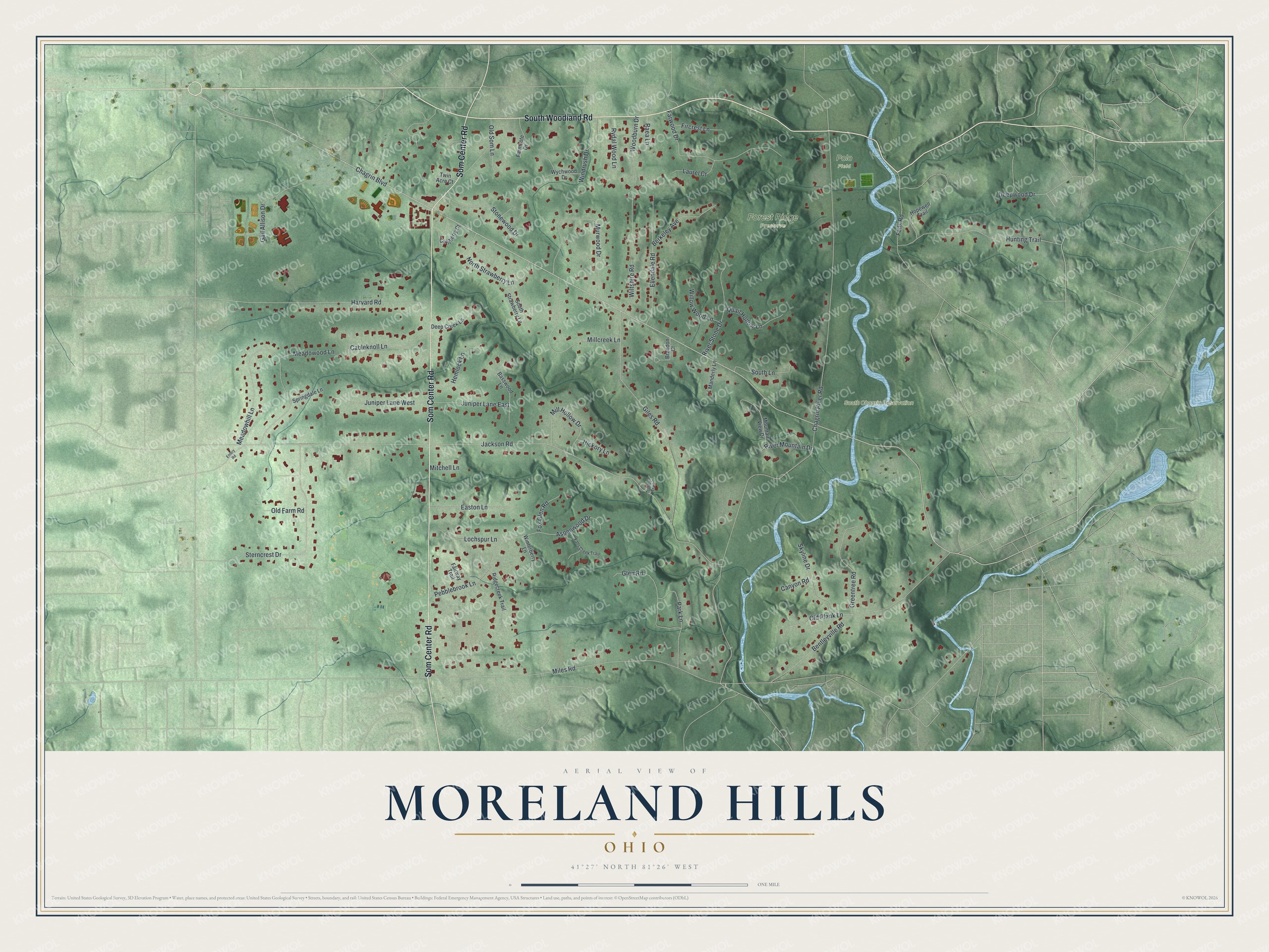
Created by KNOWOL in 2026, this print shows the village in soft greens, with shaded hills and ravines, red buildings and a blue river. The title panel reads "Aerial View of Moreland Hills, Ohio" with 41°27' North 81°26' West printed below.
It fits a study, a front hall or a family room. It's a good gift for someone who moved away, or for a family that spent Saturdays on the trails at South Chagrin Reservation. Open the preview and find your own street. See sizes and frames for the Moreland Hills map.