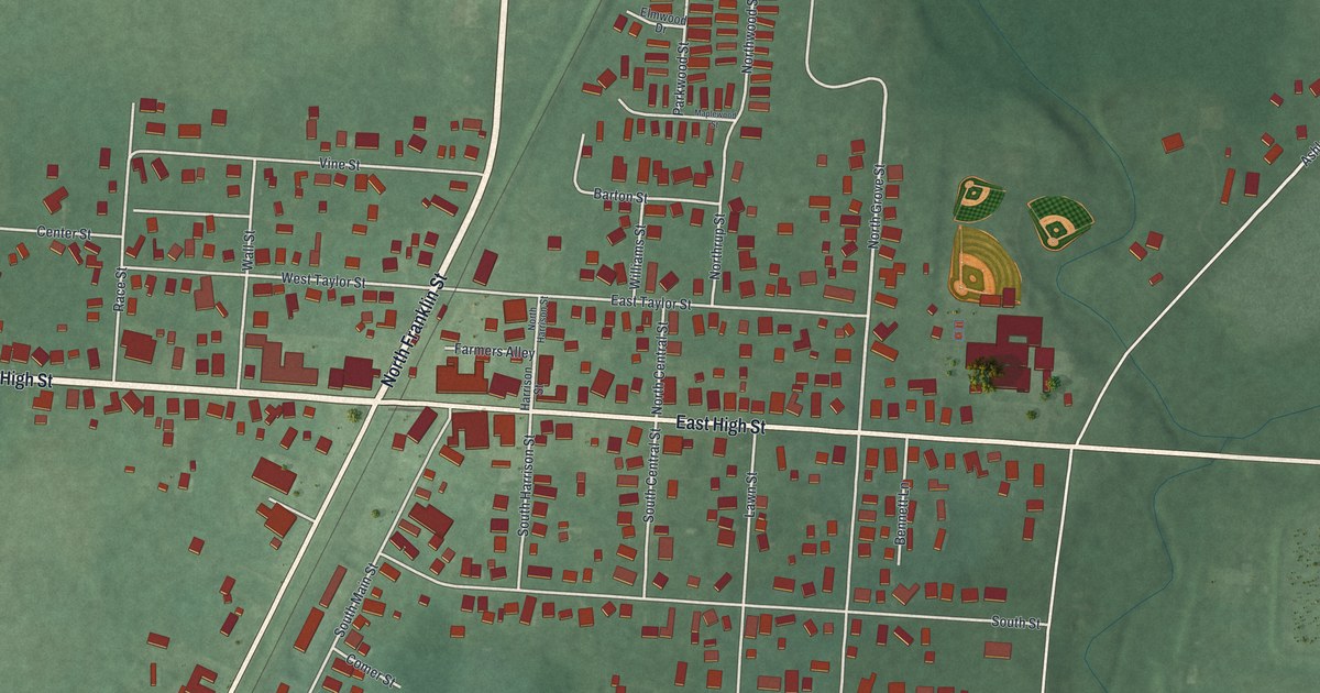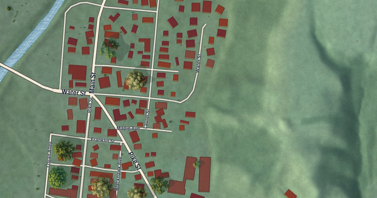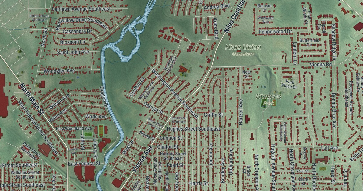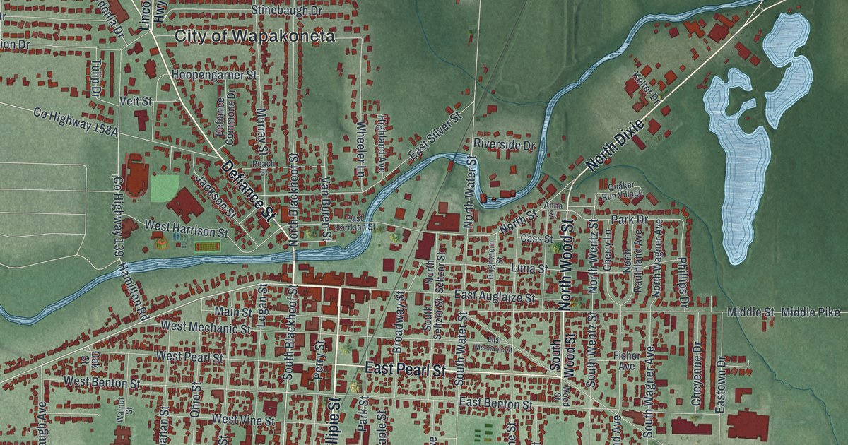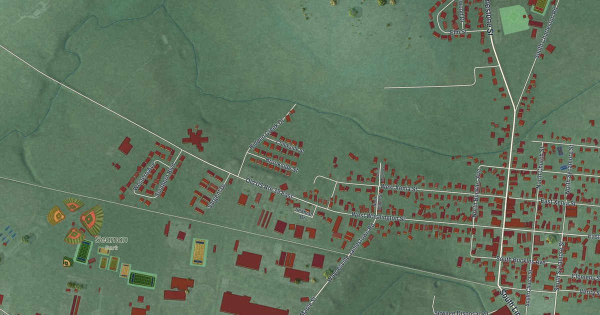
If you grew up in Jamestown, there's a familiar block to find here. This modern aerial view of Jamestown in Greene County, Ohio uses modern data with a vintage feel. Red buildings mark the village streets, with green land around them. Seaman Park is printed near the middle of the map, so start there.
Jamestown's streets and Seaman Park
On this map you'll find North Limestone Street, South Limestone Street, East Washington Street, West Washington Street, East Xenia Street, West Xenia Street, South Main Street, Cottonville Road, Greeneview Drive, Seaman Drive, Seaman Park, and more. Each red shape is a building, so zoom in on the preview and look for yours.
The Jamestown Cyclone of 1884
On April 27, 1884, a storm tore through Jamestown. Henry Howe's Historical Collections of Ohio calls it the Jamestown Cyclone. It reached town after wrecking the Union Agricultural Society's fair grounds. Howe says nearly one hundred families lost their homes. Four people died, and many more were hurt.
The storm's path was about one hundred yards wide. Along that strip, no building escaped damage. Churches across town were damaged, too. Howe describes the storm approaching on the pike from Xenia. You can find West Xenia Street and East Xenia Street on the map. Every red shape is a building standing in Jamestown today.
Those fair grounds had a proud past. A National Register nomination says crops and livestock did so well here that the Union Agricultural Society held its first Annual Fair at Jamestown in 1858.
Keep Jamestown and Seaman Park close
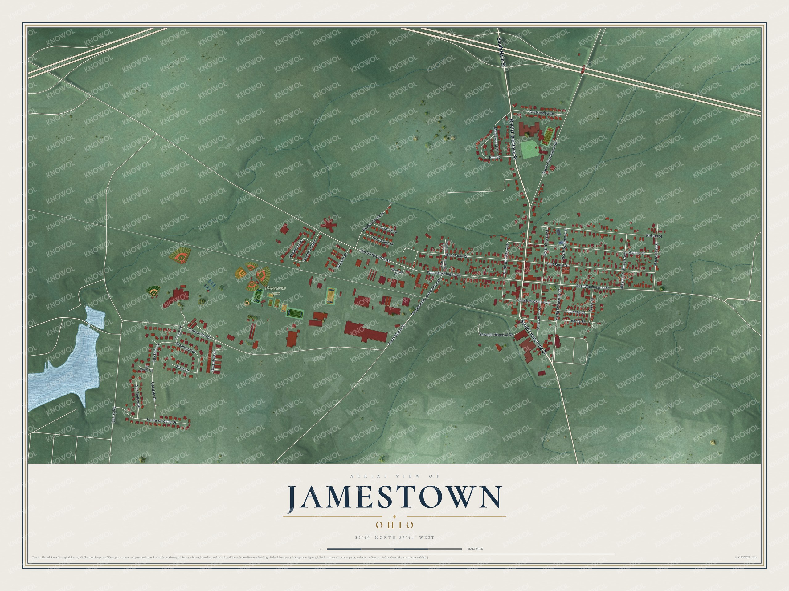
Created by KNOWOL in 2026, the print pairs green terrain with red buildings, pale roads and blue water. A cream border surrounds the view. The title panel reads AERIAL VIEW OF JAMESTOWN, OHIO, with 39°40' NORTH 83°44' WEST below.
It's a warm fit for a living room, office or entryway. Give it to someone who grew up in Jamestown, or family who moved away. Open the preview to find a familiar street and take a closer look at home. See sizes and frames for the Jamestown map.