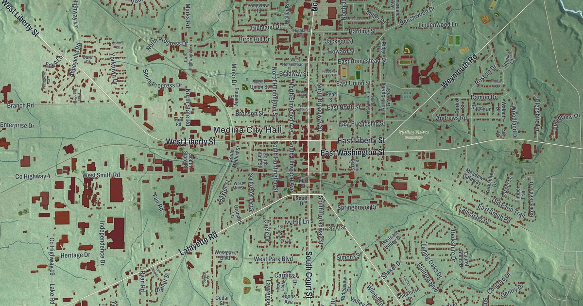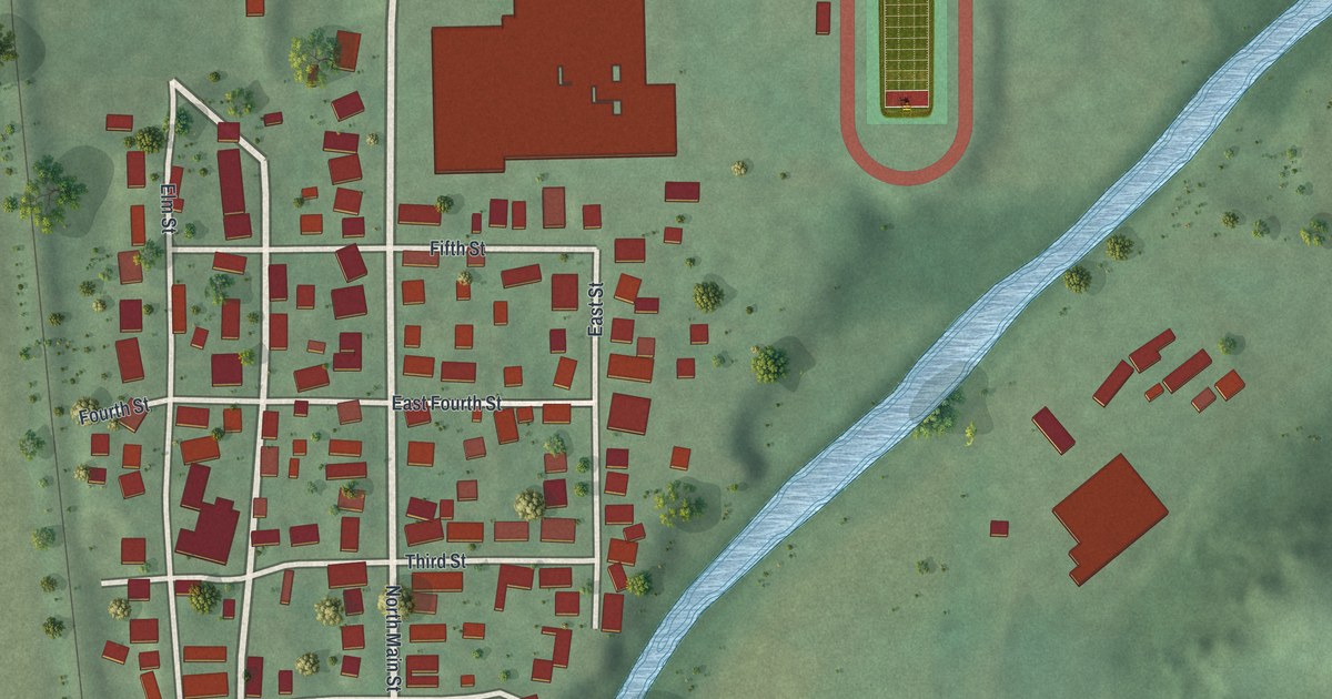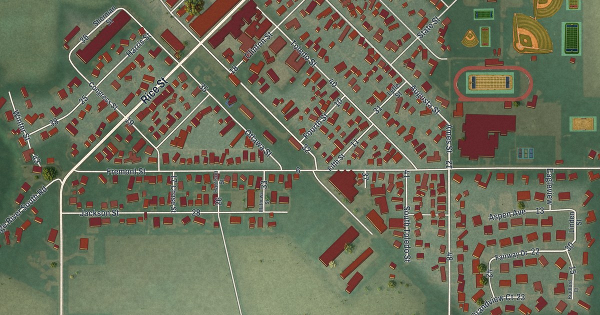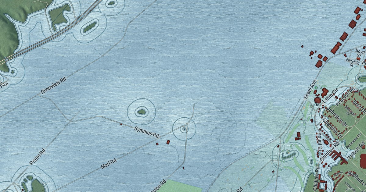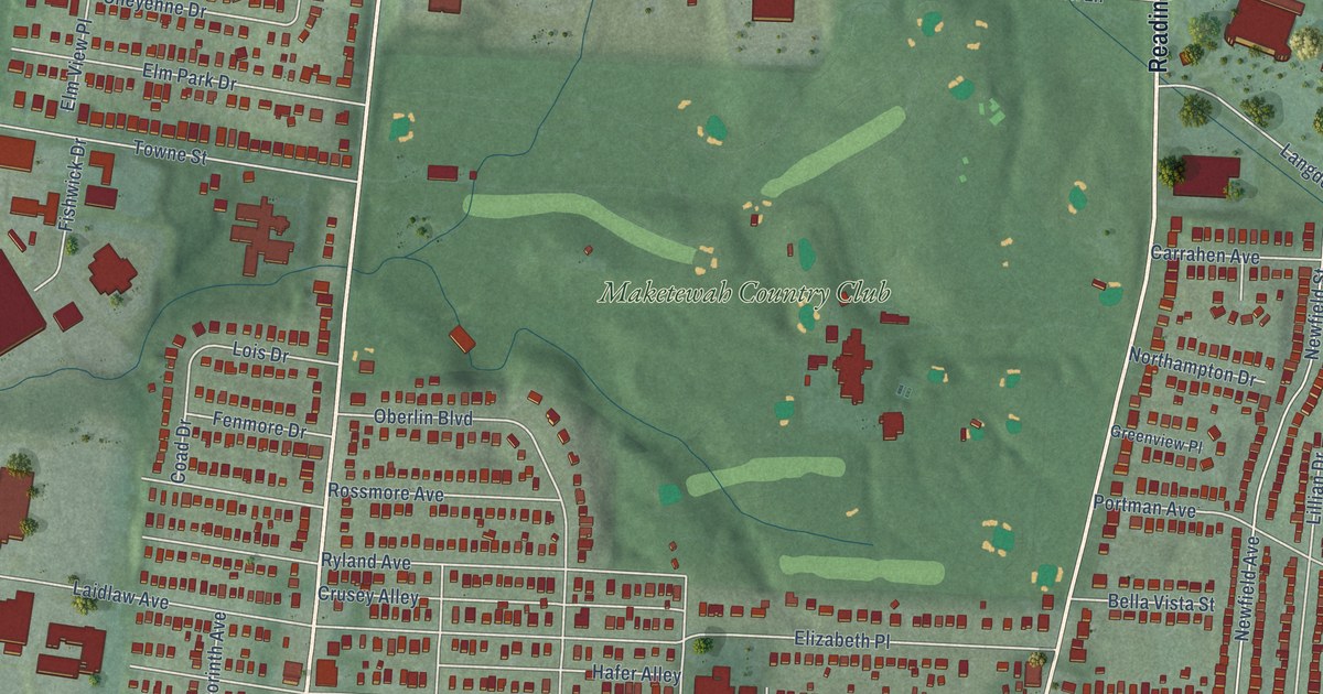
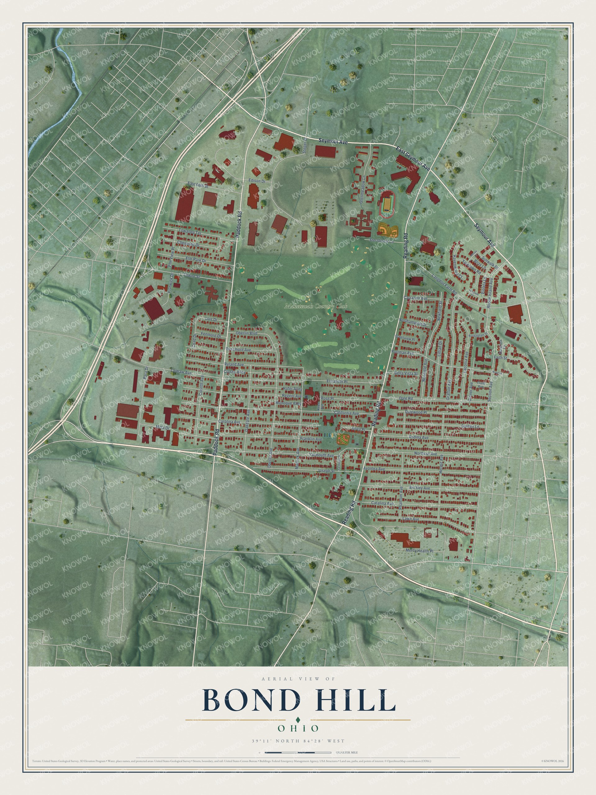
This beautifully detailed map of Bond Hill, Ohio was created in 2026 using aerial imagery combined with modern topographical, census, street and landmark data. It’s a one-of-a-kind view of Bond Hill that combines accurate data with a vintage aesthetic. The map shows every building in its true location, many of the roads carry their names, and the shaded topographic relief shows the shape of the land.
Explore an aerial view of Bond Hill, Ohio
On the map you’ll find Maketewah Country Club, along with Seymour Avenue, Reading Road, Paddock Road, East Seymour Avenue, Franklin Avenue, Rhode Island Avenue, Section Avenue, Laidlaw Avenue, California Avenue, Yarmouth Avenue, Carolina Avenue, and more. If you look closely you can even find your house accurately drawn in its correct location. Zoom in on the preview to look for yours.
Did You Know?
From Internet Archive: "After being located at several places in Cincinnati, the institution became permanently established at Bond Hill in 1856."
Bond Hill is a place in Hamilton County.
Take a closer look at the Bond Hill map
Names on this map
These names are printed on this map.
Places: Maketewah Country Club.
Streets and roads: Seymour Avenue, Reading Road, Paddock Road, East Seymour Avenue, Franklin Avenue, Rhode Island Avenue, Section Avenue, Laidlaw Avenue, California Avenue, Yarmouth Avenue, Carolina Avenue, Langdon Farm Road.
More street names, A to Z
Andina Avenue, Anita Place, Avonlea Avenue, Bella Vista Street, Berkley Avenue, Bliss Lane, Carrahen Avenue, Catalina Avenue, Cheyenne Drive, Coad Drive, Corinth Avenue, Crusey Alley, Dale Road, Dalewood Place, East 66th Street, Edison Drive, Elizabeth Place, Elm Park Drive, Elm View Place, Faith Street, Fenmore Drive, Fishwick Drive, Garden Lane, Glenmeadow Lane, Grafton Avenue, Greenview Place, Grover Avenue, Hafer Alley, Havenwood Court, Hermit Avenue, Joseph Street, Keen Avenue, Laconia Avenue, Lawn Avenue, Lillian Drive, Lois Drive, Matlock Avenue, Mercy Health Place, Meta Drive, Mistyoak Lane, Monoque Alley, Mosaic Lane, Newfield Avenue, Newfield Street, Northampton Drive, Northcut Avenue, Oakdale Avenue, Oberlin Avenue, Oberlin Boulevard, Para Drive, Phantom Avenue, Portman Avenue, Regent Avenue, Rockingham Street, Rose Place, Rossmore Avenue, Ryland Avenue, Stargrass Lane, Steger Drive, Sternblock Lane, Sunwalk Drive, Towanda Terrace, Towne Street, Truitt Avenue, Violeta Lane, Wingfield Lane, Yarmouth Place, Yorktown Road.
See it on a wall
The Bond Hill map as a framed print. Swipe for more.


This beautifully detailed map of Bond Hill makes an attractive addition to your office, library, or den, and it can even be used to teach children the geography and history of the area. It also makes a great gift for someone who left Bond Hill and still calls it home. When you’re done exploring, click here to get your copy of the Bond Hill map.