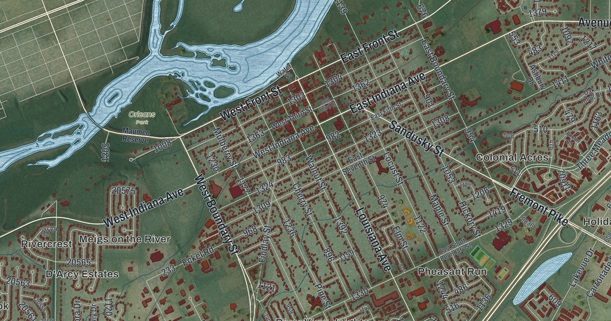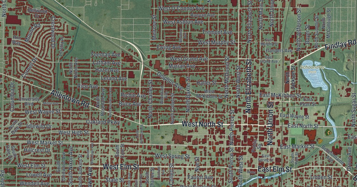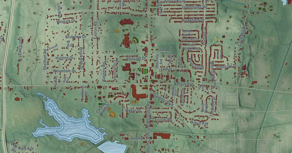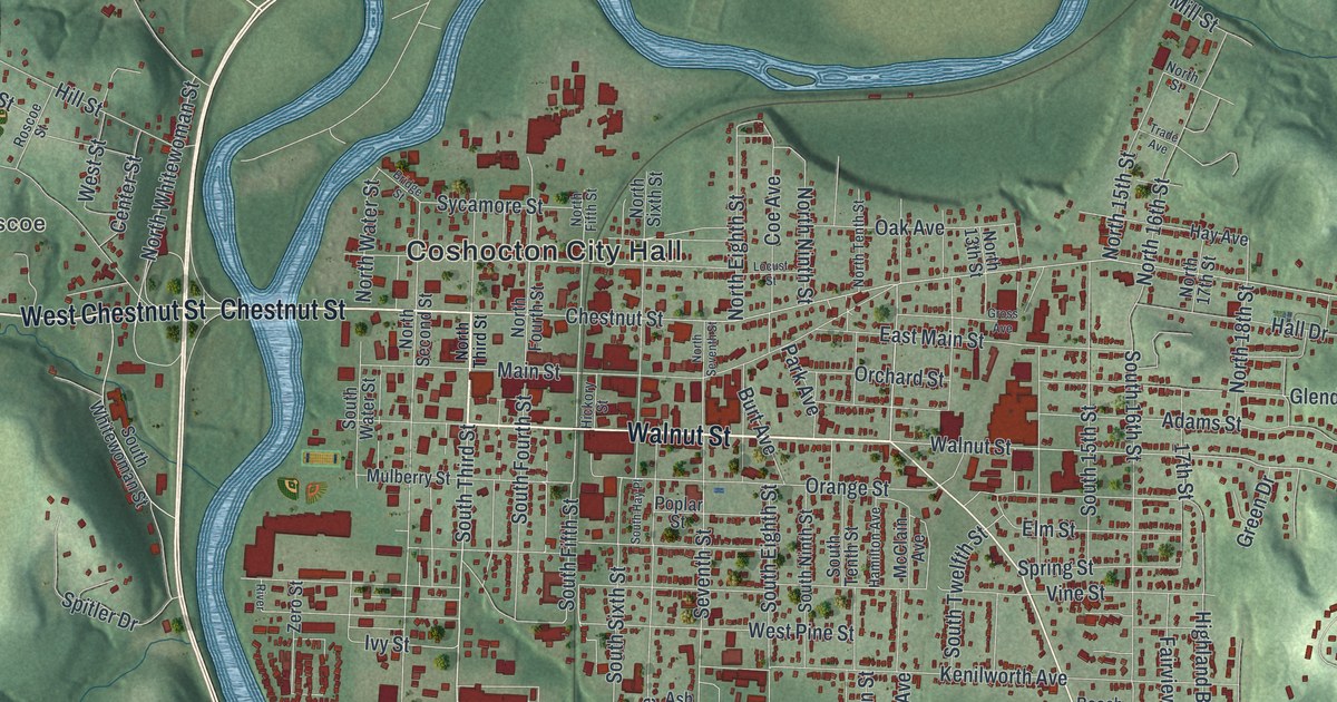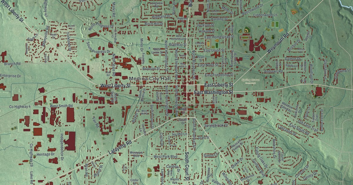
If you grew up in Medina, shopped around the square, or have family on the streets near it, this map gives you plenty to find. It's a modern aerial view of Medina in Medina County, Ohio, made from modern data with a vintage look. More than 12,000 buildings are marked in dark red on soft green hills. North Court Street and South Court Street run up and down through the middle of town. West Liberty Street and East Liberty Street cross them near Medina City Hall.
Court Street, Liberty Street and Spring Grove Cemetery
On this map you'll find North Court Street, South Court Street, West Liberty Street, East Liberty Street, Medina City Hall, East Washington Street, Pearl Road, Weymouth Road, Spring Grove Cemetery, Reagan Park, and more. Each red shape is a building, so zoom in on the preview and look for yours.
The map also prints Lafayette Road, Fair Road, Oak Street, Lake Road, Industrial Parkway, Wadsworth Road, Sturbridge Drive and Brandywine Drive. Many of the roads are labeled.
A. I. Root and his home on West Liberty Street
Amos Ives Root started the A. I. Root Company in Medina. In 1879 he built a house on West Liberty Street, soon after he moved his business off the town square. A state historical marker in front of the house calls him a pioneer of the beekeeping business. He helped make beekeeping tools standard. Two of them were the Langstroth hive, with frames you can lift out, and the spinning honey extractor. With tools like these, beekeepers could take more honey each season without harming the bees. Root also wrote and published a great deal. He taught beekeepers all over the world. Several generations of his family lived in the house until 1953.
The Root Homestead stands at 662 West Liberty Street. It was listed on the National Register of Historic Places in 1975. West Liberty Street is printed just west of Medina City Hall, and Norwalk Road and Stone Road are printed together in the top left corner of the map.
For anyone who knows Court Street and West Liberty Street
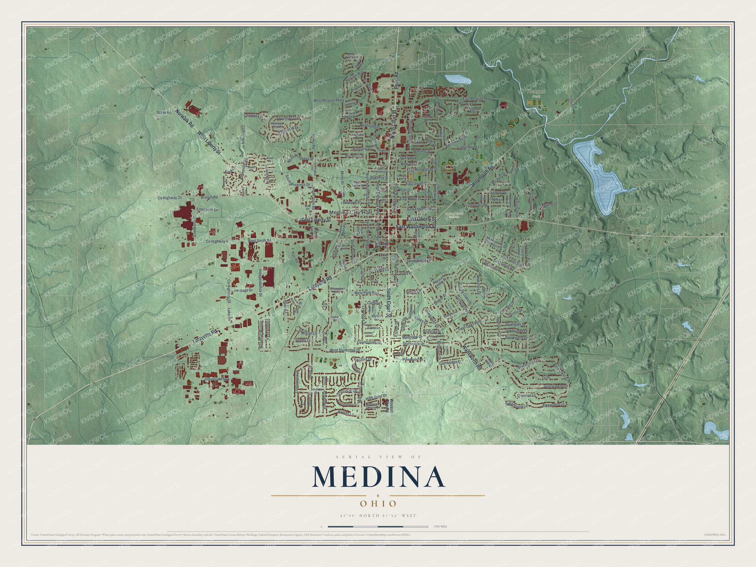
Created by KNOWOL in 2026, this Medina print sets dark red buildings on green land with soft shading. The map shows named streets on shaded green land. Near the top right, a winding blue river and a long lake sit beside Reagan Park. The title panel reads "Aerial View of Medina, Ohio" with 41°08' North 81°52' West and a one-mile scale bar.
It suits a front hall, a den or a home office. It's a good gift for someone who grew up near the square and moved away, or for a family that's known Spring Grove Cemetery and East Liberty Street for years. Open the preview and look for Medina City Hall, West Liberty Street and Norwalk Road. See sizes and frames for the Medina map.