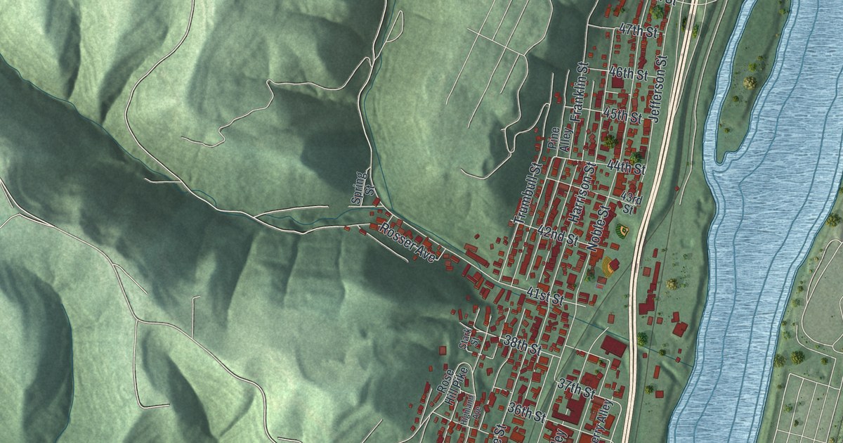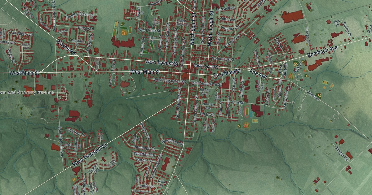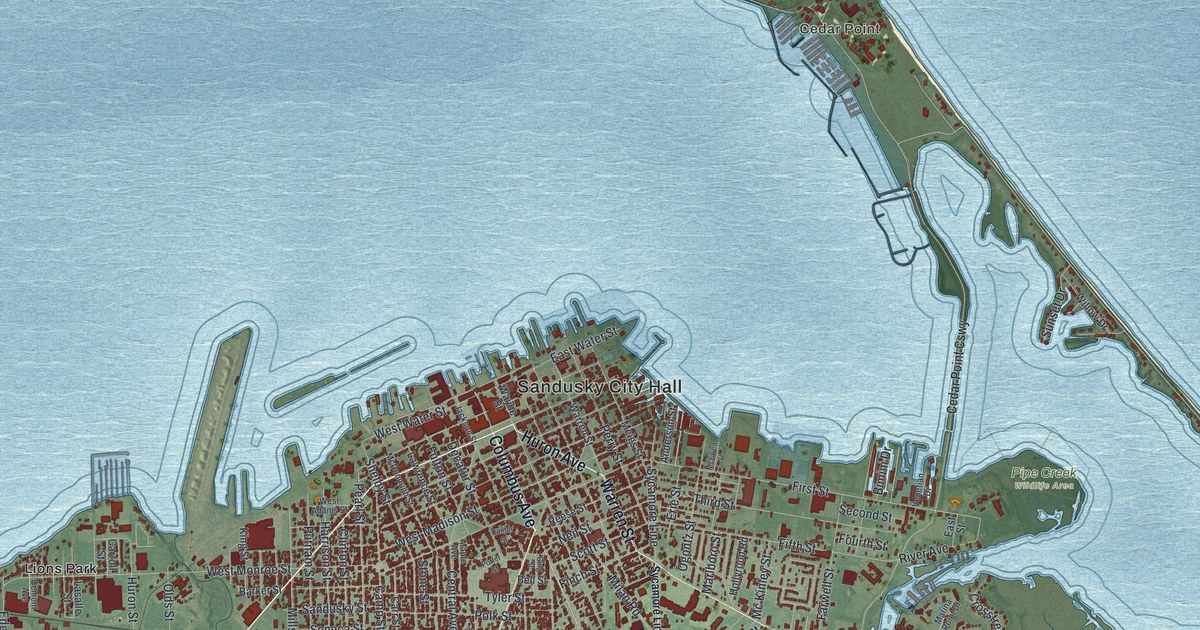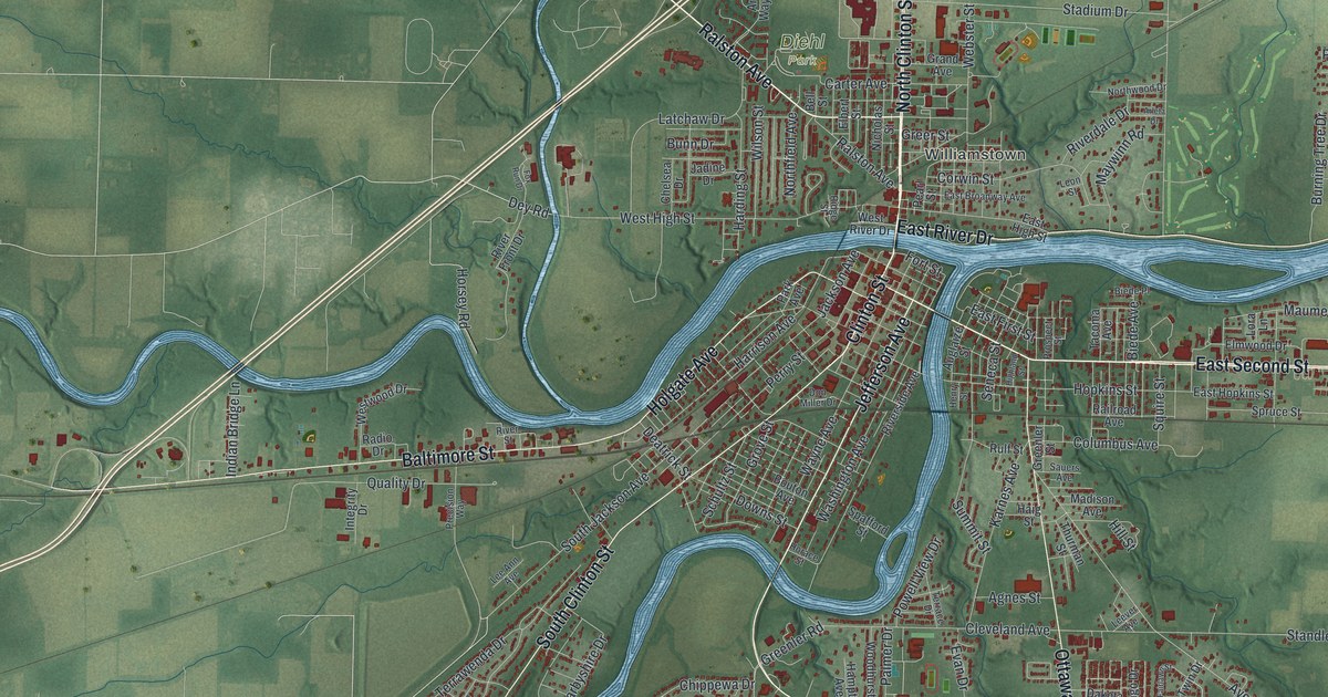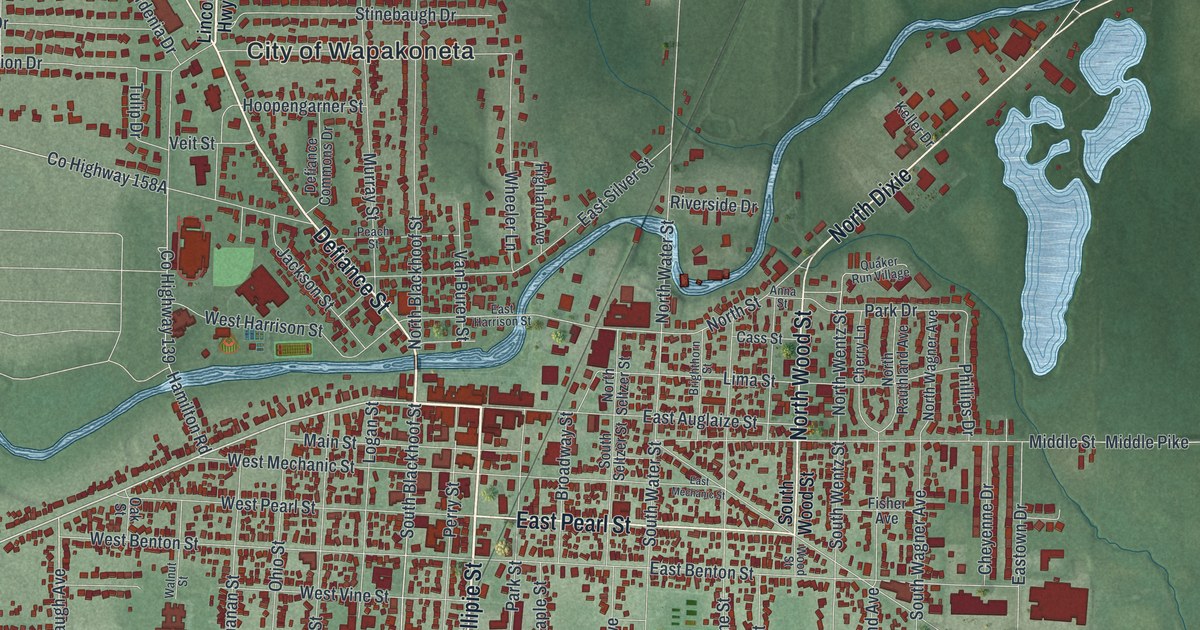
If you grew up in Wapakoneta or have family here, look for a familiar block. This modern aerial view of Wapakoneta in Auglaize County, Ohio pairs modern data with a vintage feel. Red buildings fill the street grid beside a winding blue river. The view takes in the town and the green fields around it.
West Auglaize Street and West Benton Street
On this map you'll find West Auglaize Street, East Auglaize Street, Main Street, West Benton Street, South Blackhoof Street, Willipie Street, Perry Street, Bellefontaine Street, Defiance Street, Redskin Trail, and more. Each red shape is a building, so zoom in on the preview and look for yours.
West Benton Street connects this map to Neil Armstrong's boyhood. The historical marker at his boyhood home tells how his family moved to 601 West Benton Street in 1944. Neil was 13. At home, he read flying magazines and built model planes. He took flying lessons at nearby Port Koneta airport. On his sixteenth birthday, he earned his pilot's license, before he had a driver's license. Armstrong graduated from Blume High School in 1947. A Navy scholarship took him to Purdue to study aircraft engineering. The Korean conflict interrupted his studies, and he flew 78 missions as a Navy pilot. He graduated from Purdue in 1955, then worked at what would become NASA's Glenn Research Center in Cleveland.
Keep West Auglaize Street close to home
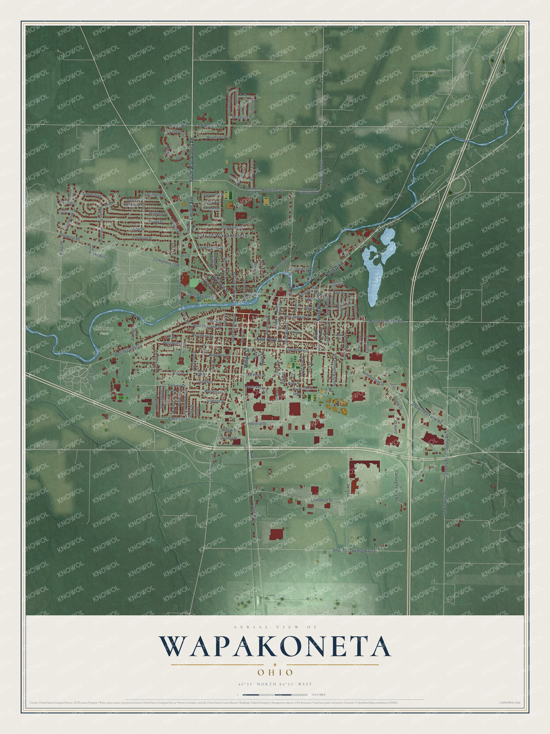
Created by KNOWOL in 2026, this print uses deep green land, blue water and dark red buildings. A cream border surrounds the view. The title panel reads "Aerial View of Wapakoneta, Ohio" with 40°35' North, 84°12' West.
Hang it in an office, den or entryway to keep home close. It's a gift for someone who grew up near West Auglaize Street and moved away. Open the preview and look for the streets your family knows. See sizes and frames for the Wapakoneta map.