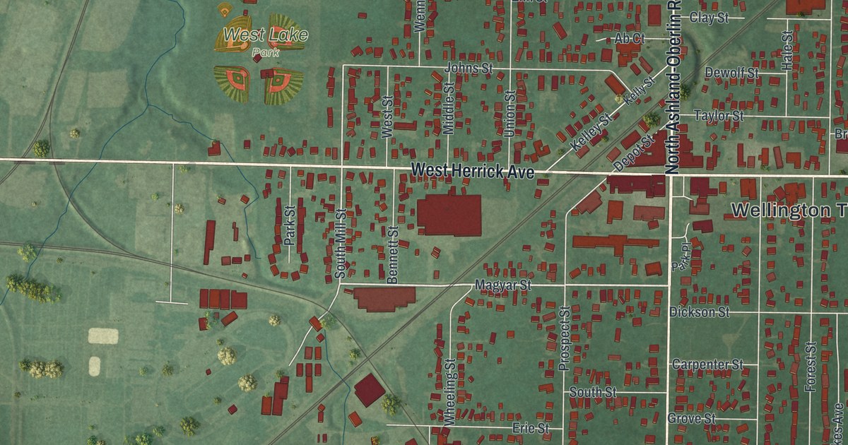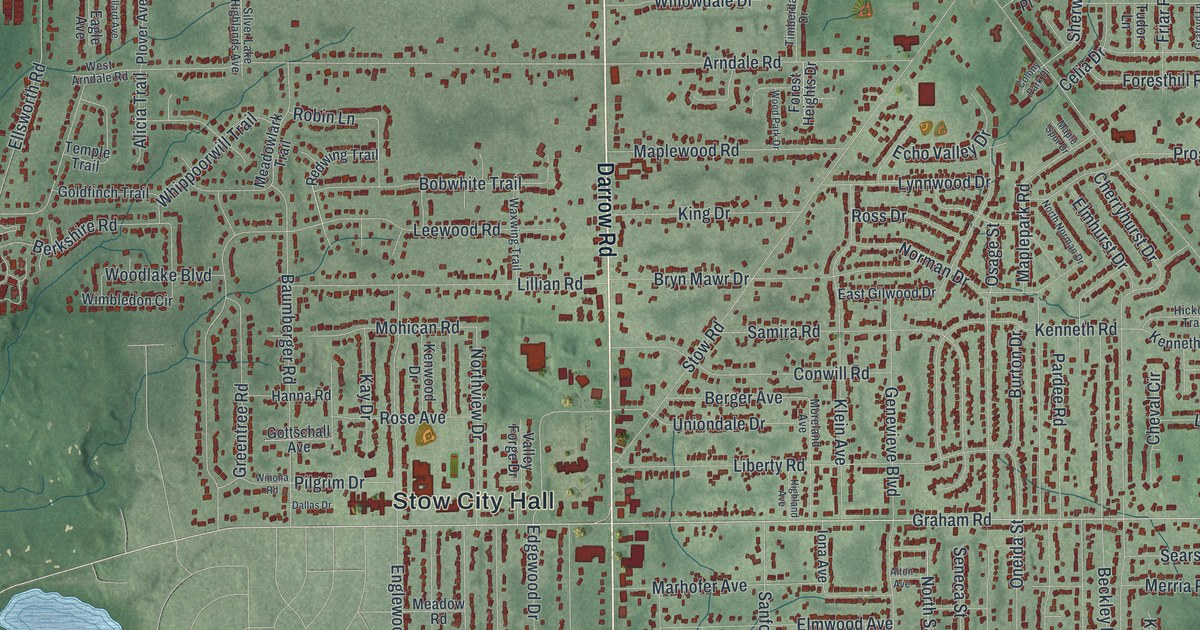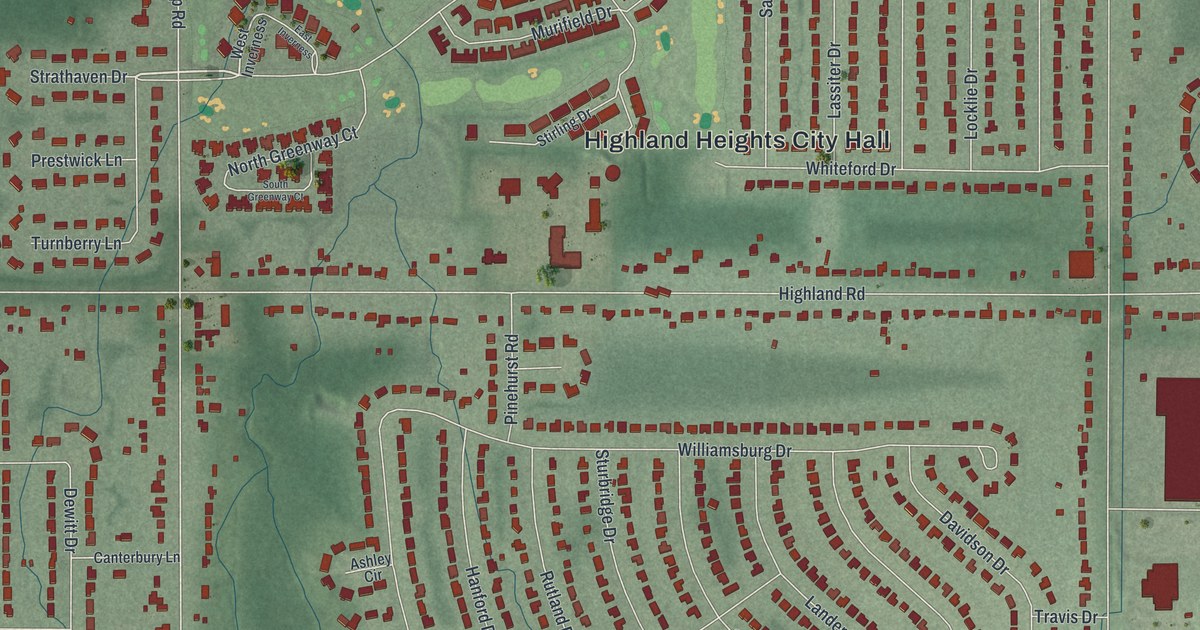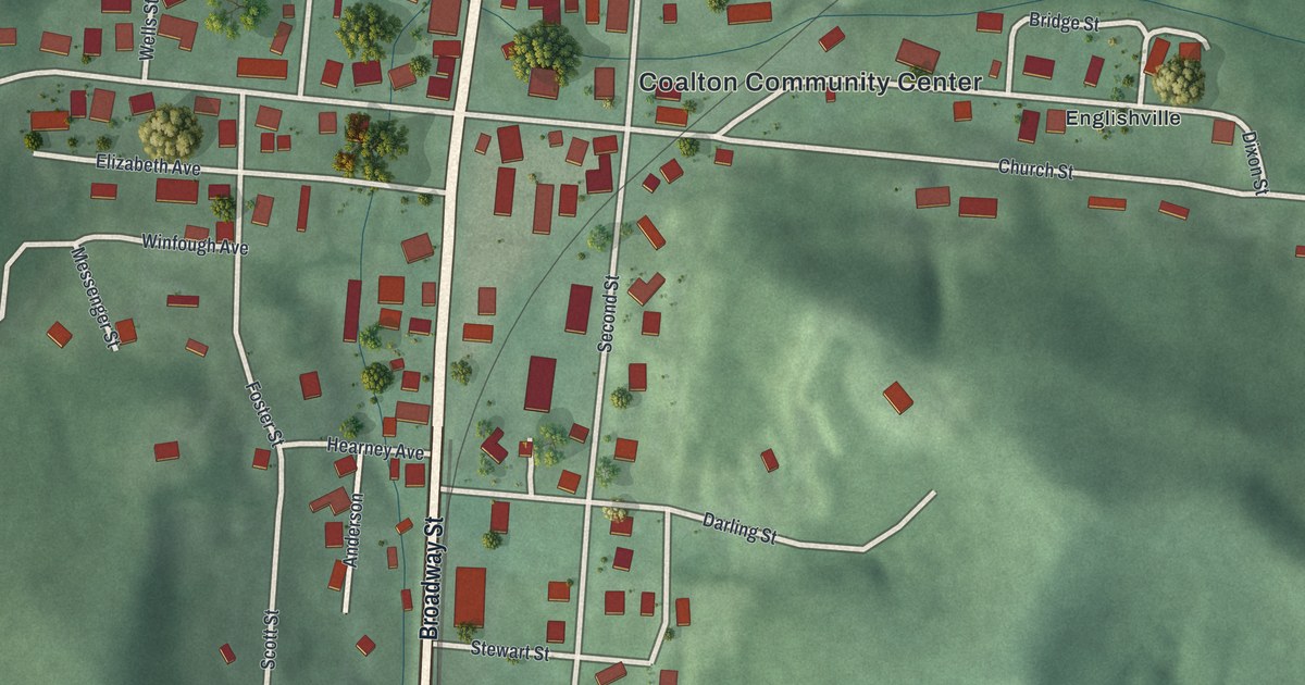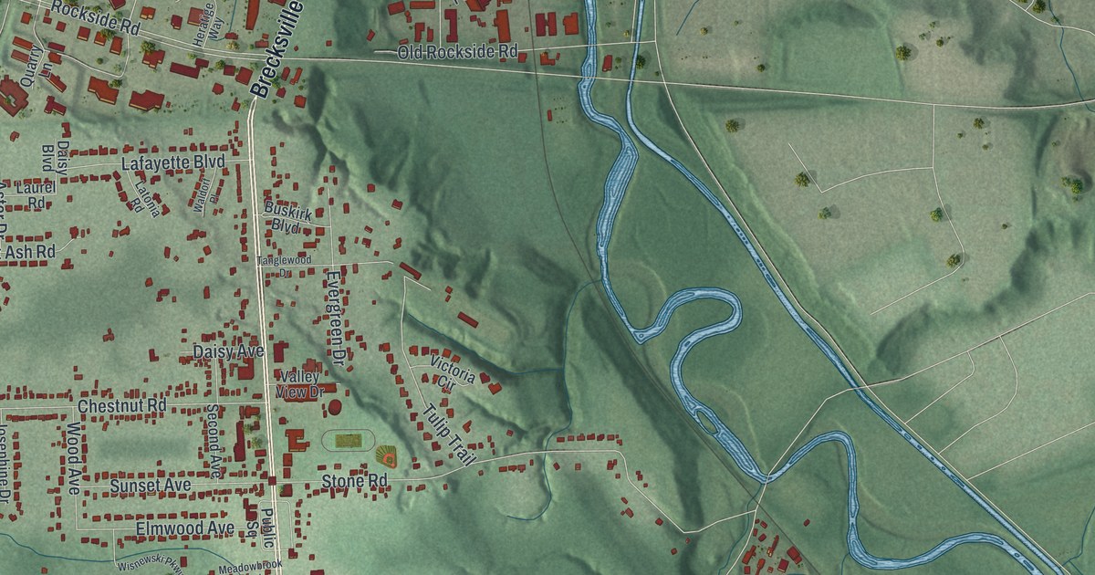
If you grew up in Independence, here's a way to keep your home streets close. This modern aerial view of Independence in Cuyahoga County, Ohio, uses modern data with a vintage feel. Red buildings stand out against green hills, with blue water winding through the valley. Independence City Hall and Elmwood Park give you familiar places to start looking.
Brecksville Road, Willow, and Elmwood Park
On this map you'll find Brecksville Road, Rockside Road, Granger Road, East Pleasant Valley Road, Independence City Hall, Elmwood Park, Willow, Chestnut Road, Hillside Road, Selig Drive, Brookside Road, Sprague Road, and more. Each red shape is a building, so zoom in on the preview and look for yours.
Willow has a place in the early story of highway travel. The Encyclopedia of Cleveland History says the Willow Cloverleaf was completed in 1940. It stood at Brecksville and Granger roads. It was one of the first highway interchanges in the country. On the map, look for Willow and those two road names. They're a link to that early chapter in how people got around.
An Independence print with City Hall and Willow
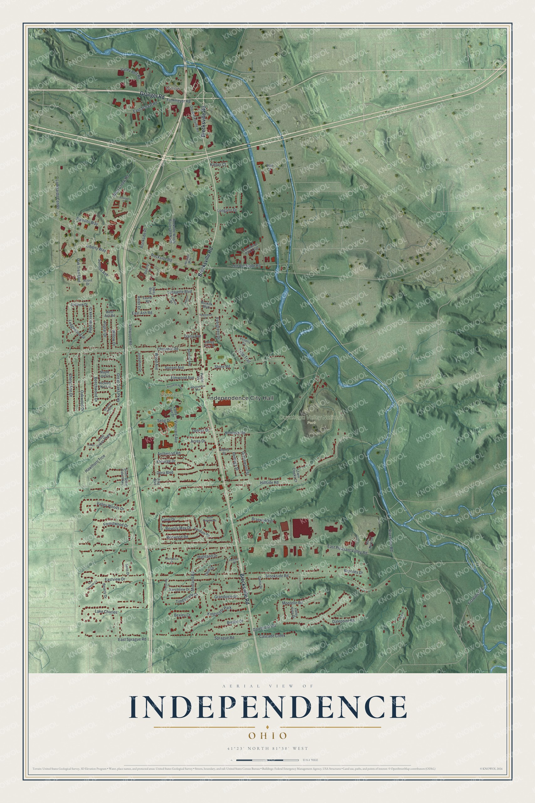
Created by KNOWOL in 2026, the print pairs green shaded hills with red buildings, blue water, and a cream border. The title panel reads AERIAL VIEW OF INDEPENDENCE, OHIO, with 41°23' NORTH 81°38' WEST below.
Hang it in a living room, home office, or entryway. It's a thoughtful gift for someone who grew up near Elmwood Park or moved away from Independence. Open the preview to find the streets you'd like to keep close. See sizes and frames for the Independence map.