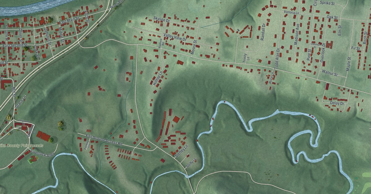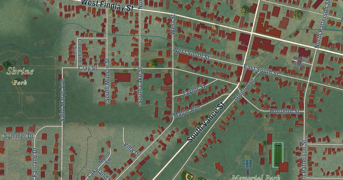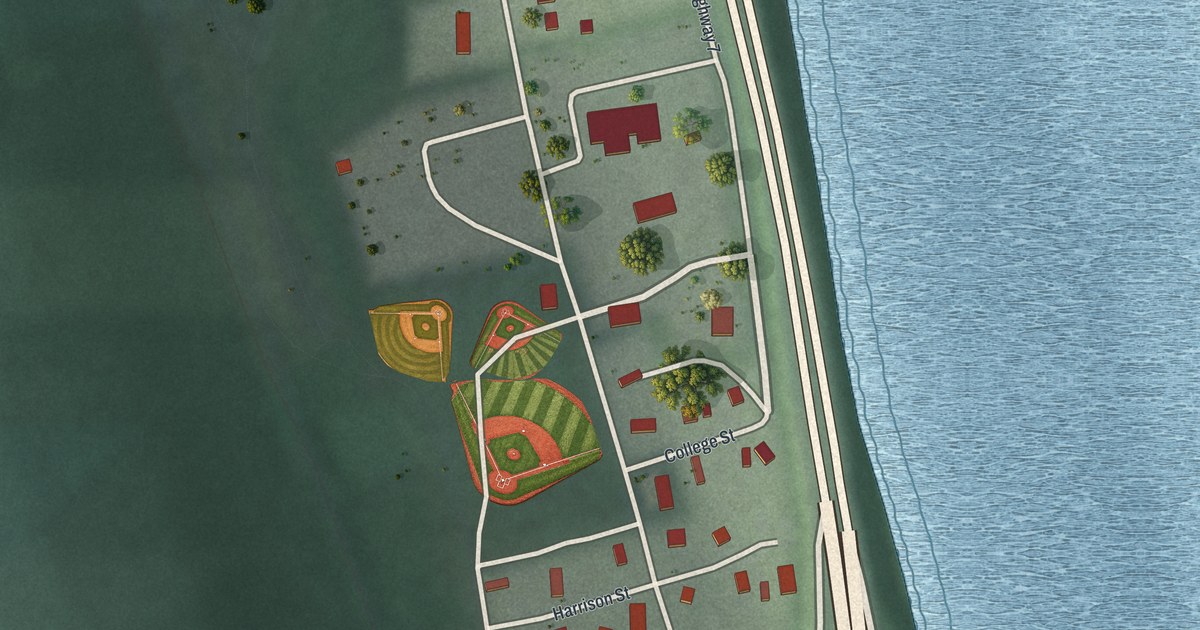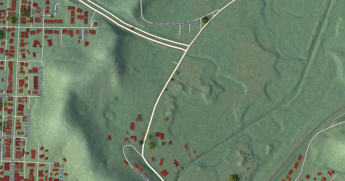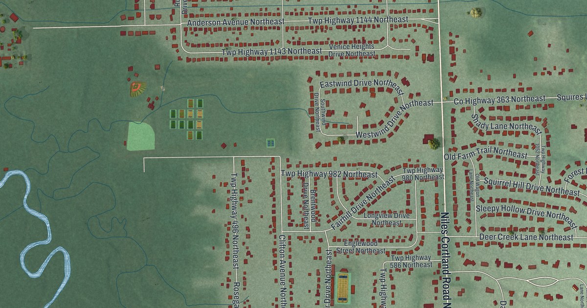
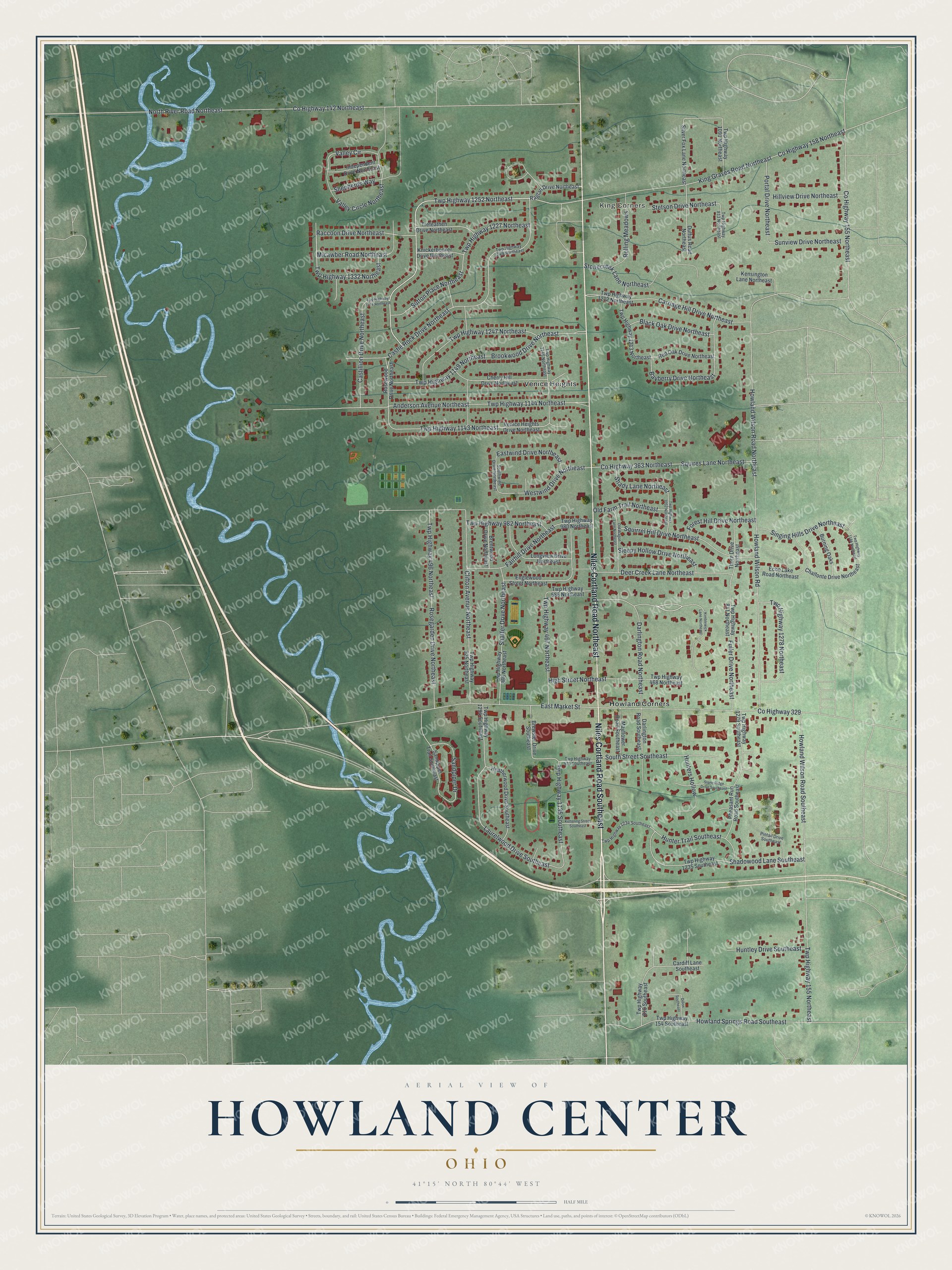
This beautifully detailed map of Howland Center, Ohio was created in 2026 using aerial imagery combined with modern topographical, census, street and landmark data. It’s a one-of-a-kind view of Howland Center that combines accurate data with a vintage aesthetic. The map shows every building in its true location, many of the roads carry their names, and the shaded topographic relief shows the shape of the land.
Explore an aerial view of Howland Center, Ohio
On the map you’ll find King Corners, Howland Corners, Venice Heights, Twp Highway 1252 Northeast, and Twp Highway 1332 Northeast, along with Niles Cortland Road Southeast, Niles Cortland Road Northeast, Valley Circle Northeast, Westwind Drive Northeast, Valley Circle, County Highway 155 Northeast, Howland Wilson Road, and more. If you look closely you can even find your house accurately drawn in its correct location. Zoom in on the preview to look for yours.
Did you know this piece of Howland Center, Ohio history?
In 1795, Joseph Howland bought Howland Township, which surrounds Howland Center, from the Connecticut Land Company. He descended from John Howland, who reached Plymouth aboard the Mayflower in 1620. The area stayed lightly settled for many years. That changed in 1953 with the new Clifton-Hyde housing development, and suburban growth followed.
Take a closer look at the Howland Center map
Street and place names on the Howland Center, Ohio map
These names are printed on the map of Howland Center, Ohio.
Places: King Corners, Howland Corners and Venice Heights.
Streets and roads: Niles Cortland Road Southeast, Niles Cortland Road Northeast, Twp Highway 1252 Northeast, Valley Circle Northeast, Twp Highway 1332 Northeast, Westwind Drive Northeast, Valley Circle, County Highway 155 Northeast, Howland Wilson Road, Howland Wilson Road Northeast, East Market Street, County Highway 142 Northeast.
More street names, A to Z
Anderson Avenue Northeast, Bayberry Drive Northeast, Black Oak Drive Northeast, Brentwood Drive Northeast, Brewster Drive Southeast, Brookwood Drive Northeast, Burning Oaks, Cardiff Lane Southeast, Carriage Hill Drive Northeast, Castillion Drive Northeast, Castle Rock Drive Northeast, Chalfonte Drive Northeast, Cherry Hill Drive Northeast, Clifton Avenue Northeast, County Highway 158 Northeast, County Highway 329, County Highway 363 Northeast, Darlington Road Northeast, Darlington Road Southeast, Deer Creek Lane Northeast, Dillon Southeast, Duffus Road Northeast, Eastwind Drive Northeast, Echo Lake Road Northeast, Englewood Street Northeast, Fairhill Drive Northeast, Forest Hill Drive Northeast, Fuller Drive Northeast, Heatherwood Drive Southeast, High Street Northeast, Hillview Drive Northeast, Howland Springs Road Southeast, Howland Wilson Road Southeast, Hunters Hollow, Hunter Trail Southeast, Huntley Drive Southeast, Independent Drive Northeast, Kensington Lane Northeast, Kettering Street Southeast, Kimblewick Lane Northeast, King Graves Road Northeast, Knickerbocker Drive Northeast, Laurelwood Drive Southeast, Longview Drive Northeast, Mayflower Road Southeast, Micawber Road Northeast, North River Road Northeast, Old Farm Trail Northeast, Old Wagon Lane Northeast, Pheasant Run Road Southeast, Pintail Drive Southeast, Portal Drive Northeast, Raccoon Drive Northeast, Raglan Drive Northeast, Red Oak Drive Northeast, Rolling Meadows, Rosegarden Drive Northeast, Rosewood Drive Northeast, Sandpiper Drive, Sandpiper Trail Southeast, Shadowood Lane Southeast, Shady Lane Northeast, Shaffer Drive Northeast, Shepherds Way, Silver Fox Lane Northeast, Singing Hills Drive Northeast, Sleepy Hollow Drive Northeast, South Street Southeast, Southwind Drive Northeast, Squires Lane Northeast, Squirrel Hill Drive Northeast, Stetson Drive Northeast, Stonecreek Lane Northeast, Stone Ridge Drive Southeast, Sunview Drive Northeast, Sutton Place Northeast, Thorn Drive Northeast, Trefeathen Drive Northeast, Twp Highway 154 Southeast, Twp Highway 155 Northeast, Twp Highway 467 Northeast, Twp Highway 468 Northeast, Twp Highway 496 Northeast, Twp Highway 575 Southeast, Twp Highway 586 Northeast, Twp Highway 810 Southeast, Twp Highway 811 Northeast, Twp Highway 813 Northeast, Twp Highway 866 Northeast, Twp Highway 925 Northeast, Twp Highway 980 Northeast, Twp Highway 982 Northeast, Twp Highway 1052 Northeast, Twp Highway 1091 Northeast, Twp Highway 1135 Southeast, Twp Highway 1143 Northeast, Twp Highway 1144 Northeast, Twp Highway 1146 Northeast, Twp Highway 1149 Northeast, Twp Highway 1186 Northeast, Twp Highway 1212 Northeast, Twp Highway 1213 Northeast, Twp Highway 1227 Northeast, Twp Highway 1234 Southeast, Twp Highway 1235 Southeast, Twp Highway 1247 Northeast, Twp Highway 1249 Northeast, Twp Highway 1274 Northeast, Twp Highway 1278 Northeast, Twp Highway 1279 Southeast, Twp Highway 1294 Southeast, Venice Heights Drive Northeast.
See the Howland Center, Ohio map on a wall
The Howland Center map as an 18 x 24 inch print in a black frame.

This beautifully detailed map of Howland Center makes an attractive addition to your office, library, or den, and it can even be used to teach children the geography and history of the area. It also makes a great gift for anyone who grew up in Howland Center or moved away. When you’re done exploring, click here to get your copy of the Howland Center map.