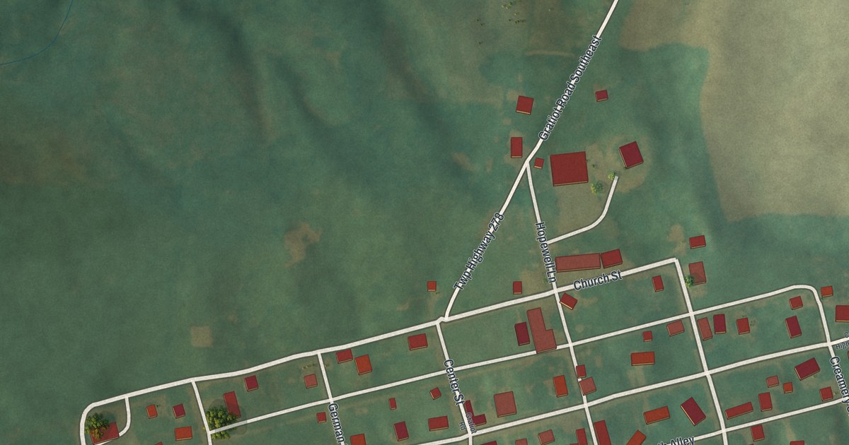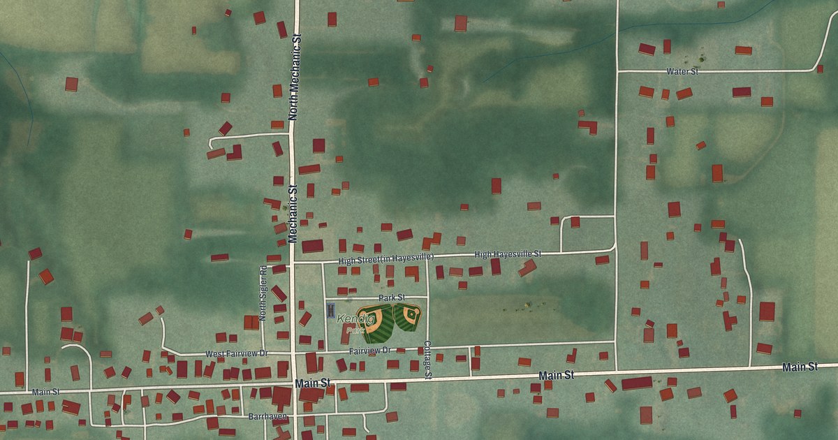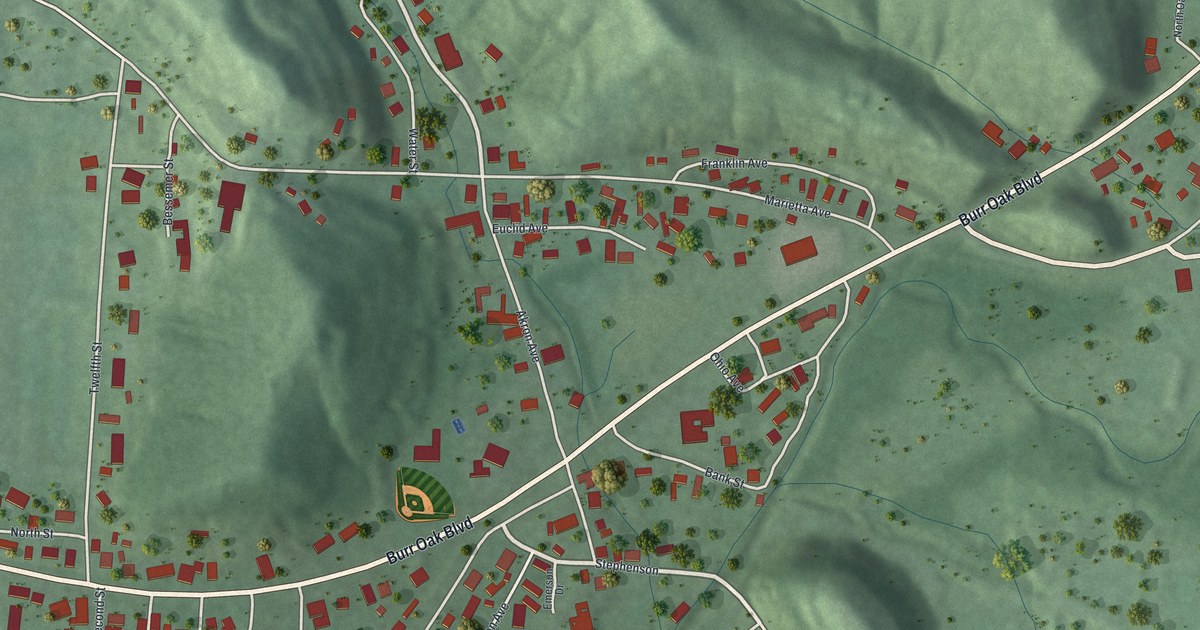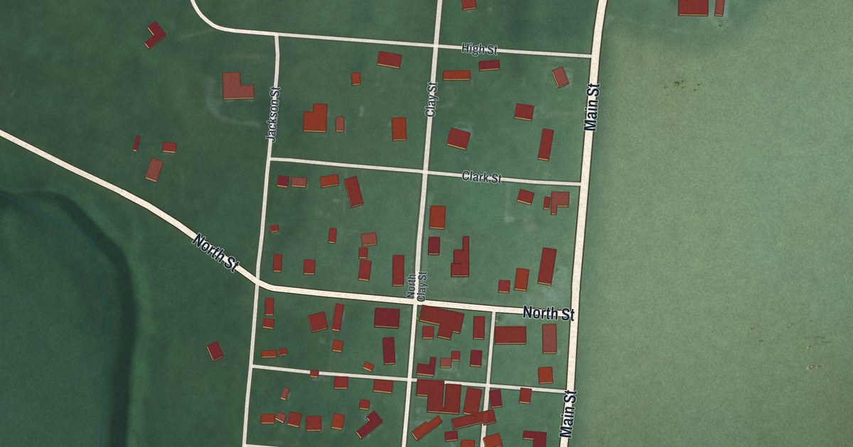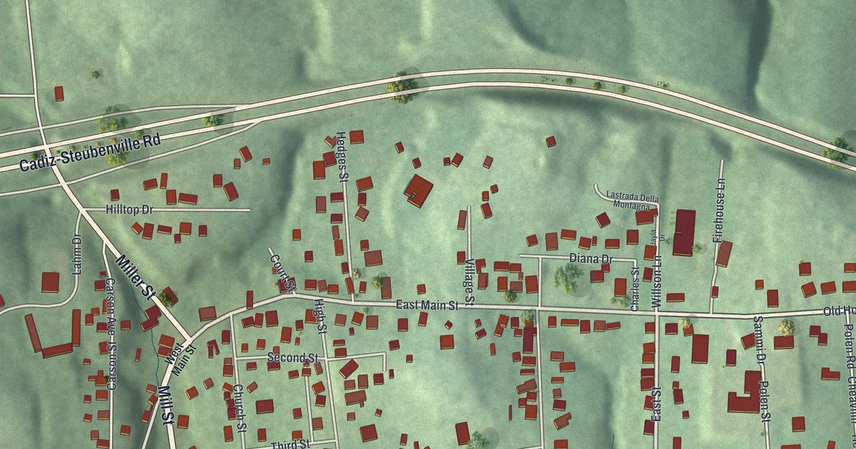
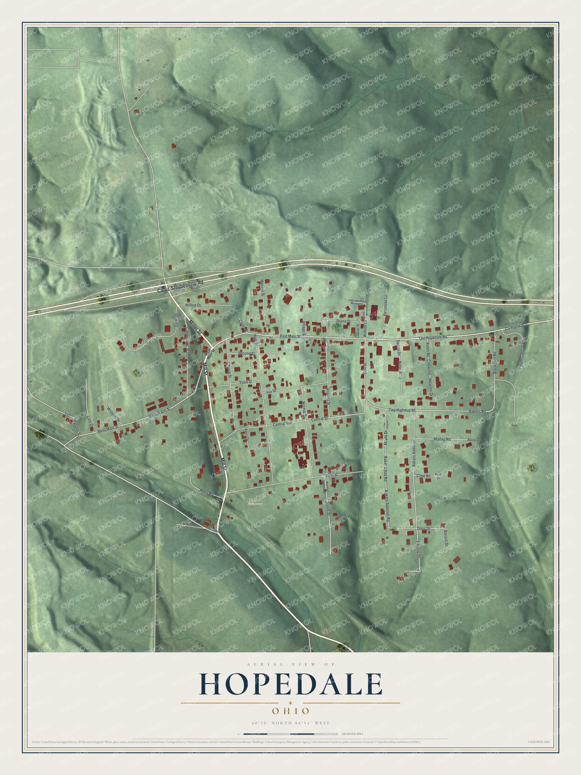
This beautifully detailed map of Hopedale, Ohio was created in 2026 using aerial imagery combined with modern topographical, census, street and landmark data. It’s a one-of-a-kind view of Hopedale that combines accurate data with a vintage aesthetic. The map shows every building in its true location, many of the roads carry their names, and the shaded topographic relief shows the shape of the land.
Explore an aerial view of Hopedale, Ohio
On the map you’ll find Hopedale Cemetery, along with Mill Street, Miller Street, Cadiz-Steubenville Road, West Main Street, East Main Street, Old Hopedale Road, County Highway 5, East Street, West Maint Street, Bakers Road, Willson Lane, and more. If you look closely you can even find your house accurately drawn in its correct location. Zoom in on the preview to look for yours.
Did you know this piece of Hopedale, Ohio history?
Before West Point, George Armstrong Custer studied in Hopedale at the McNeely Normal School. The school trained teachers and later became Hopedale Normal College. Custer and his classmate William Enos Emery hauled coal to cover room and board. He finished in 1856 and went on to teach school in Cadiz.
Take a closer look at the Hopedale map
Street and place names on the Hopedale, Ohio map
These names are printed on the map of Hopedale, Ohio.
Places: Hopedale Cemetery.
Streets and roads: Mill Street, Miller Street, Cadiz-Steubenville Road, West Main Street, East Main Street, Old Hopedale Road, County Highway 5, East Street, West Maint Street, Bakers Road, Willson Lane, Bakers Addition Road.
More street names, A to Z
Alice Drive, Baker's Add Road, Bakers Addition, Barach Drive, Blackburn Road, Carson Avenue, Carson Street, Central Avenue, Central Street, Charles Street, Cheavilin, Church Street, Cline Road, Court Street, Cross Street, Diana Drive, Doris Drive, Fifth Street, Firehouse Lane, Heavilin Drive, Hedges Street, High Street, Hilltop Drive, Jayla Drive, Kerri Drive, Lahm Drive, Lastrada Della Montagna, Lotti Drive, Malfeg Road, Maple Drive, Normal Street, Normal Street Extension, Pauline Drive, Penn Central Road, Polen Road, Polen Street, Rabbit Road, Rena Road, Ruth Drive, Sammi Drive, Second Street, South Street, Third Street, Twp Highway 66, Twp Road 66, Village Street, Virginia Street, Wabash Street, Writesel Drive.
See the Hopedale, Ohio map on a wall
The Hopedale map as an 18 x 24 inch print in a black frame.

This beautifully detailed map of Hopedale makes an attractive addition to your office, library, or den, and it can even be used to teach children the geography and history of the area. It also makes a great gift for someone who left Hopedale and still calls it home. When you’re done exploring, click here to get your copy of the Hopedale map.