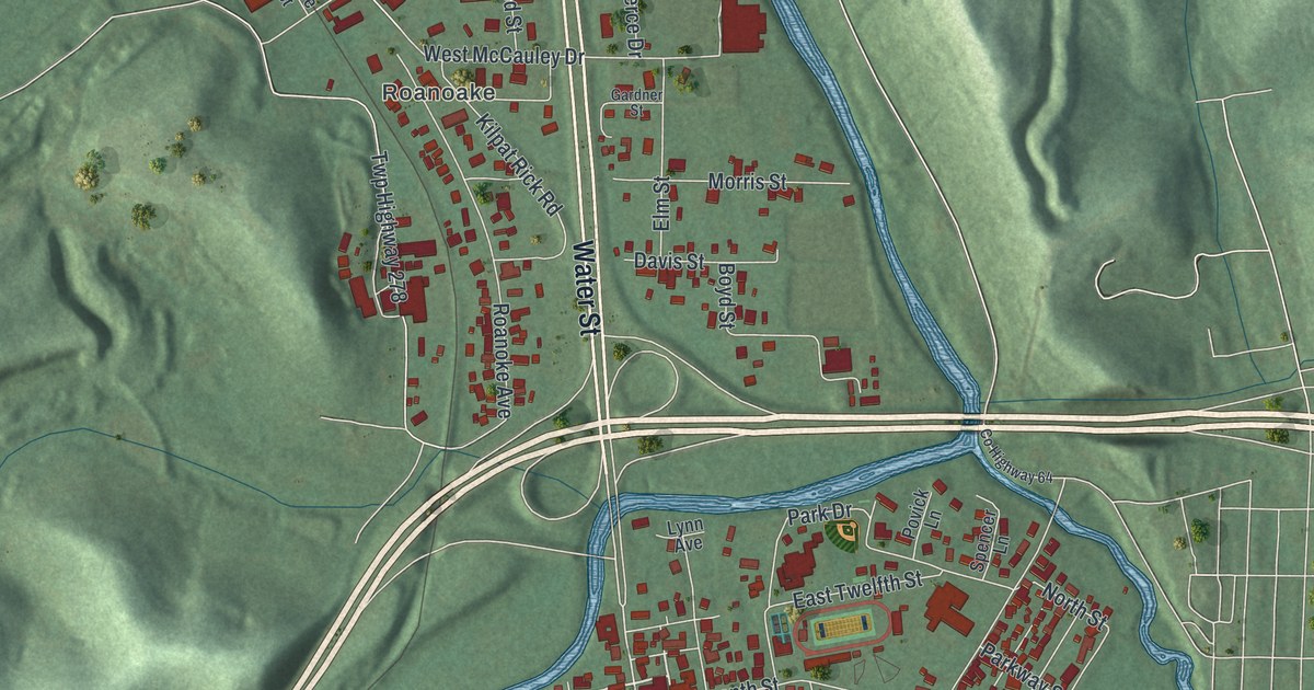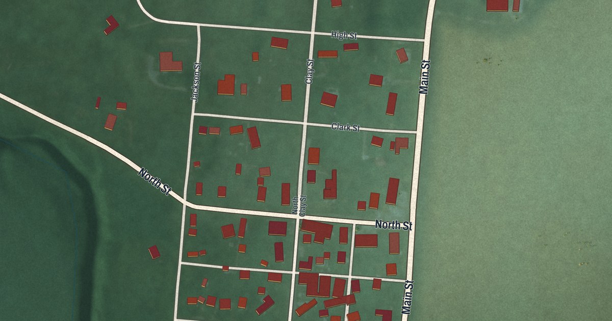
If you grew up in Clifton, look for your old block on this print. It's a modern aerial view of Clifton in Greene County, Ohio, built from terrain, street, water and building data, with a vintage feel. Red buildings line the village streets, with green land around them. A blue waterway bends past the village.
Clifton Mill and the village's early mills
On this map you'll find Main Street, North Street, Water Street, Clay Street, Dayton Street, Jackson Street, High Street, Clinton Street, Clark Street, Tanyard Road, Clifton Gorge State Nature Preserve, and more. Each red shape is a building, so zoom in on the preview and look for yours.
Clifton became a place for mills. The Historical Clifton marker says the area's natural geography gave it ideal conditions for them. Davis Mill started in 1802. Known today as Clifton Mill, it made meal and flour for Civil War troops. A woolen mill here also supplied the American army during the War of 1812. Later, rail traffic passed the village by, and manufacturers left. On the print, the blue water bends past the village and Water Street runs just above it.
Main Street and Clifton Gorge on your wall
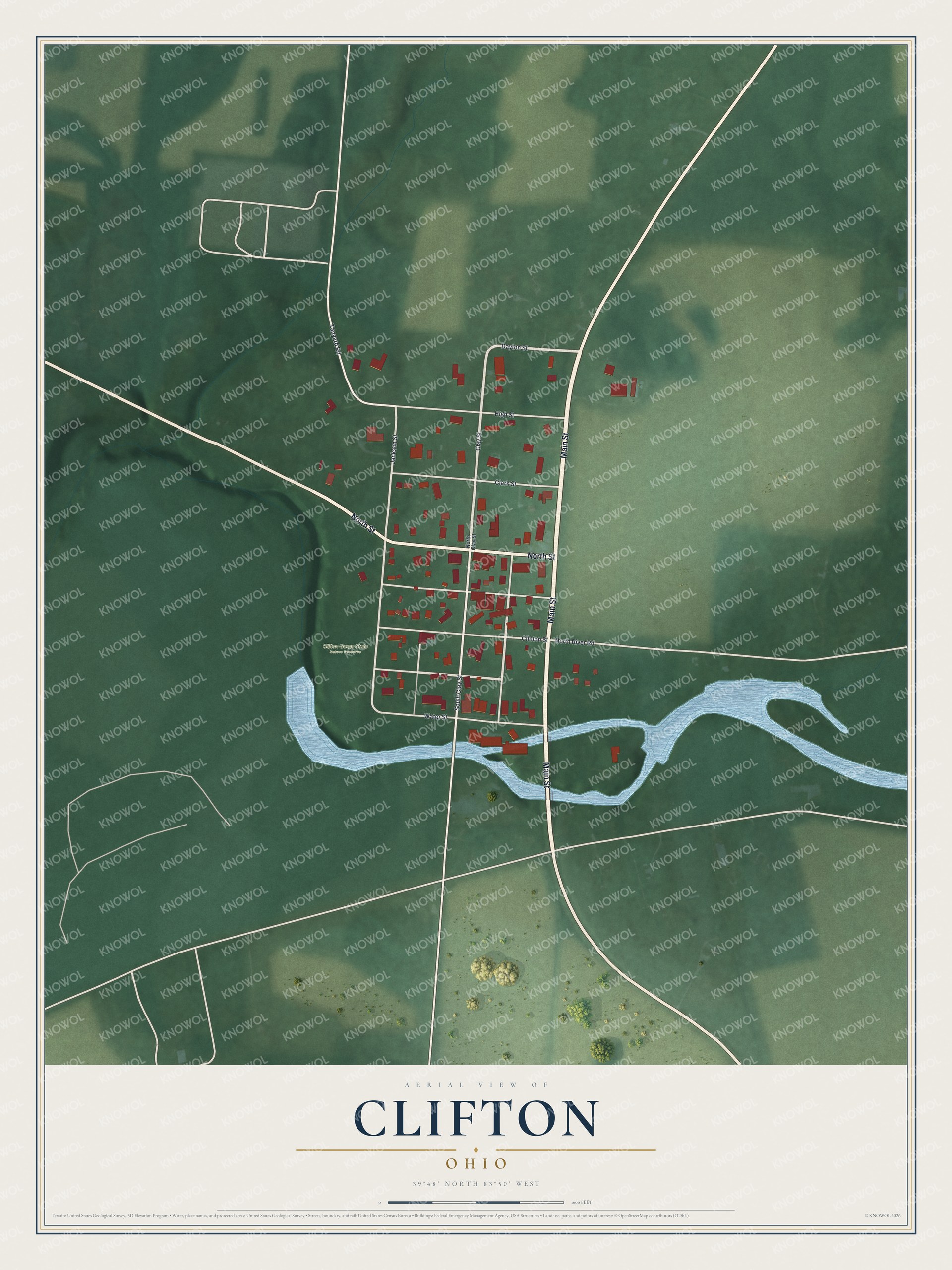
Created by KNOWOL in 2026, the print sits inside a cream border. The title panel reads AERIAL VIEW OF CLIFTON, OHIO, with 39°48' NORTH 83°50' WEST below.
It suits a living room, office, or entryway. It's a gift for someone who grew up near Main Street or moved away from Clifton. Open the preview to find a familiar street, then picture it on your own wall. See sizes and frames for the Clifton map.