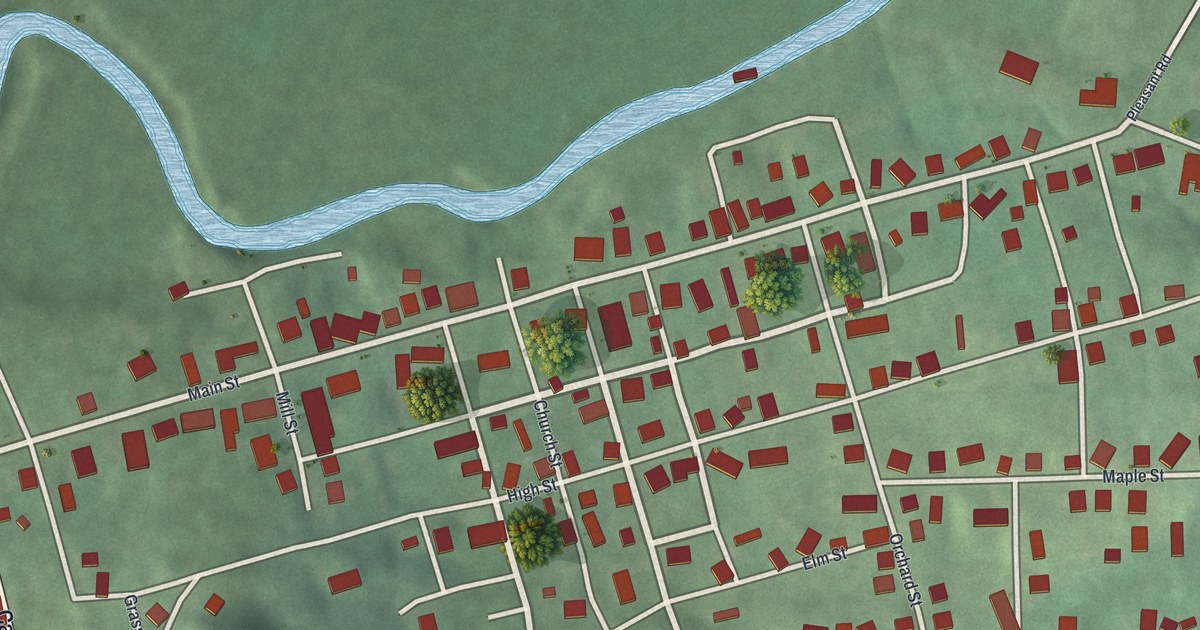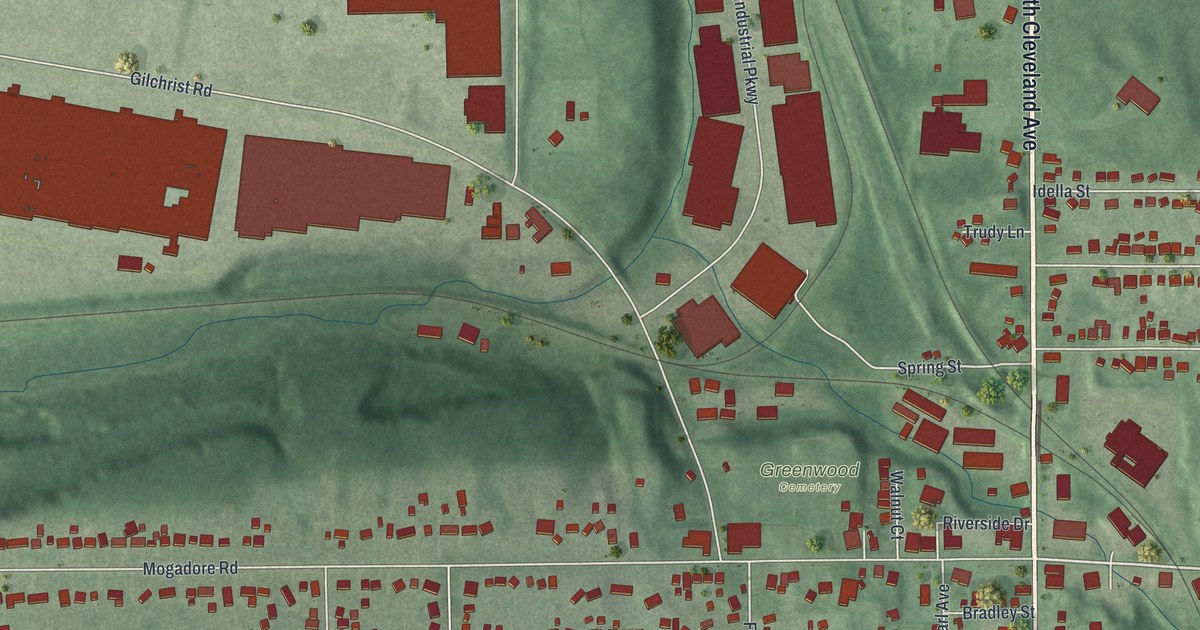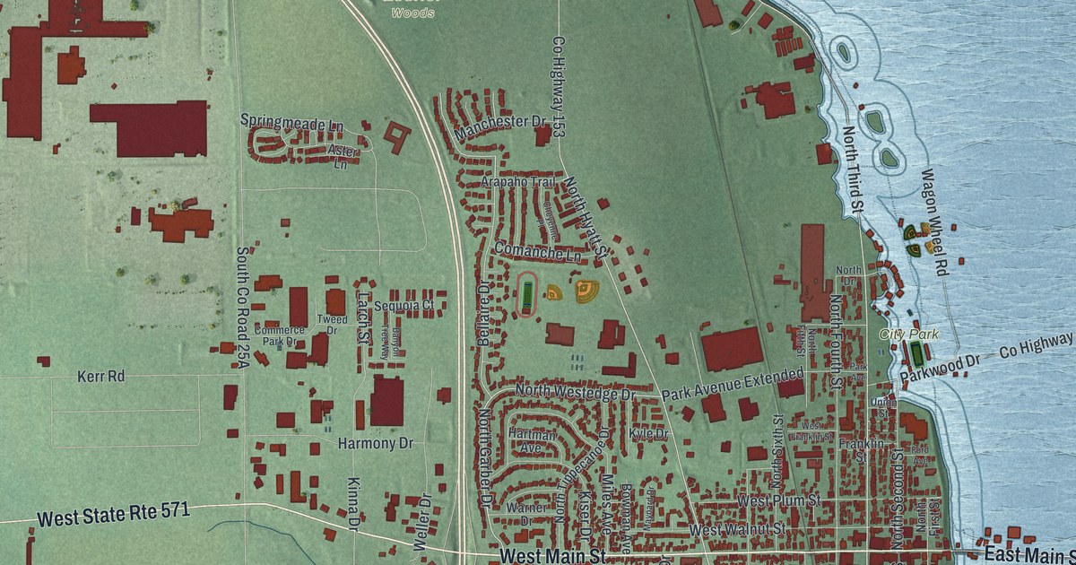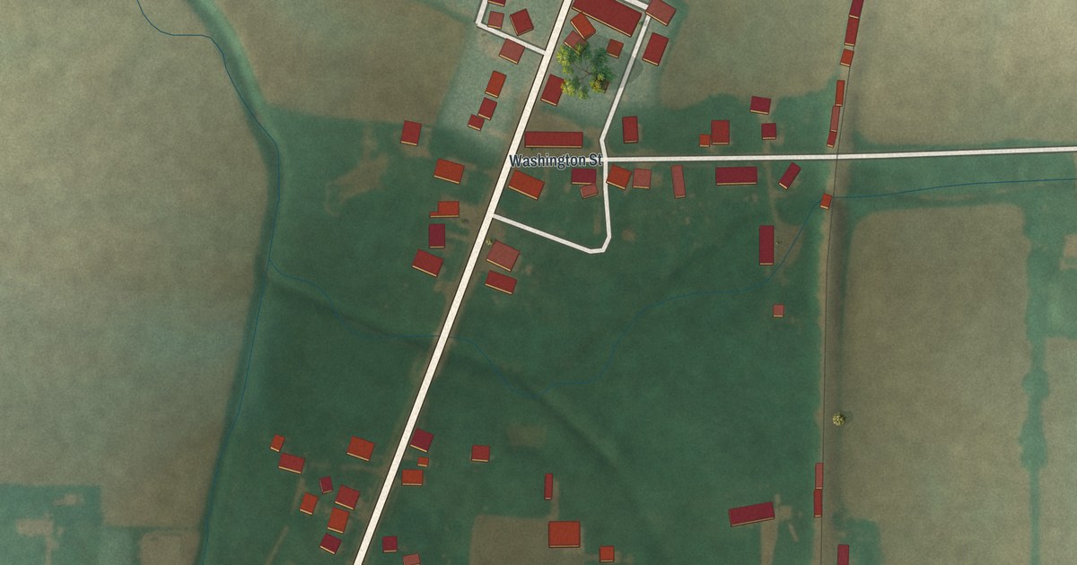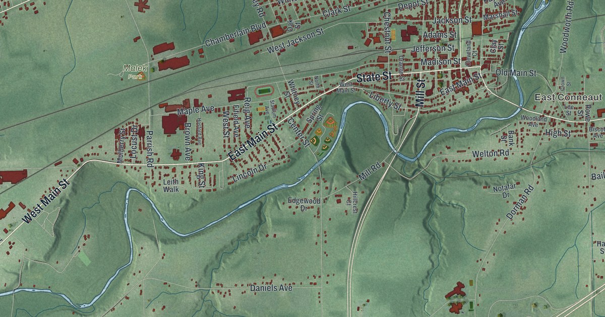
If you grew up in Conneaut or still have family near State Street and the harbor, this map shows your hometown from above. It's a modern aerial view of Conneaut in Ashtabula County, Ohio, made from modern data and given a vintage feel. Lake Erie fills the top of the sheet in soft blue. Creeks wind toward the lake. Red buildings crowd the downtown streets, and quiet roads cross the green ridges to the south.
The Fourth of July landing at Conneaut Creek
On this map you'll find West Main Street, East Main Street, State Street, Broad Street, Harbor Street, Mill Street, Lake Road, Liberty Street, Buffalo Street, Depot Street, East Lake Erie Avenue, Evergreen Lake Park, Lakeville, East Conneaut, Amboy, Farnham, and more. Each red shape is a building, so zoom in on the preview and look for yours.
Conneaut's best-known story starts on the Fourth of July. On July 4, 1796, Moses Cleaveland and his survey party landed at the mouth of Conneaut Creek. They worked for the Connecticut Land Company. Their job was to survey the Western Reserve and start a town on the Cuyahoga River. That town later became Cleveland. Here at Conneaut, the men pitched tents and built a rough shelter for their food and tools. Then they marked the young country's birthday with toasts and salutes. The next day they split into field teams and began the survey. An Ohio historical marker tells this story. Conneaut Creek runs into Lake Erie at the harbor, and Harbor Street is printed on the map.
Harbor Street, Depot Street and Liberty Street
Some of Conneaut's old buildings are on the National Register. The Conneaut Light Station Keeper's Dwelling stands on Harbor Street. The Lake Shore and Michigan Southern passenger depot is on Depot Street. The David Cummins Octagon House is on Liberty Street.
Lake Road and South Ridge Road West
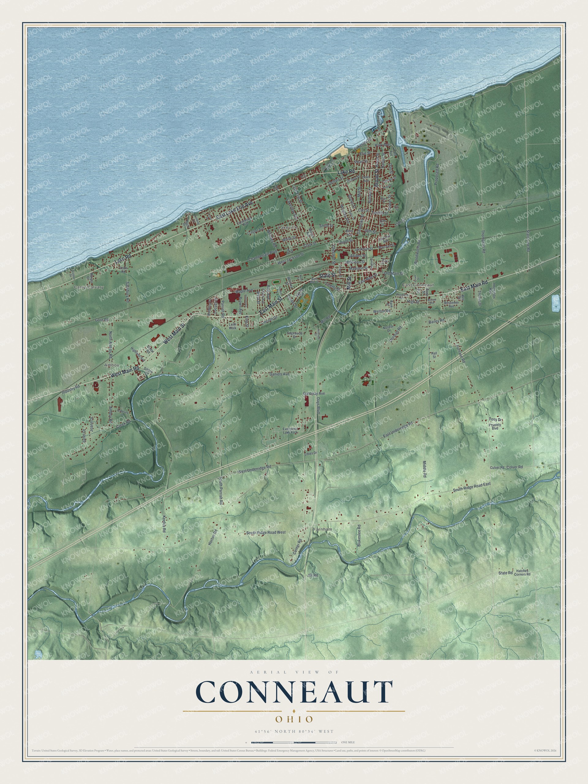
Created by KNOWOL in 2026, this print's title panel reads "Aerial View of Conneaut, Ohio" with the coordinates 41°56' North 80°34' West.
It fits a living room, a den or an office with a view of the lake. It's a good gift for someone who grew up near Harbor Street or Evergreen Lake Park and now lives far away. Open the preview and find your street. See sizes and frames for the Conneaut map.