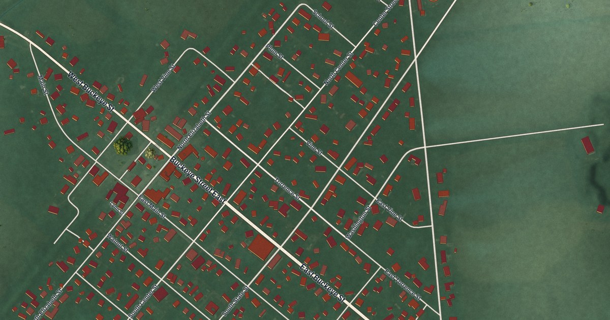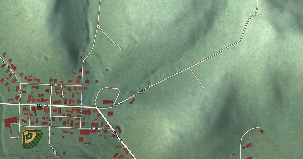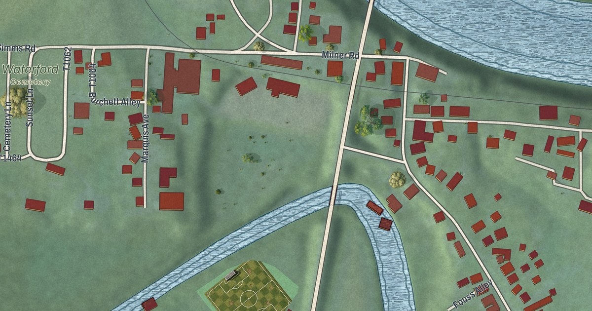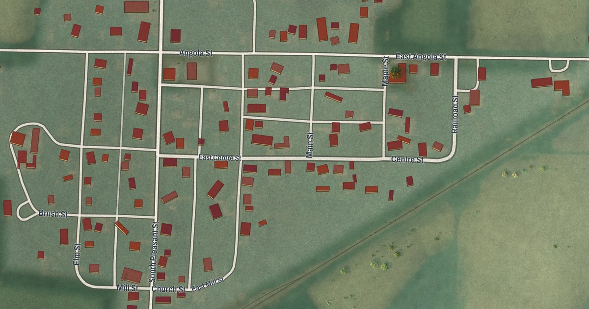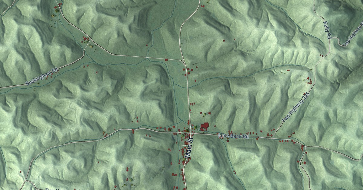
This beautifully detailed map of Union Furnace, Ohio was created in 2026 using aerial imagery combined with modern topographical, census, street and landmark data. It’s a one-of-a-kind view of Union Furnace that combines accurate data with a vintage aesthetic. The map shows every building in its true location, many of the roads carry their names, and the shaded topographic relief shows the shape of the land.
Explore an aerial view of Union Furnace, Ohio
On the map you’ll find Haydenville, along with Main Street, Haydenville Road, Cox Road, Vickers Road, Nickel Plate Road, Laurel Run Road, Moore Road, Loomis Road, Twp Highway 326, Greasy Ridge Road, Twp Highway 354, and more. If you look closely you can even find your house accurately drawn in its correct location. Zoom in on the preview to look for yours.
Did You Know?
From Internet Archive: "Probably Turnbull supplied the capital, and Marmie, a Frenchman who had come over with Lafayette, the technical skill, A year or two later Isaac Meason established Union Furnace on Dunbar Creek."
Union Furnace is a community in Hocking County.
Take a closer look at the Union Furnace map
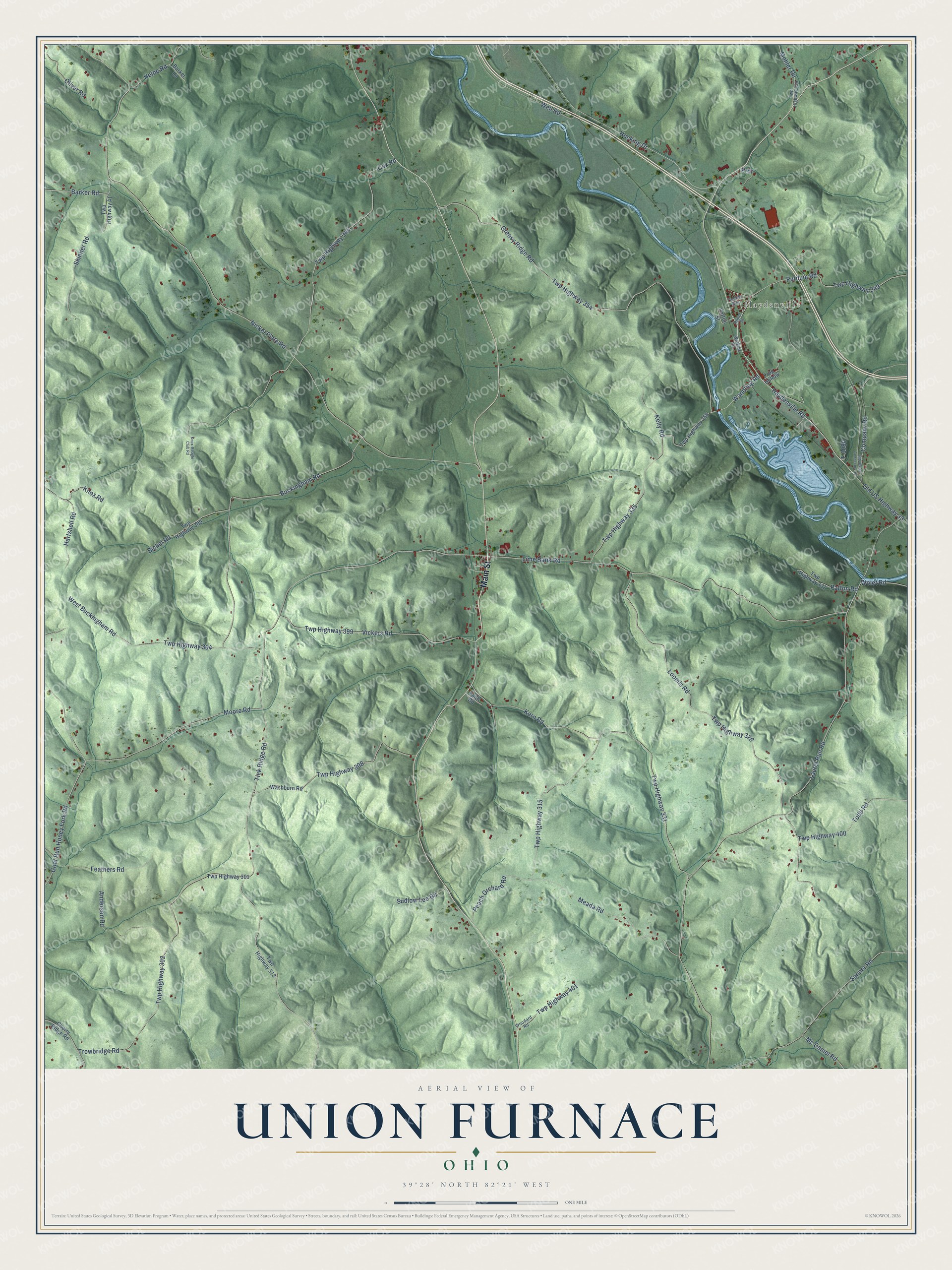
Names on this map
These names are printed on this map.
Places: Haydenville.
Streets and roads: Main Street, Haydenville Road, Cox Road, Vickers Road, Nickel Plate Road, Laurel Run Road, Moore Road, Loomis Road, Twp Highway 326, Greasy Ridge Road, Twp Highway 354, Tick Ridge Road.
More street names, A to Z
Anderson Road, Barker Lane, Barker Road, Bickel Road, Buckingham Road, Cherry Ridge Road, Company Road, Faith Road, Feathers Road, Frog Hollow, Goat Run Honey Fork Road, Hartshell Road, Heine Road, Hocking Drive, Kelly Road, Kern Road, Knox-Beagle Club Road, Knox Road, Lime Bank Road, Mc Daniel Road, Meada Road, Mohler Road, Old US 33 Connector Road, Old US Highway 33, Oliver Road, Patton Road, Patton Street, Peach Orchard Road, Prdr, Purdum Road, Rubel Street, Sanner Road, Skinner Road, Sudlow Lee Road, T-1080, Thelma Avenue, Todd Road, Trowbridge Road, Twp Highway 41, Twp Highway 301, Twp Highway 302, Twp Highway 304, Twp Highway 308, Twp Highway 309, Twp Highway 313, Twp Highway 315, Twp Highway 331, Twp Highway 335, Twp Highway 337, Twp Highway 344, Twp Highway 349, Twp Highway 355, Twp Highway 359, Twp Highway 399, Twp Highway 400, Twp Highway 401, Wandling Road, Washburn Road, Watkins Road, Well Road, West Buckingham Road, Wolet Road, Woodard Road.
See it on a wall
The Union Furnace map as a framed print. Swipe for more.


This beautifully detailed map of Union Furnace makes an attractive addition to your office, library, or den, and it can even be used to teach children the geography and history of the area. It also makes a great gift for anyone who grew up in Union Furnace or moved away. When you’re done exploring, click here to get your copy of the Union Furnace map.