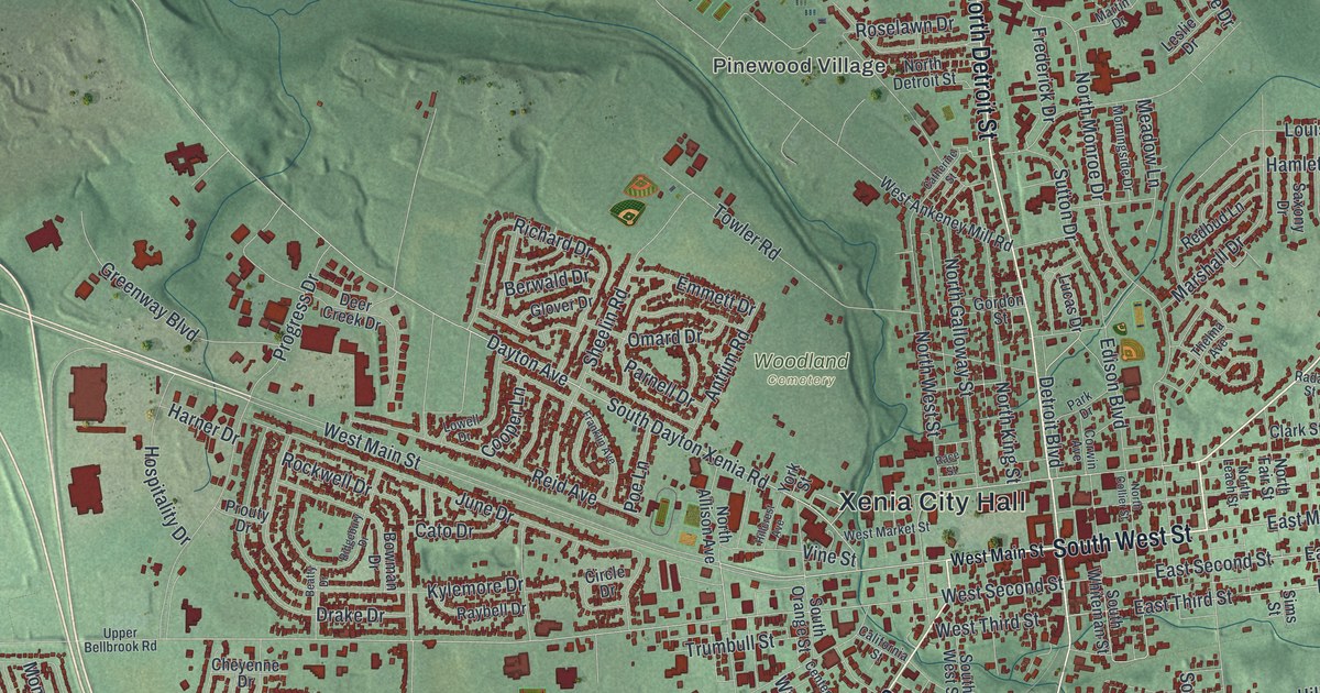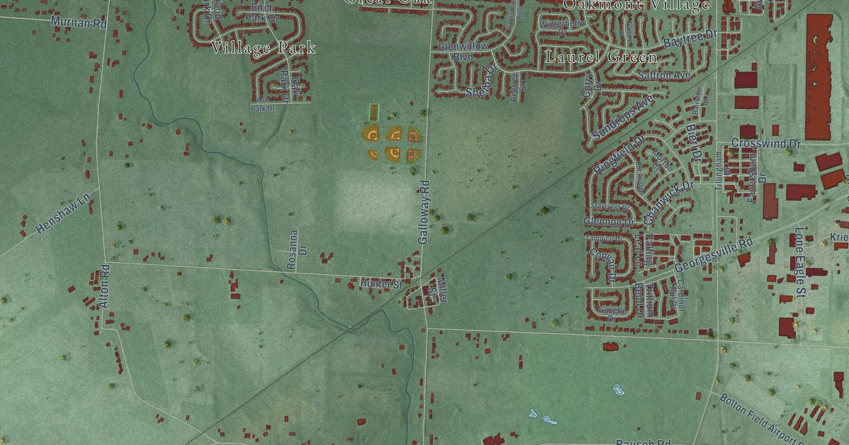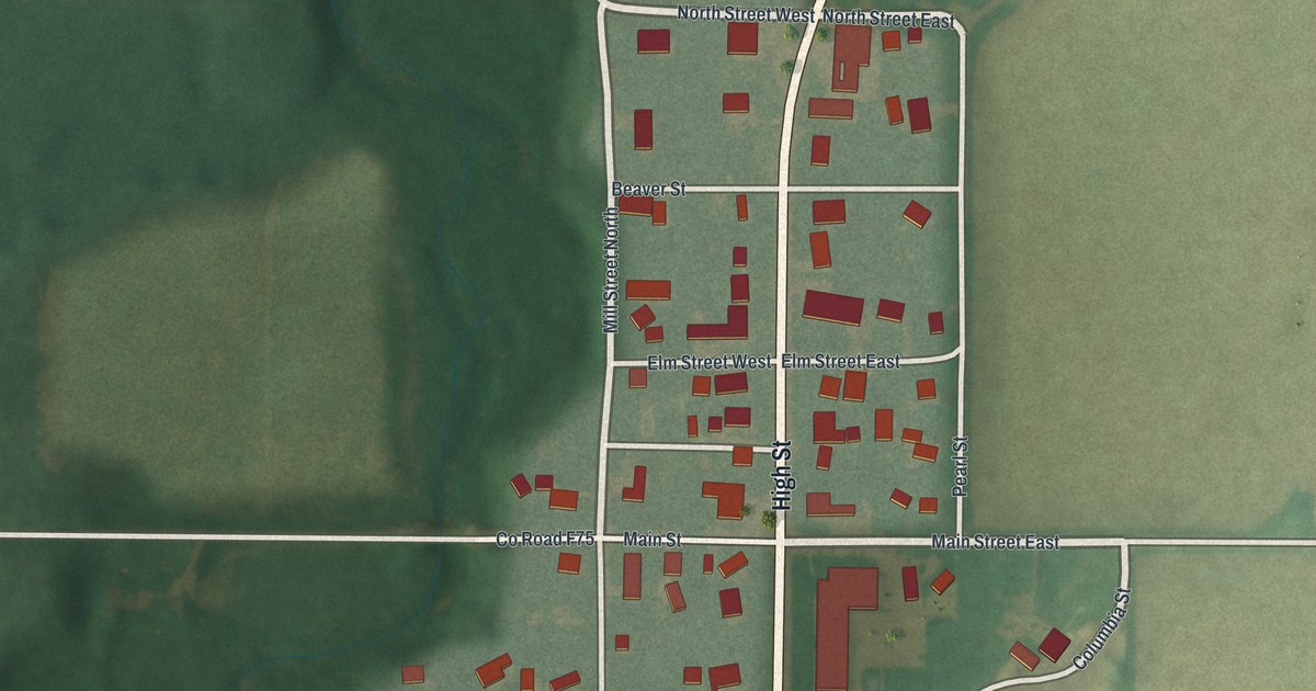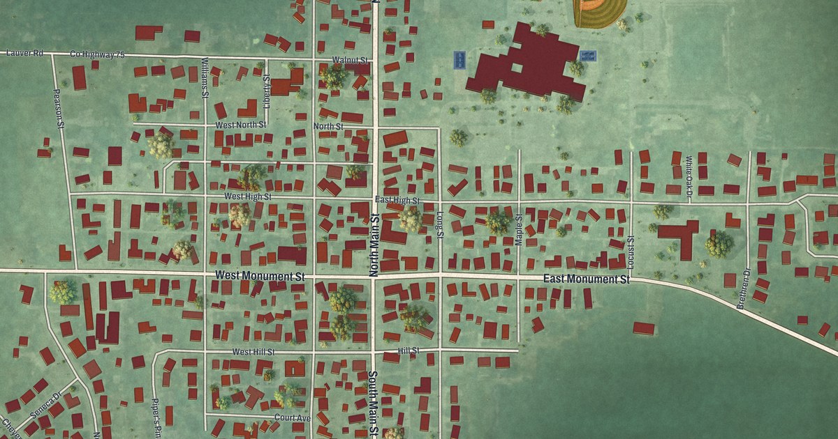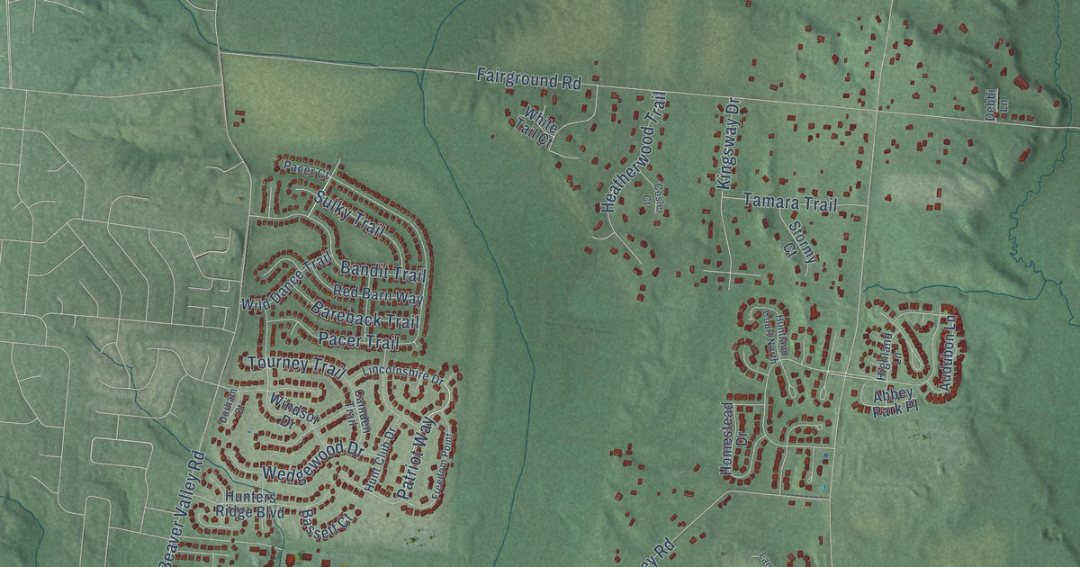
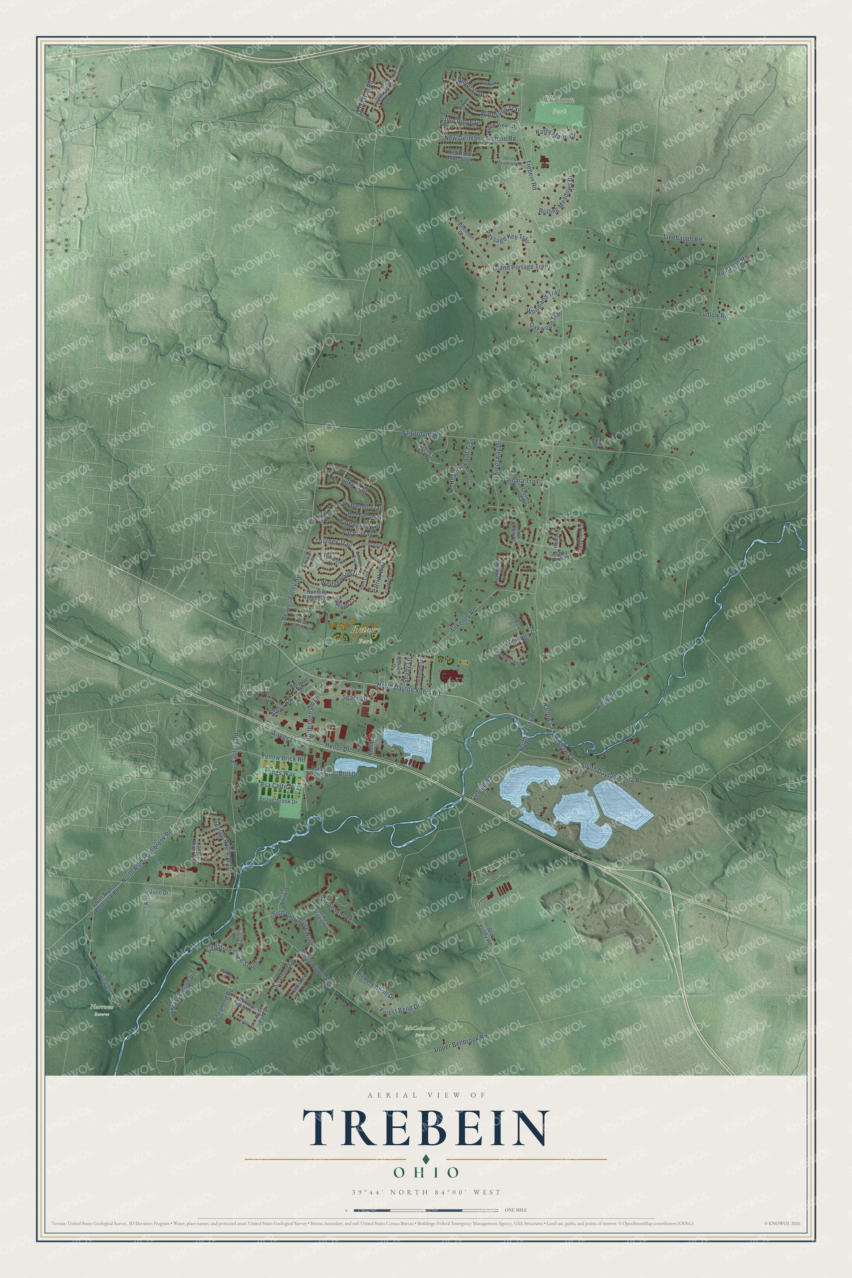
This beautifully detailed map of Trebein, Ohio was created in 2026 using aerial imagery combined with modern topographical, census, street and landmark data. It’s a one-of-a-kind view of Trebein that combines accurate data with a vintage aesthetic. The map shows every building in its true location, many of the roads carry their names, and the shaded topographic relief shows the shape of the land.
Explore an aerial view of Trebein, Ohio
On the map you’ll find Alpha, Hobson Park, McCalmont Park, Narrows Reserve, and Rotary Park, along with North Dayton Xenia Road, South Dayton Xenia Road, Spring Ridge Drive, Patriot Way, Shaw Lane, Trebein Road, Beaver Valley Road, and more. If you look closely you can even find your house accurately drawn in its correct location. Zoom in on the preview to look for yours.
Did You Know?
From Internet Archive: "William Trebein was one of the first four Germans who settled in Dayton."
Trebein is a community in Greene County.
Take a closer look at the Trebein map
Names on this map
These names are printed on this map.
Places: Alpha, Hobson Park, McCalmont Park, Narrows Reserve and Rotary Park.
Streets and roads: North Dayton Xenia Road, South Dayton Xenia Road, Spring Ridge Drive, Patriot Way, Shaw Lane, Trebein Road, Beaver Valley Road, Fairground Road, Indian Ripple Road, Linebaugh Road, North Valley Road, Hilltop Road.
More street names, A to Z
Abbey Park Place, Alpha Road, Amberley Court, Ankeney Road, Annandale Place, Audubon Lane, Bandit Trail, Bareback Trail, Bassett Court, Beaverbrook Drive, Bexley Hills Place, Brill Drive, Brittania Court, Bsa Celtic Way, Camden Trail, Castle Pine Court, Club North Drive, Cosler Court, Countryside Drive, Debbi Lane, Donham Drive, Durham Court, Dutch Mill Drive, Factory Road, Fawn Drive, Forest Bend Drive, Freedom Point, George Wythe Way, Grand Portage Trail, Harlow Lane, Heatherwood Trail, Heller Drive, Hickory Knoll Drive, Highland Lane, Homestead Drive, Hunt Club Drive, Hunters Ridge Boulevard, Huntland Court North, Hyde Park Place, James River Road, Kathy Marie Court, Kingsway Drive, Lancashire Drive, Langs Lane, Langs Way, Lincolnshire Drive, Ludlow Road, Maple Drive, Mistygate Drive, New Germany Trebein Road, North Alpha Bellbrook Road, North Orchard Lane, Oakland Drive, Oakwood Trail, Old Post Road, Old Valley Road, Pacer Court, Pacer Trail, Passage Key Trail, Pathfinder Court, Pawleys Plantation Court, Phillips Drive, Quail Run Road, Red Barn Way, Red Robin Drive South, Ridge View Court, Riverstone Drive, Rolling Meadows Drive, Routzong Road, Scarborough Place, Shady Lane, Shepherd Road, Signature Drive North, Signature Drive South, South Alpha Bellbrook Road, Space Drive, Sperling Lane, Spring Meadows Drive, Stewart Drive, Stonebury Court, Stormy Court, Stratford Lane, Sulky Trail, Tamara Trail, Tourney Trail, Trafalgar Place, Trebine Road, Upper Bellbrook Road, Valley Springs Road, Wedgewood Drive, White Tail Court, Whitetail Drive, Wild Dance Trail, Windsong Trail, Windsor Drive, Woodland Trail, Yellow Brick Road, Yorkshire Lane.
See it on a wall
The Trebein map as a framed print. Swipe for more.


This beautifully detailed map of Trebein makes an attractive addition to your office, library, or den, and it can even be used to teach children the geography and history of the area. It also makes a great gift for anyone who grew up in Trebein or moved away. When you’re done exploring, click here to get your copy of the Trebein map.