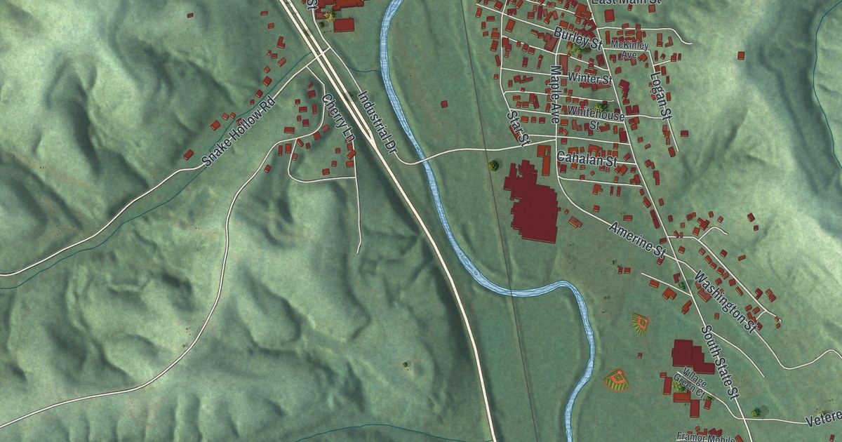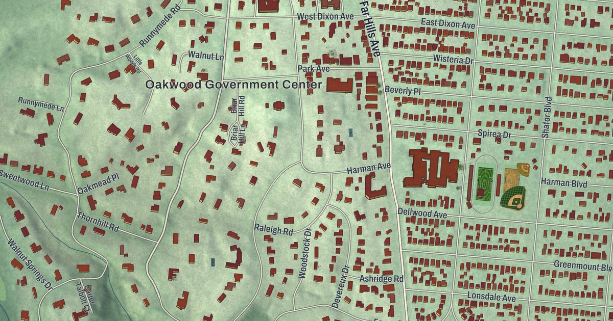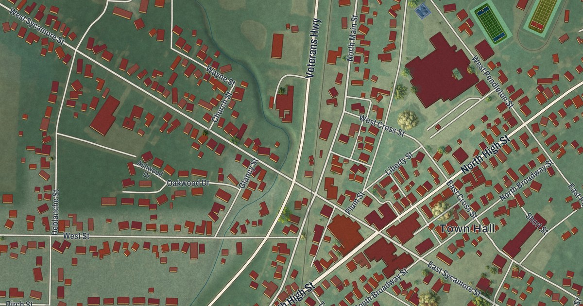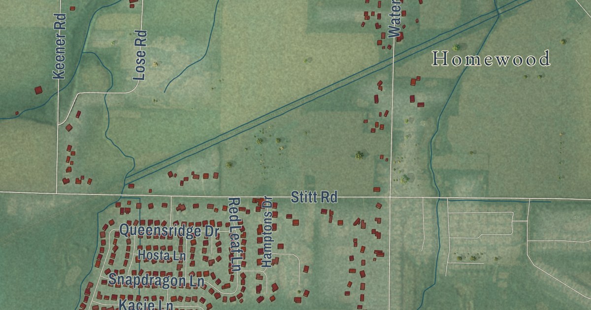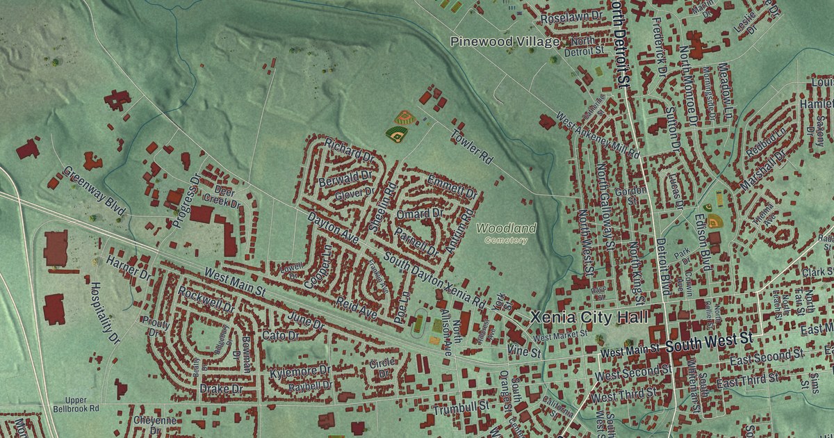
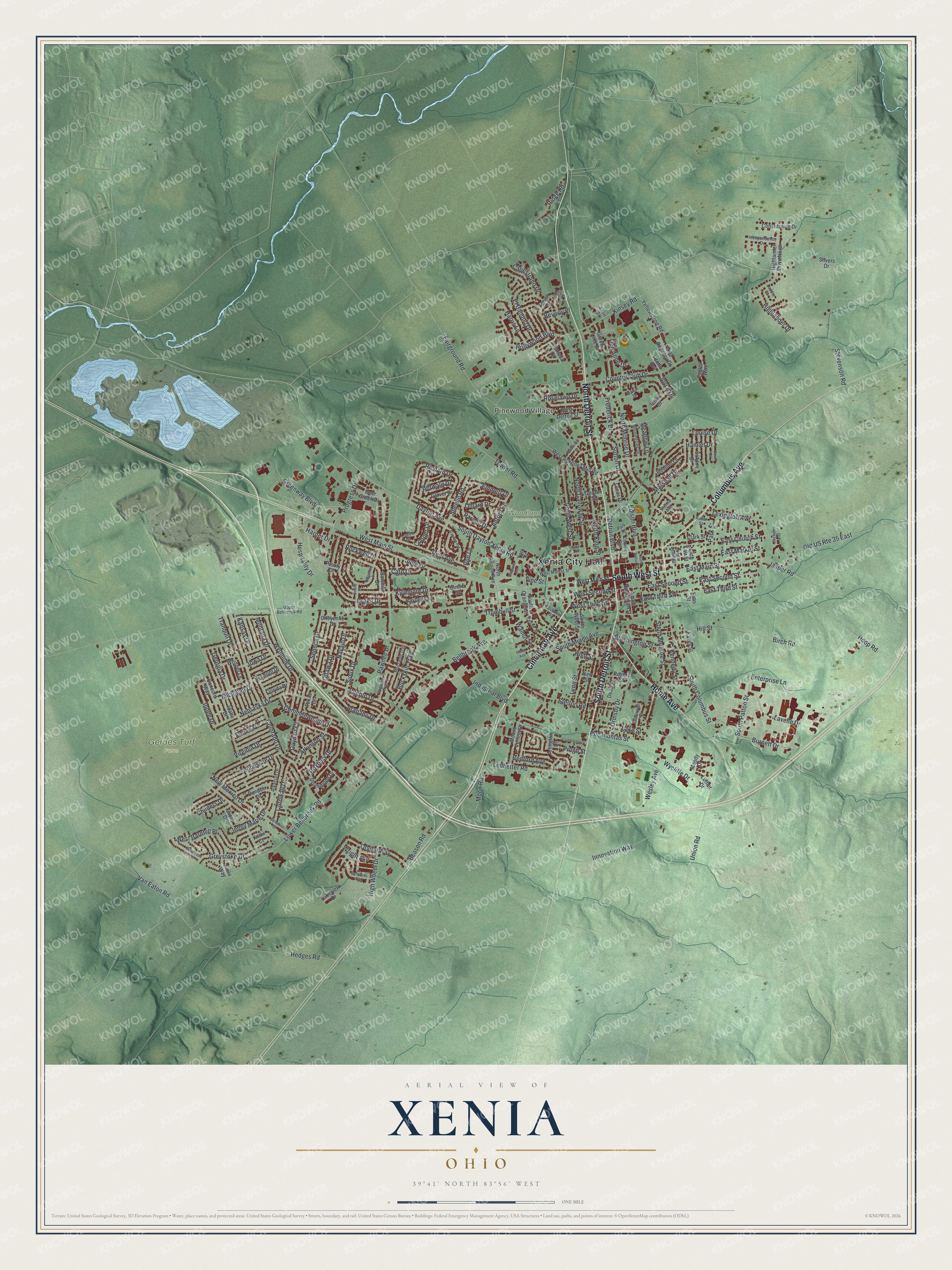
This beautifully detailed map of Xenia, Ohio was created in 2026 using aerial imagery combined with modern topographical, census, street and landmark data. It’s a one-of-a-kind view of Xenia that combines accurate data with a vintage aesthetic. The map shows every building in its true location, many of the roads carry their names, and the shaded topographic relief shows the shape of the land.
Explore an aerial view of Xenia, Ohio
On the map you’ll find Xenia City Hall, Pinewood Village, Gerdes Turf Farm, and Woodland Cemetery, along with Cincinnati Avenue, Columbus Avenue, South West Street, North Detroit Street, South Detroit Street, Home Avenue, West Main Street, East Church Street, and more. If you look closely you can even find your house accurately drawn in its correct location. Zoom in on the preview to look for yours.
Did you know this piece of Xenia, Ohio history?
An F5 tornado tore through the center of Xenia on April 3, 1974. It killed 34 people, destroyed nearly half the buildings and left 10,000 homeless. Bob Hope held a benefit for the city, and the new high school auditorium bears his name. The Daily Gazette staff won a Pulitzer Prize for covering the storm.
Take a closer look at the Xenia map
Street and place names on the Xenia, Ohio map
These names are printed on the map of Xenia, Ohio.
Places: Xenia City Hall, Pinewood Village, Gerdes Turf Farm and Woodland Cemetery.
Streets and roads: Cincinnati Avenue, Columbus Avenue, South West Street, North Detroit Street, South Detroit Street, Home Avenue, West Main Street, East Church Street, East Third Street, East Main Street, Dayton Avenue, Bellbrook Avenue.
More street names, A to Z
Alabama Drive, Alameda Drive, Amlin Drive, Antrim Road, Arapaho Drive, Arkansas Drive, Arlington Drive, Atkinson Street, Beason Road, Beatty Drive, Bedford Avenue, Berkshire Drive, Berwald Drive, Beverly Place, Birch Road, Botto Avenue, Bowman Drive, Buckskin Trail, Burnett Drive, California Street, Capestrano Drive, Catherine Street, Cato Drive, Center Street, Cheyenne Drive, Childers Drive, Circle Drive, Clark Street, Coddington Street, Colorado Drive, Commonwealth Drive, Concord Way, Constitution Drive, Cooper Lane, Cornwall Drive, Corwin Avenue, Country Club Drive, Cross Drive, Dean Street, Dee Anne Drive, Deer Creek Drive, Delta Avenue, Detroit Boulevard, Doral Drive, Drake Drive, Drummond Drive, Dundee Drive, Eagles Way, East Market Street, East Second Street, Eavey Street, Edison Boulevard, El Camino Drive, Emmett Drive, Enterprise Lane, Fairground Road, Florida Drive, Franklin Avenue, Frederick Drive, Gayhart Court, Georgia Drive, Glady Avenue, Glover Drive, Gordon Street, Greene Lake Drive, Greenway Boulevard, Greystoke Drive, Hamlet Drive, Harner Drive, Harris Lane, Hedges Road, Highlander Drive, Highlander Drive North, High Street, High Wheel Drive, Hillcrest Avenue, Hill Street, Hollywood Boulevard, Hoop Road, Hospitality Drive, Idaho Drive, Independence Drive, Industrial Boulevard, Innovation Way, Iowa Drive, Jackson Street, Jasper Road, Jenny Marie Drive, Jodee Drive, Joyce Drive, June Drive, Kansas Drive, Kennedy Street, Ketki Court, Kinsey Road, Kylemore Drive, Laddie Court, Lake Street, Lakeview Drive, Lavelle Drive, Ledbetter Road, Leslie Drive, Lexington Avenue, Louise Drive, Lowell Drive, Lower Bellbrook Road, Lucas Drive, Luther Drive, Lynn Street, Marshall Drive, Martin Drive, McDowell Street, Meadow Lane, Michigan Drive, Moccasin Trail, Montana Drive, Moody Drive, Moon Road, Morningside Drive, Mount Vernon Drive, Navajo Drive, Nebraska Drive, New Mexico Drive, New Street, North Allison Avenue, North Collier Street, North Fair Street, North Galloway Street, North King Street, North Leach Street, North Monroe Drive, North Regency Drive, North West Street, Old US Route 35 East, Omard Drive, Ormsby Drive, Orville Way, Ottawa Drive, Park Drive, Park Street, Parnell Drive, Pawnee Drive, Pocahontas Street, Poe Lane, Progress Drive, Prouty Drive, Prugh Street, Pueblo Drive, Race Street, Radar Street, Raybell Drive, Redbud Lane, Reid Avenue, Richard Drive, Ridgebury Drive, Ridge Road, Rockwell Drive, Rogers Street, Roselawn Drive, Roxbury Drive, Saxony Drive, Schwinn Avenue, Seneca Drive, Shannon Lane, Sheelin Road, Silvers Drive, Sims Street, Sioux Drive, South Columbus Street, South Dayton Xenia Road, South Miami Avenue, South Monroe Street, South Orange Street, South Patton Street, South Whiteman Street, Stelton Road, Stevenson Road, Sutton Drive, Tahoe Drive, Tennessee Drive, Texas Drive, Thelma Avenue, Towler Road, Tranquil Drive, Trumbull Street, Union Road, Upper Bellbrook Road, Van Eaton Road, Vermont Drive, Vimla Way, Vine Street, Virginia Drive, Walnut Street, Washington Street, Wesley Avenue, West Ankeney Mill Road, West Barnhill Place, West Market Street, West Second Street, West Third Street, Whisper Lane, Wigwam Trail, Wright Avenue, Wycliffe Drive, Wyoming Drive, Yellowstone Road, York Street.
See the Xenia, Ohio map on a wall
The Xenia map as an 18 x 24 inch print in a black frame.

This beautifully detailed map of Xenia makes an attractive addition to your office, library, or den, and it can even be used to teach children the geography and history of the area. It also makes a great gift for someone who left Xenia and still calls it home. When you’re done exploring, click here to get your copy of the Xenia map.