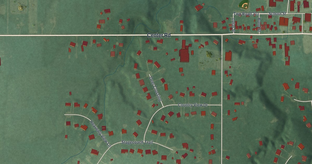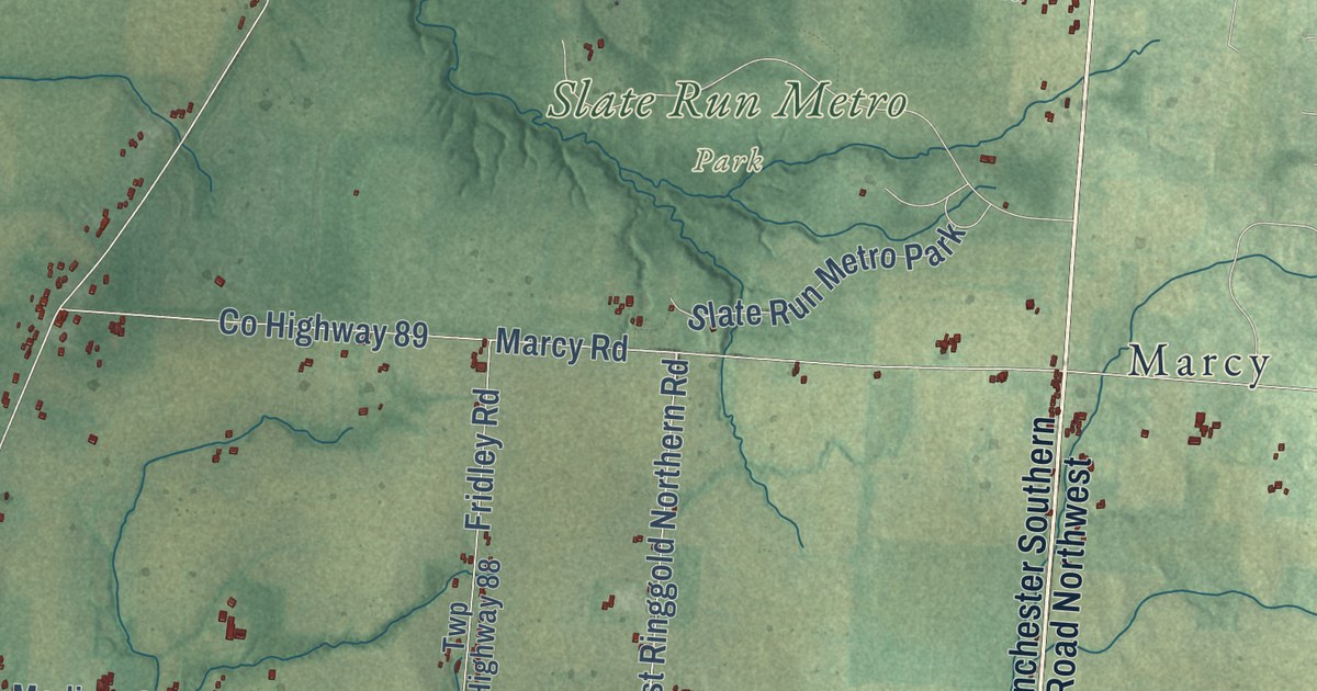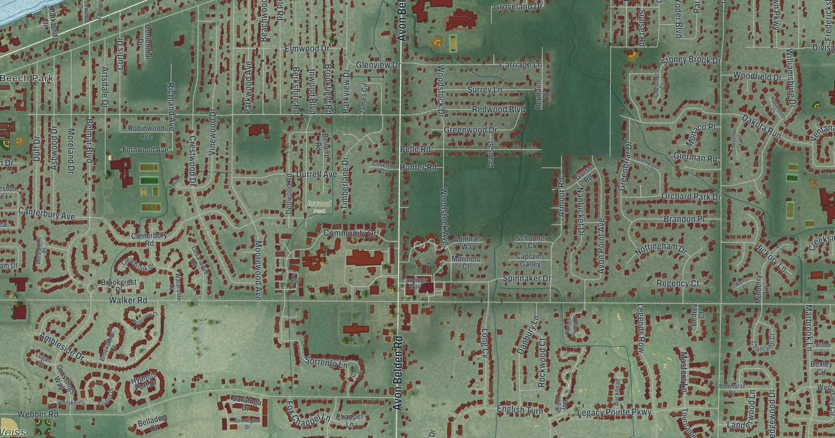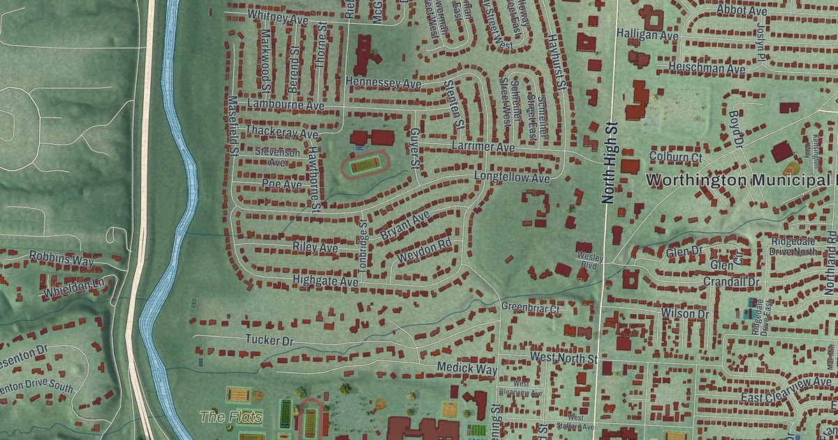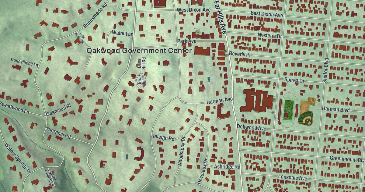
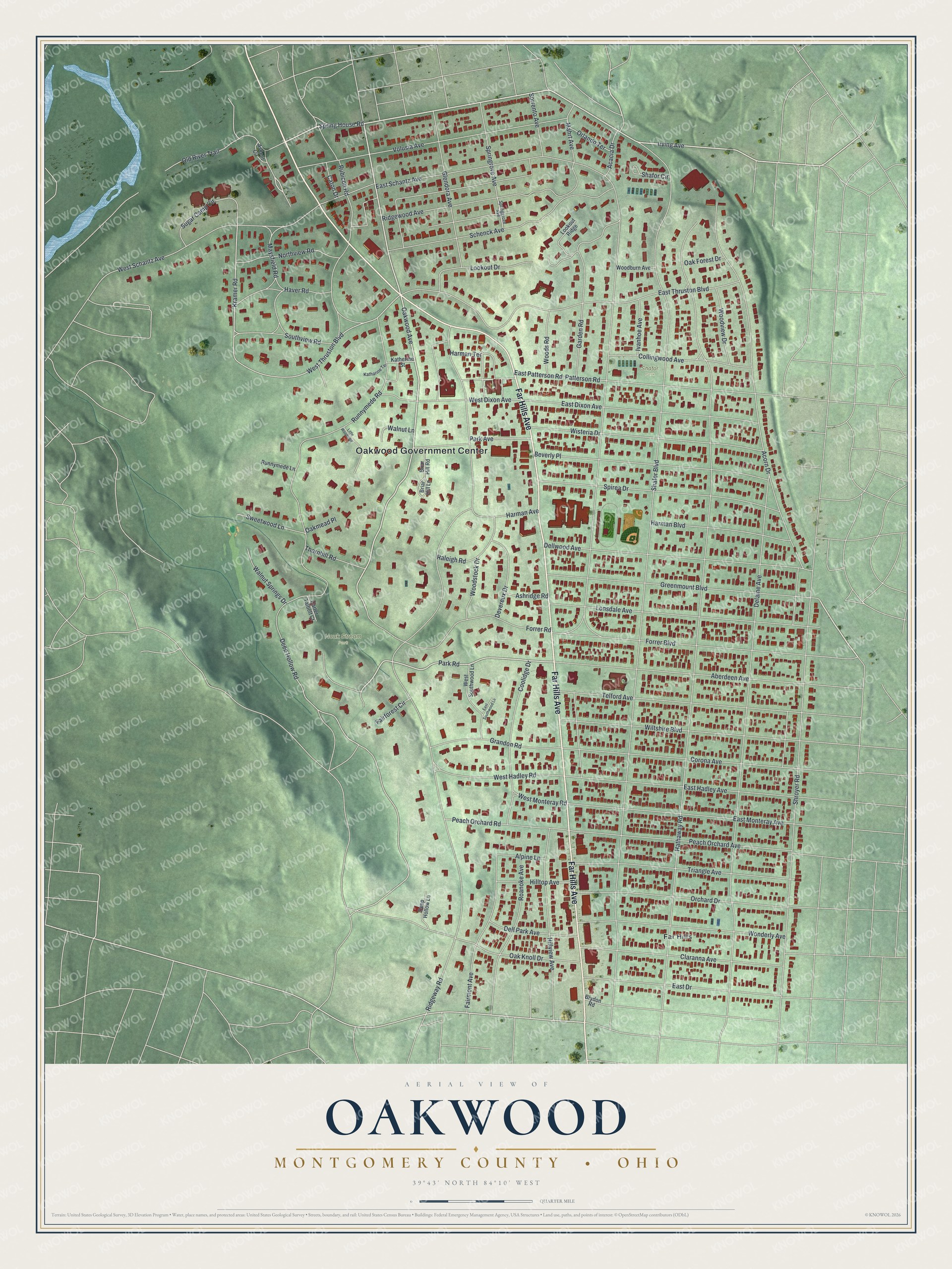
This beautifully detailed map of Oakwood, Montgomery County, Ohio was created in 2026 using aerial imagery combined with modern topographical, census, street and landmark data. It’s a one-of-a-kind view of Oakwood that combines accurate data with a vintage aesthetic. The map shows every building in its true location, many of the roads carry their names, and the shaded topographic relief shows the shape of the land.
Explore an aerial view of Oakwood, Montgomery County, Ohio
On the map you’ll find Oakwood Government Center, Houk Stream Park, Shafor Park, and Far Hills, along with Far Hills Avenue, Oakwood Avenue, Irving Avenue, Spring House Road, Park Road, Kramer Road, Deep Hollow Road, West Thruston Boulevard, and more. If you look closely you can even find your house accurately drawn in its correct location. Zoom in on the preview to look for yours.
Did you know this piece of Oakwood, Montgomery County, Ohio history?
From the 1909 History of the City of Dayton and Montgomery County Ohio: "Oakwood, first known as Oak Wood was platted in 1872. The Edgar and Van Cleve plats on Wayne avenue and Wyoming streets made large additions to the city."
Take a closer look at the Oakwood, Montgomery County map
Street and place names on the Oakwood, Montgomery County, Ohio map
These names are printed on the map of Oakwood, Montgomery County, Ohio.
Places: Oakwood Government Center, Houk Stream Park, Shafor Park and Far Hills.
Streets and roads: Far Hills Avenue, Oakwood Avenue, Irving Avenue, Spring House Road, Park Road, Kramer Road, Deep Hollow Road, West Thruston Boulevard, Shafor Boulevard, East Schantz Avenue, Hathaway Road, Ridgeway Road.
More street names, A to Z
Aberdeen Avenue, Acacia Drive, Acorn Drive, Alpine Lane, Ascent Circle, Ashridge Road, Beverly Place, Briar Hill Lane, Briar Hill Road, Brydon Road, Carter Talbott Court, Caton Drive, Claranna Avenue, Collingwood Avenue, Coolidge Drive, Corona Avenue, Deep Hollow Lane, Delaine Avenue, Dell Park Avenue, Dellwood Avenue, Devereux Drive, East Dixon Avenue, East Drive, East Hadley Avenue, East Monteray Avenue, East Patterson Road, East Southwood Lane, East Thruston Boulevard, Fairforest Circle, Fairmont Avenue, Forrer Boulevard, Forrer Road, Garden Road, Glendora Avenue, Grandon Road, Greenmount Boulevard, Harman Avenue, Harman Boulevard, Harman Terrace, Haver Road, Hilltop Avenue, Hillview Avenue, Ivanhoe Avenue, Katharine Terrace, Katherine Street, Little Woods Road, Lonsdale Avenue, Lookout Drive, Lookout Ridge, Mahrt Avenue, Maysfield Road, Northview Road, Oak Forest Drive, Oak Knoll Drive, Oakmead Place, Old River Trail, Orchard Drive, Orlando Terrace, Park Avenue, Patterson Road, Peach Orchard Avenue, Peach Orchard Road, Raleigh Road, Ridgewood Avenue, Roanoke Avenue, Rubicon Road, Runnymede Lane, Runnymede Road, Schenck Avenue, Shafor Circle, Shroyer Road, Sorrento Avenue, Southview Road, Spirea Drive, Springgrove Avenue, Springrove Avenue, Sugar Camp Circle, Sweetwood Lane, Telford Avenue, Thornhill Road, Triangle Avenue, Volusia Avenue, Walnut Lane, Walnut Springs Drive, West Dixon Avenue, West Hadley Road, West Monteray Road, West Schantz Avenue, West Southwood Lane, Wiltshire Boulevard, Wisteria Drive, Wonderly Avenue, Woodburn Avenue, Woods Road, Woodstock Drive, Woodview Drive.
See the Oakwood, Montgomery County, Ohio map on a wall
The Oakwood, Montgomery County map as an 18 x 24 inch print in a black frame.

This beautifully detailed map of Oakwood, Montgomery County makes an attractive addition to your office, library, or den, and it can even be used to teach children the geography and history of the area. It also makes a great gift for anyone who grew up in Oakwood or moved away. When you’re done exploring, click here to get your copy of the Oakwood, Montgomery County map.