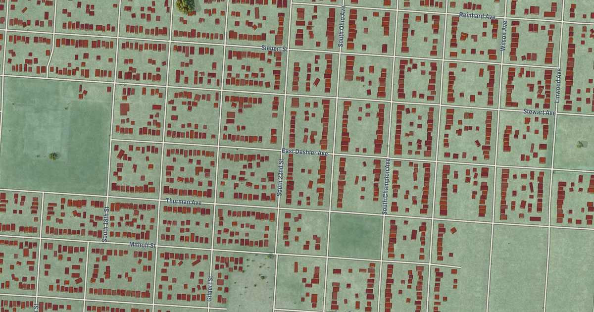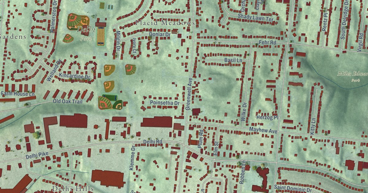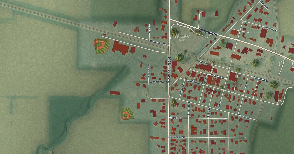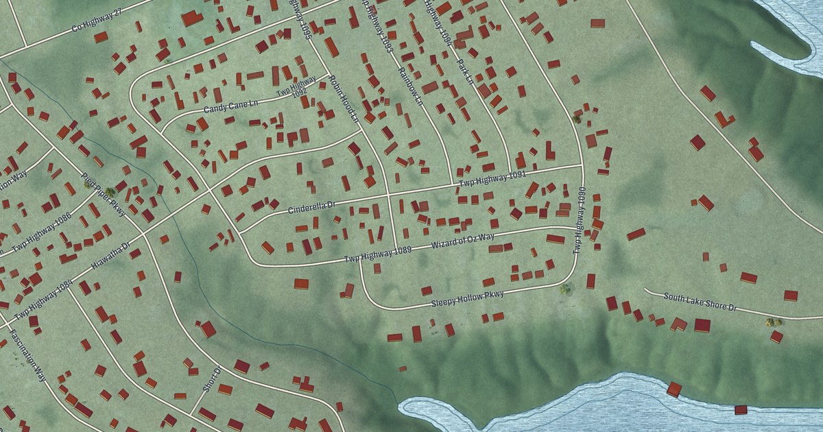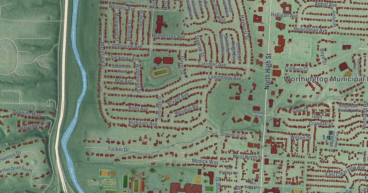
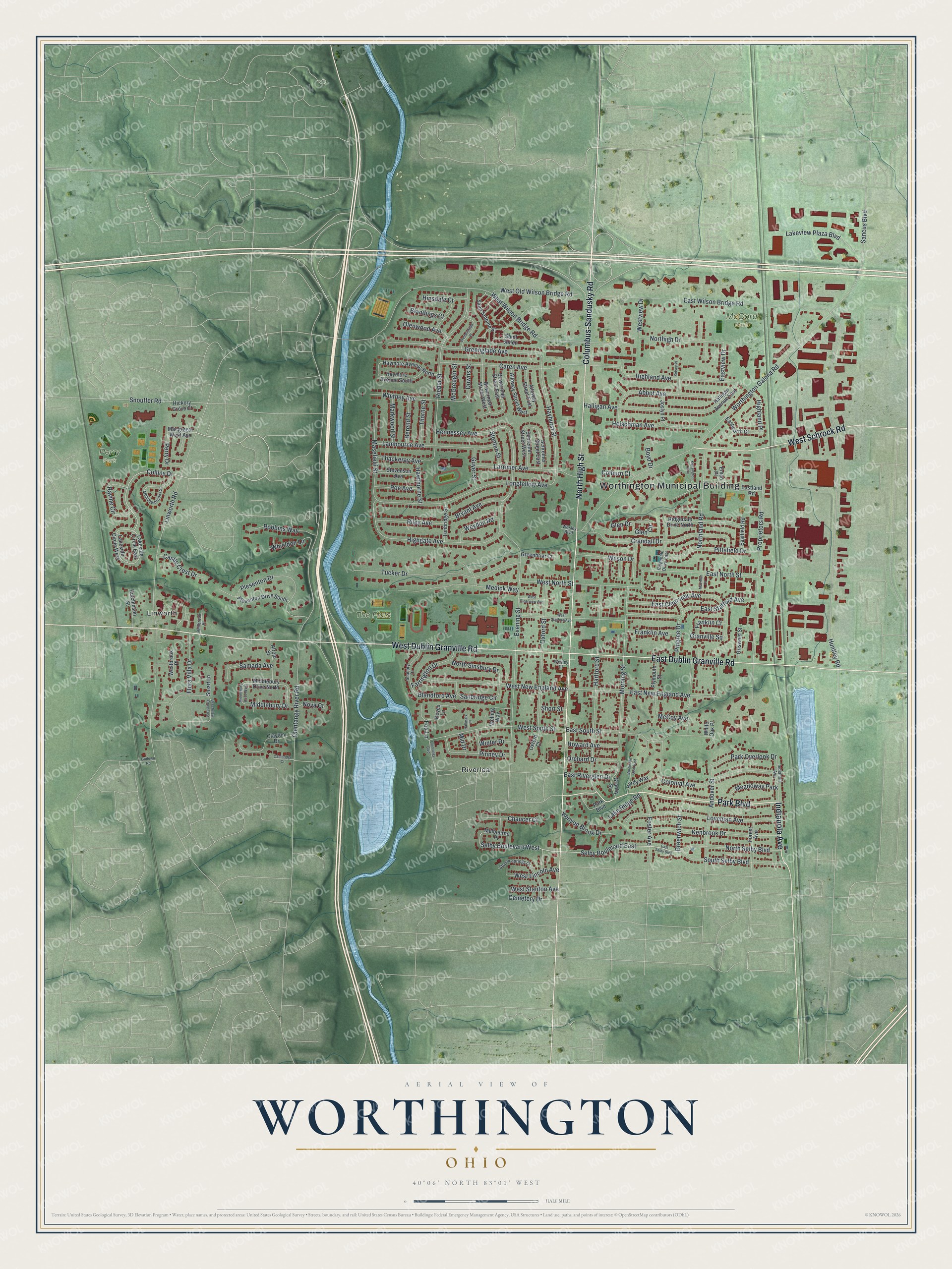
This beautifully detailed map of Worthington, Ohio was created in 2026 using aerial imagery combined with modern topographical, census, street and landmark data. It’s a one-of-a-kind view of Worthington that combines accurate data with a vintage aesthetic. The map shows every building in its true location, many of the roads carry their names, and the shaded topographic relief shows the shape of the land.
Explore an aerial view of Worthington, Ohio
On the map you’ll find Worthington Municipal Building, McCord Park, Perry Park, The Flats, Linworth, and Riverlea, along with North High Street, Columbus-Sandusky Road, West Dublin Granville Road, East Dublin Granville Road, Park Boulevard, West Schrock Road, and more. If you look closely you can even find your house accurately drawn in its correct location. Zoom in on the preview to look for yours.
Did you know this piece of Worthington, Ohio history?
In 1802 settlers in Granby, Connecticut, formed the Scioto Company and chose James Kilbourne as president. They bought 16,000 acres along the Whetstone River, now the Olentangy. In 1803 they honored Thomas Worthington, an early Ohio senator, with the village name. Each member also gave two dollars to start a library.
Take a closer look at the Worthington map
Street and place names on the Worthington, Ohio map
These names are printed on the map of Worthington, Ohio.
Places: Worthington Municipal Building, McCord Park, Perry Park, The Flats, Linworth, Riverlea and Meadoway Park.
Streets and roads: North High Street, Columbus-Sandusky Road, West Dublin Granville Road, East Dublin Granville Road, Park Boulevard, West Schrock Road, Indianola Avenue, Collins Drive, Selby Boulevard East, Selby Boulevard West, Hayhurst Street, Middlebury Drive.
More street names, A to Z
Abbot Avenue, Alloway Street East, Alloway Street West, Alrojo Street, Andover Street, Beechview Drive East, Bellbrook Place, Berend Street, Betsey Place, Blandford Avenue, Blandings Court, Bowerman Street East, Bowerman Street West, Boyd Drive, Brookside Oval East, Bryant Avenue, Cambridge Court, Caren Avenue, Castle Crest Drive, Cemetery Drive, Chaucer Court, Clayton Drive, Colburn Court, Colonial Avenue, Crandall Drive, Downs Street, East Clearview Avenue, Eastfield Road, Eastland Road, East New England Avenue, East North Street, East Riverglen Drive, East Selby Boulevard, East South Street, East Stafford Avenue, Eastview Drive, East Wilson Bridge Road, Eastworth Court, Emco Place, Evening Street, Farrington Drive, Flora Villa Drive, Forest Avenue, Foster Avenue, Fox Lane, Franklin Avenue, Franklin Court, Glen Circle, Glen Drive, Godown Road, Granby Street, Granville Square, Greenbriar Court, Greenglade Avenue, Greenwich Street, Griswold Street, Guyer Street, Halligan Avenue, Halligan Avenue East, Hallmark Place, Hardy Way, Hartford Street, Hawthorne Street, Haymore Avenue North, Haymore Avenue South, Heischman Avenue, Hennessey Avenue, Hickory Grove Court, Highgate Avenue, Highland Avenue, Highland Place, Hinsdale Court, Howard Avenue, Huntley Road, Hutchinson Street, Joslyn Place, Kenbrook Drive, Kensington Way, Kenyon Brook Drive, Keyes Lane, Lake Ridge Road, Lakeside Circle East, Lakeside Circle West, Lakeview Plaza Boulevard, Lambourne Avenue, Larrimer Avenue, Linworth Road, Longfellow Avenue, Loveman Avenue, Macgregor West Avenue, Mar-Min Court, Markwood Street, Masefield Street, McCoy Avenue, McGreegor Street, Meadowbrook Circle, Medick Way, Melbourne Place, Middlebury Drive North, Middlebury Drive West, Mid Drive, Morning Street, Northigh Drive, Northland Road, North Selby Boulevard, North Sinsbury Drive, Nova Court, Olentangy Boulevard, Olentangy River Road, Olenwood Avenue, Orchard Drive, Oxford Court, Oxford Street, Park Overlook Drive, Perry Drive, Pingree Drive, Pinney Drive, Pittsfield Drive, Plesenton Drive, Plesenton Drive South, Plymouth Street, Poe Avenue, Proprietors Road, Ravine Circle, Ridgedale Drive East, Ridgedale Drive North, Rieber Street, Riley Avenue, Robbins Way, Saint Antoine Street, Saint Julien, Samada Avenue, Sanbridge Circle, Sancus Boulevard, Schreiner Street East, Schreiner Street West, Seabury Drive, Sharon Springs Drive, Short Street, Snouffer Road, South Selby Boulevard, Stenten Street, Stevenson Avenue, Stuart Lane, Thackeray Avenue, Thorne Street, Tonbridge Street, Tucker Drive, Welling Way, Wesley Boulevard, Wesley Court, Westbrook Place, West Clearview Avenue, West Lincoln Avenue, West New England Avenue, West North Street, West Old Wilson Bridge Road, West South Street, West Stafford Avenue, West Stanton Avenue, Westview Drive, West Wilson Bridge Road, Wethersfield Place, Weydon Road, Whieldon Lane, White Oak Place, Whitney Avenue, Wilson Drive, Winter Drive, Worthington Galena Road.
See the Worthington, Ohio map on a wall
The Worthington map as an 18 x 24 inch print in a black frame.

This beautifully detailed map of Worthington makes an attractive addition to your office, library, or den, and it can even be used to teach children the geography and history of the area. It also makes a great gift for someone who left Worthington and still calls it home. When you’re done exploring, click here to get your copy of the Worthington map.