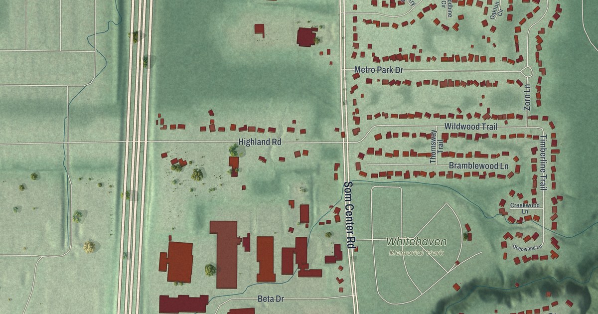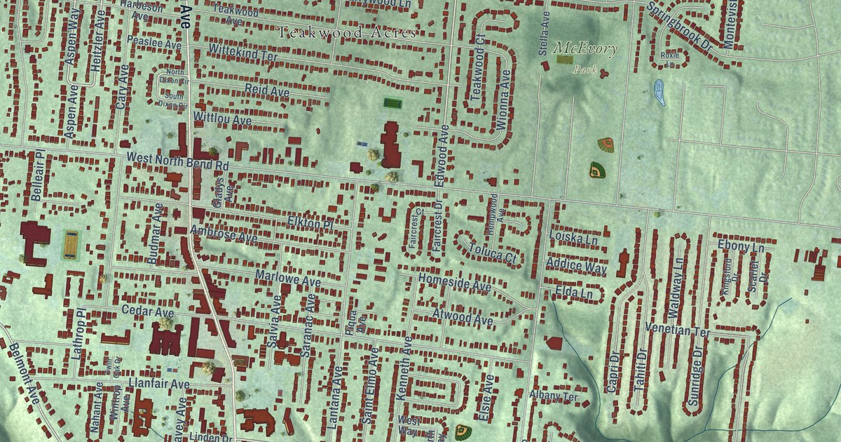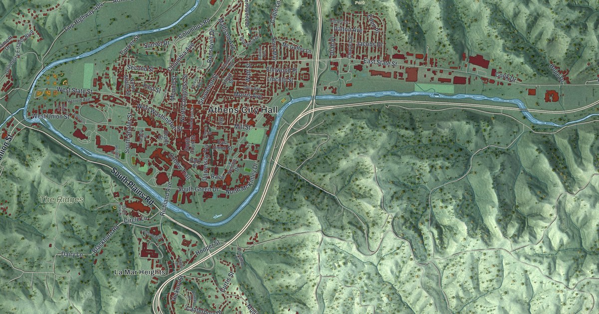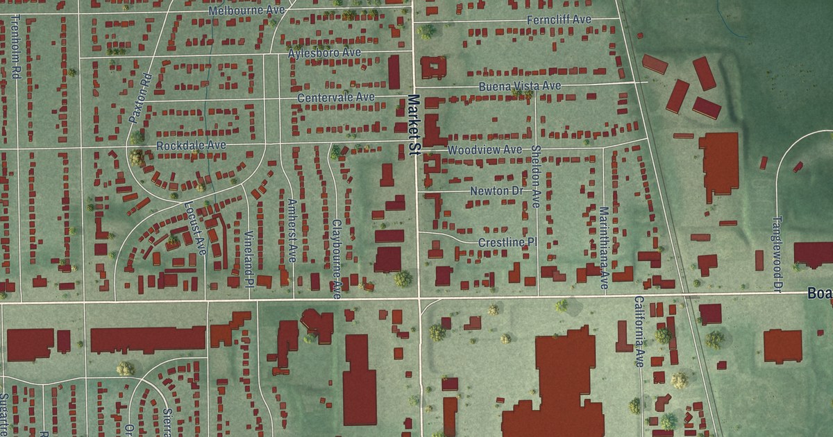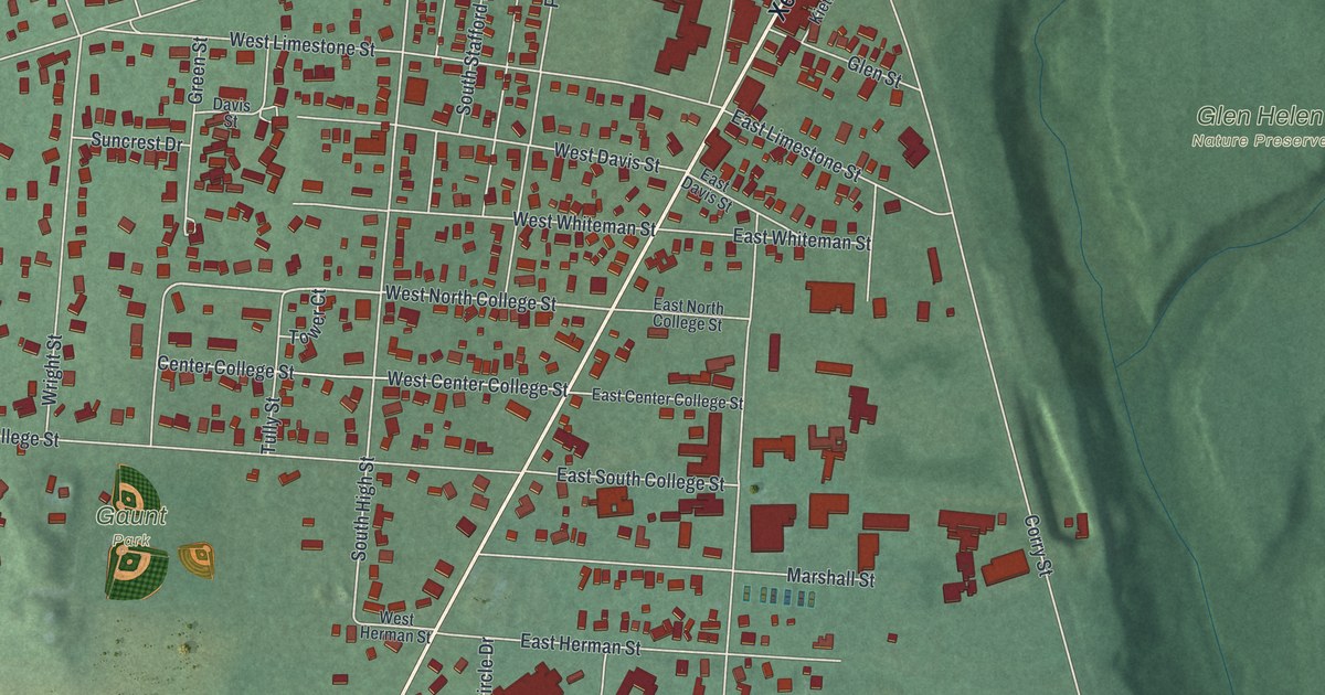
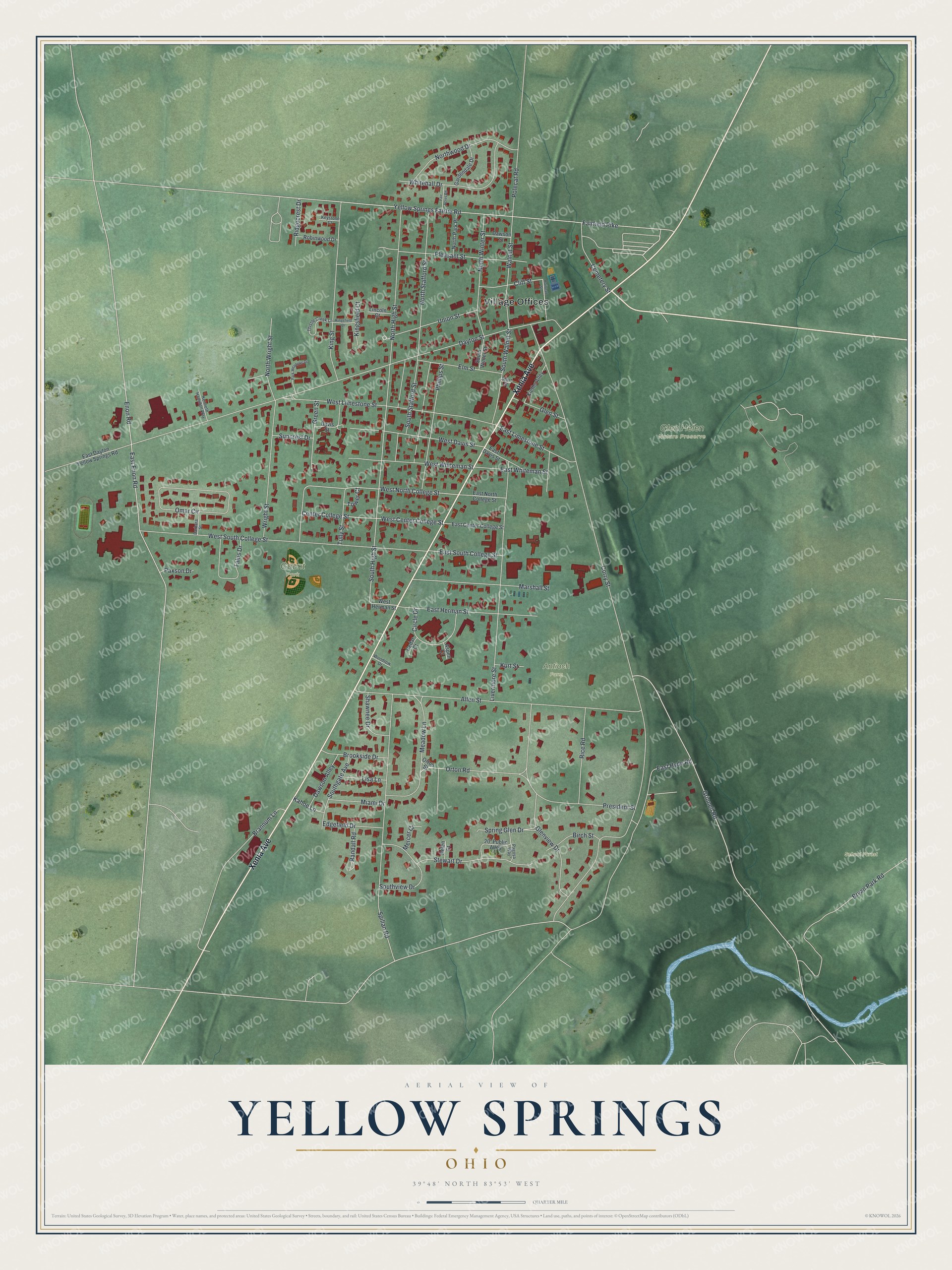
This beautifully detailed map of Yellow Springs, Ohio was created in 2026 using aerial imagery combined with modern topographical, census, street and landmark data. It’s a one-of-a-kind view of Yellow Springs that combines accurate data with a vintage aesthetic. The map shows every building in its true location, many of the roads carry their names, and the shaded topographic relief shows the shape of the land.
Explore an aerial view of Yellow Springs, Ohio
On the map you’ll find Village Offices, Gaunt Park, Glen Helen Nature Preserve, School Forest, and Antioch Farm, along with Xenia Avenue, East Hyde Road, West North College Street, South High Street, Corry Street, Dayton Street, Fairfield Pike, and more. If you look closely you can even find your house accurately drawn in its correct location. Zoom in on the preview to look for yours.
Did you know this piece of Yellow Springs, Ohio history?
Wheeling Gaunt bought his own freedom from slavery and moved to Yellow Springs in the 1860s. He died in 1894 owning much land. He left the village a large tract and asked that its rent buy flour for poor widows. The land became Gaunt Park, and the village still gives widows flour and sugar each Christmas.
Take a closer look at the Yellow Springs map
Street and place names on the Yellow Springs, Ohio map
These names are printed on the map of Yellow Springs, Ohio.
Places: Village Offices, Gaunt Park, Glen Helen Nature Preserve, School Forest and Antioch Farm.
Streets and roads: Xenia Avenue, East Hyde Road, West North College Street, South High Street, Corry Street, Dayton Street, Fairfield Pike, Yellow Springs Fairfie Road, Grinnell Road, West South College Street, Allen Street, Spillan Road.
More street names, A to Z
20' Public Alley, Aspen Court, Barbara Street, Birch Street, Brannum Lane, Brookside Drive, Bryan Park Road, Cedar Court, Cemetery Street, Center College Street, Circle Drive, Cliff Street, Davis Street, Dawson Alley, Dawson Street, East Center College Street, East Davis Street, East Dayton Yellow Springs Road, East Enon Road, East Herman Street, East Limestone Street, East North College Street, East South College Street, East Whiteman Street, Edgefield Drive, Elm Street, Enon Road, Fair Acres Road, Gardendale Drive, Glen Street, Glenview Drive, Green Street, Helen Court, Kahoe Lane, Kenneth Hamilton Way, Keystone Court, Kieths Alley, Kingsfield Court, Kingsfield Drive, King Street, Kurt Street, Lincoln Court, Lisa Lane, Livermore Street, Marshall Street, Meadow Lane, Mercer Court, Miami Drive, North High Street, North Park Place, North Stafford Street, North Winter Street, Northwood Drive, North Wright Street, Omar Circle, Orton Road, Orton Street, Pagosa Way, Park Meadows Drive, Paxson Drive, Phillips Street, Pleasant Street, Polecat Road, President Street, Railroad Street, Randall Road, Rice Road, Ridgecrest Drive, Robinwood Drive, Shawnee Drive, Short Street, Southgate Avenue, South Stafford Street, Southview Drive, South Walnut Street, South Winter Street, Spring Glen Drive, Stewart Drive, Suncrest Drive, Talus Drive, Thistle Creek Lane, Tower Court, Tully Street, Union Street, Walnut Street, West Center College Street, West Davis Street, West Herman Street, West Limestone Street, West Whiteman Street, Whitehall Drive, Woodrow Drive, Wright Street.
See the Yellow Springs, Ohio map on a wall
The Yellow Springs map as an 18 x 24 inch print in a black frame.

This beautifully detailed map of Yellow Springs makes an attractive addition to your office, library, or den, and it can even be used to teach children the geography and history of the area. It also makes a great gift for someone who left Yellow Springs and still calls it home. When you’re done exploring, click here to get your copy of the Yellow Springs map.