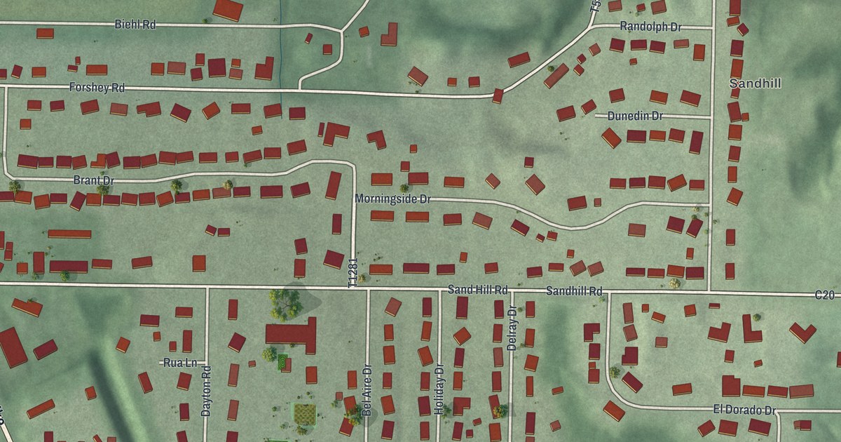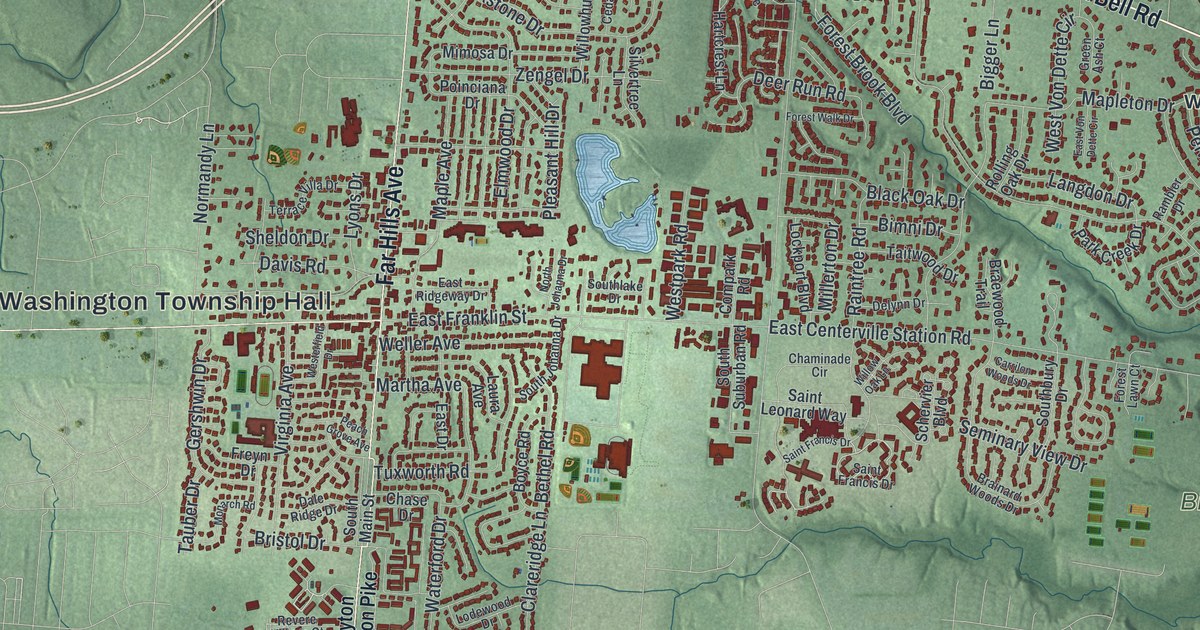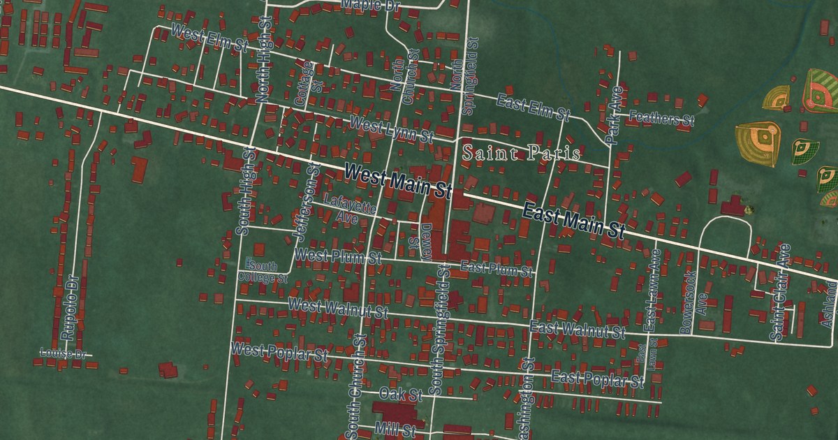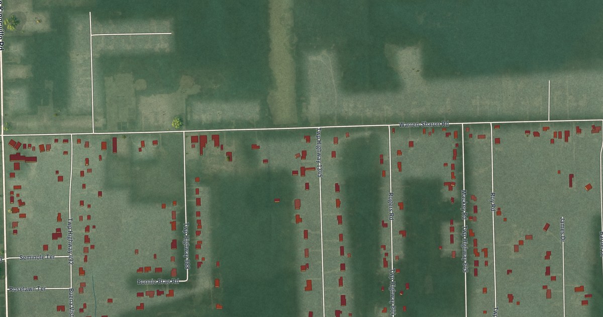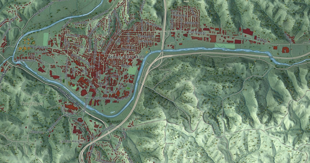
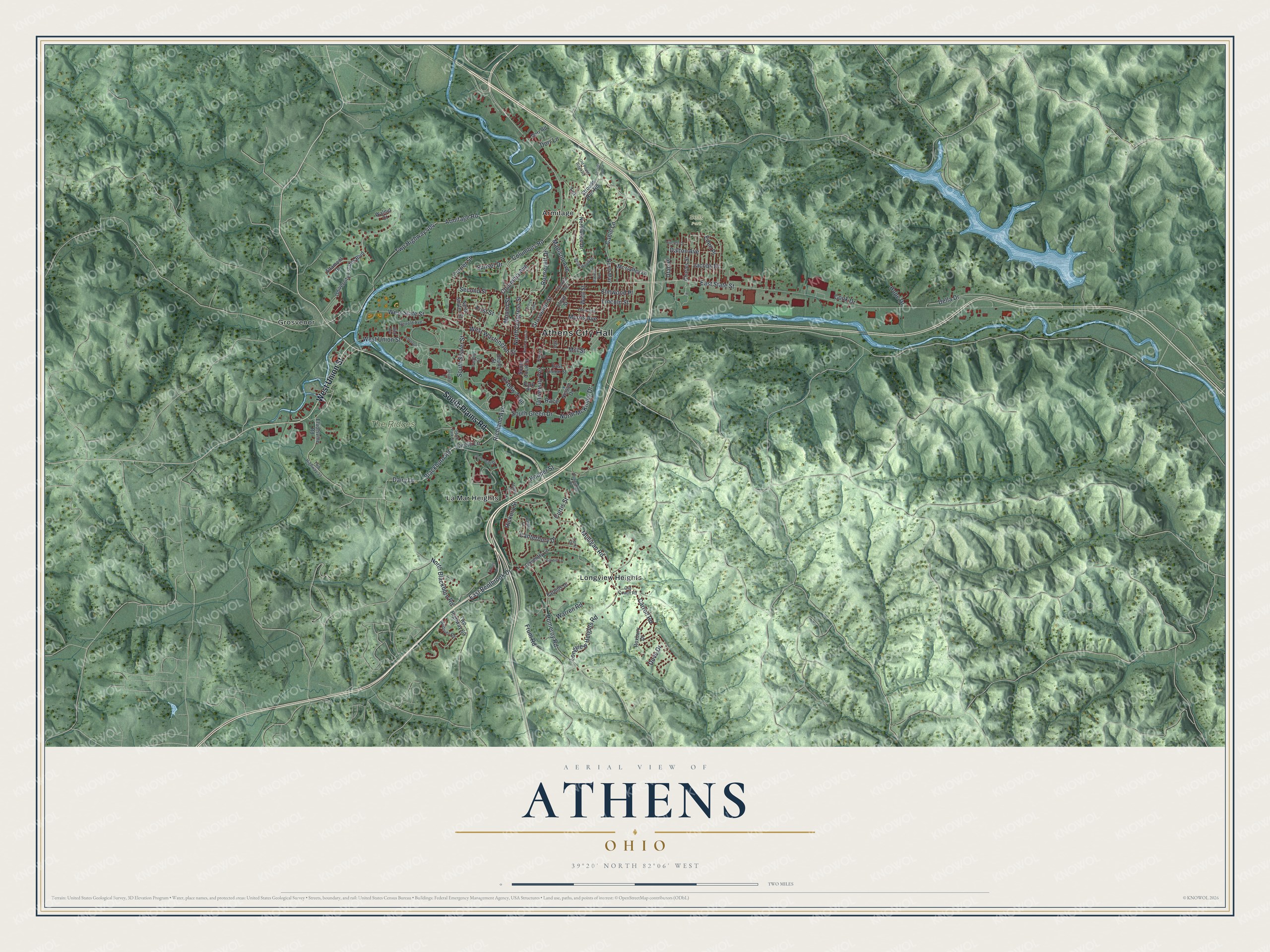
This beautifully detailed map of Athens, Ohio was created in 2026 using aerial imagery combined with modern topographical, census, street and landmark data. It’s a one-of-a-kind view of Athens that combines accurate data with a vintage aesthetic. The map shows every building in its true location, many of the roads carry their names, and the shaded topographic relief shows the shape of the land.
Explore an aerial view of Athens, Ohio
On the map you’ll find Athens City Hall, Sells Park, The Ridges, Armitage, Grosvenor, La Mar Heights, and Longview Heights, along with South Plains Road, West Union Street, Columbus Road, Columbia Avenue, West Washington Street, and more. If you look closely you can even find your house accurately drawn in its correct location. Zoom in on the preview to look for yours.
Did you know this piece of Athens, Ohio history?
Ohio University was chartered in Athens in 1804. It was the first public college in the Northwest Territory. Its land came from the first federal land grant ever made for a university, more than 70 years before the Morrill Act. Selling that land paid for the school’s growth.
Take a closer look at the Athens map
Street and place names on the Athens, Ohio map
These names are printed on the map of Athens, Ohio.
Places: Athens City Hall, Sells Park, The Ridges, Armitage, Grosvenor, La Mar Heights and Longview Heights.
Streets and roads: South Plains Road, West Union Street, Columbus Road, Columbia Avenue, West Washington Street, Richland Avenue, East Bentbrook Drive, Blackburn Road, North Blackburn Road, Cable Lane, Second Street, South Shafer Street.
More street names, A to Z
Altamont Drive, Andover Road, Armitage Road, Atlantic Street, Blick Avenue, Briarwood Drive, Canterbury Drive, Cardiff Lane, Carroll Road, Charles Street, Church Street, Circle Lane, Cook Drive, Coventry Lane, Currier Street, Curtis Street, Dairy Lane, Dalton Avenue, Della Drive, Depot Street, Dorr Lane, Dorr Road, Dove Drive, East State Street, East Union Street, Eden Place, Elliotsville Road, Elmwood Place, Factory Street, Fairview Avenue, Farhills Drive, First Street, Franklin Avenue, Frum Road, Greenbrier Drive, Grosvenor Street, Herrold Avenue, Hickory Street, Hillcrest Drive, Hooper Street, Hope Drive, Hospital Drive, Jacobs Drive, Jefferson, Kimes Lane, Lamar Drive, Lincoln Street, Lloyd Street, Longview Heights Road, Madison Avenue, Marietta Avenue, Mc Guffey Lane, Mill Street, Morris Avenue, Mound Street, Mulligan Road, Nelson Drive, North Congress Street, North Court Street, North May, North McKinley Drive, North Shafer Street, Northwood Drive, Nottingham Drive, Oak, Ohio Avenue, Old Coach Road, Old Peach Ridge Road, Oxbow Trail, Park Place, Pomeroy Road, Race, Roosevelt Drive, Roxbury Drive, South Court Street, South Green Drive, South Park Drive, Strouds Run Drive, Strouds Run Road, Sunset Drive, Terrace, Twp Highway 33, Twp Highway 60, Twp Highway 404, University Estates Boulevard, University Terrace, Utah Place, Walnut Court, Warren Road, Watt Street, West State Street, York Drive.
See the Athens, Ohio map on a wall
The Athens map as an 18 x 24 inch print in a black frame.

This beautifully detailed map of Athens makes an attractive addition to your office, library, or den, and it can even be used to teach children the geography and history of the area. It also makes a great gift for anyone with Athens roots. When you’re done exploring, click here to get your copy of the Athens map.