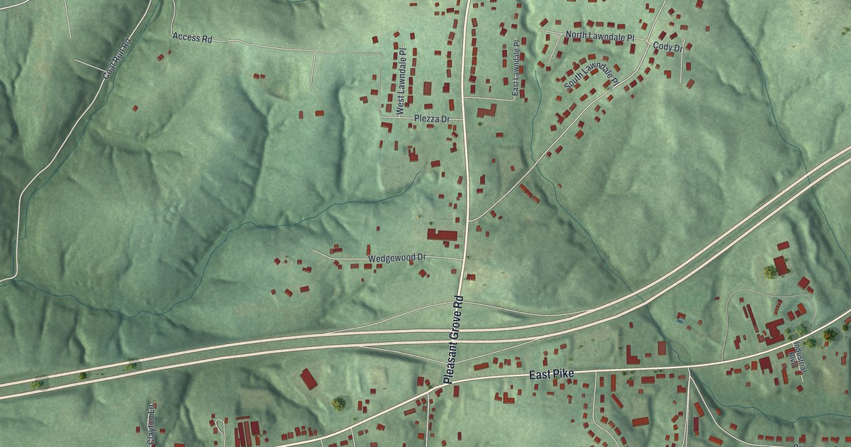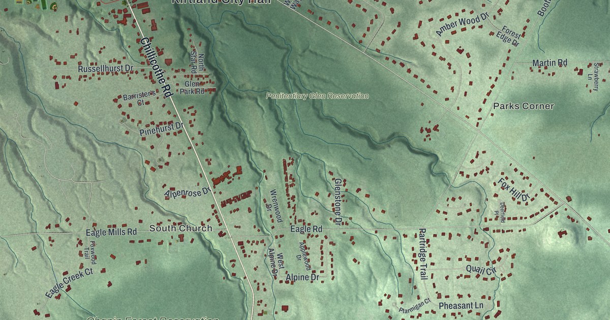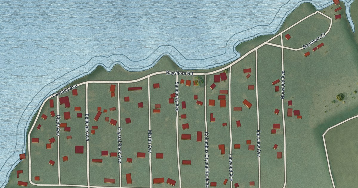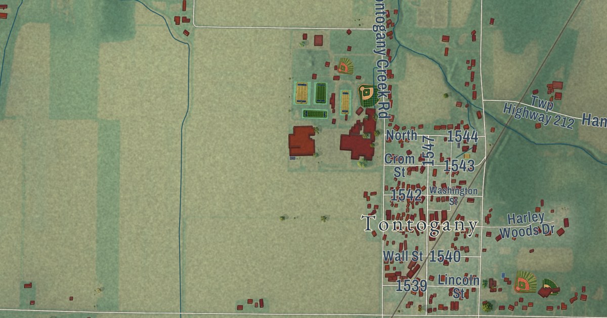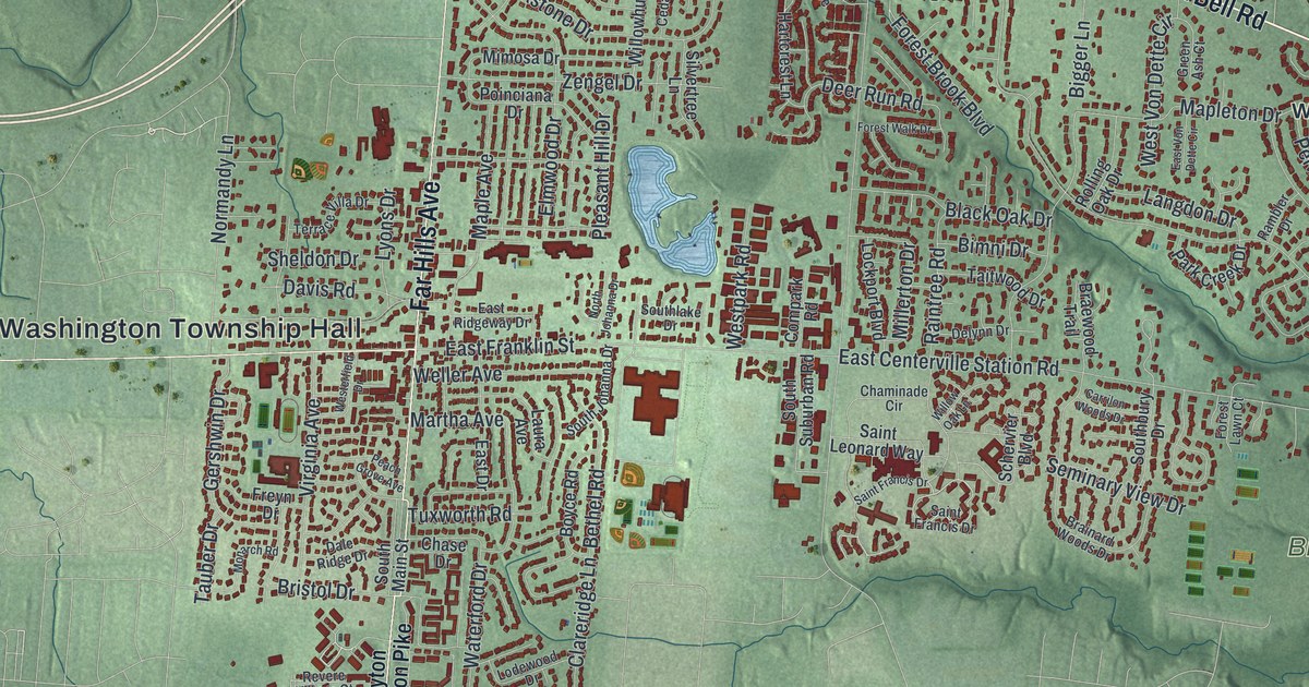
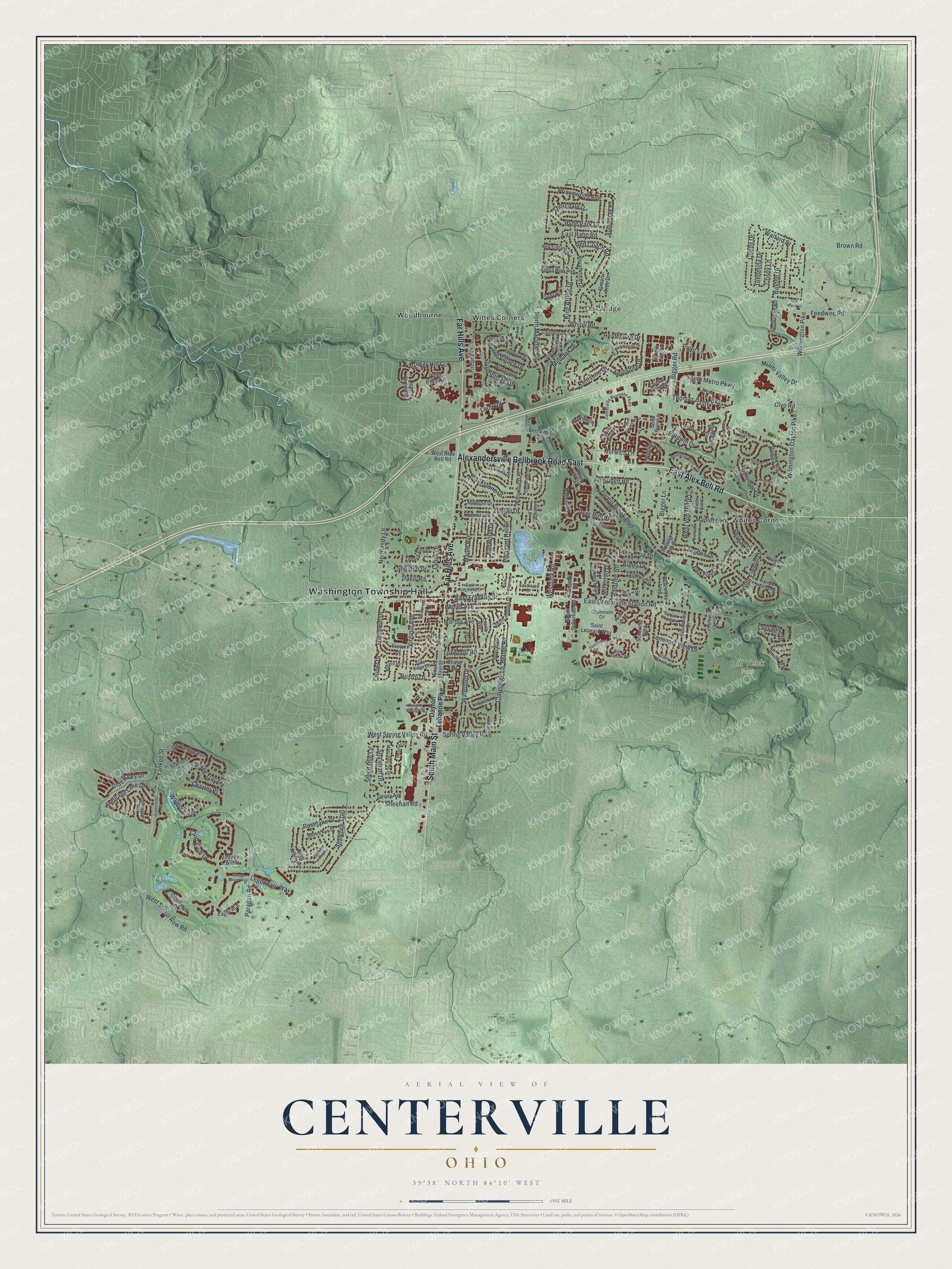
This beautifully detailed map of Centerville, Ohio was created in 2026 using aerial imagery combined with modern topographical, census, street and landmark data. It’s a one-of-a-kind view of Centerville that combines accurate data with a vintage aesthetic. The map shows every building in its true location, many of the roads carry their names, and the shaded topographic relief shows the shape of the land.
Explore an aerial view of Centerville, Ohio
On the map you’ll find Washington Township Hall, Oak Ridge, Bill Yeck Park, Whites Corner, Wittes Corners, and Woodbourne, along with Alexandersville Bellbrook Road East, Far Hills Avenue, South Main Street, East Alex Bell Road, Wilmington Pike, Wilmington Dayton Pike, and more. If you look closely you can even find your house accurately drawn in its correct location. Zoom in on the preview to look for yours.
Did you know this piece of Centerville, Ohio history?
In February 1796, three brothers-in-law from New Jersey surveyed the Centerville site. One of them, Benjamin Robbins, named it for his hometown of Centreville. He noted that it sat between two rivers and near other towns. The Post Office changed the spelling to Centerville in 1900.
Take a closer look at the Centerville map
Street and place names on the Centerville, Ohio map
These names are printed on the map of Centerville, Ohio.
Places: Washington Township Hall, Oak Ridge, Bill Yeck Park, Whites Corner, Wittes Corners and Woodbourne.
Streets and roads: Alexandersville Bellbrook Road East, Far Hills Avenue, South Main Street, East Alex Bell Road, Wilmington Pike, Wilmington Dayton Pike, Yankee Street, Spring Valley Pike, Club View Drive, Clyo Road, Yankee Trace Drive, North Marshall Road.
More street names, A to Z
Ambridge Road, Applecreek Road, Atterbury Court, Baldwin Drive, Bethel Road, Bigger Lane, Bigger Road, Bimni Drive, Black Oak Drive, Blackstone Drive, Boyce Road, Braewood Trail, Brainard Woods Drive, Breezy Hill Circle, Briggs Road, Bristol Drive, Brown Road, Carrilon Woods Drive, Carters Grove Road, Cedar Cove Drive, Cedarleaf Drive, Centerville Business Parkway, Chaminade Circle, Charter Place, Chase Drive, Chipplegate Drive, Clareridge Lane, Clintshire Drive, Compark Road, Courtyard Place, Crispy Lane, Cushwa Drive, Dale Ridge Drive, Davis Road, Dayton Lebanon Pike, Deer Crossing, Deer Run Road, Delynn Drive, Devay Avenue, Dobbs Drive, Eagle Run, East Centerville Station Road, East Drive, East Franklin Street, East Rahn Road, East Ridgeway Drive, East Von Dette Circle, Edgebrook Drive, Elmwood Drive, Fallen Oak Trce, Feedwire Road, Fernshire Drive, Fireside Drive, Forest Brook Boulevard, Forest Lawn Court, Forest Walk Drive, Freyn Drive, Gatekeeper Way, Gershwin Drive, Glenburn Drive, Glenmina Drive, Green Ash Court, Green Branch Drive, Greenside Court, Green Tree Drive, Hartcrest Lane, Haxton Drive, Heather Drive, Heathshire Drive, Heritage Lake Drive, Highland Meadows Drive, Hingham Lane, Hollowview Trail, Hyde Park Drive, Jason Lane, John Elwood Drive, Kentshire Drive, King Arthur Drive, Kings Row Avenue, Langdon Drive, Laura Avenue, Lausanne Drive, Legendary Way, Little Yankee Run, Lockport Boulevard, Lodewood Drive, Loop Road, Lyons Drive, Maple Avenue, Mapleton Drive, Martha Avenue, Mary Haynes Drive, Miami Valley Drive, Millbank Drive, Millerton Drive, Mimosa Drive, Monarch Road, New England Avenue, Normandy Lane, North Johanna Drive, North Village Drive, Norwich Lane, Oak Hill Lane, Olde Haley Drive, Old Whipp Court, Overbrooke Road, Paragon Road, Park Creek Drive, Park Ridge Drive, Peach Grove Avenue, Pelway Drive, Pelwood Drive, Penridge Drive, Pimlico, Piper Lane, Pleasant Hill Drive, Poinciana Drive, Pond Ridge Drive, Princewood Avenue, Raintree Road, Rambler Drive, Redbarn Trail, Red Coach Road, Revere Village Court, Rhine Way, Rolling Oak Drive, Rose Arbor Drive, Roselake Drive, Royalwood Drive, Saint Francis Drive, Saint Leonard Way, Sandyhill Drive, Schervier Boulevard, Seminary View Drive, Severn Lane, Shawhan Drive, Shawnee Trail, Sheehan Road, Sheldon Drive, Shirley Ann Drive, Silvertree Lane, Single Tree Lane, Southbury Drive, South Johanna Drive, Southlake Drive, South Metro Parkway, South Suburban Road, South Village Drive, Stansel Circle, Stephanie Lane, Stone Lake Drive, Susan Drive, Taitwood Drive, Tauber Drive, Terrace Villa Drive, Thomas Paine Parkway, Thorndale Drive, Tifton Green Trail, Tuxworth Road, Versailles Drive, Vintage Green Way, Vintage Lake Court, Virginia Avenue, Walford Drive, Waterford Drive, Waters Edge Drive, Weathered Wood Trail, Weller Avenue, Wembley Circle, West Alex Bell Road, Westerfield Drive, Westpark Road, West Social Row Road, West Spring Valley Road, West Von Dette Circle, Whipp Road, Whittington Drive, Willowhurst Place, Willow Oak Lane, Yardley Circle, Zengel Drive.
See the Centerville, Ohio map on a wall
The Centerville map as an 18 x 24 inch print in a black frame.

This beautifully detailed map of Centerville makes an attractive addition to your office, library, or den, and it can even be used to teach children the geography and history of the area. It also makes a great gift for anyone with Centerville roots. When you’re done exploring, click here to get your copy of the Centerville map.