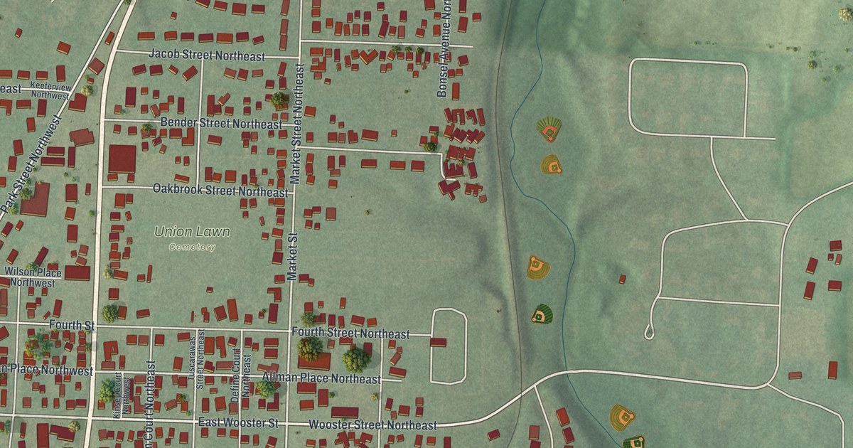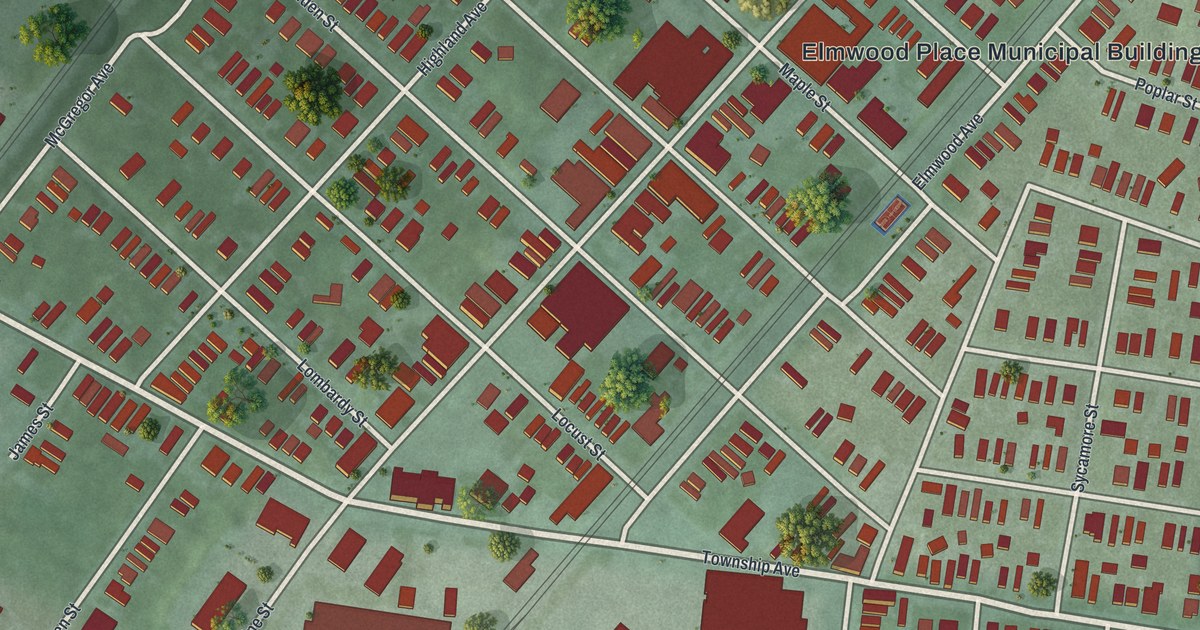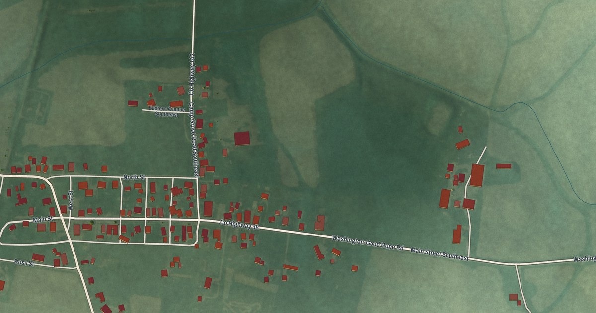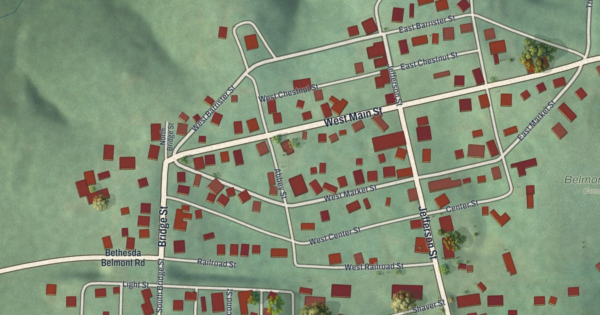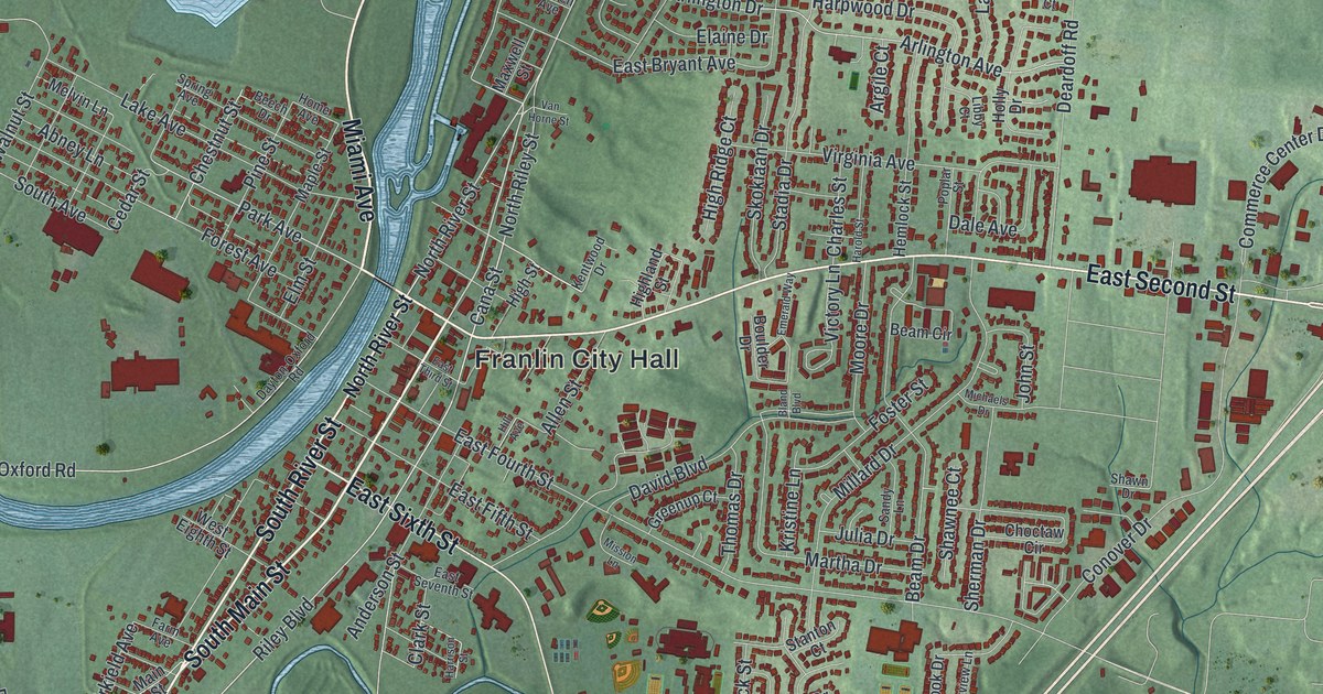
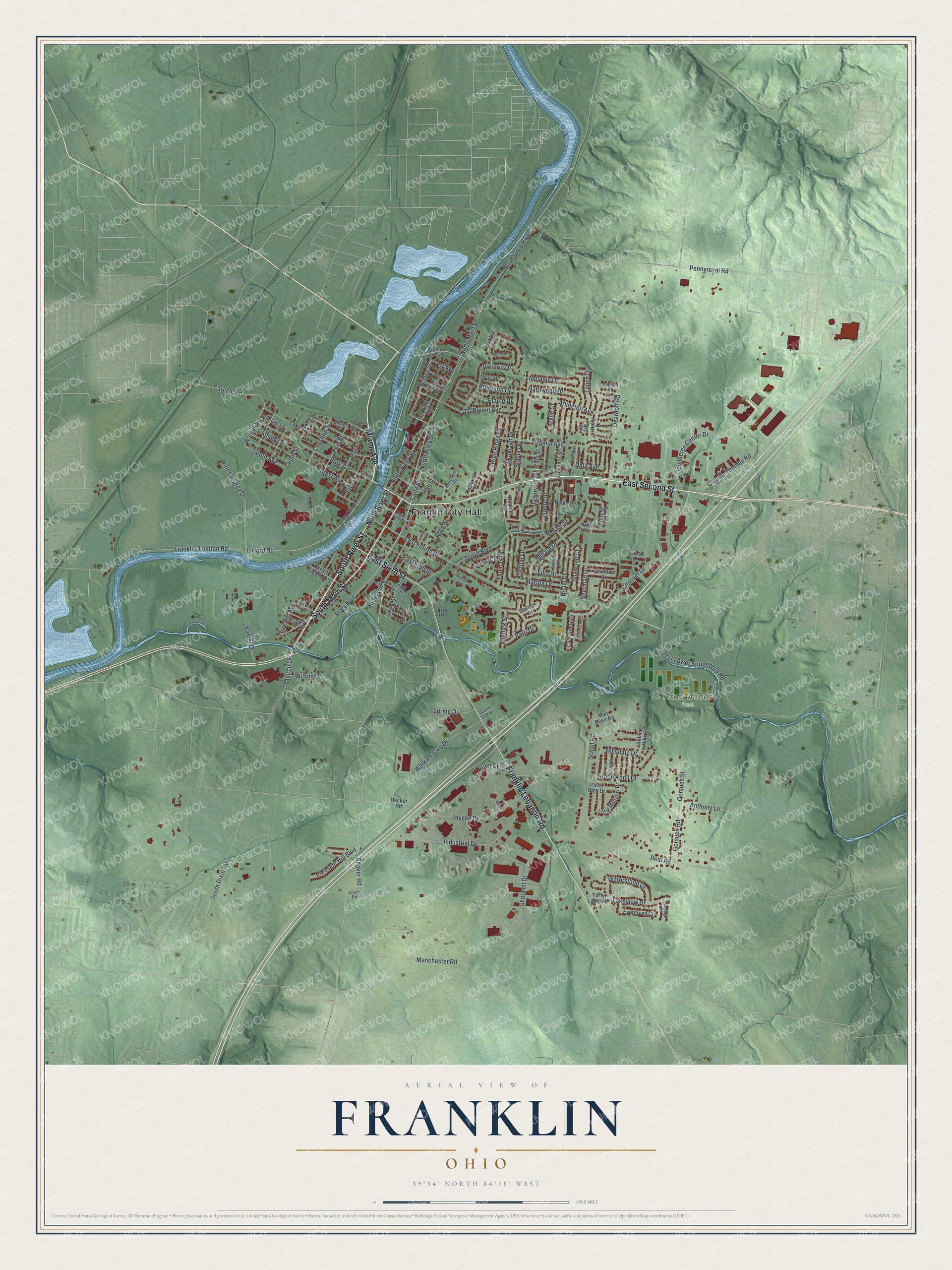
This beautifully detailed map of Franklin, Ohio was created in 2026 using aerial imagery combined with modern topographical, census, street and landmark data. It’s a one-of-a-kind view of Franklin that combines accurate data with a vintage aesthetic. The map shows every building in its true location, many of the roads carry their names, and the shaded topographic relief shows the shape of the land.
Explore an aerial view of Franklin, Ohio
On the map you’ll find Franlin City Hall and Hazel Woods Park, along with South Main Street, Miami Avenue, South River Street, East Second Street, Franklin Lebanon Road, East Sixth Street, North Main Street, Riley Boulevard, North River Street, Oxford Road, and more. If you look closely you can even find your house accurately drawn in its correct location. Zoom in on the preview to look for yours.
Did you know this piece of Franklin, Ohio history?
General William C. Schenck founded the town in 1796 and named it for Benjamin Franklin. When the Miami and Erie Canal came through, boat traffic brought new trade. A pork slaughterhouse, a sawmill and a whiskey distillery soon opened. The first mayor, elected at a tavern meeting in 1837, was Dr. Absalom Death.
Take a closer look at the Franklin map
Street and place names on the Franklin, Ohio map
These names are printed on the map of Franklin, Ohio.
Places: Franlin City Hall and Hazel Woods Park.
Streets and roads: South Main Street, Miami Avenue, South River Street, East Second Street, Franklin Lebanon Road, East Sixth Street, North Main Street, Riley Boulevard, North River Street, Oxford Road, Park Avenue, North Riley Street.
More street names, A to Z
Abney Lane, Allen Street, Anderson Street, Anthony Lane, Argile Court, Arlington Avenue, Arlington Drive, Art Avenue, Ascot Glen Drive, Baxter Drive, Beal Road, Beam Circle, Beam Drive, Beech Drive, Bland Boulevard, Boulder Drive, Boys Avenue, Bridge Street, Cana Street, Carlisle Road, Cedar Street, Charles Street, Chestnut Street, Choctaw Circle, Church Lane, Clark Street, Claude-Thomas Road, Clearbrook Drive, Clearview Lane, Commerce Center Drive, Conover Drive, Dale Avenue, David Boulevard, Dayton-Oxford Road, Deardoff Road, Decker Road, East Bryant Avenue, East Fifth Street, East Fourth Street, East Seventh Street, East Third Street, Elaine Drive, Elm Street, Emerald Way, Evergreen Court, Farm Avenue, Field Crest Drive, Forest Avenue, Foster Street, Franklin Trenton Road, Gorsuch Road, Gorsuch Street, Graham Drive, Grand Oak Drive, Green Knoll Drive, Greenup Court, Gribble Drive, Harold Street, Harpwood Drive, Harrison Street, Hemlock Street, Highland Street, High Ridge Court, High Street, Hill Avenue, Hillsdale Drive, Holly Drive, Home Avenue, Industrial Drive, Jaygee Drive, John Street, Julia Drive, Kenneth Koons Boulevard, Kentwood Drive, Kristine Lane, Lake Avenue, Lakeridge Drive, Lakeview Drive, Lance Drive, Libby Court, Long Meadow Drive, Mad River Road, Main Street, Manchester Road, Maple Street, Martha Drive, Maxwell Street, Melanie Drive, Melvin Lane, Michaels Drive, Millard Drive, Miller Street, Minnick Street, Mission Lane, Moore Drive, Morgan Court, North Dixie Highway, Patti Drive, Pennyroyal Road, Pine Street, Pleasant Hill Boulevard, Poplar Street, Rolling Hills Drive, Rossman Court, Ruppert Court, Sandy Lane, Scholl Road, Shaker Road, Shawn Drive, Shawnee Court, Sherman Drive, Shotwell Drive, Skokiaan Drive, South Avenue, South Dixie Highway, Spring Avenue, Spring Drive, Stadia Drive, Stanton Court, Thirkield Avenue, Thomas Drive, Twin Lakes Drive, Union Road, Van Horne Street, Victoria Drive, Victory Lane, Virginia Avenue, Walnut Street, Warren Avenue, Water Source Drive, Waterstone Drive, Watkins Glen Drive, West Eighth Street, West Lower Springboro Road, Wilson Drive.
See the Franklin, Ohio map on a wall
The Franklin map as an 18 x 24 inch print in a black frame.

This beautifully detailed map of Franklin makes an attractive addition to your office, library, or den, and it can even be used to teach children the geography and history of the area. It also makes a great gift for anyone with Franklin roots. When you’re done exploring, click here to get your copy of the Franklin map.